Distance 20.5 miles
Climbing 3117 ft
Difficulty Hard
Weather Sunny at first , becoming cloudy with rain later.
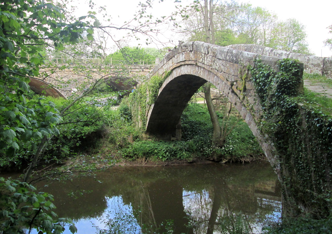
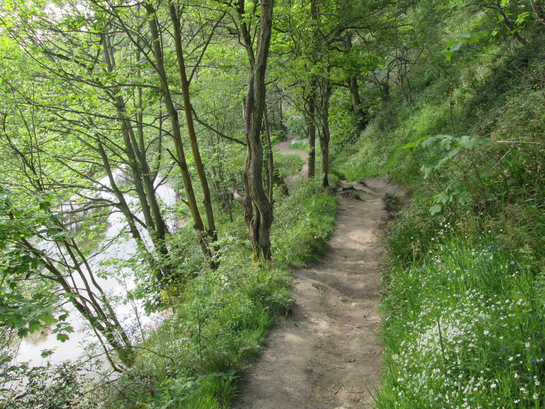
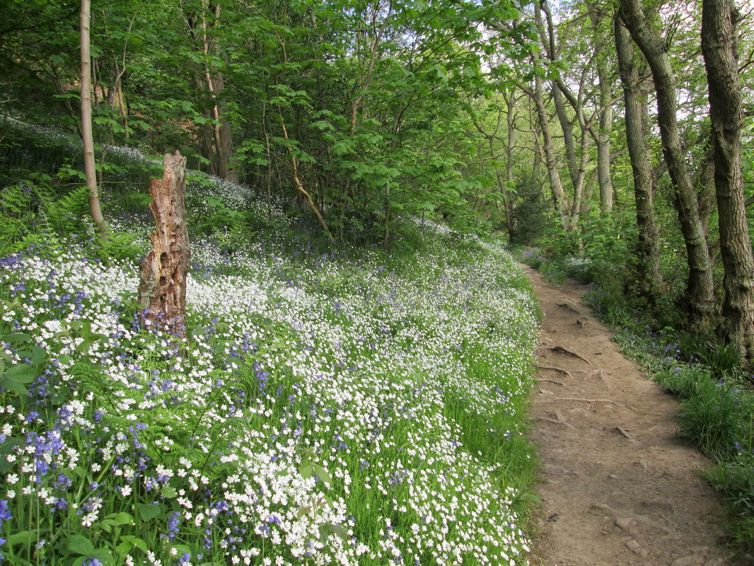
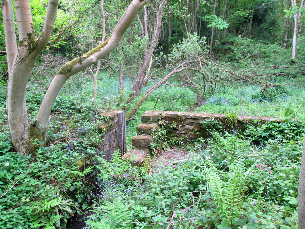
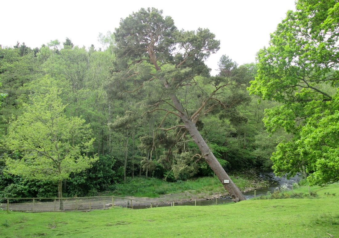
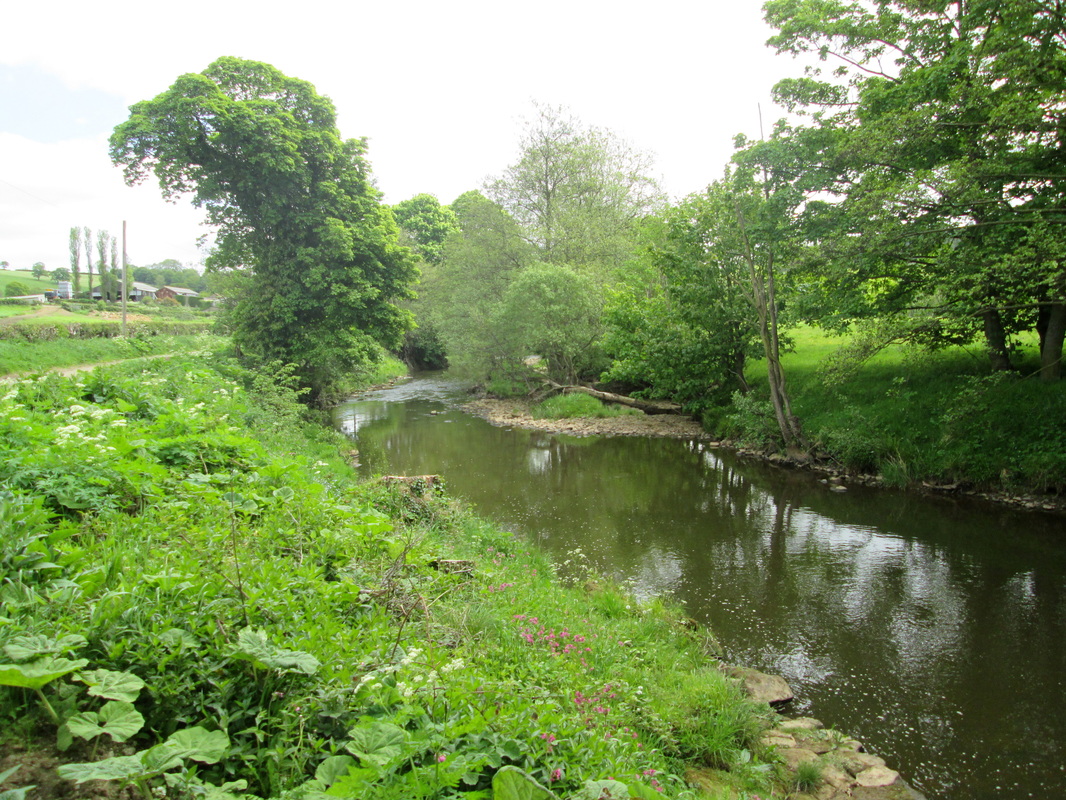
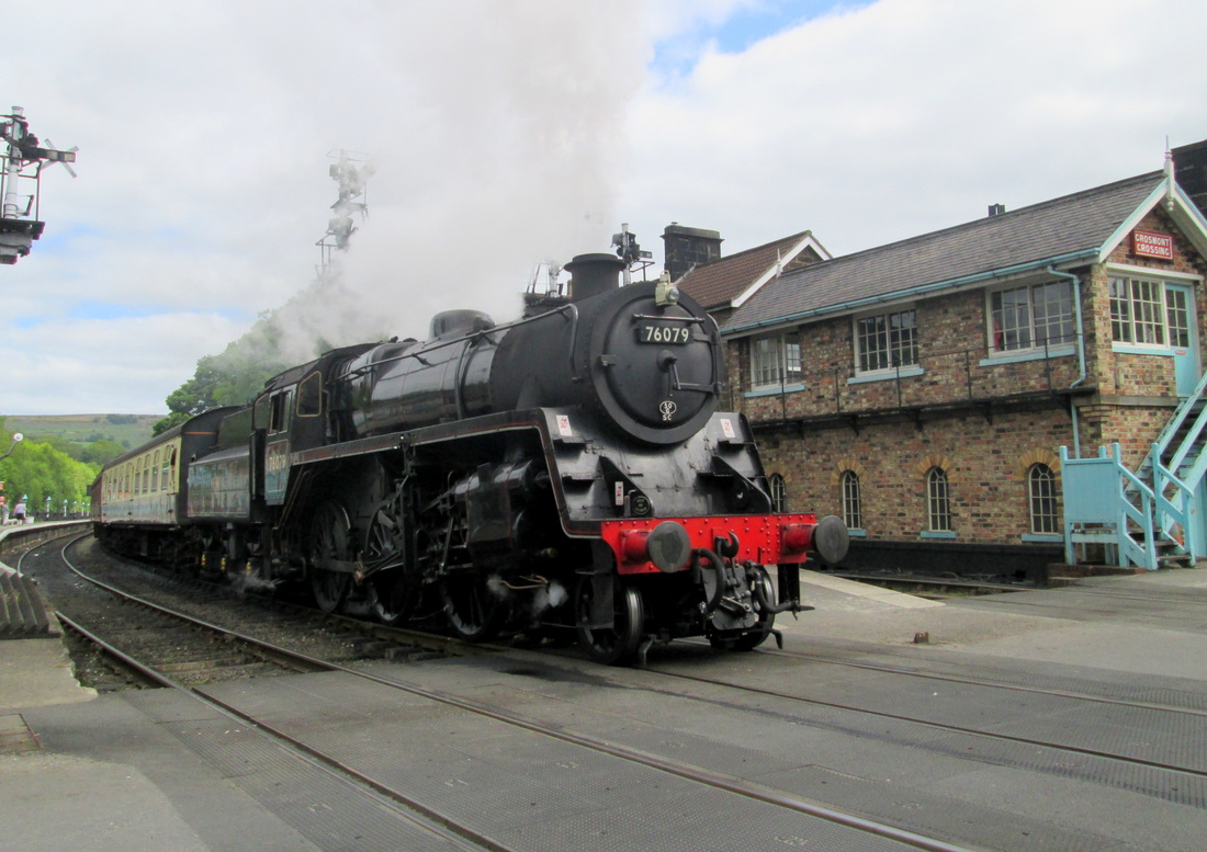
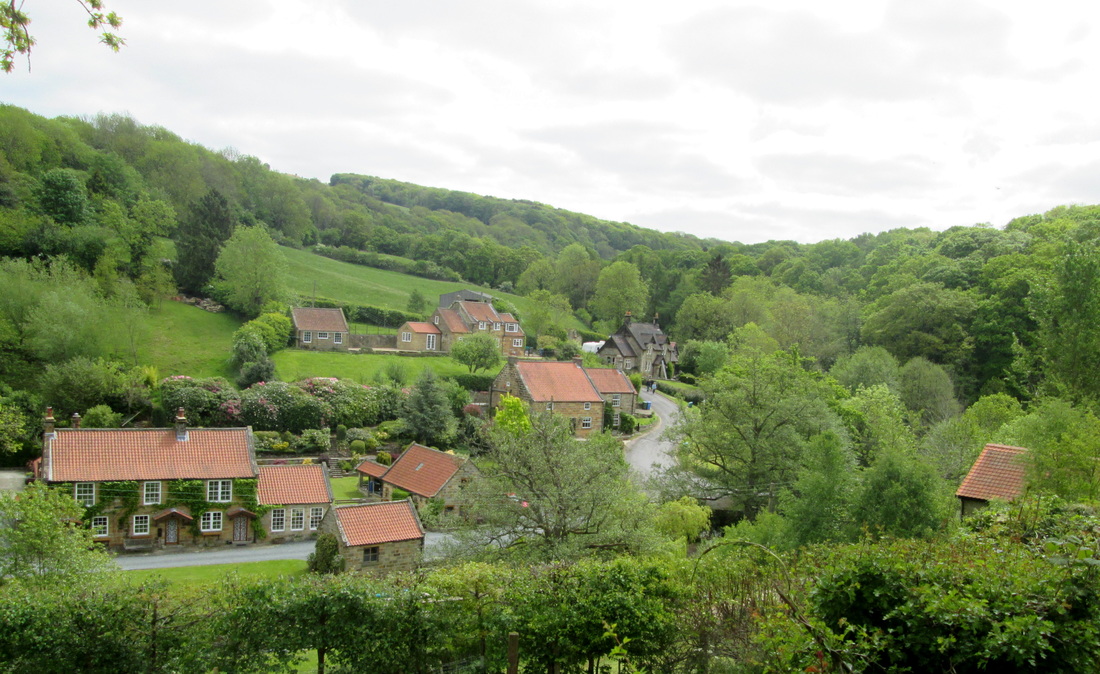
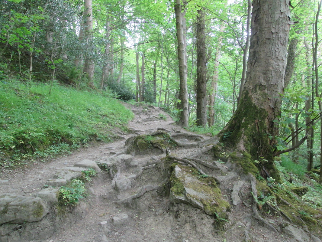
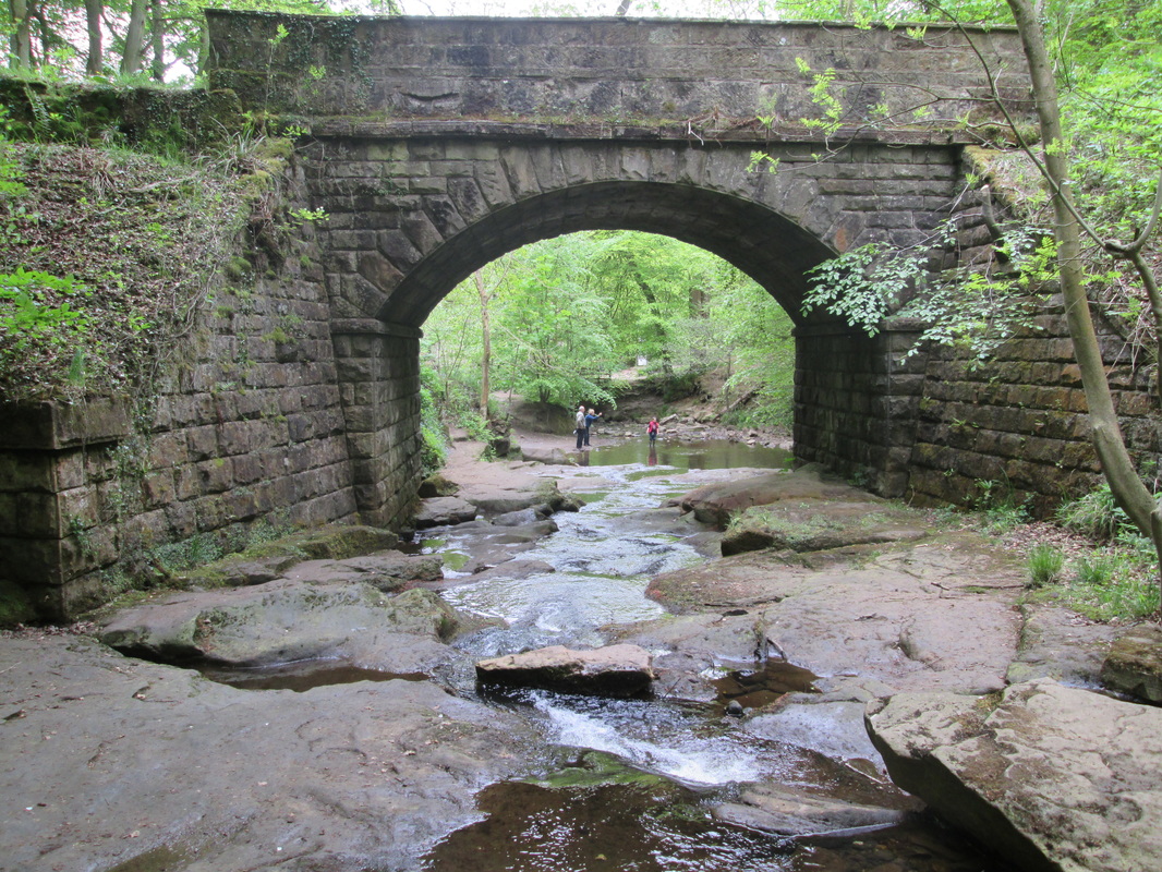
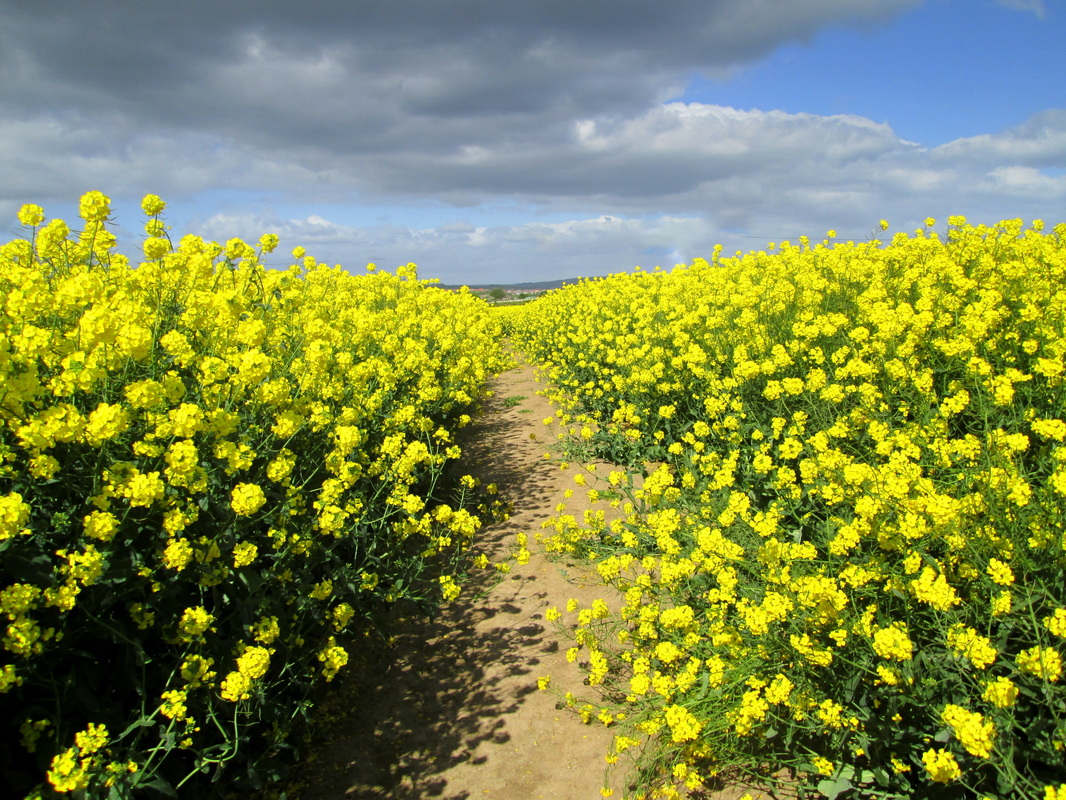
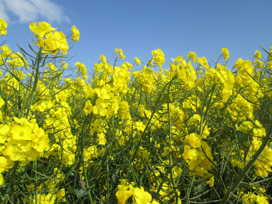
I caught the 0850 from Whitby to Glaisdale with the intention of walking from there to Robin Hoods bay along the route of the last part of Wainwrights Coast to Coast Walk.My first stop of course had to be Beggars Bridge which is just a few yards down the road from the station, I wanted to try and find a different angle to take a photo but failed. All I did was scare a few sheep nearby and got my boots wet in the river. From the bridge I followed the track which was lined with an abundance of wild flowers through Arncliffe Woods. This track follows the route of a paved causeway known locally as the Monks Trod (as are quite a few in the area) and passed quite close to the remains of a mill pond and sluice gate. Once clear of the wood I followed the lane to Egton Bridge where just past the Old Horseshoe Pub you can see two huge pine trees on the left hand side of the road which I was once told are Giant Redwood trees planted around the turn of the last century. My next stop was at Grosmont where I had a piece of apple pie and a coffee at Hazelwood tea rooms. I have stopped here on a number of occasions in the past and found it to be quite good, however on this occasion I am afraid that I was disappointed with the pie. The filling was delicious, but the pastry! Oh dear, I think it must have had a previous life as plaster on the walls of a Roman Villa somewhere.
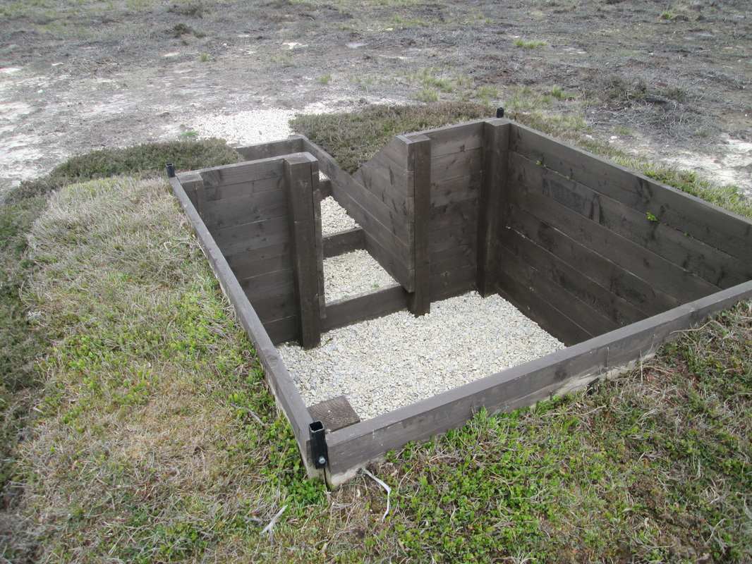
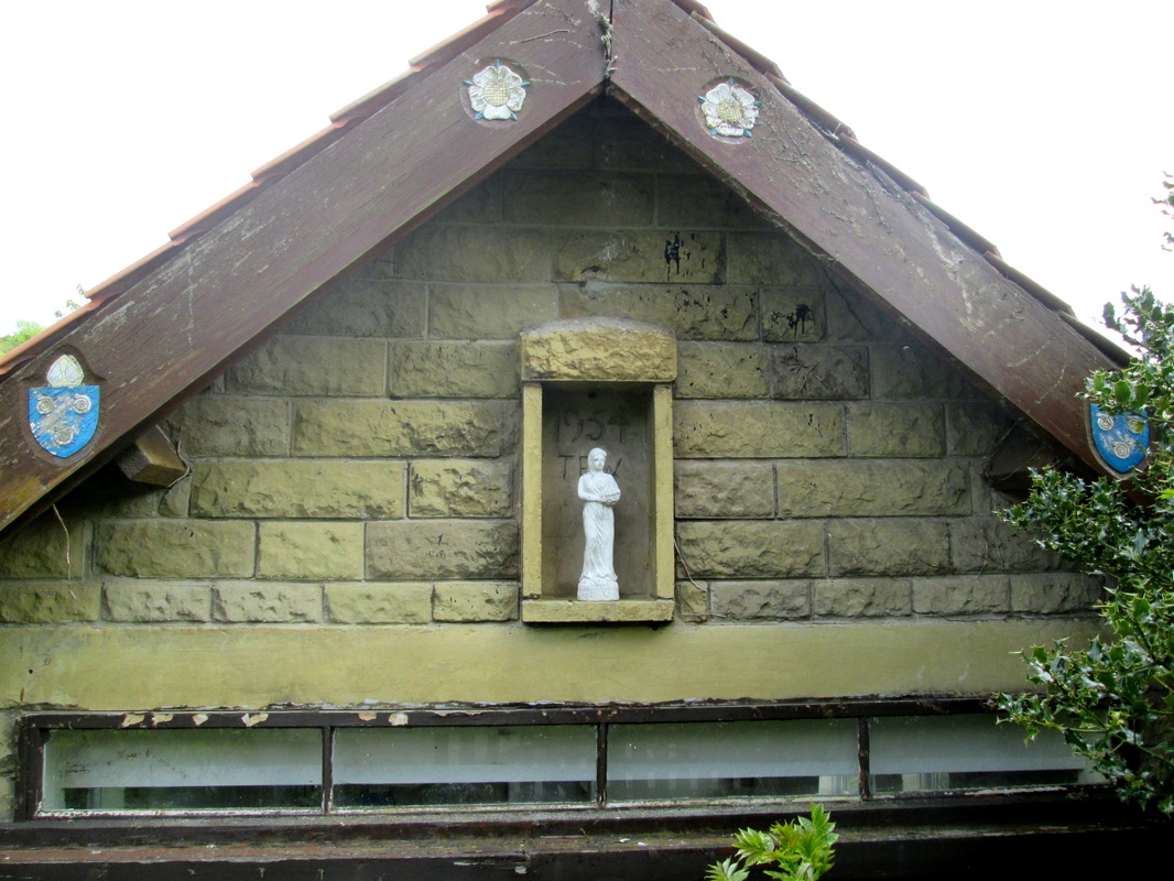
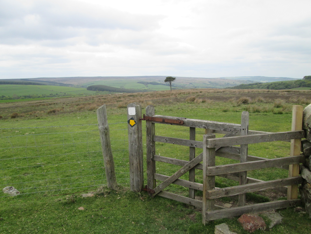
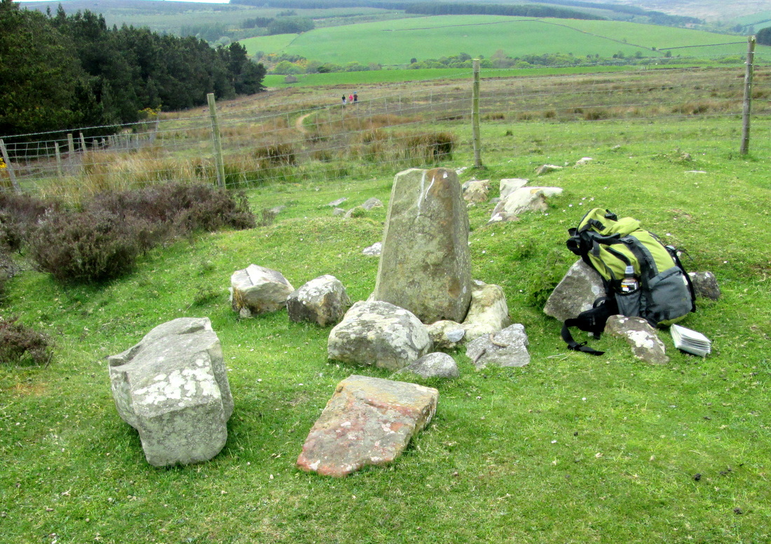
After my break, I had a few minutes mooching around the NYMR station before tackling the long climb up Fair Head Lane to Black Brow Moor. I had intended to visit the High, and Low Bridestones as I passed but decided to leave them for another day, instead I made a short detour to Flat How and the OS Trigpoint before making my way to the A164 and crossing over to begin the descent into the village of Littlebeck where I sat down to enjoy my picnic lunch. I fell into conversation with a small group who were trying to find a pub and they were not very happy when I told them it was at Sleights, about 2 miles away.
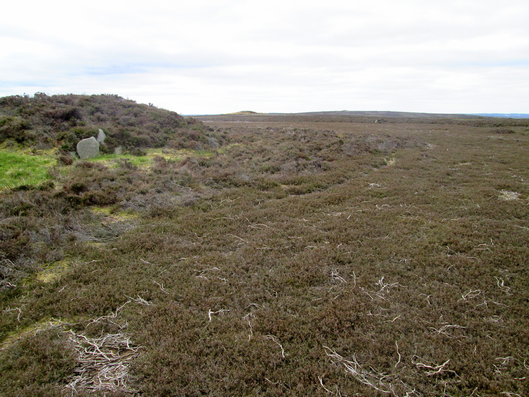
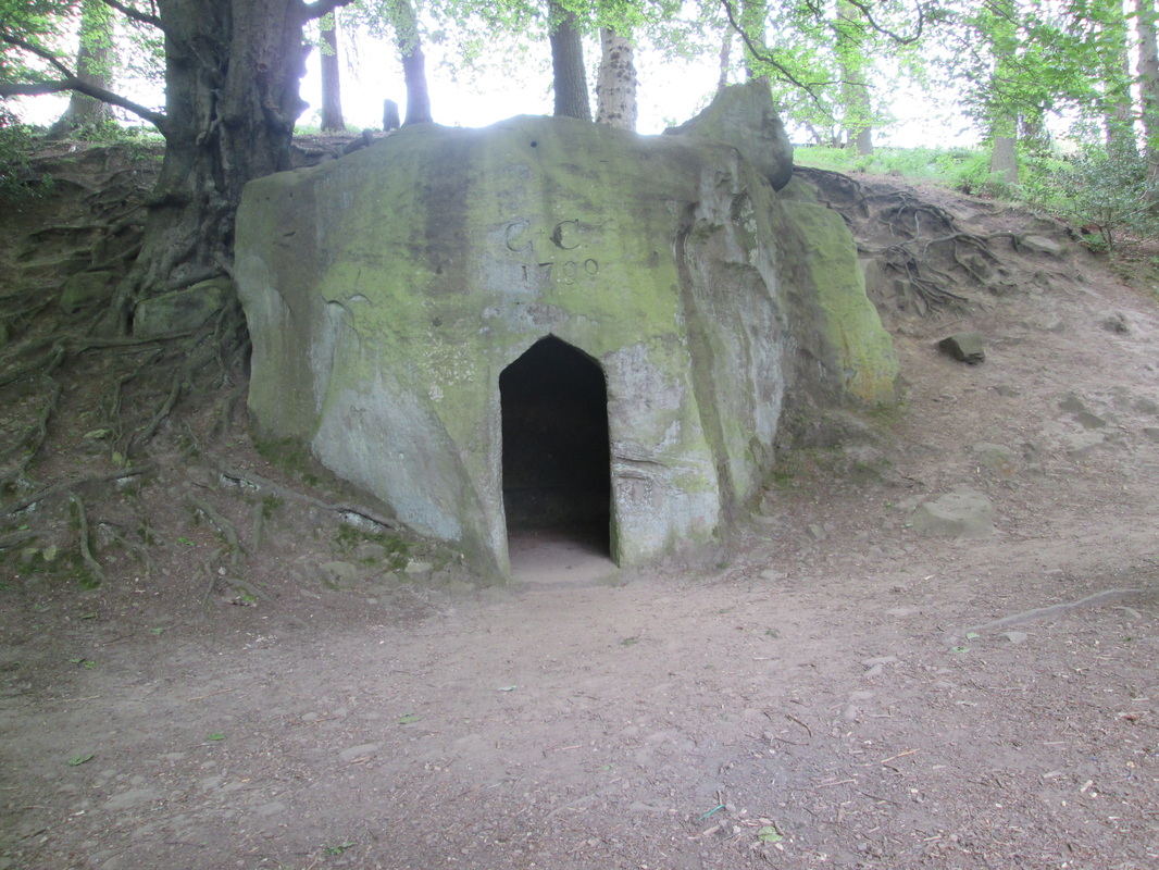
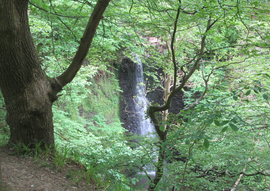
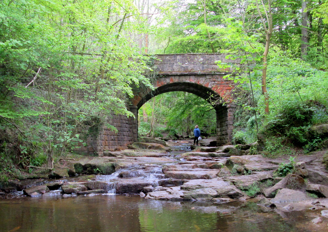
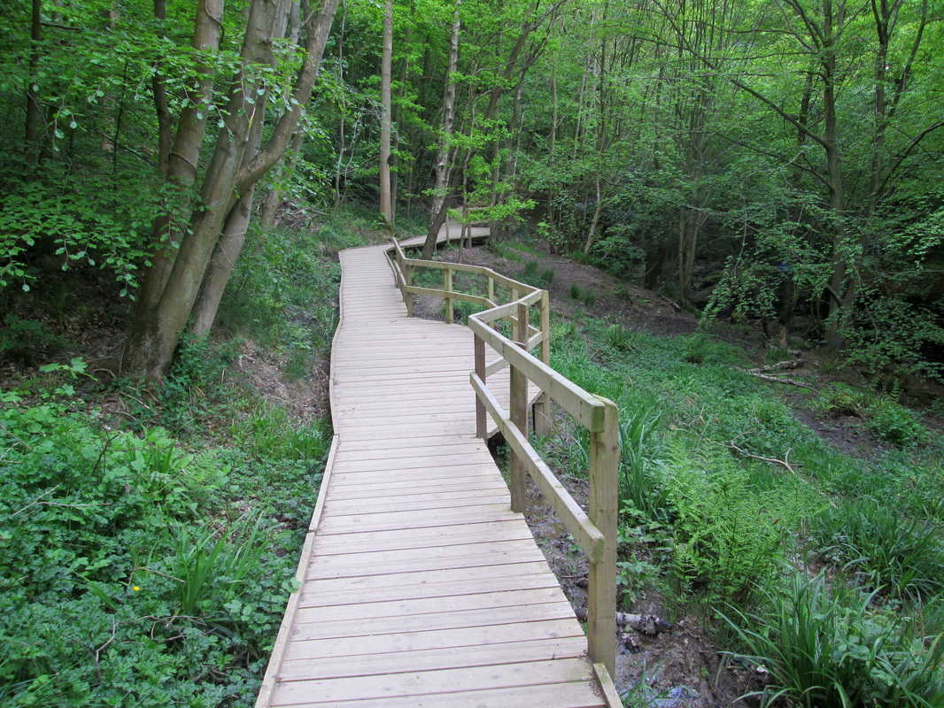
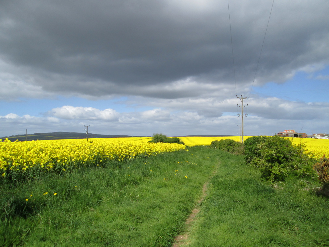
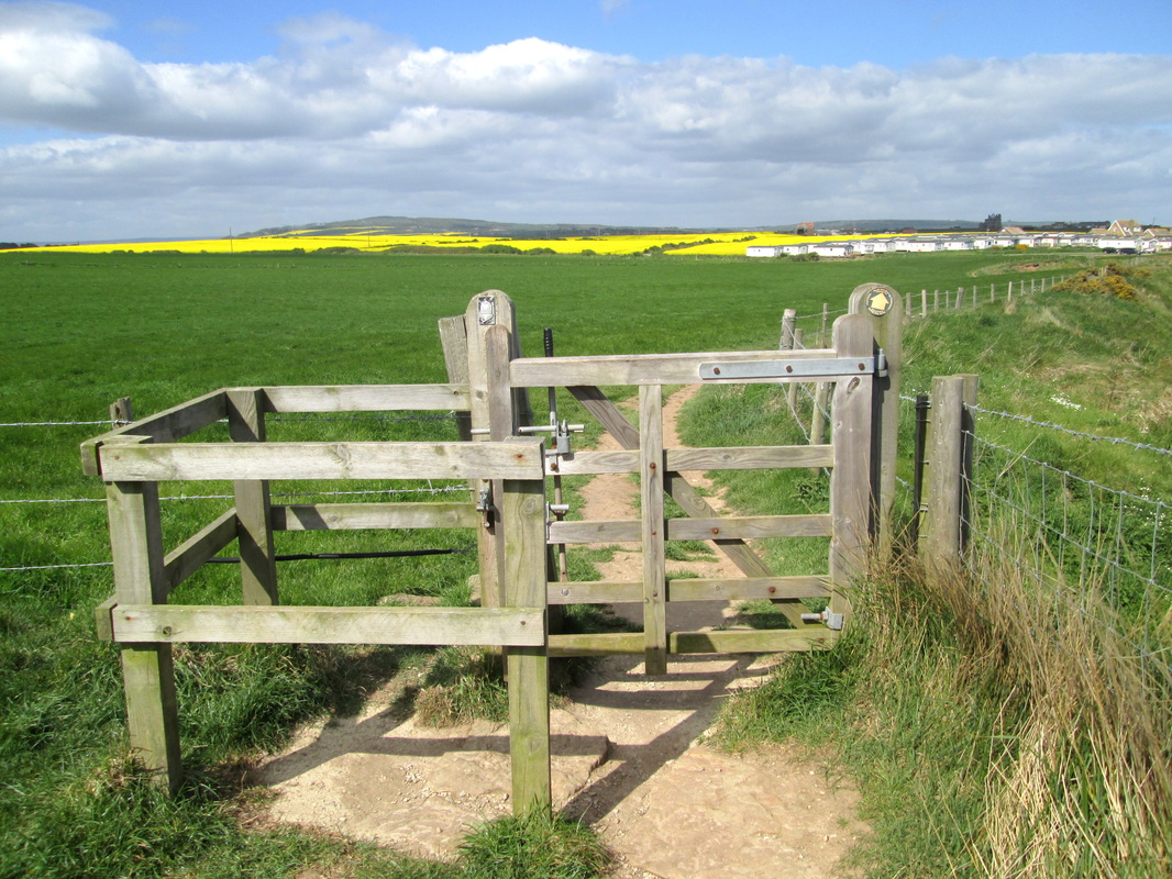
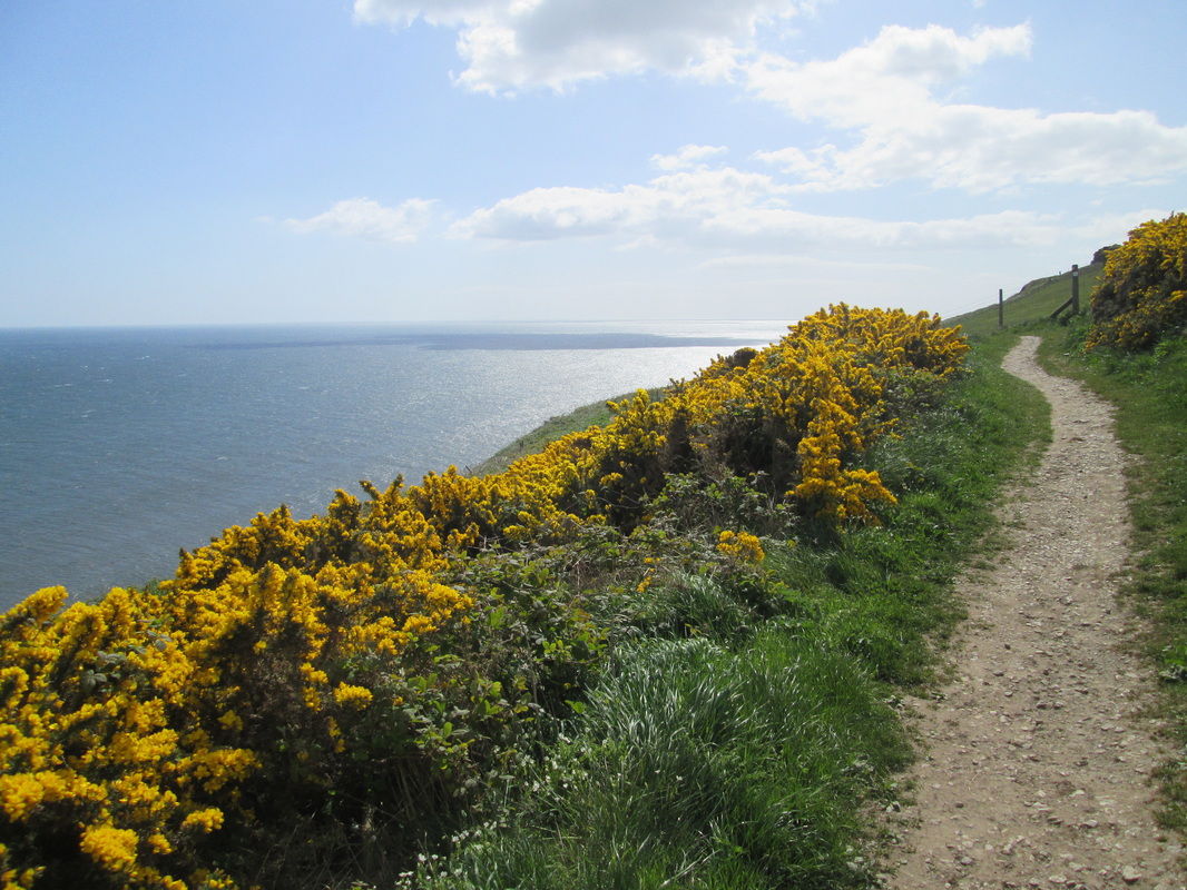
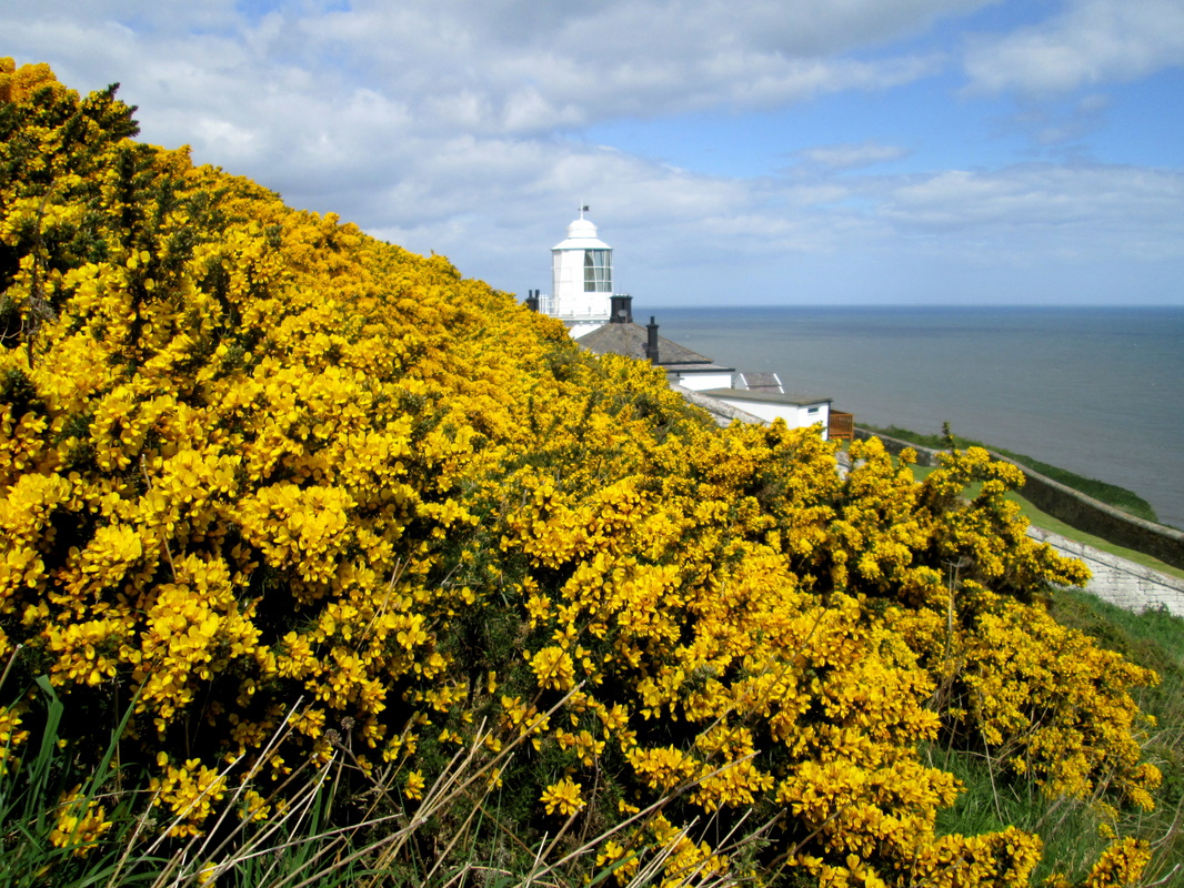
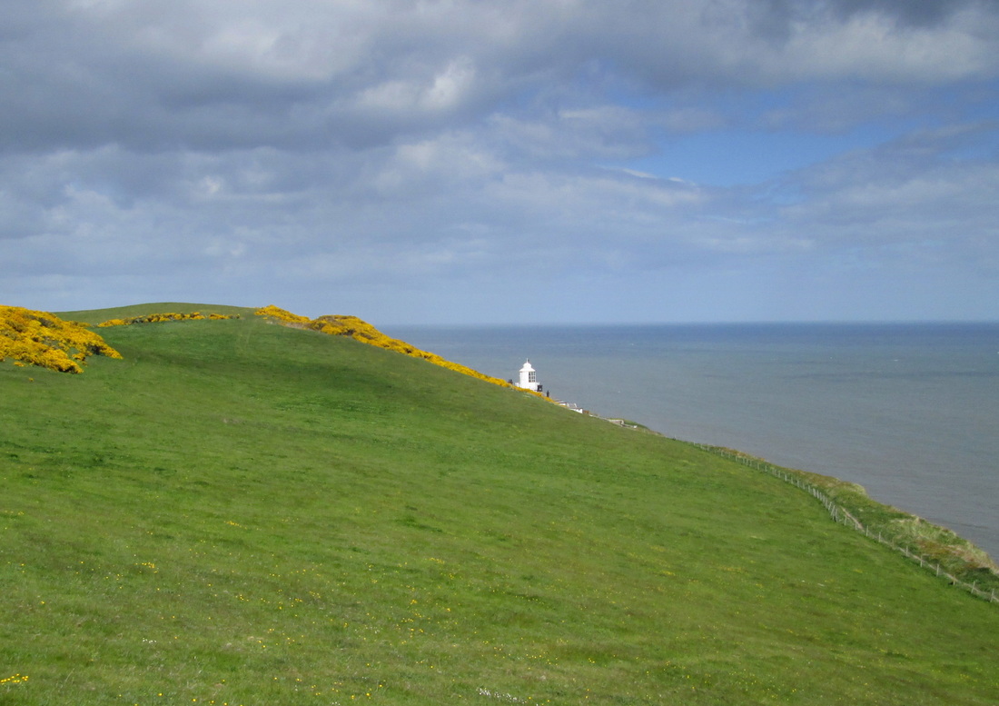
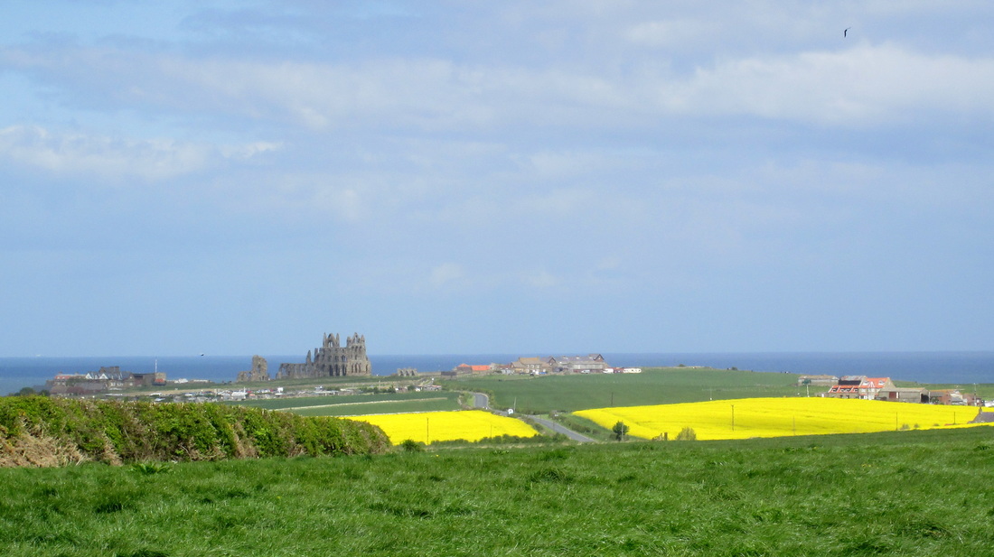
The Next stage of my walk was through May becks woods which surprisingly I found to be the most difficult part of the walk. This was partly due to the uneven surface and partly to the number of families out for the day. They all seemed to be going in the same direction as me but at a much slower pace, and all seemed to be in competition with each other to see whose children could make the most noise so it was with some relief that I left it all behind me and began the climb up to John Cross. At John Cross I met a family who were totally lost, fortunately, although May Beck car park was not visible, the pathway was so I could safely point them in the right direction before continuing on my way. After crossing the B1416, I had the last stretch of Moorland in front of me but this was soon crossed and then it was easy walking along lanes until I reached the coast at Northcliffe Caravan Park. When I started the walk the weather was warm and sunny, but as the day progressed it became overcast and cool. When I reached the cliff path, it started to rain so it was necessary to wear waterproofs. for the last couple of miles or so.
I thought that I was going to miss the bus back to Whitby but fortunately for me it was about 10 minutes late. When I checked later, I found that I had walked just over 20 miles and climbed over 3000 ft. in what had been a most enjoyable walk.
Climbing 3117 ft
Difficulty Hard
Weather Sunny at first , becoming cloudy with rain later.
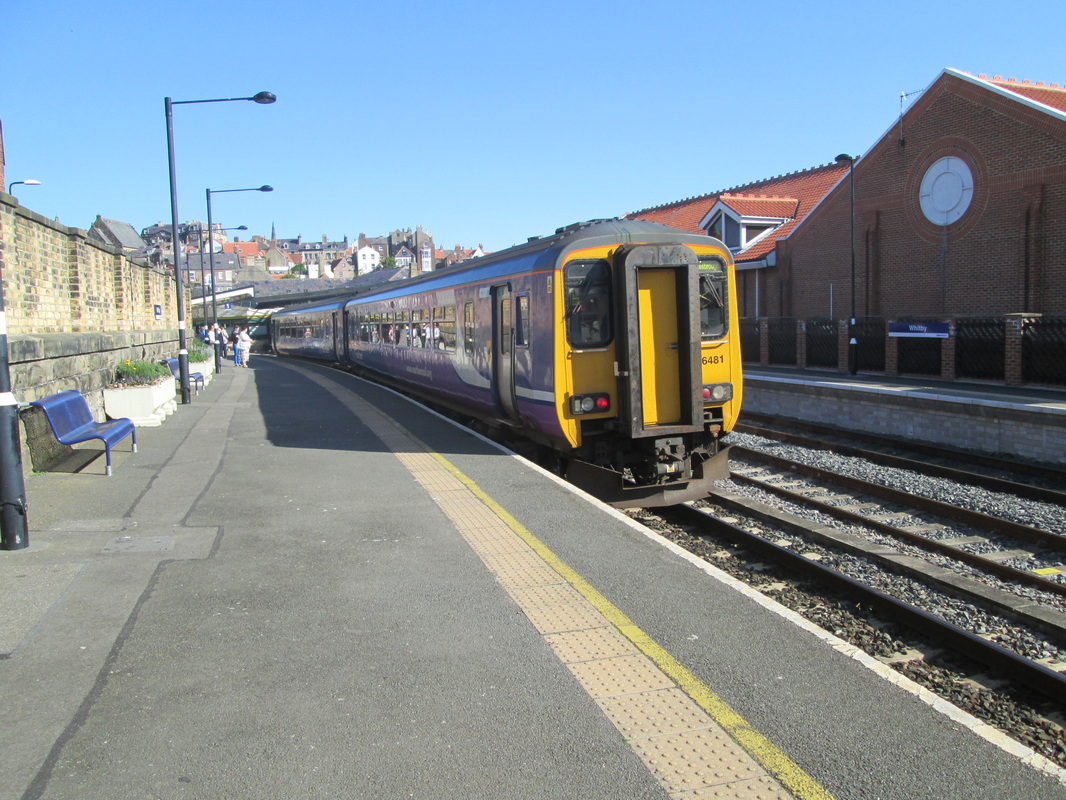
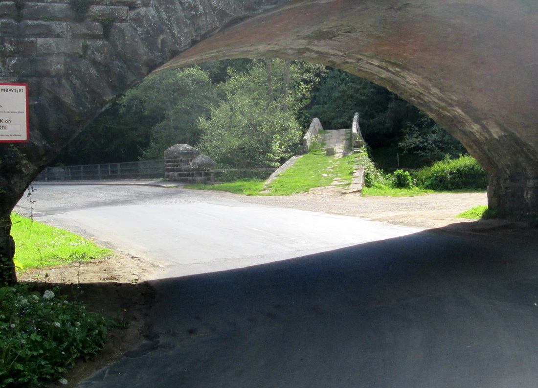
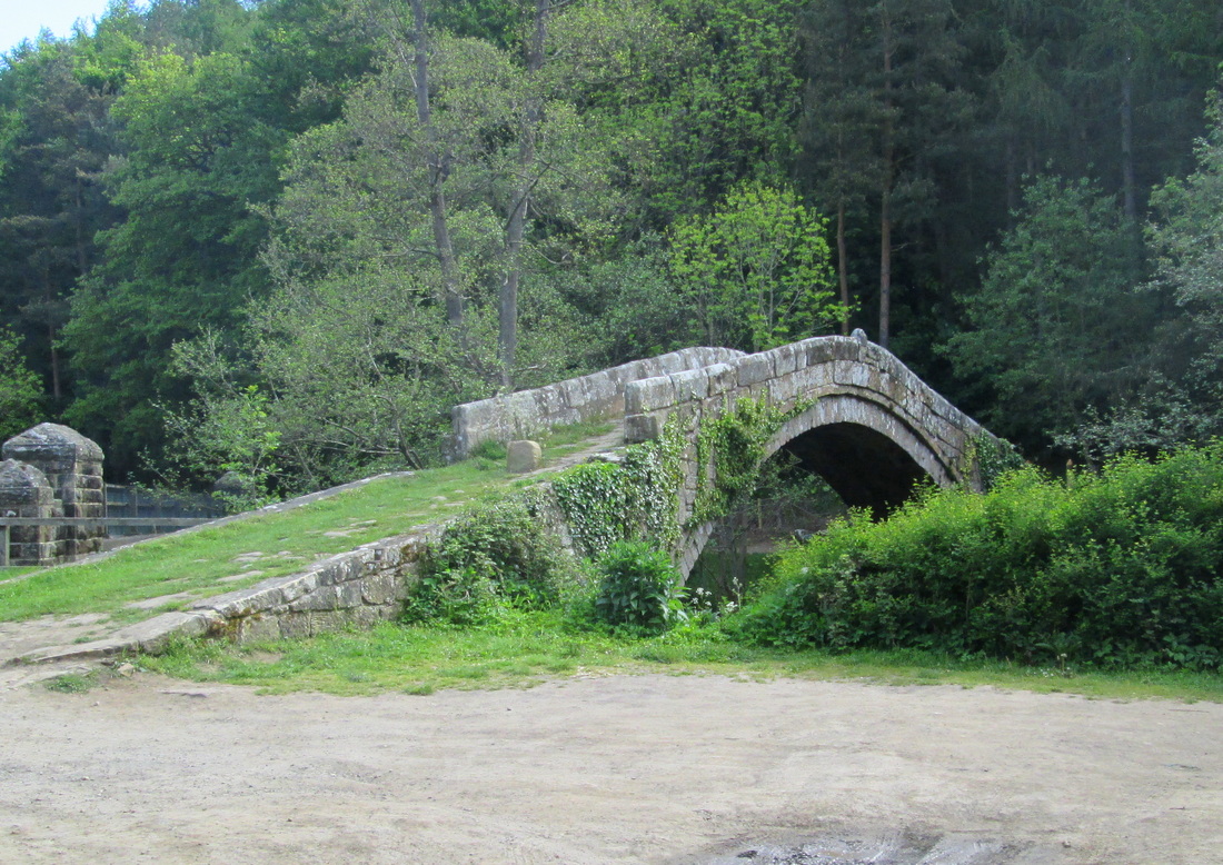
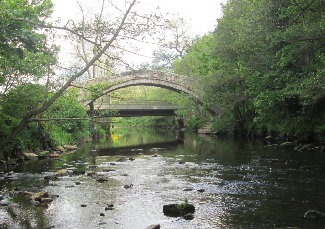
I caught the 0850 from Whitby to Glaisdale with the intention of walking from there to Robin Hoods bay along the route of the last part of Wainwrights Coast to Coast Walk.My first stop of course had to be Beggars Bridge which is just a few yards down the road from the station, I wanted to try and find a different angle to take a photo but failed. All I did was scare a few sheep nearby and got my boots wet in the river. From the bridge I followed the track which was lined with an abundance of wild flowers through Arncliffe Woods. This track follows the route of a paved causeway known locally as the Monks Trod (as are quite a few in the area) and passed quite close to the remains of a mill pond and sluice gate. Once clear of the wood I followed the lane to Egton Bridge where just past the Old Horseshoe Pub you can see two huge pine trees on the left hand side of the road which I was once told are Giant Redwood trees planted around the turn of the last century. My next stop was at Grosmont where I had a piece of apple pie and a coffee at Hazelwood tea rooms. I have stopped here on a number of occasions in the past and found it to be quite good, however on this occasion I am afraid that I was disappointed with the pie. The filling was delicious, but the pastry! Oh dear, I think it must have had a previous life as plaster on the walls of a Roman Villa somewhere.
After my break, I had a few minutes mooching around the NYMR station before tackling the long climb up Fair Head Lane to Black Brow Moor. I had intended to visit the High, and Low Bridestones as I passed but decided to leave them for another day, instead I made a short detour to Flat How and the OS Trigpoint before making my way to the A164 and crossing over to begin the descent into the village of Littlebeck where I sat down to enjoy my picnic lunch. I fell into conversation with a small group who were trying to find a pub and they were not very happy when I told them it was at Sleights, about 2 miles away.
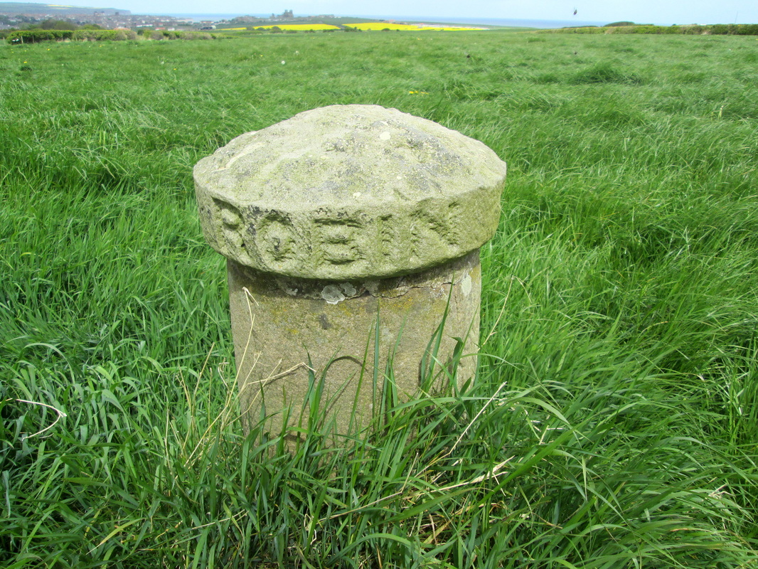
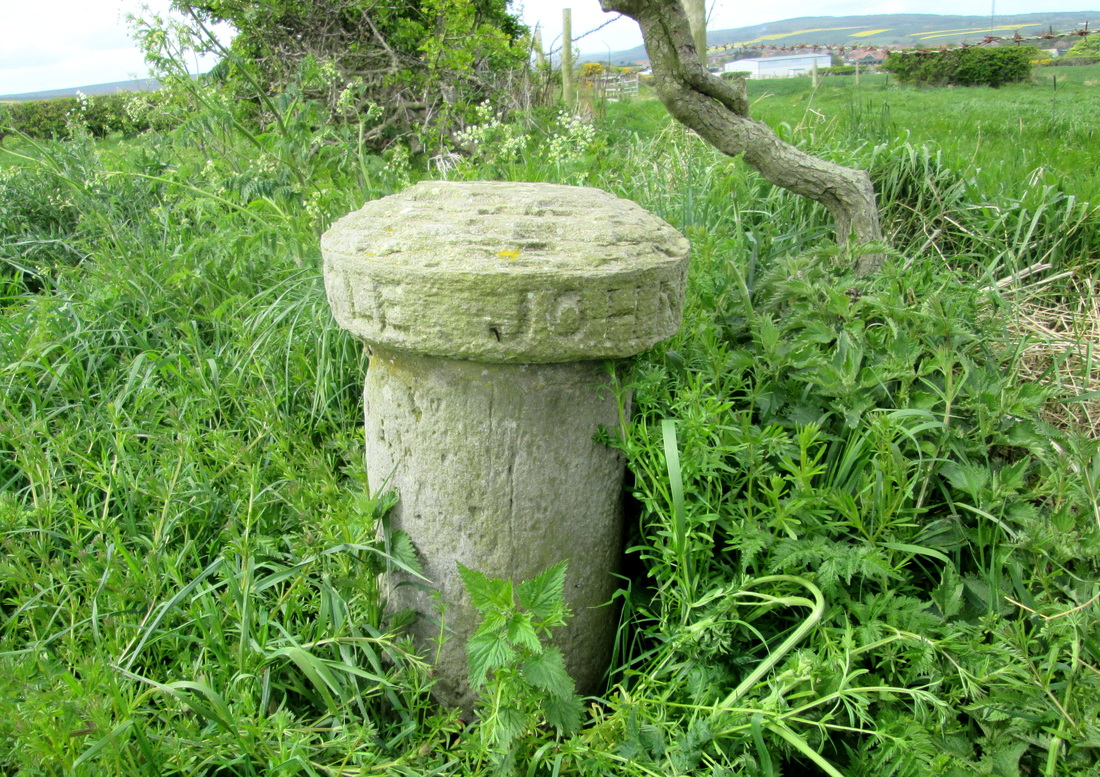
The Next stage of my walk was through May becks woods which surprisingly I found to be the most difficult part of the walk. This was partly due to the uneven surface and partly to the number of families out for the day. They all seemed to be going in the same direction as me but at a much slower pace, and all seemed to be in competition with each other to see whose children could make the most noise so it was with some relief that I left it all behind me and began the climb up to John Cross. At John Cross I met a family who were totally lost, fortunately, although May Beck car park was not visible, the pathway was so I could safely point them in the right direction before continuing on my way. After crossing the B1416, I had the last stretch of Moorland in front of me but this was soon crossed and then it was easy walking along lanes until I reached the coast at Northcliffe Caravan Park. When I started the walk the weather was warm and sunny, but as the day progressed it became overcast and cool. When I reached the cliff path, it started to rain so it was necessary to wear waterproofs. for the last couple of miles or so.
I thought that I was going to miss the bus back to Whitby but fortunately for me it was about 10 minutes late. When I checked later, I found that I had walked just over 20 miles and climbed over 3000 ft. in what had been a most enjoyable walk.


 RSS Feed
