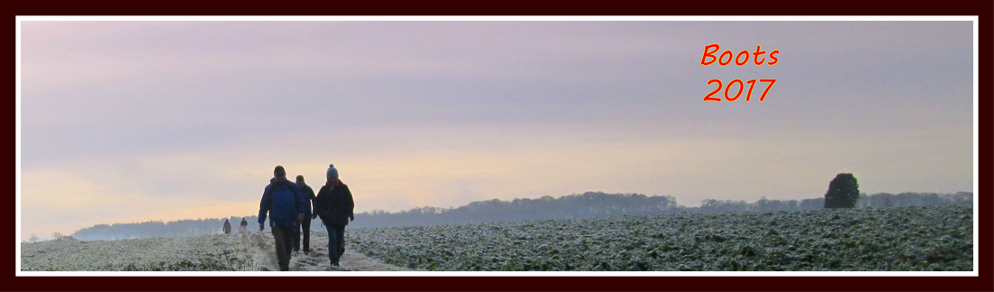
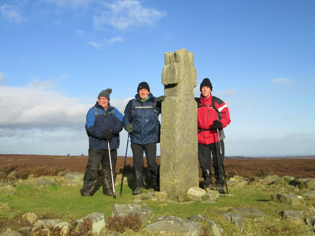
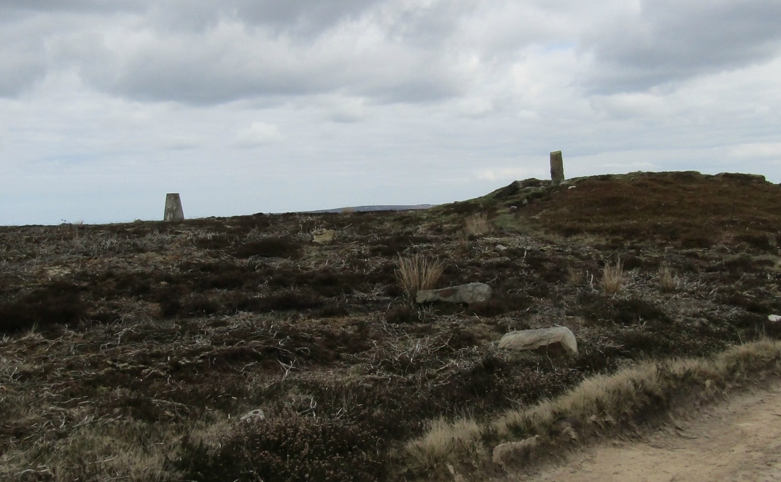
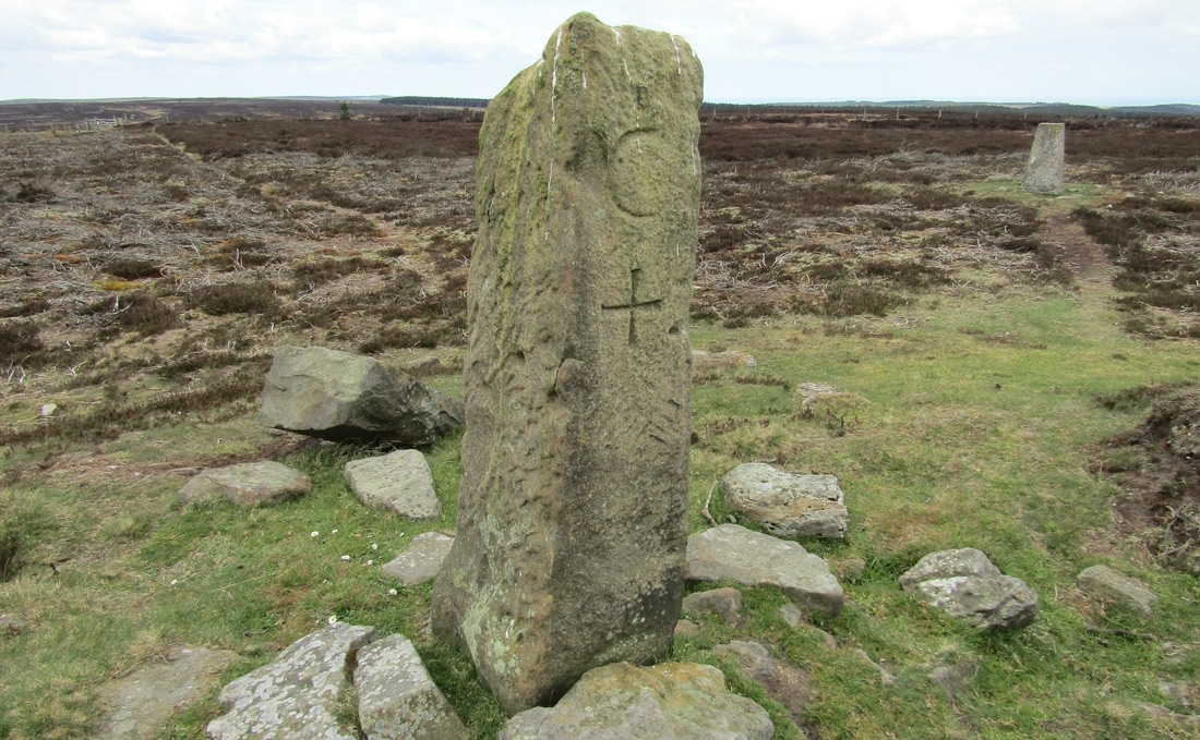
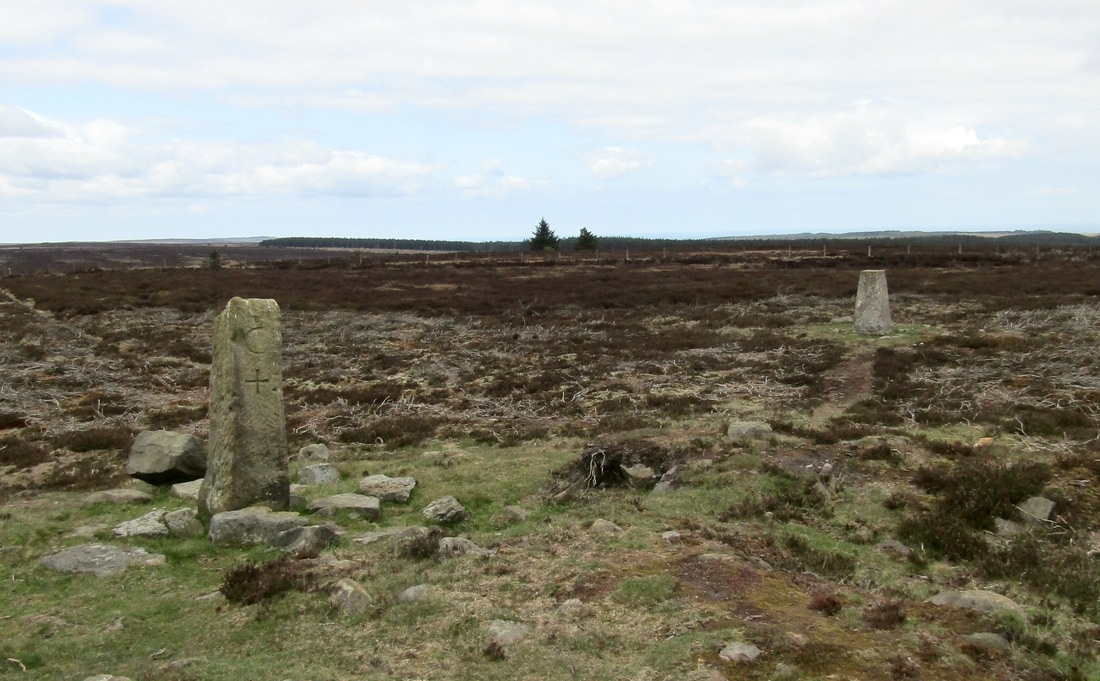
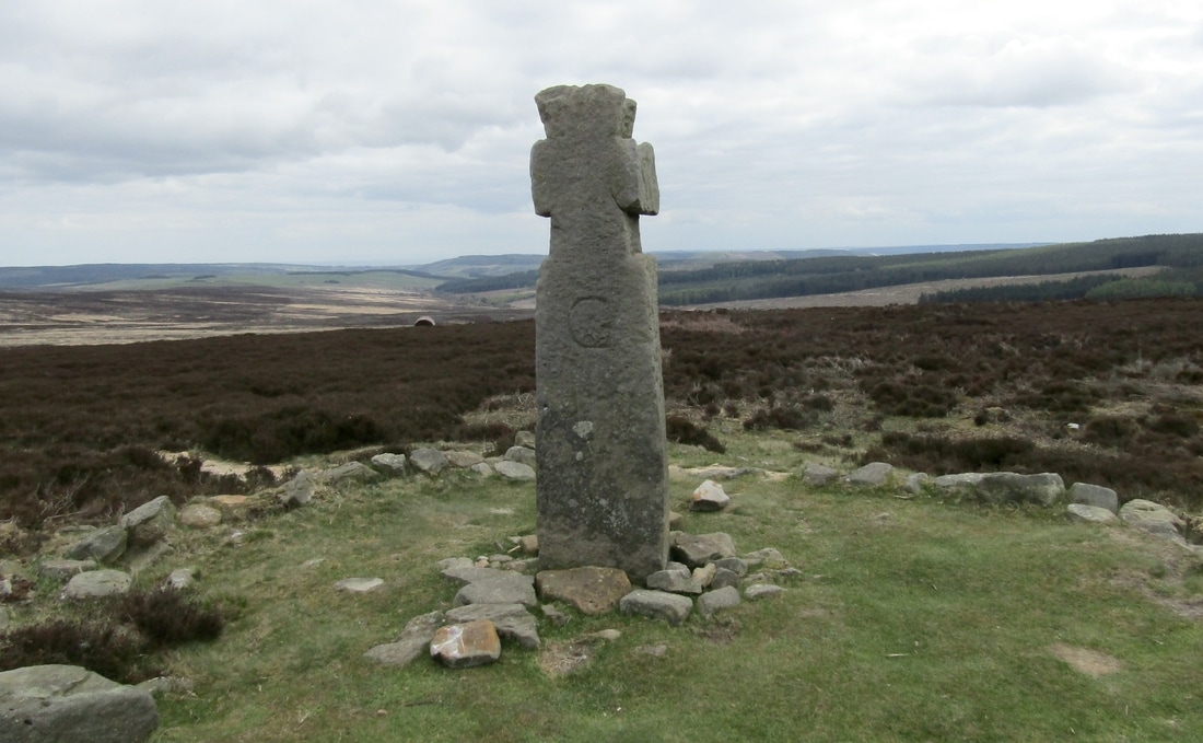
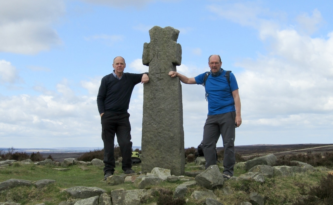
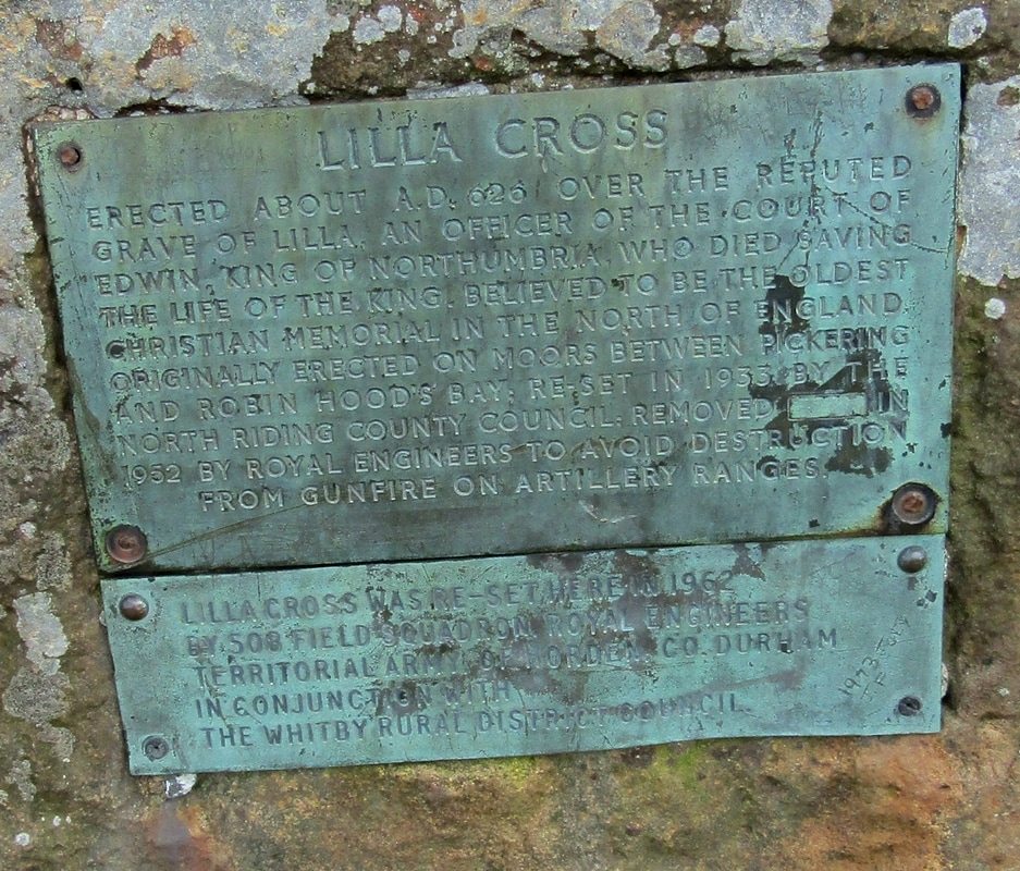
Lilla Cross 23/11/17
Distance 9.6 miles
Total Ascent 934 ft
Weather Fresh with a couple of showers later
Difficulty Easy at first but more challenging later
Total Ascent 934 ft
Weather Fresh with a couple of showers later
Difficulty Easy at first but more challenging later
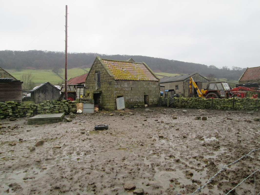
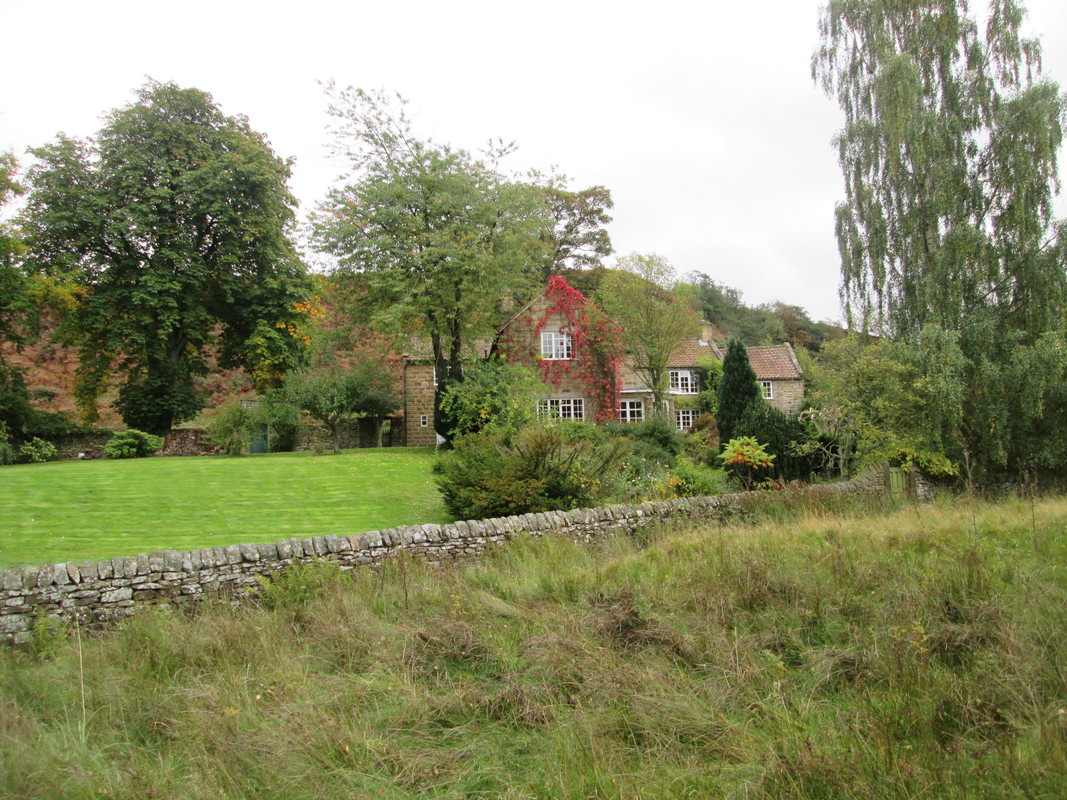
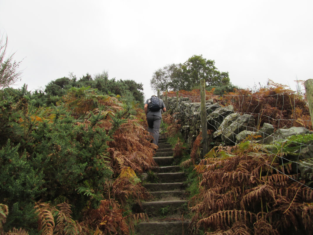
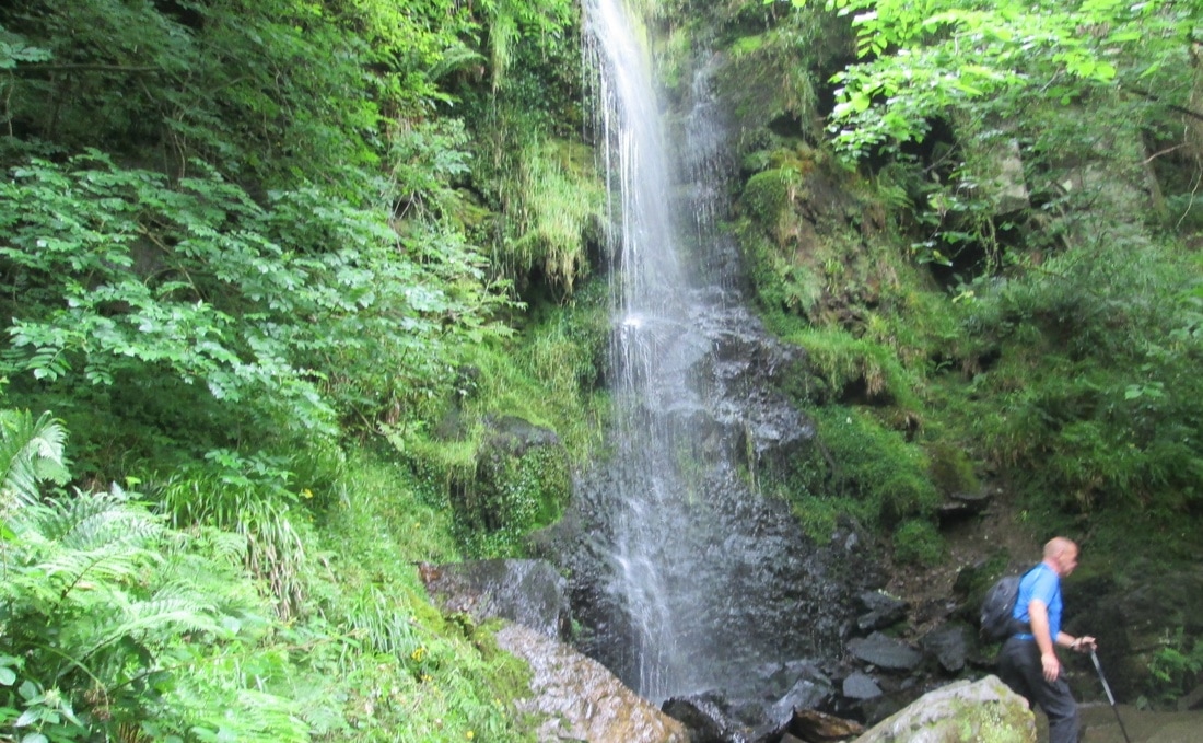
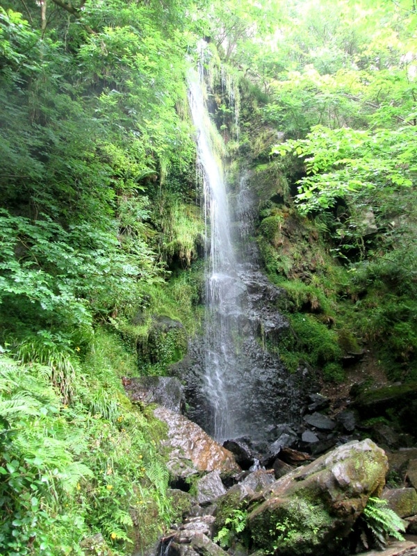
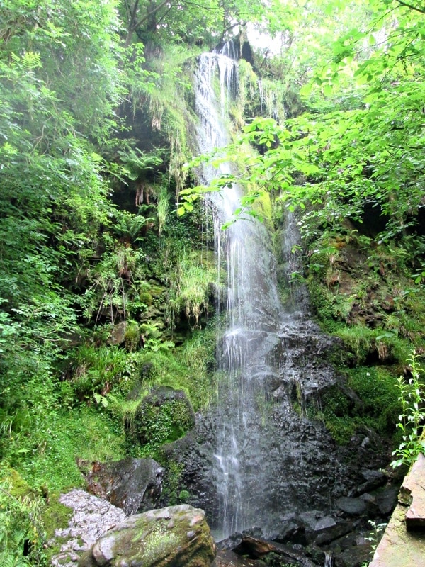
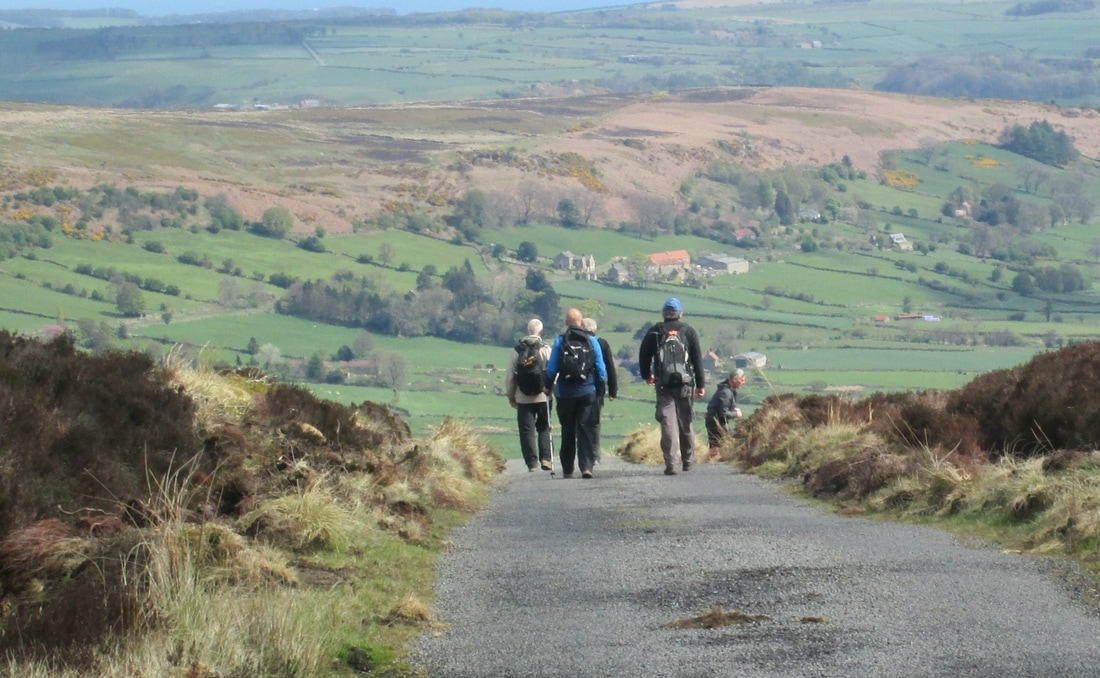
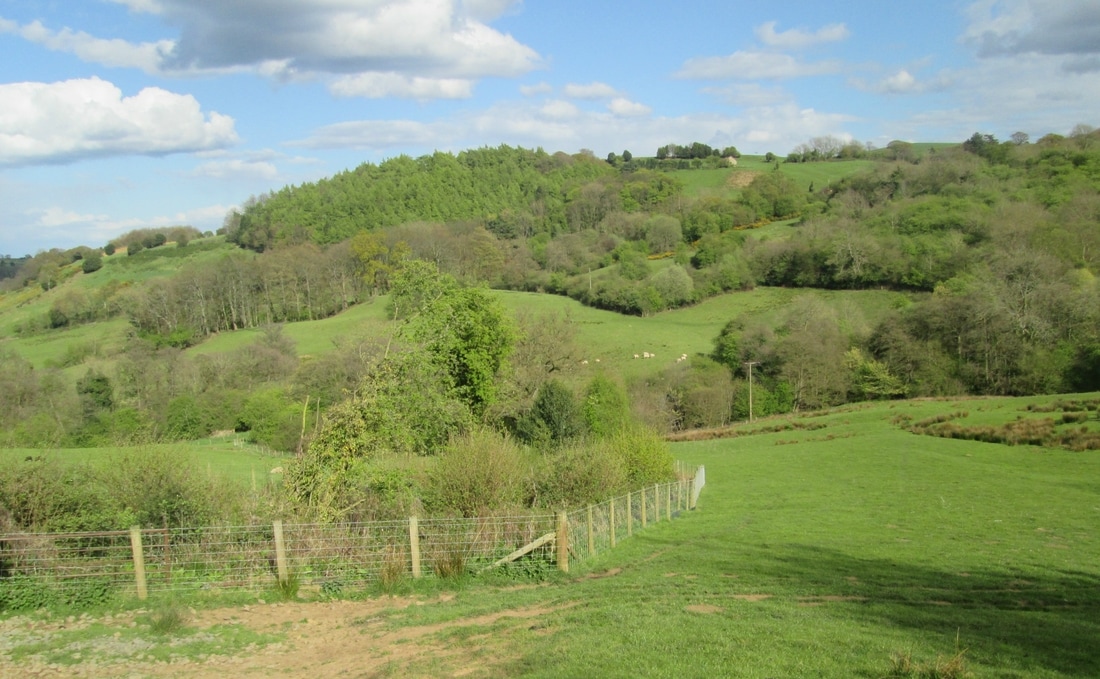
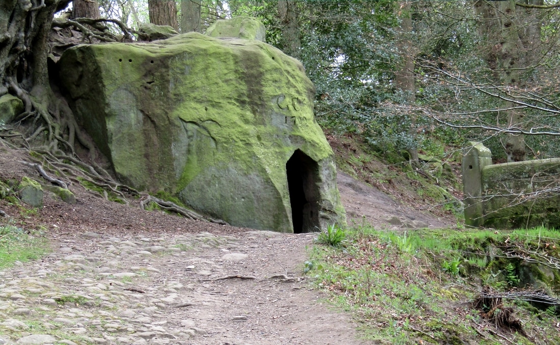
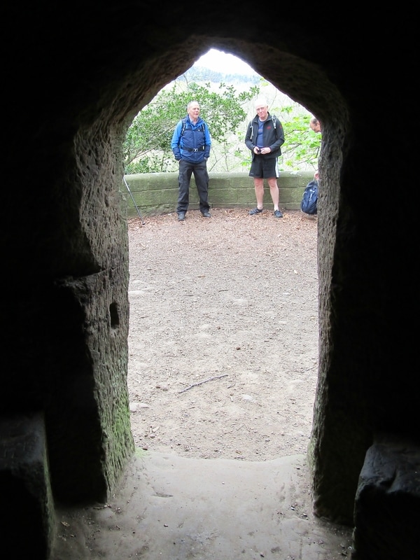
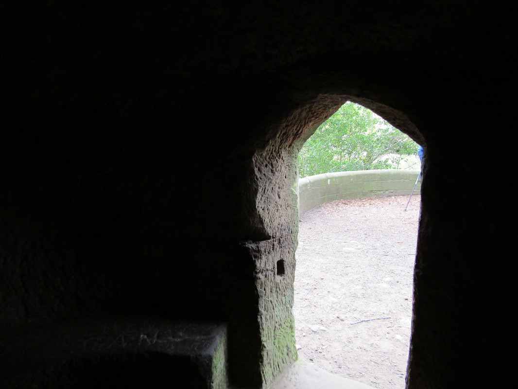
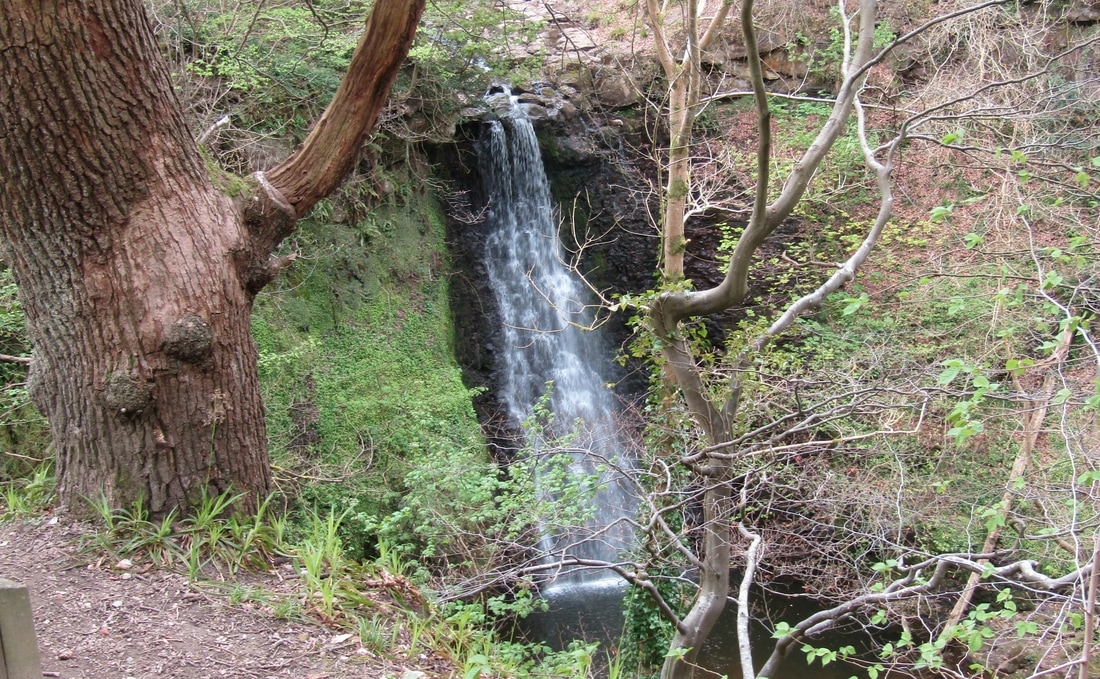
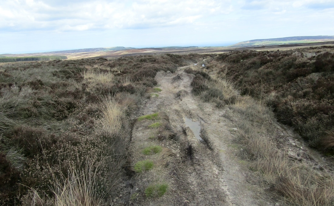
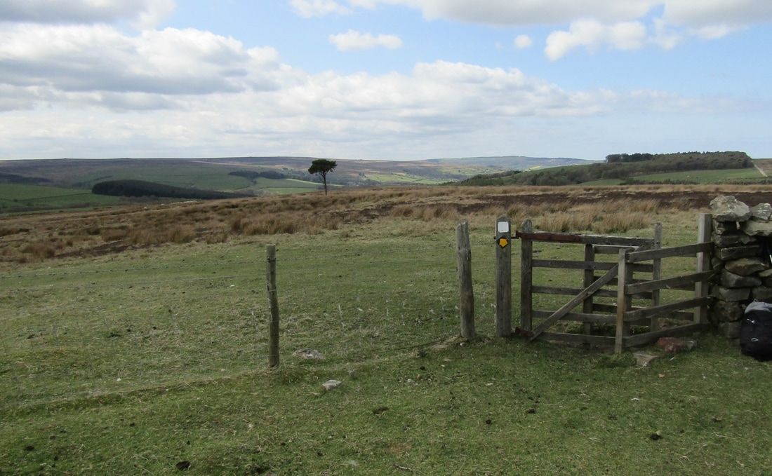
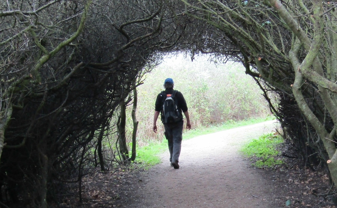
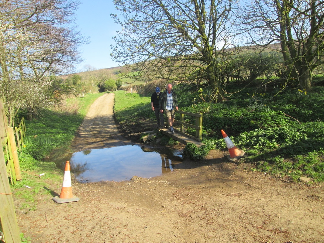
After parking Adrian's Car at Red Gates we followed Foss Lane down to Midge Hall, catching a glimpse of of Falling Foss in full flood through the trees. From there we turned South through the woods towards Old May Beck. We had expected to encounter wet conditions underfoot after the rain of the last few days, but it was not too bad. From Old May Beck it was easy walking along the forestry tracks but it gradually got colder as we gained height and left the trees behind. After a photo stop at Lilla Cross we decided to return by way of the Old Robin Hoods Bay Road along Cock Lake Side, a misleading name if ever there was one, because there is no lake or.........well, you know what I mean. Lunch was taken in the shelter of some trees not far from John Bonds Sheep house before making our way through the woods down to Blea Hill Beck. This was a little awkward at first because several large trees had fallen and were blocking our way, and then when we reached the beck we found that most of the bridges had been damaged by floodwater and since the path crossed and recrossed the beck several times this made things a little difficult for us. The last couple of miles back to Adrian's car were along the lane to Redgates which gave us a little time to get the mu of our boots.
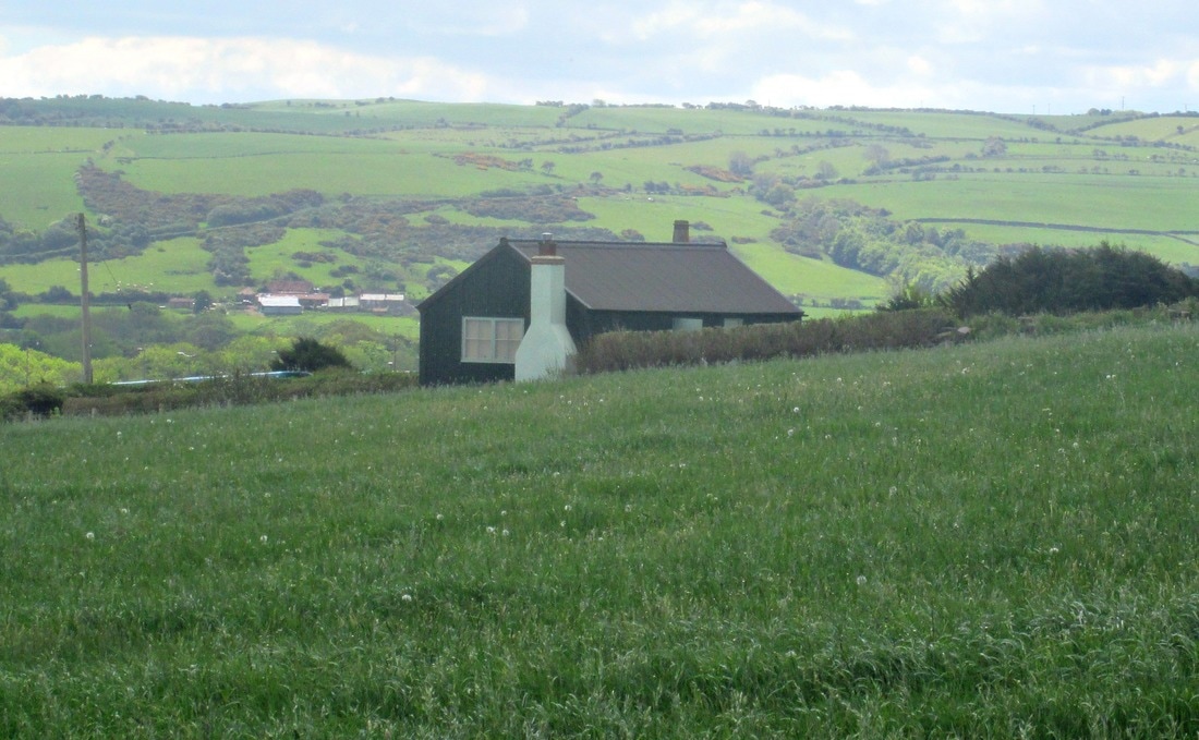
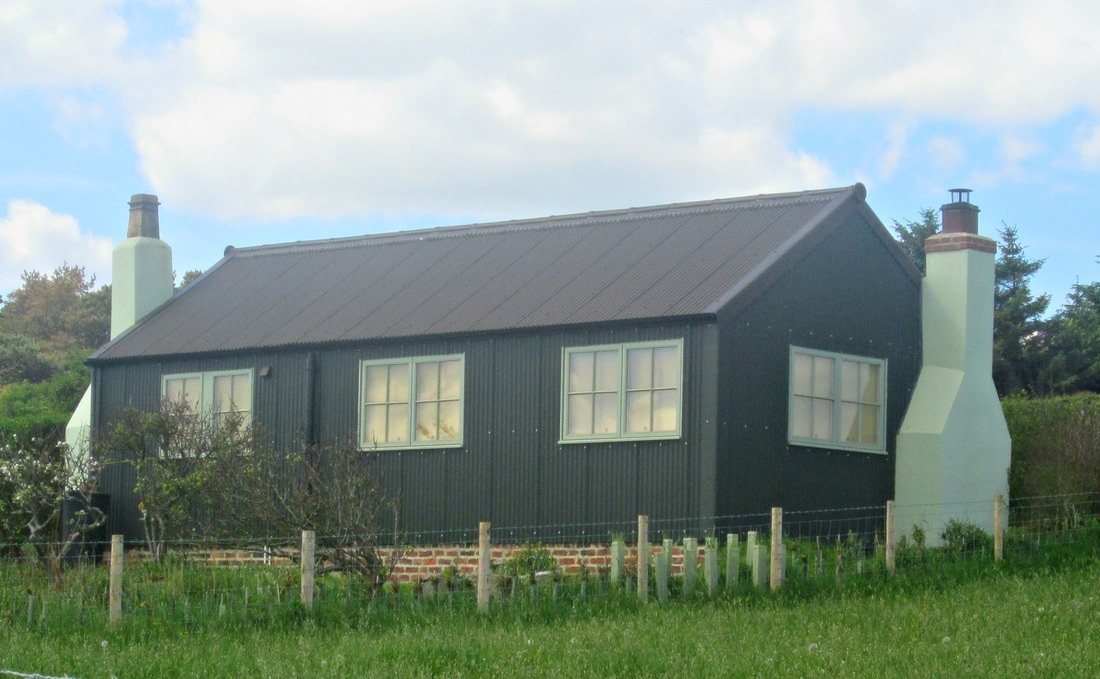
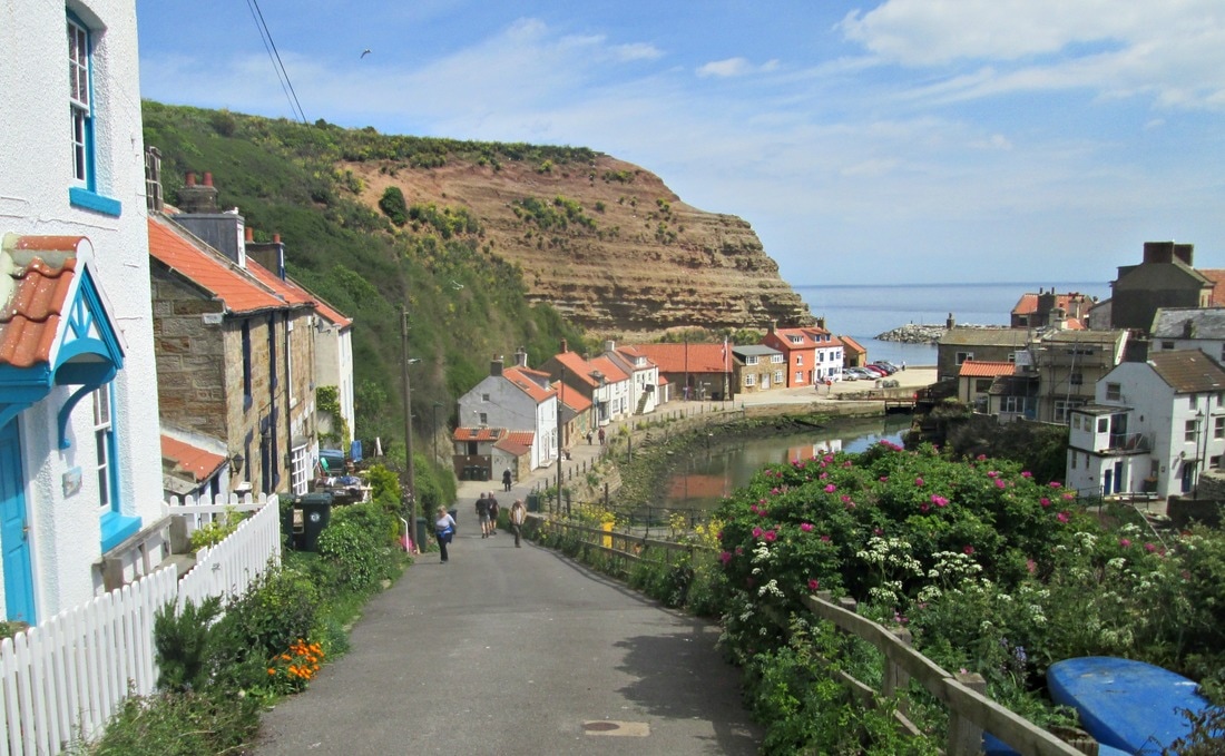
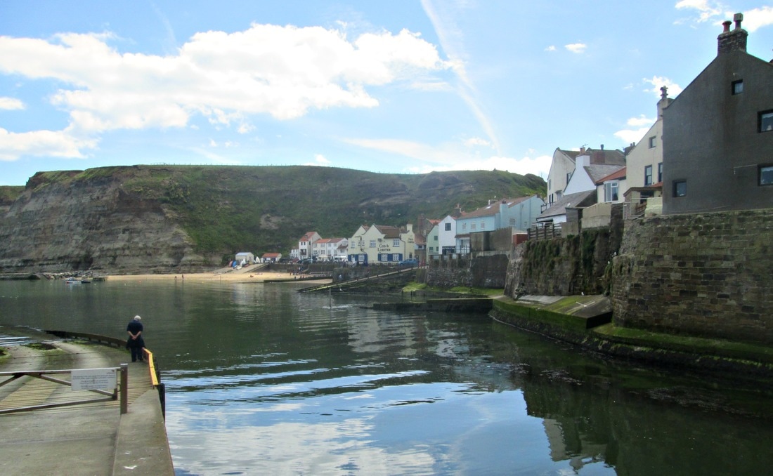
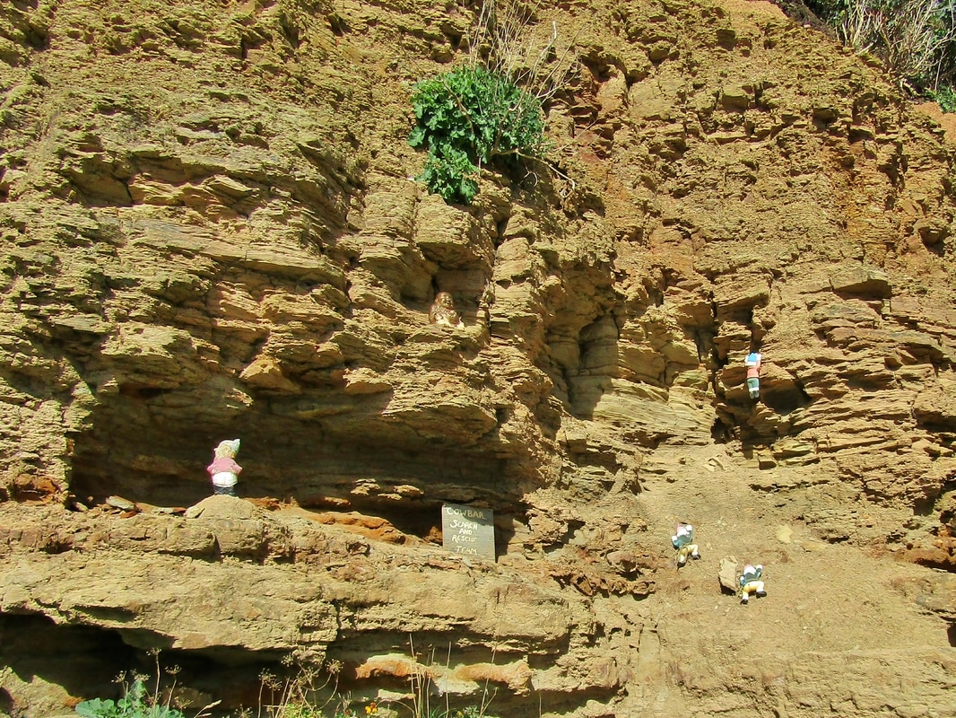
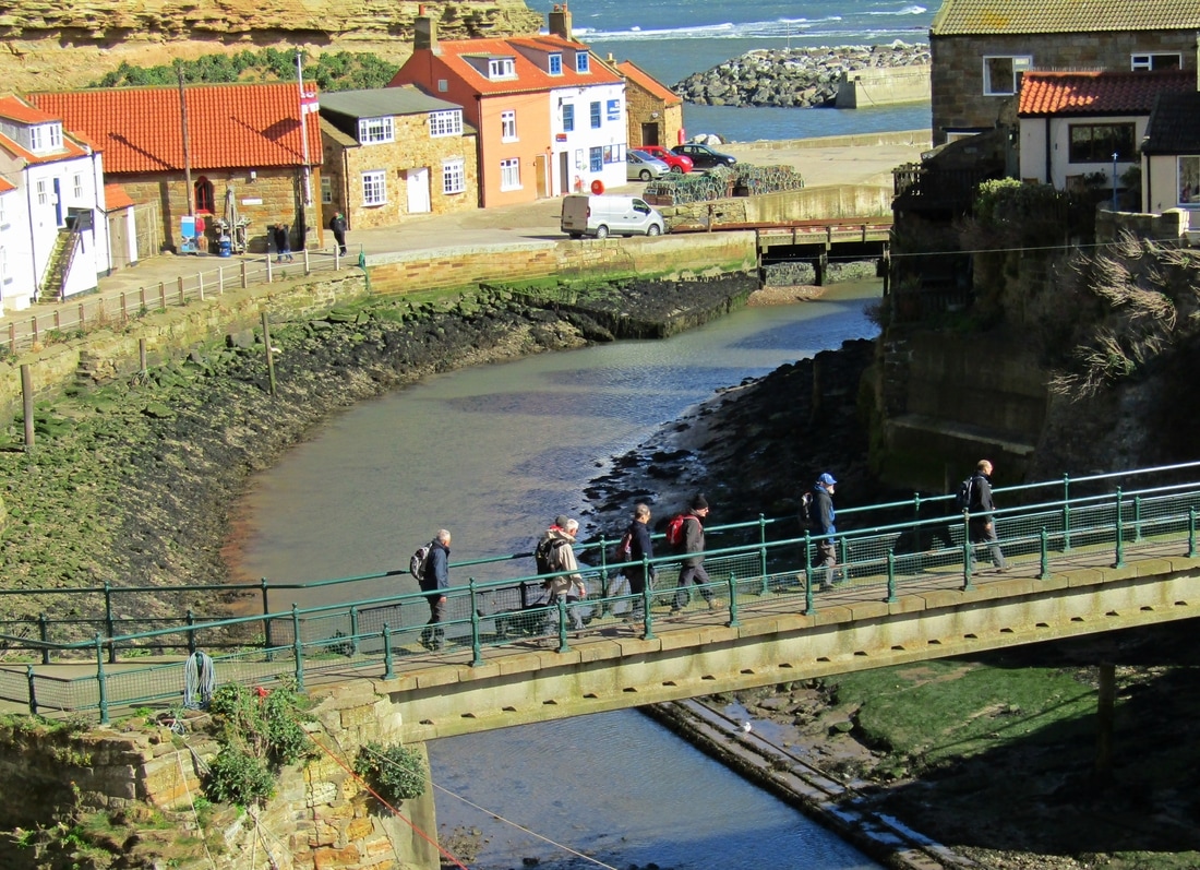
Staithes - Whitby 09/11/17
Distance 11.8 miles
Total ascent 1717 ft
Weather Pleasant
Difficulty mostly easy with a couple of steep sections
Total ascent 1717 ft
Weather Pleasant
Difficulty mostly easy with a couple of steep sections
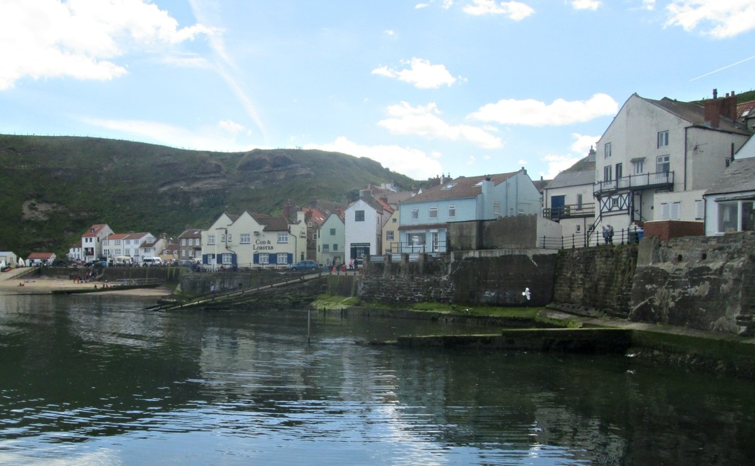
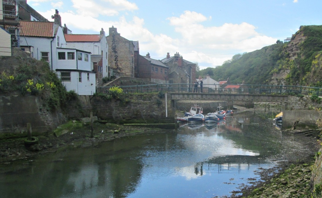
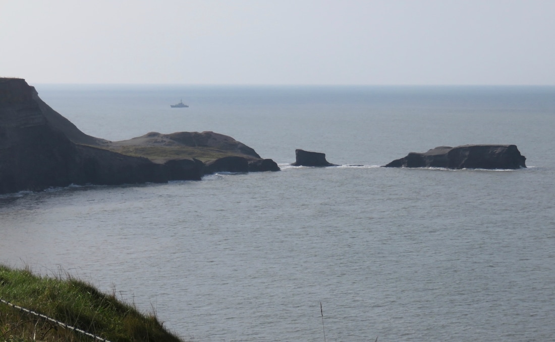
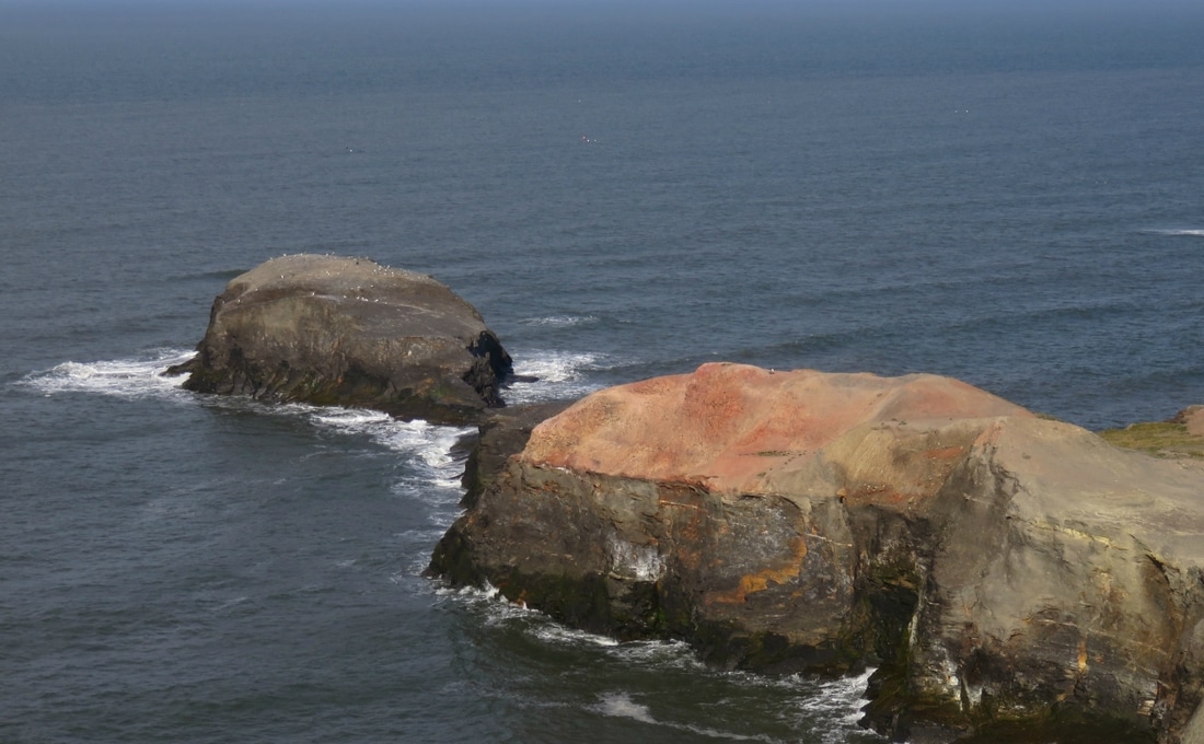
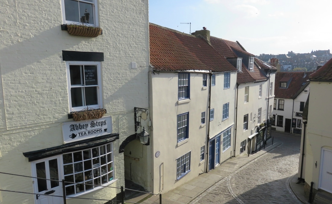
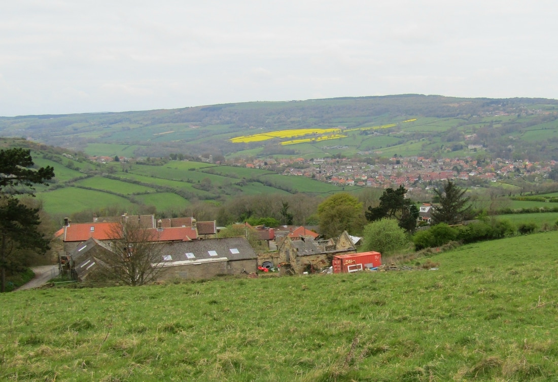
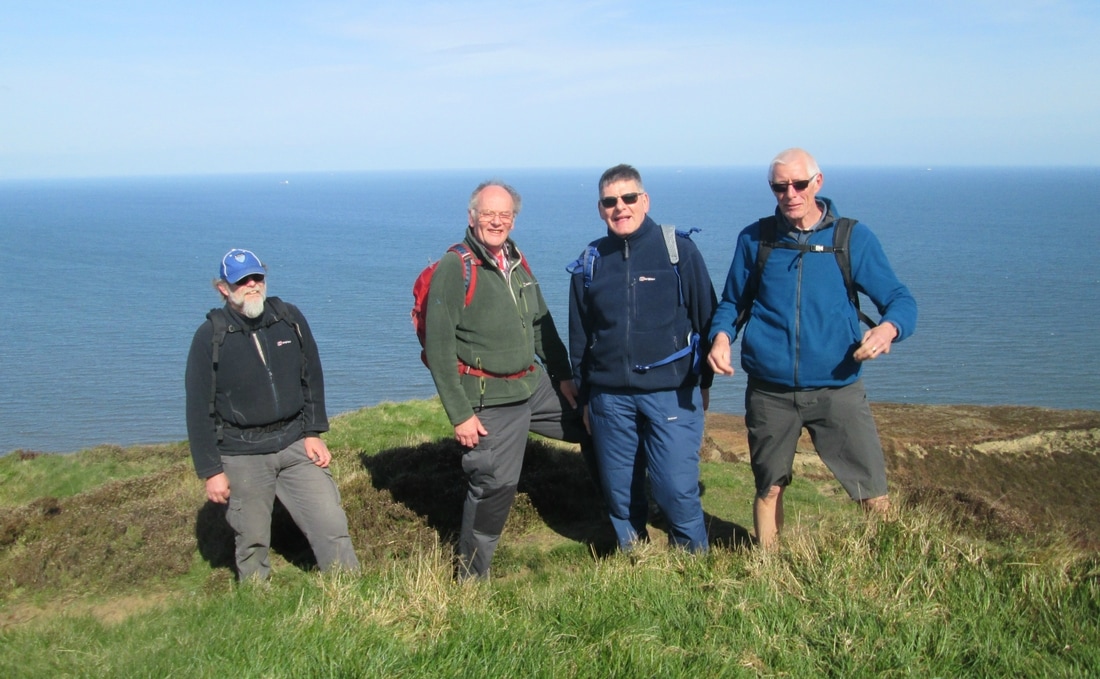
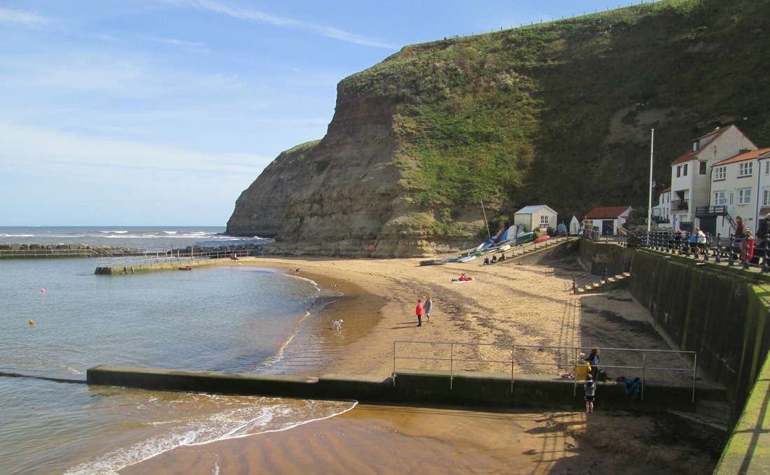
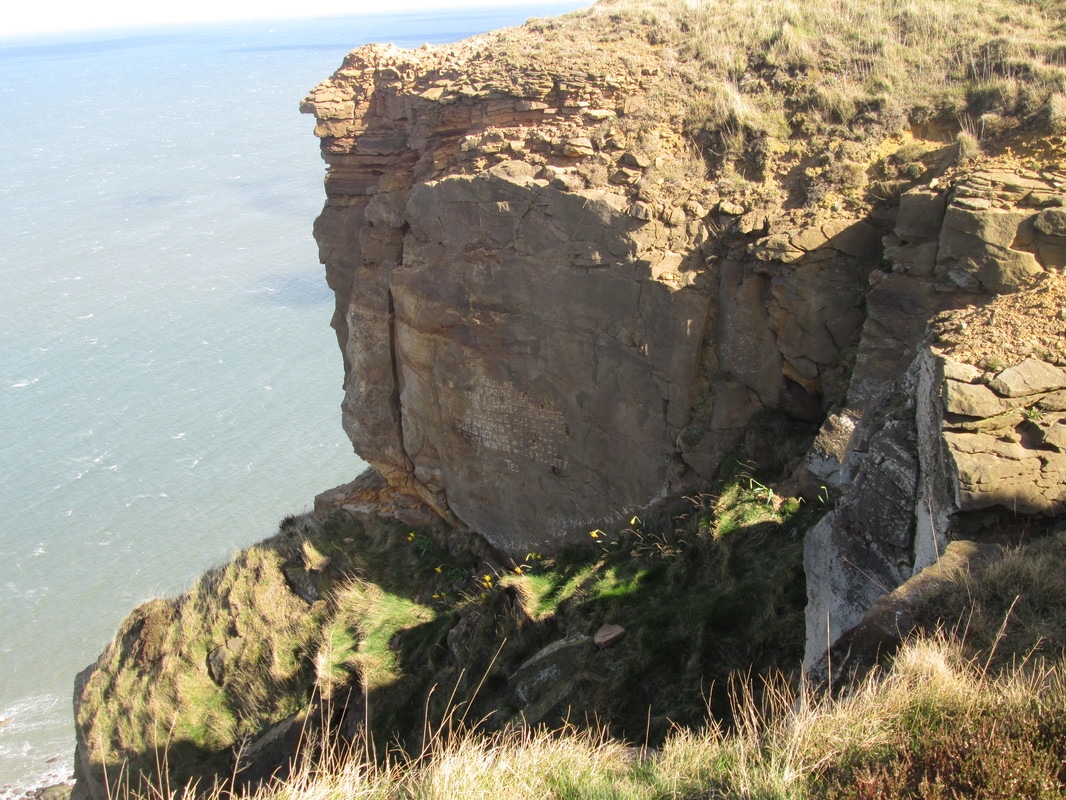
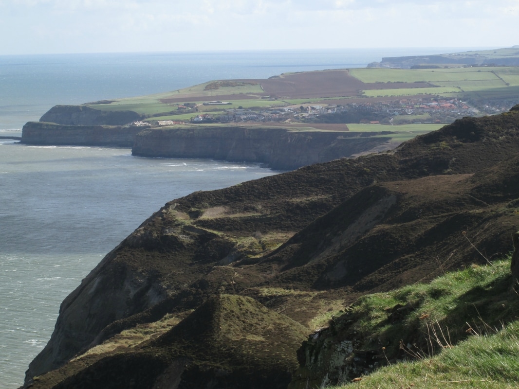
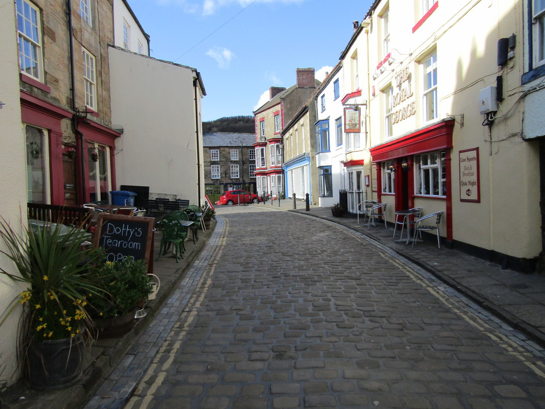
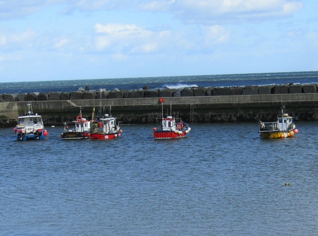
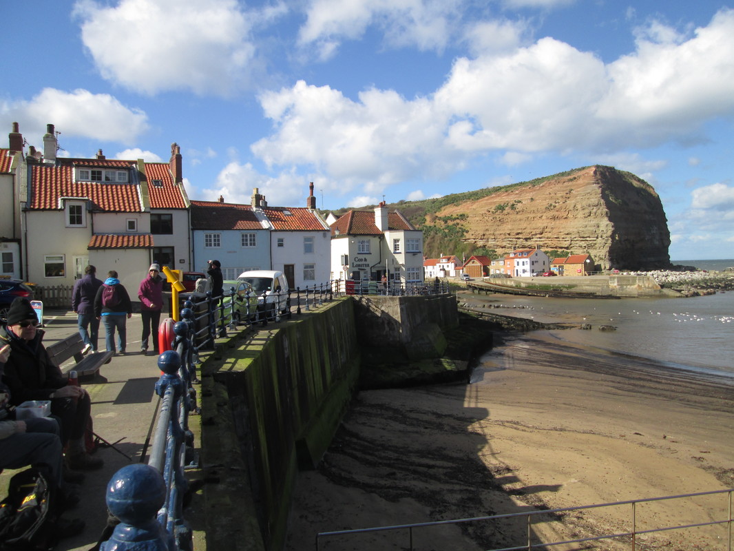
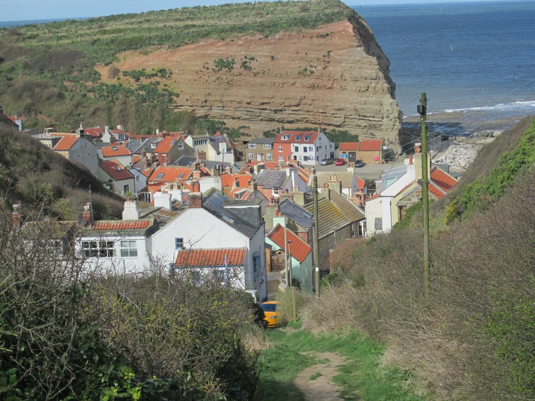
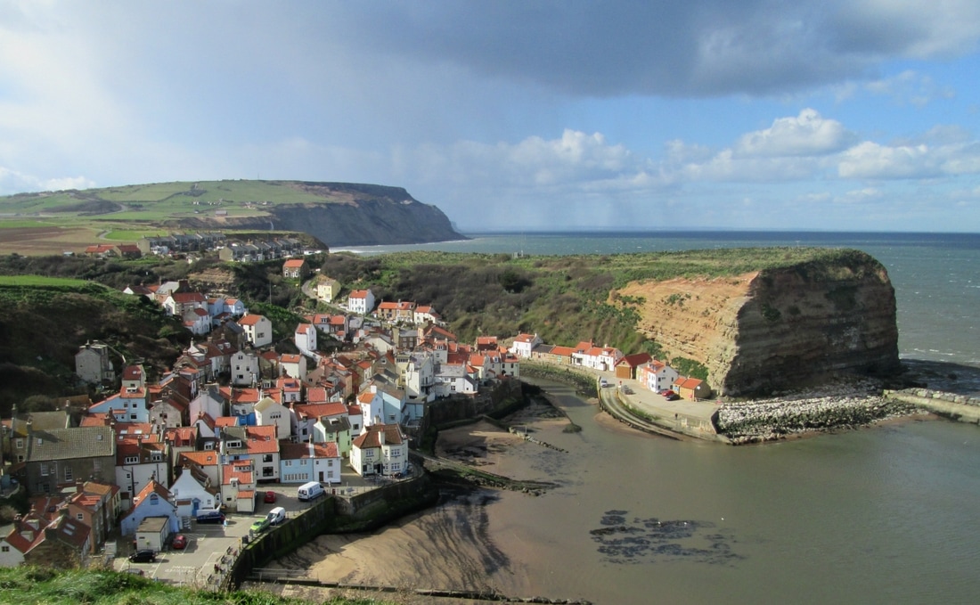
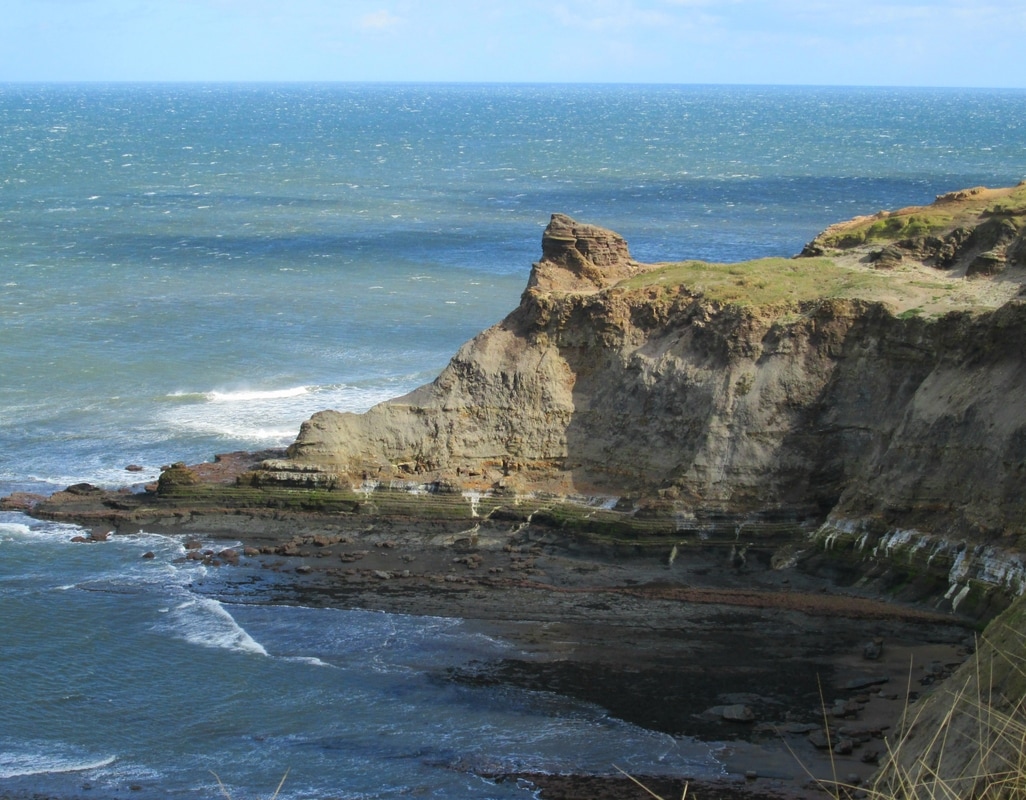
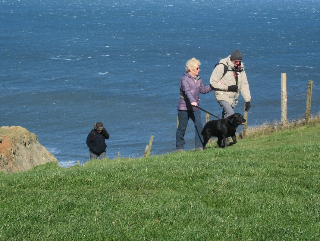
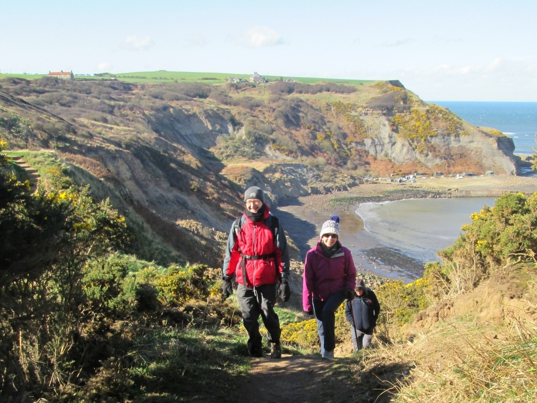
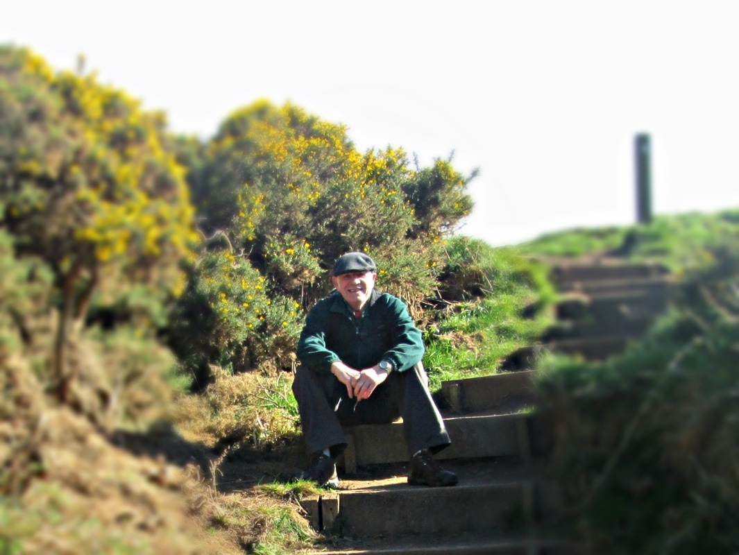
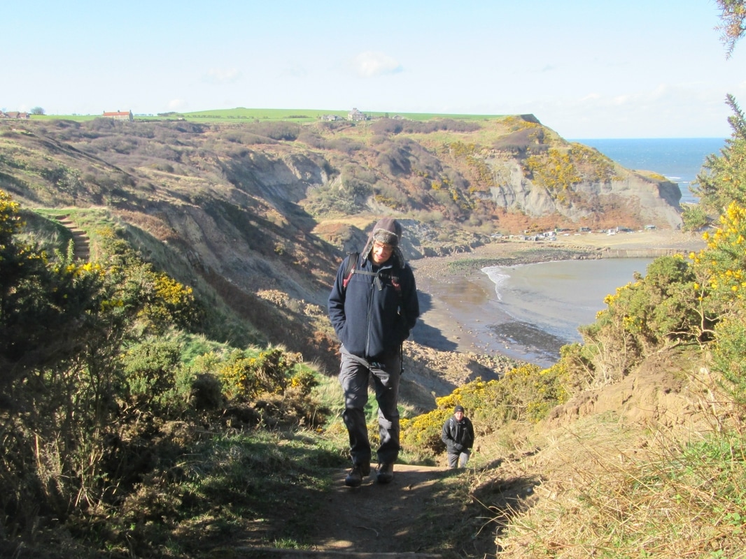
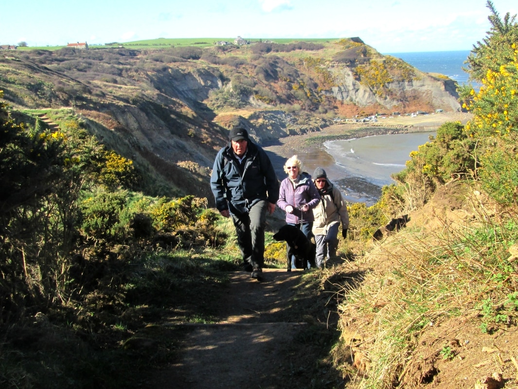
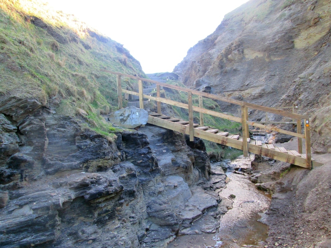
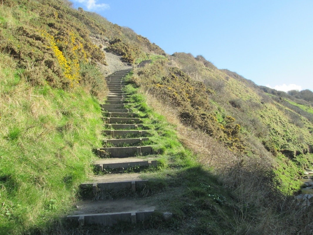
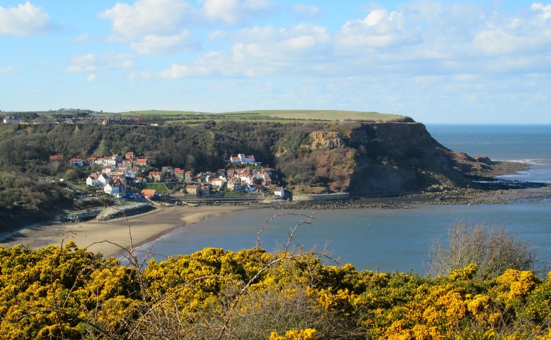
Another walk on a well trodden route along the coast. After catching the 09:30 bus to Staithes we descended into the village by way of Barrass Square before beginning the climb up Church Street and on towards the cliff path. As we neared Runswick we met a couple walking North along the Cleveland Way saying they were heading for Sandsend. After advising them that they were heading in the wrong direction they accompanied us as far as High Cliff where we stopped for lunch. After we had eaten we carried on along the cliff top but were asked by a member of a shooting party to divert around a field because a shoot was in progress. we could hear the beaters in the wood to our right and a short while afterwards the birds broke cover and the slaughter began. It spoilt my day a little I must confess.
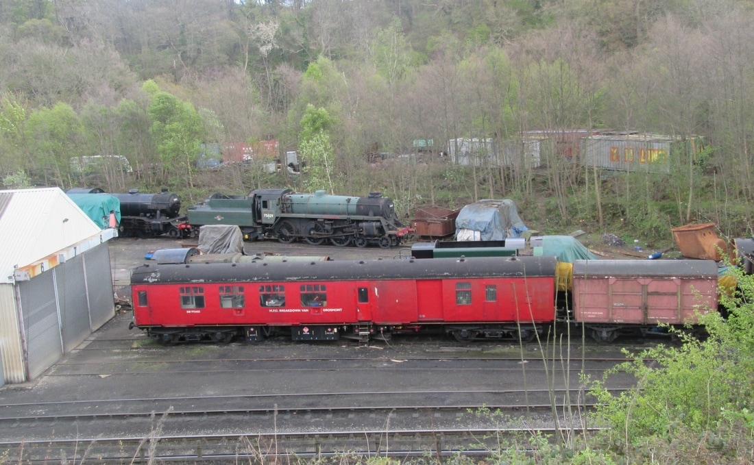
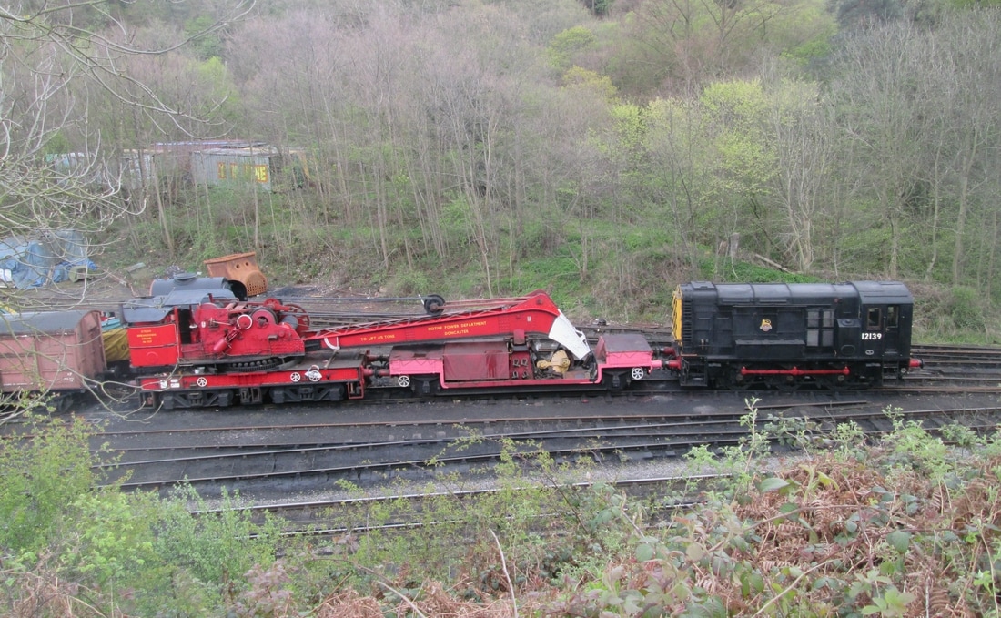
Grosmont, Beck Hole circuit 02/11/17
Distance 8.1 miles
Total ascent 929 ft
Weather Calm & mild, damp at first but brighter later.
Difficulty Easy
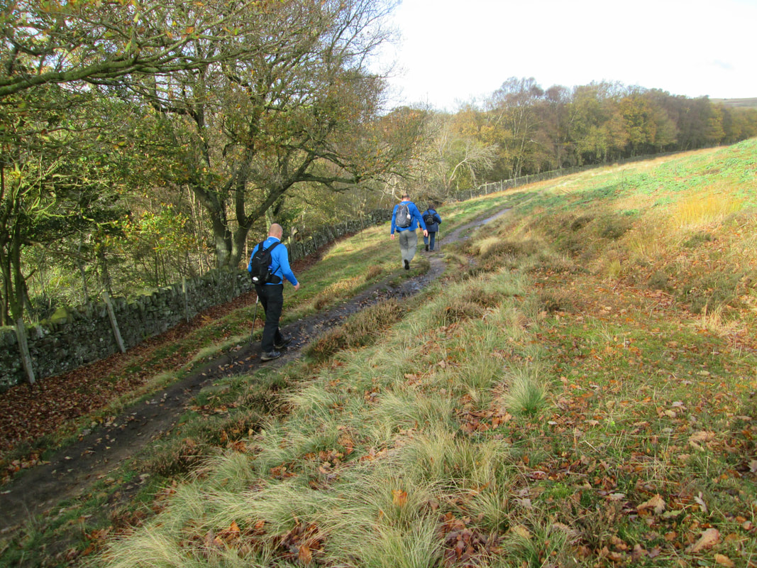
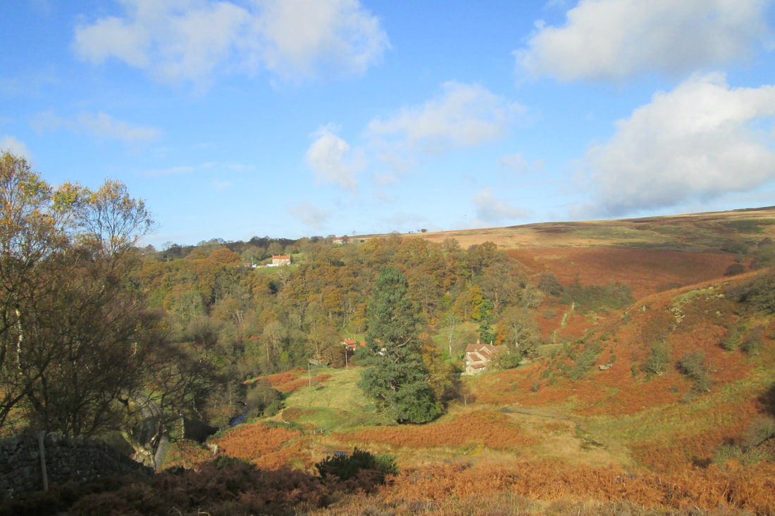
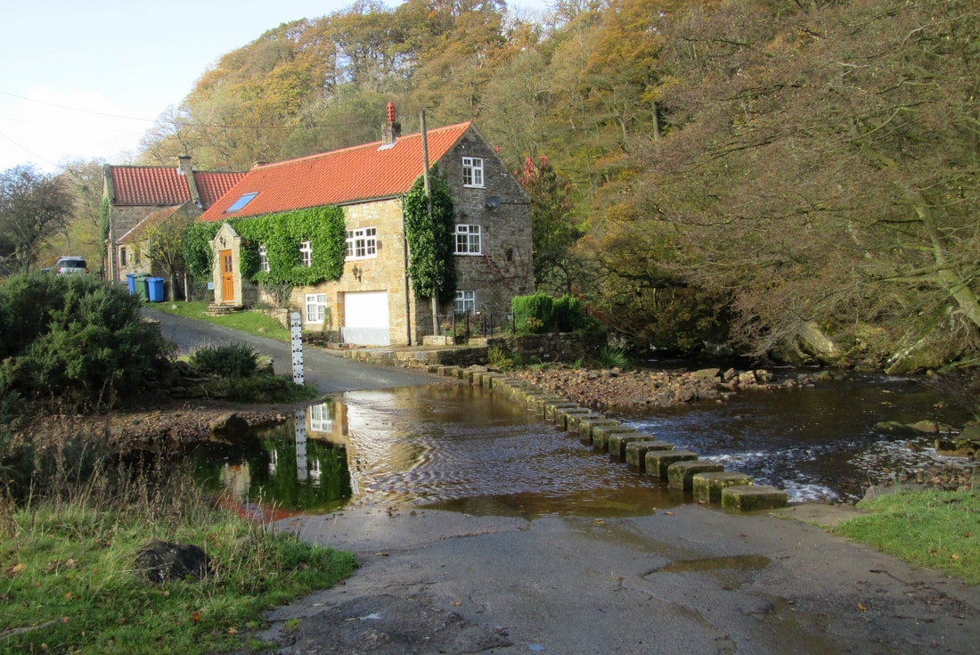
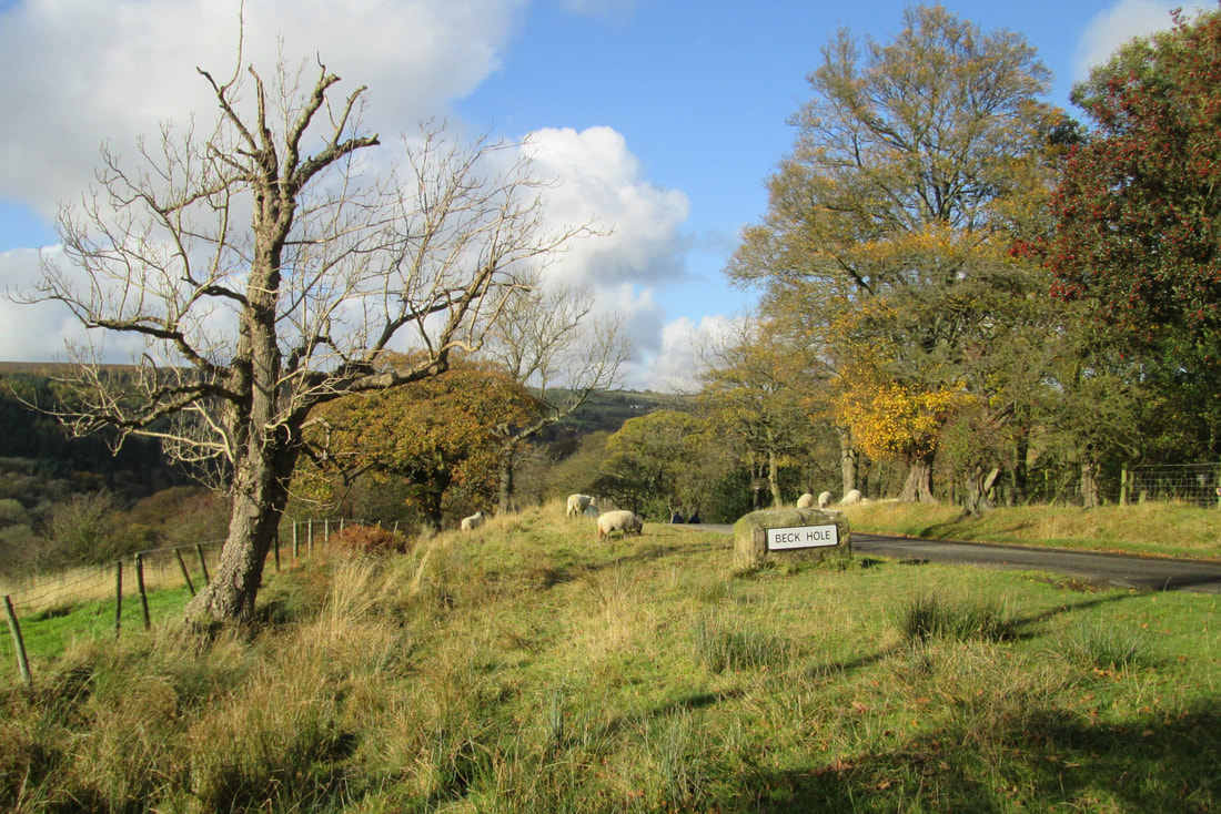
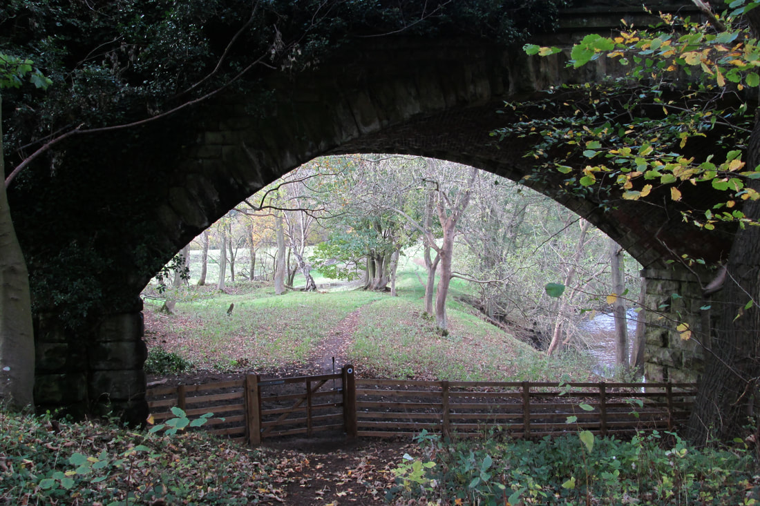
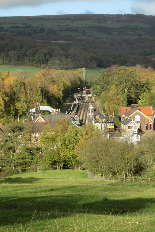
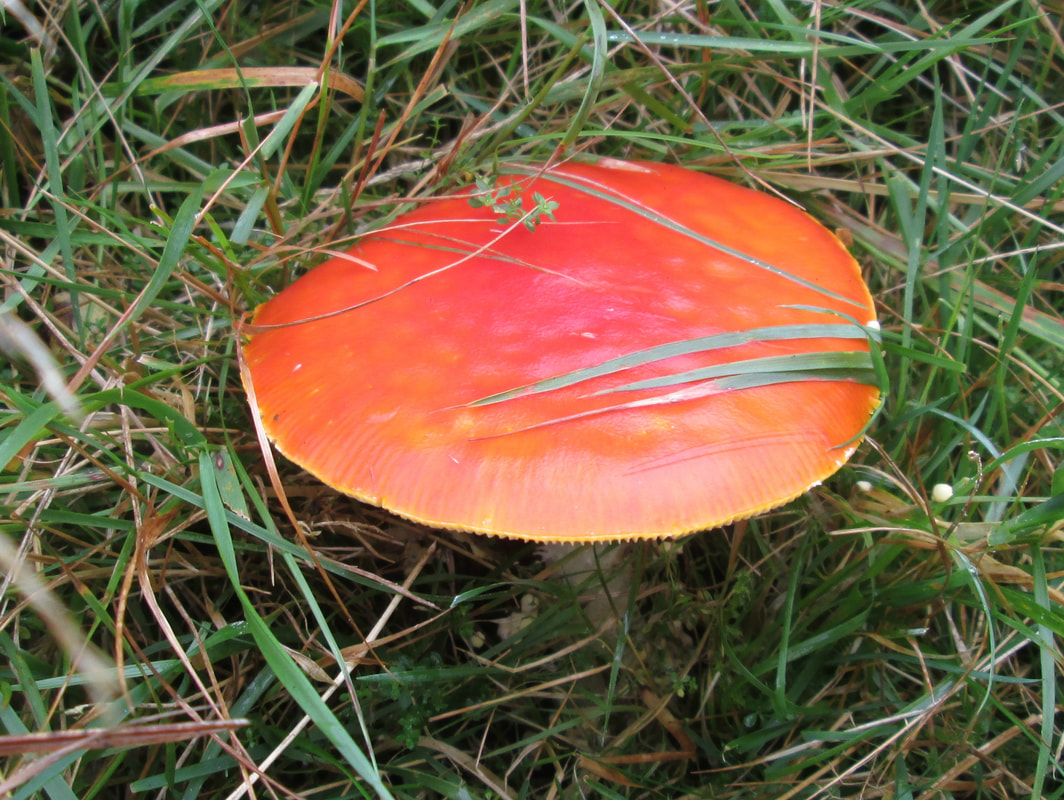
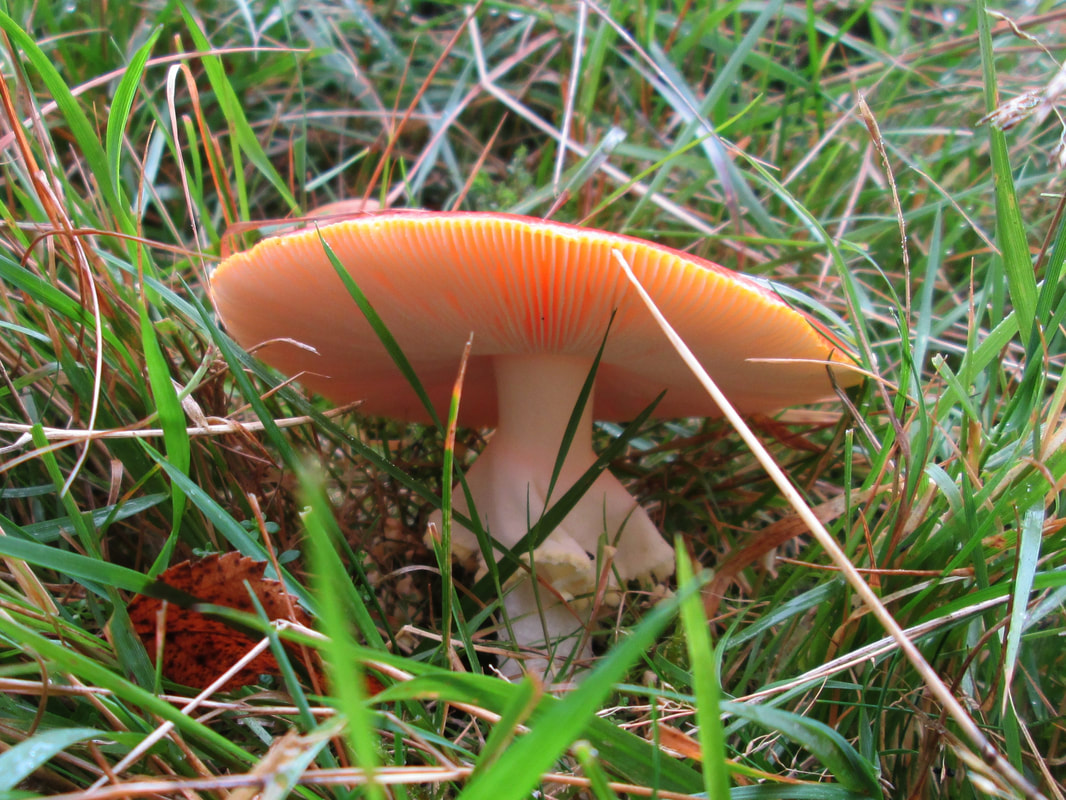
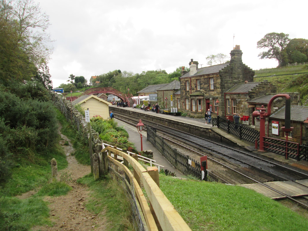
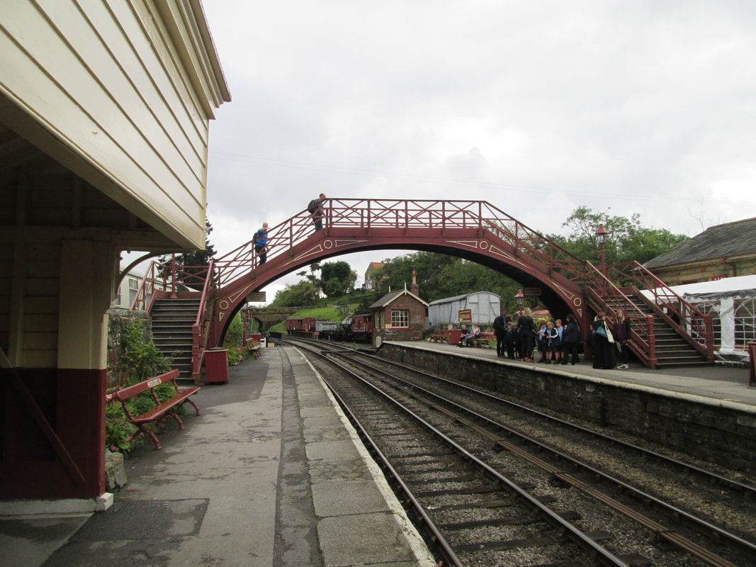
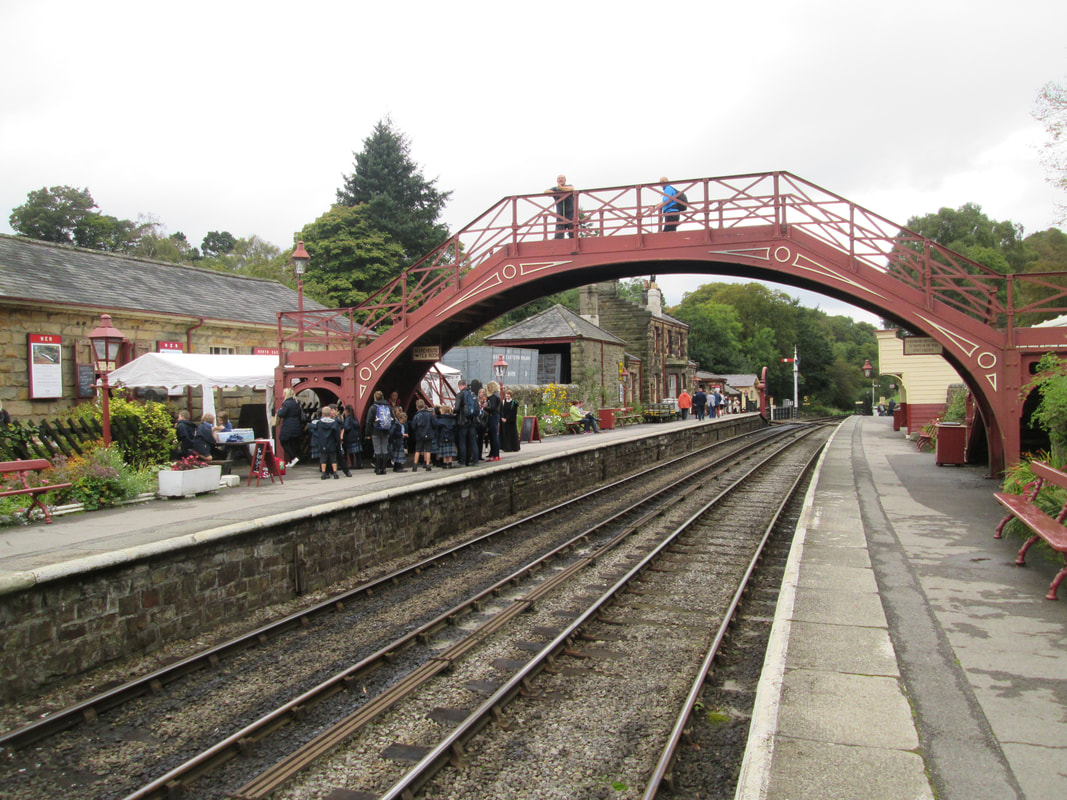
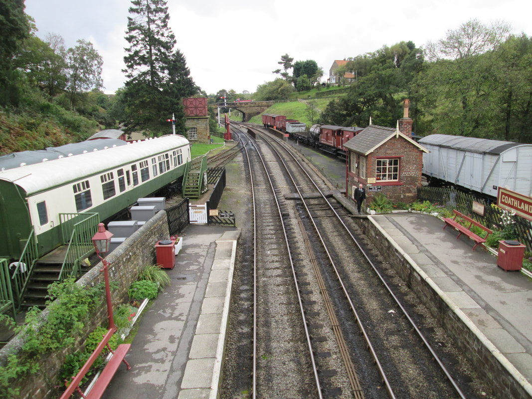
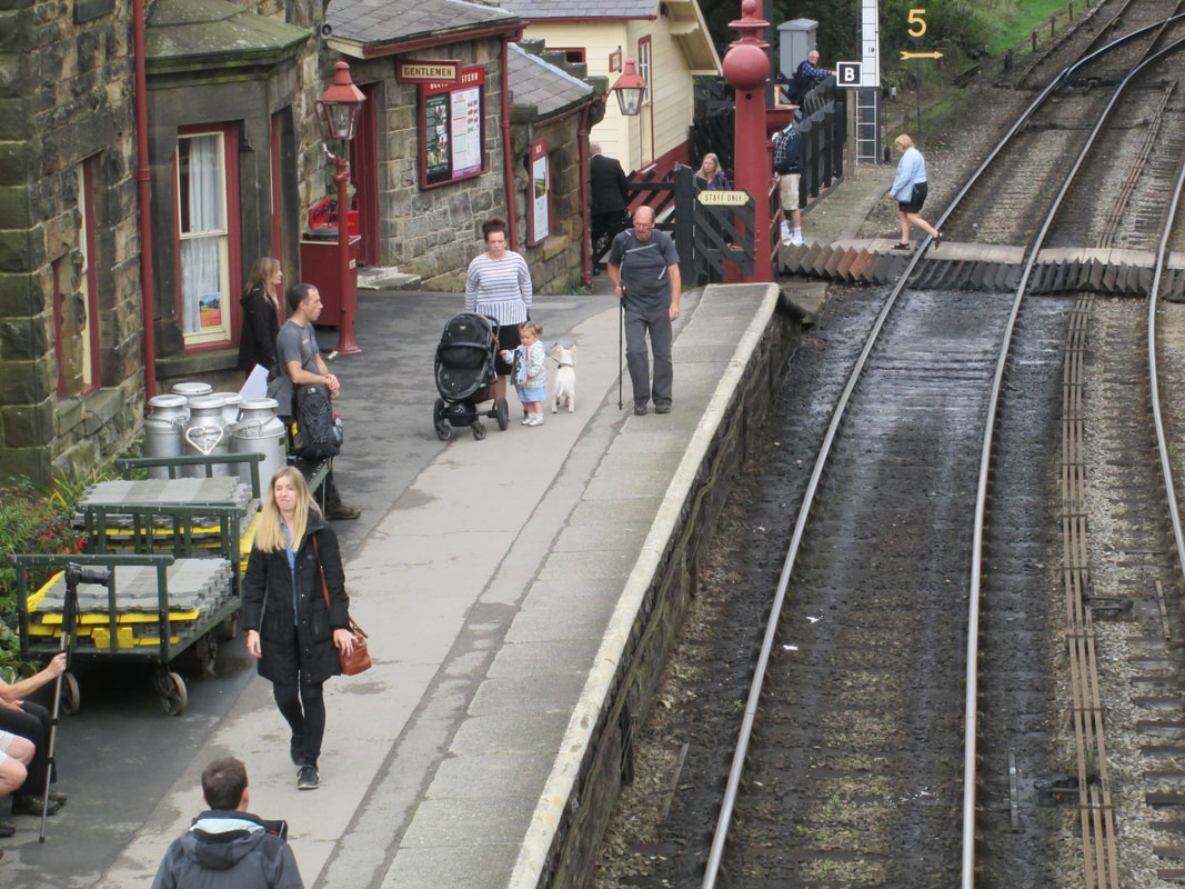
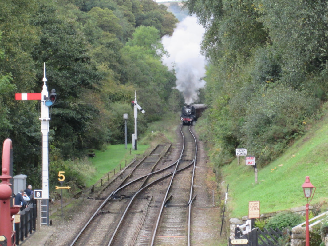
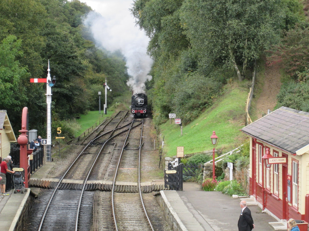
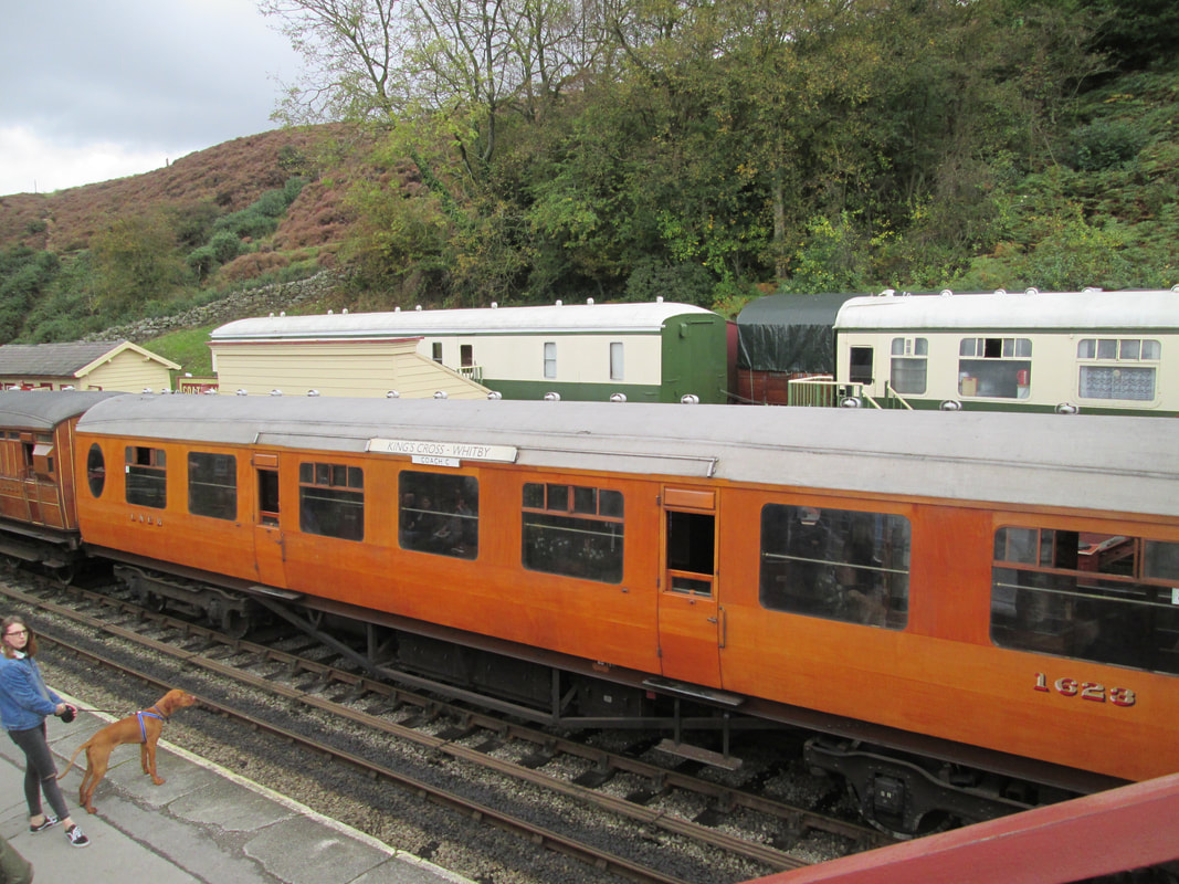
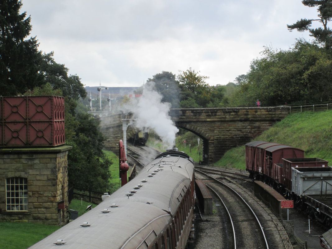
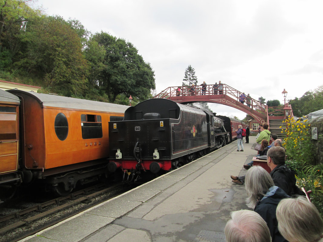
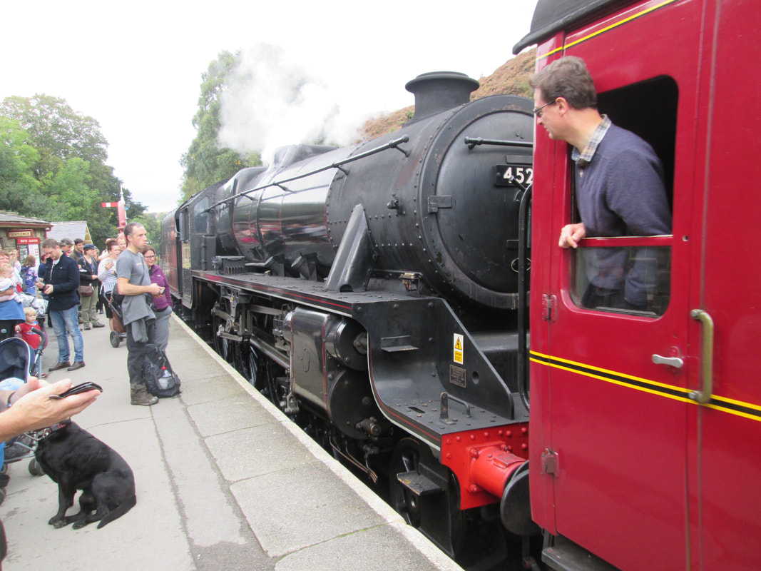
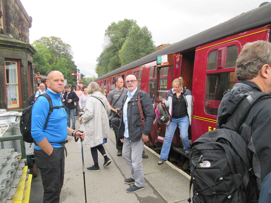
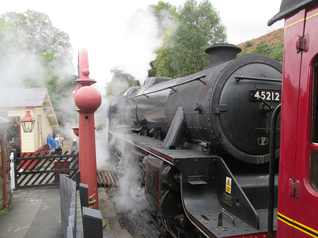
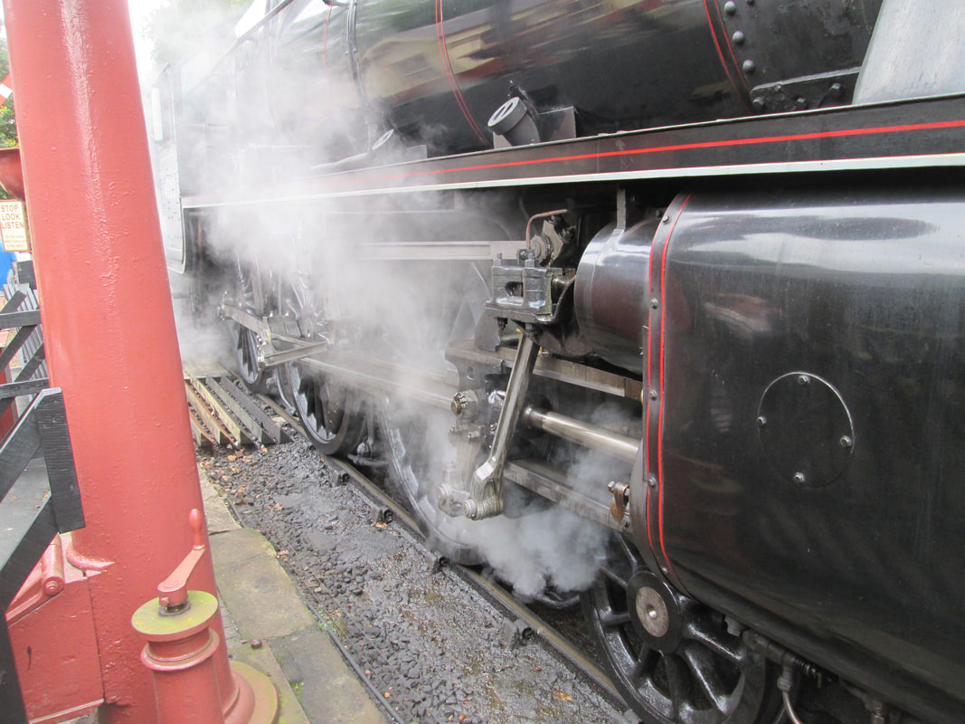
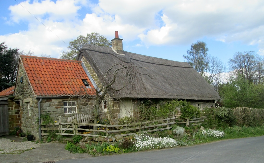
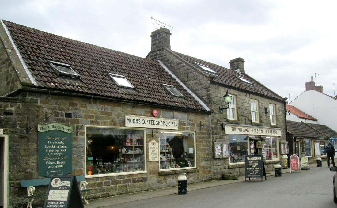
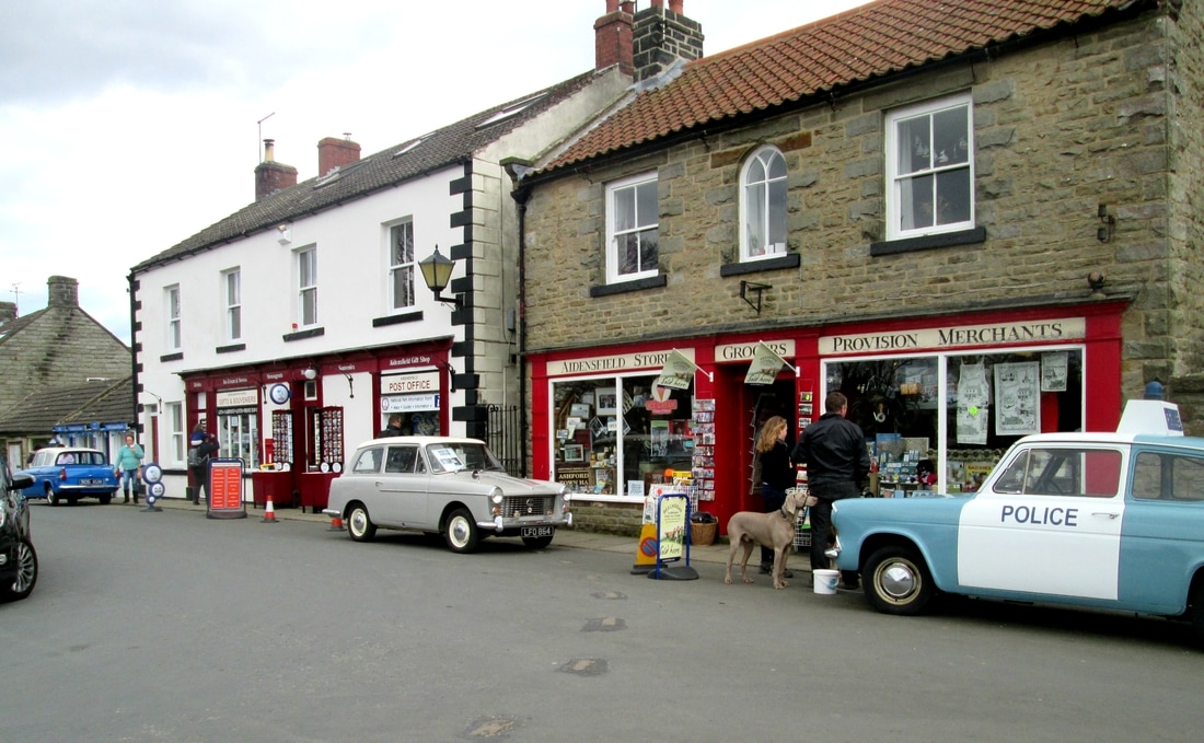
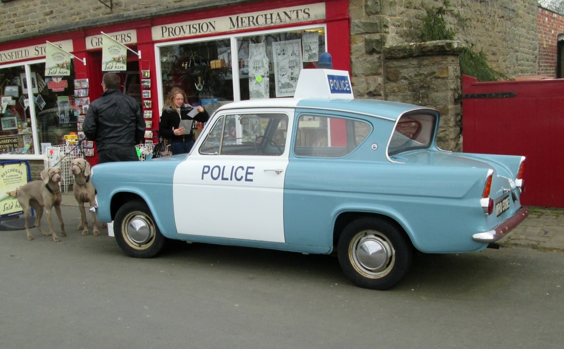
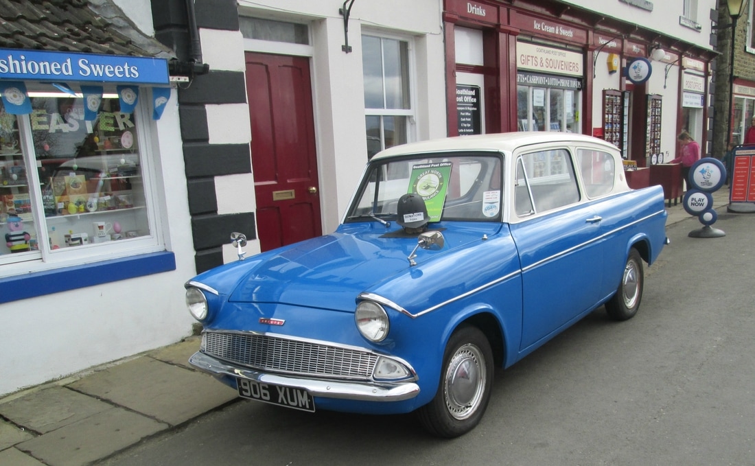
This was the second walk in this area within a short period of time. We started from Grosmont station and followed the route of the old Branch line to Goathland. From there we made our way through the village to the station, crossed the line and took the path to Darnholme, on to Beck Hole & Green End before returning to Grosmont once more using the old Beck Hole branch line.
Total ascent 929 ft
Weather Calm & mild, damp at first but brighter later.
Difficulty Easy
This was the second walk in this area within a short period of time. We started from Grosmont station and followed the route of the old Branch line to Goathland. From there we made our way through the village to the station, crossed the line and took the path to Darnholme, on to Beck Hole & Green End before returning to Grosmont once more using the old Beck Hole branch line.
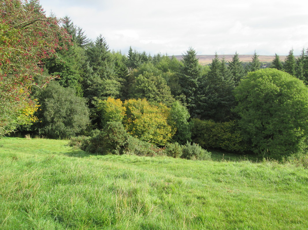
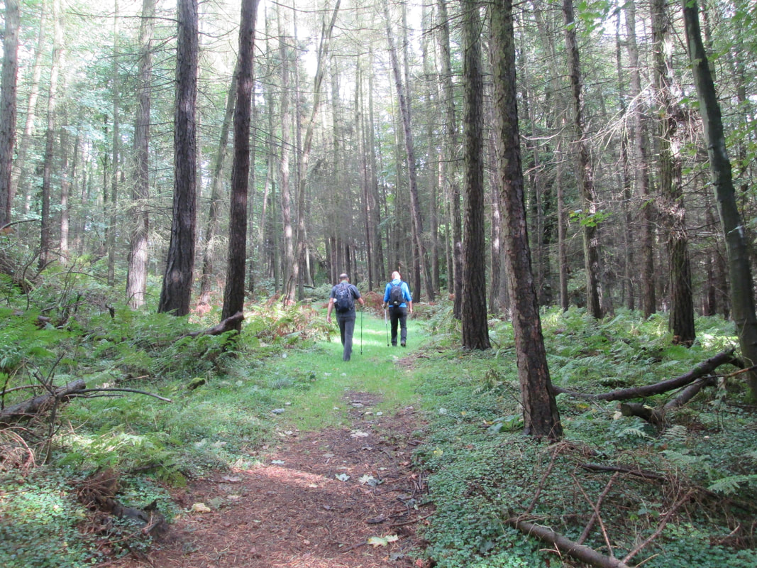
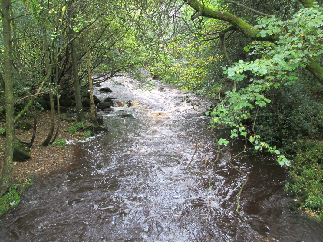
Goathland circuit 28/09/17
Distance 5.8 miles
Total ascent 671 ft
Weather Overcast
Difficulty Easy
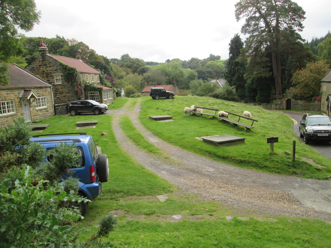
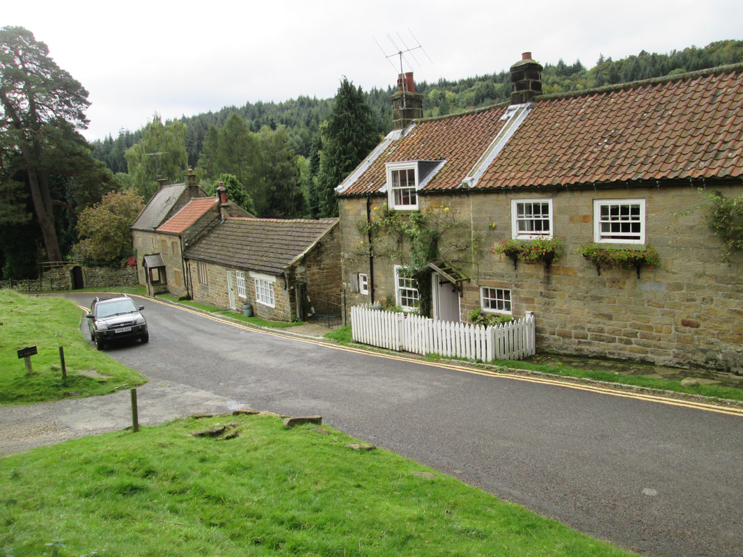
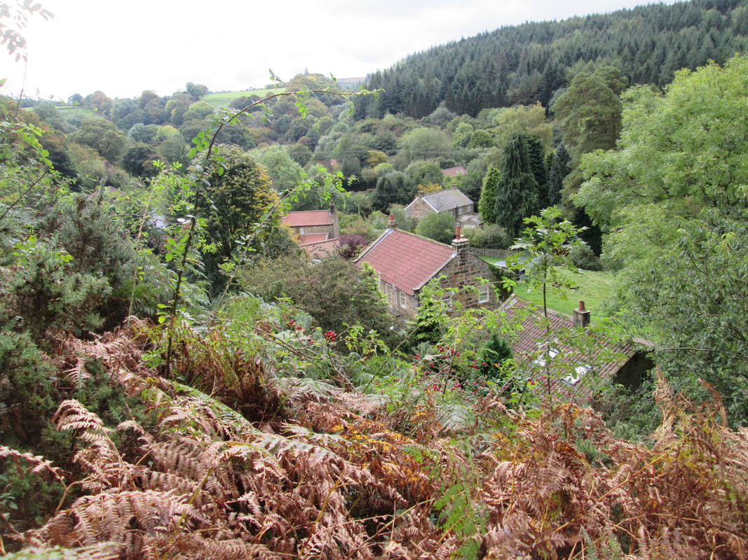
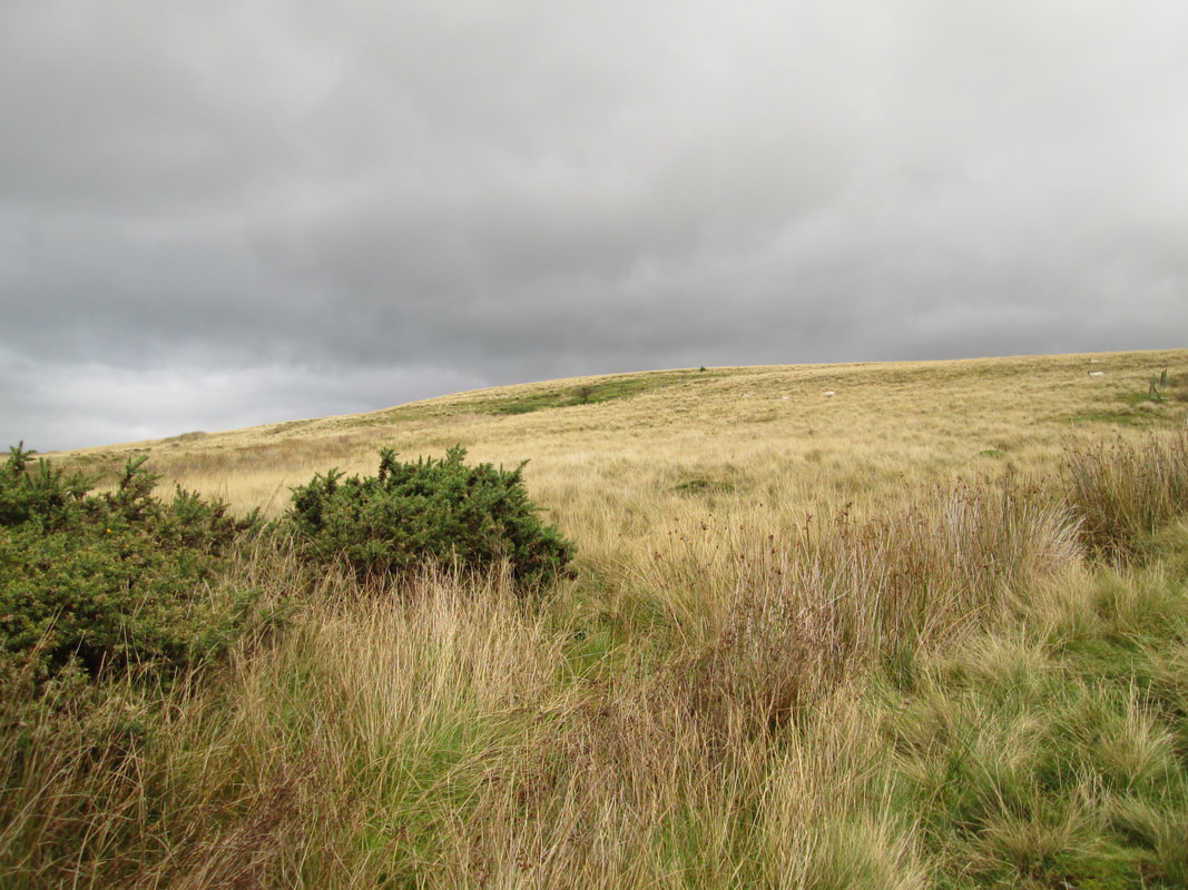
Today's walk was quite short, though pleasant, taking in a mixture of woods and moorland in and around the Goathland area.
Total ascent 671 ft
Weather Overcast
Difficulty Easy
Today's walk was quite short, though pleasant, taking in a mixture of woods and moorland in and around the Goathland area.
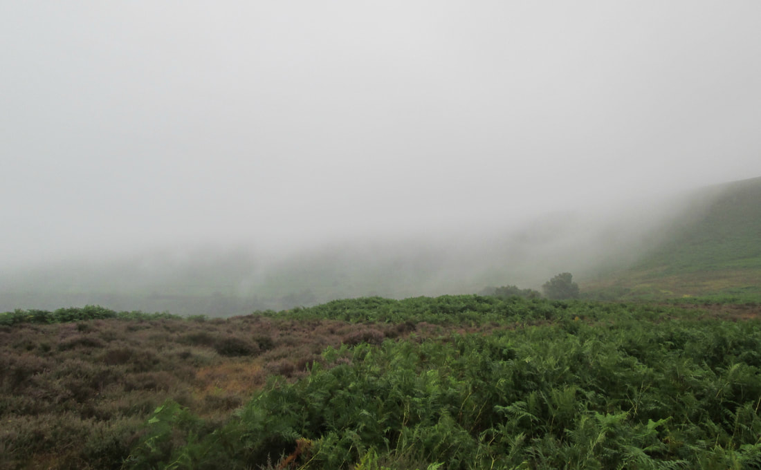
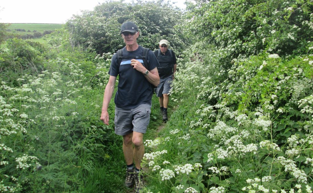
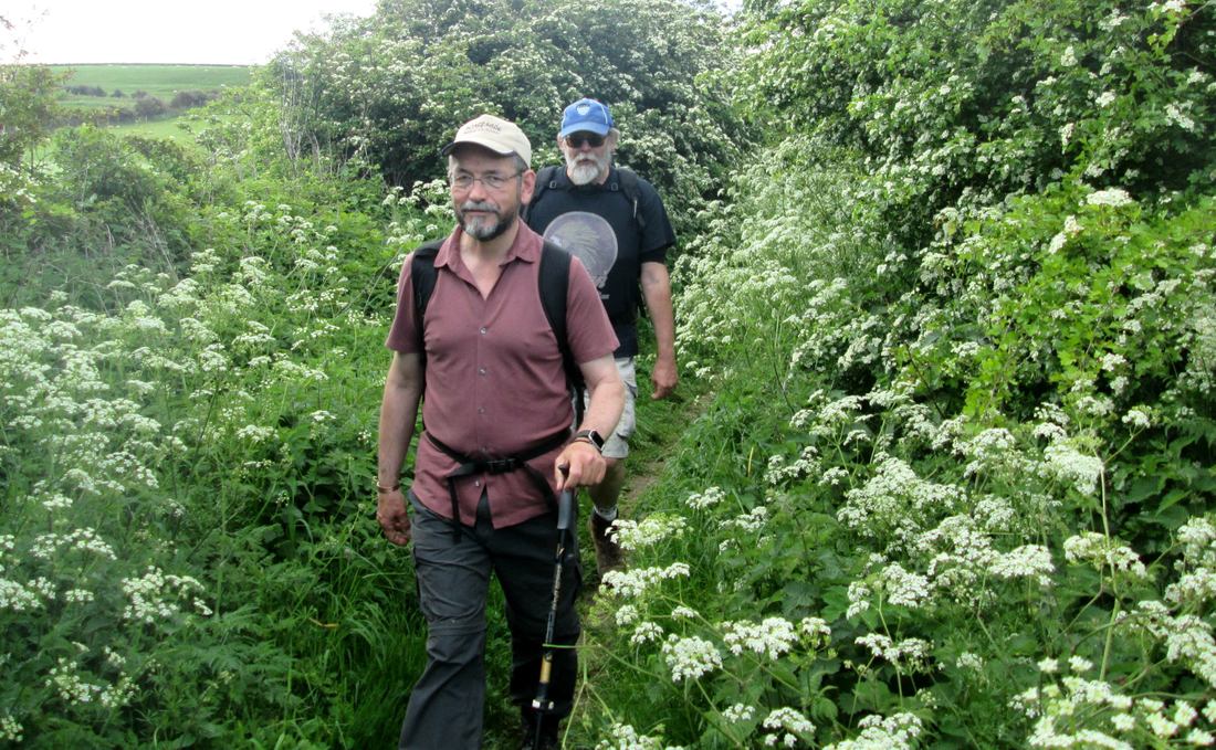
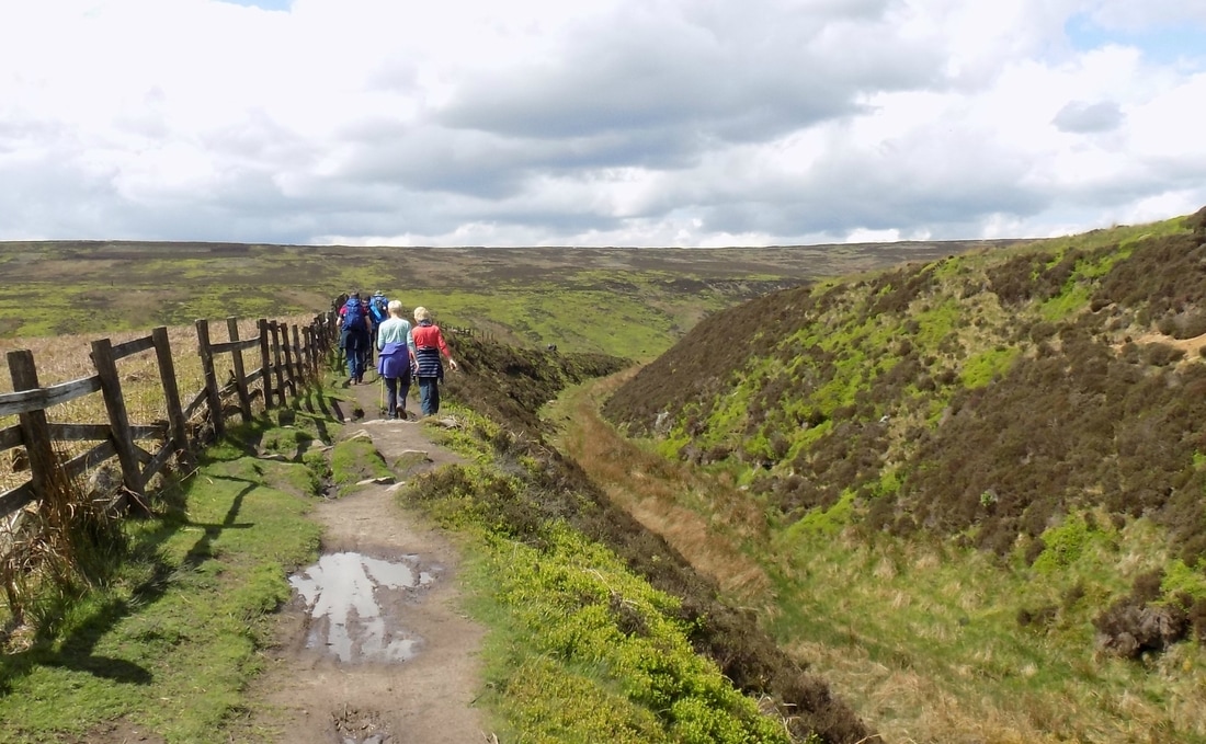
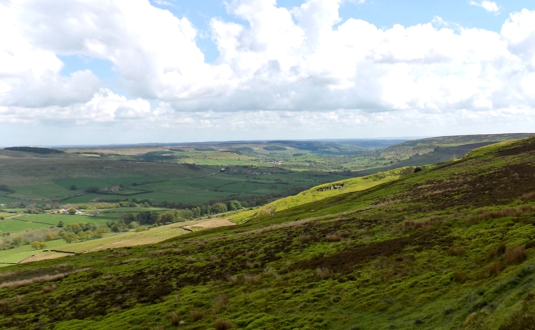
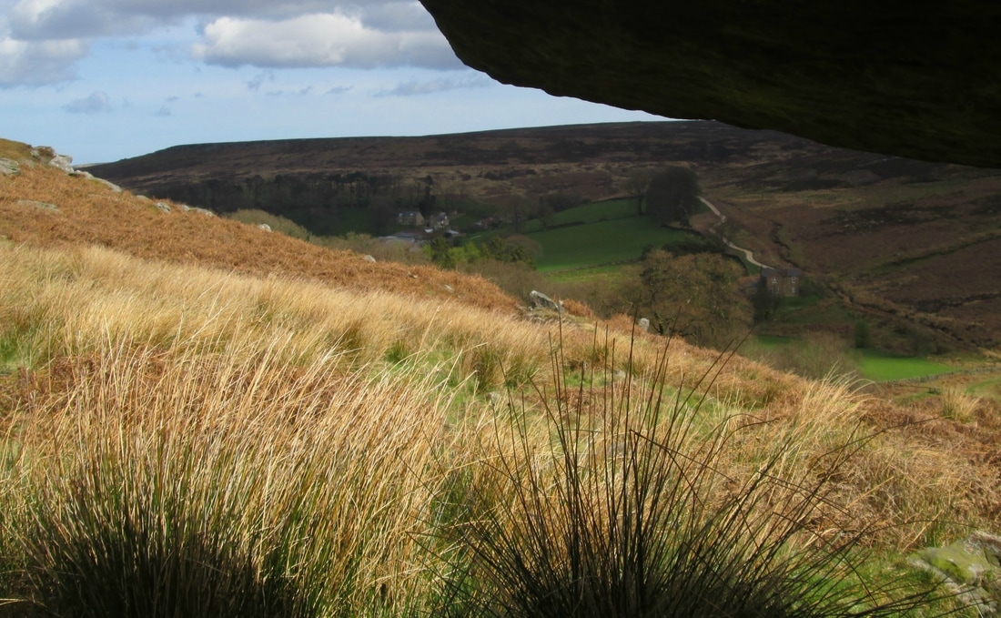
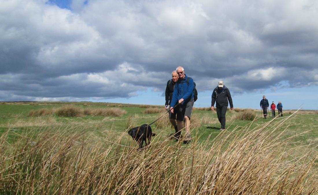
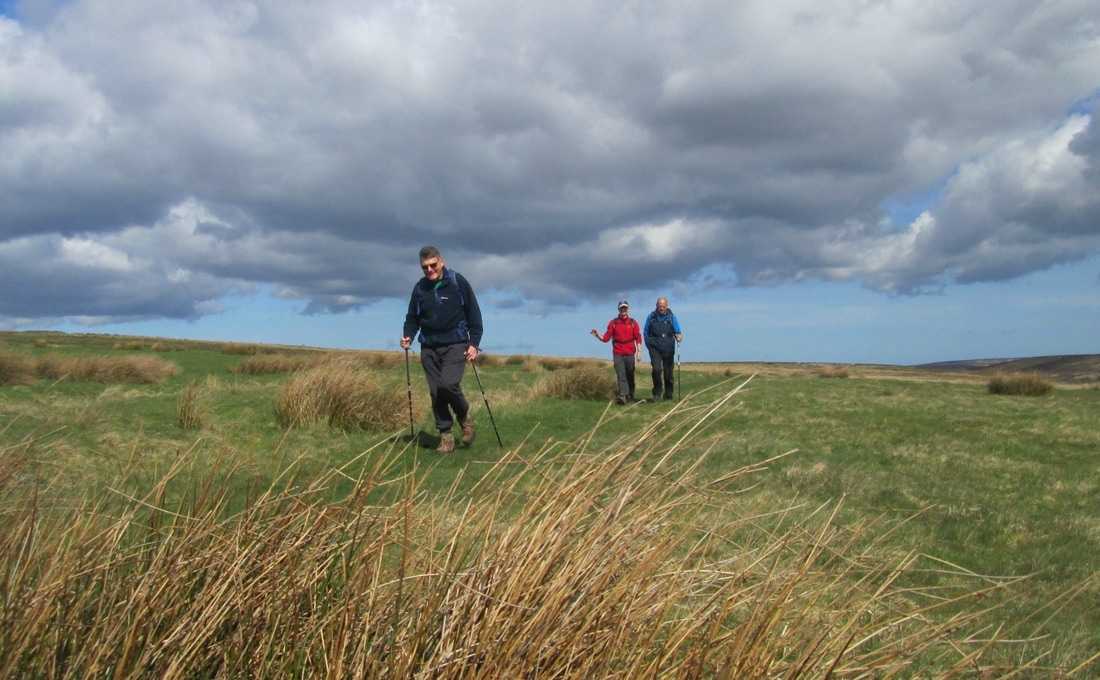
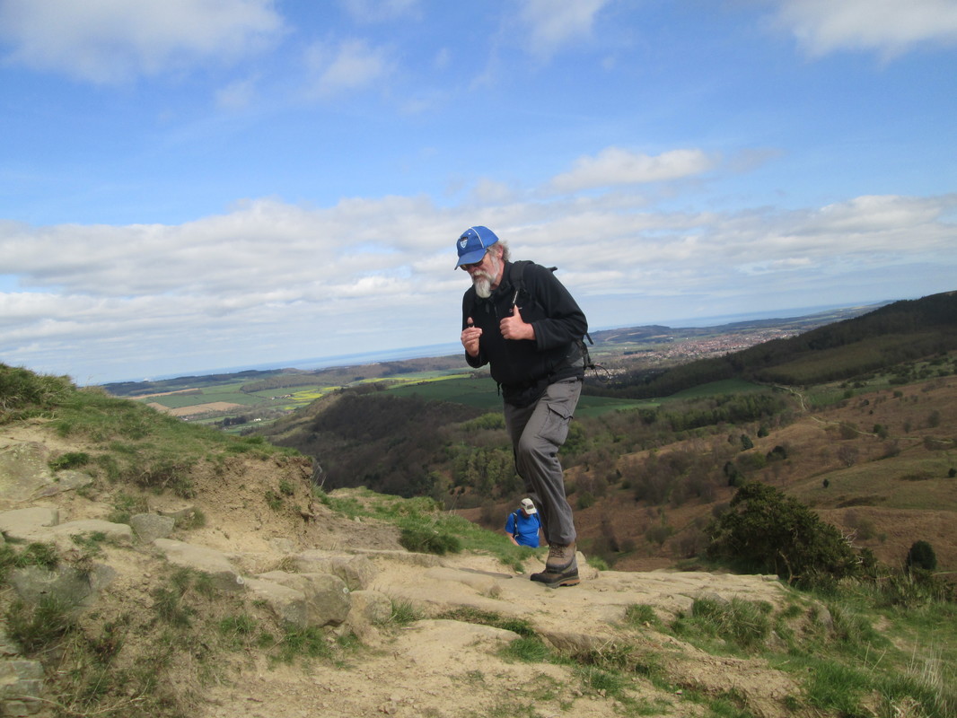
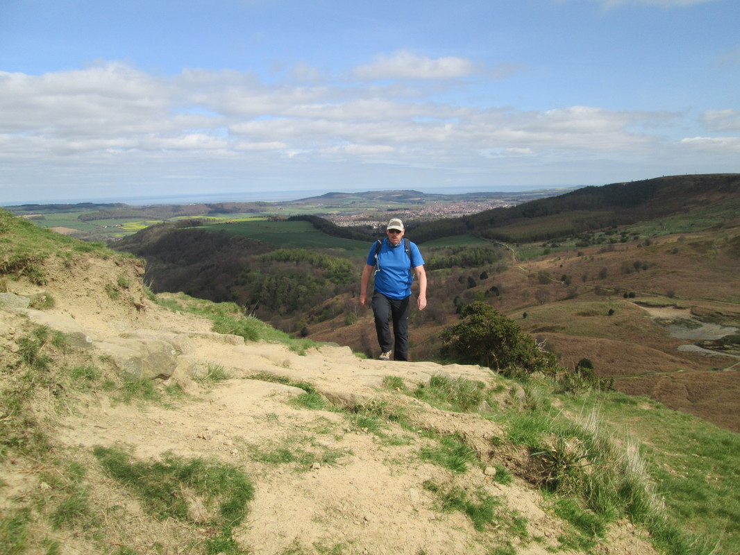
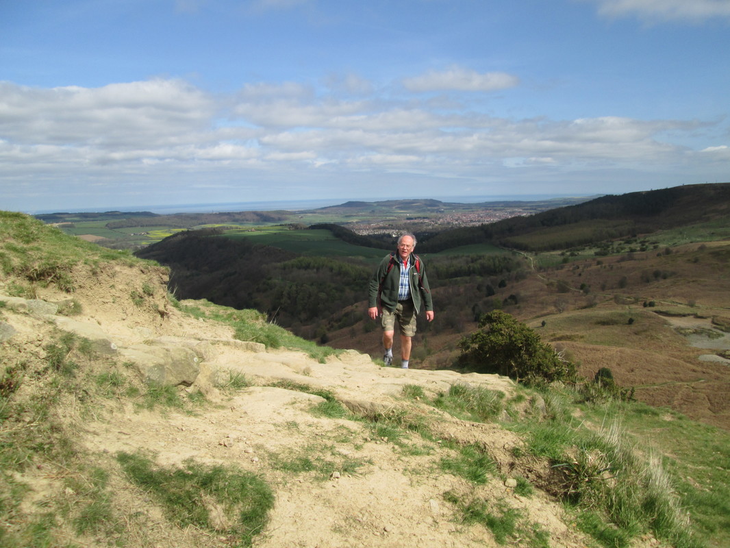
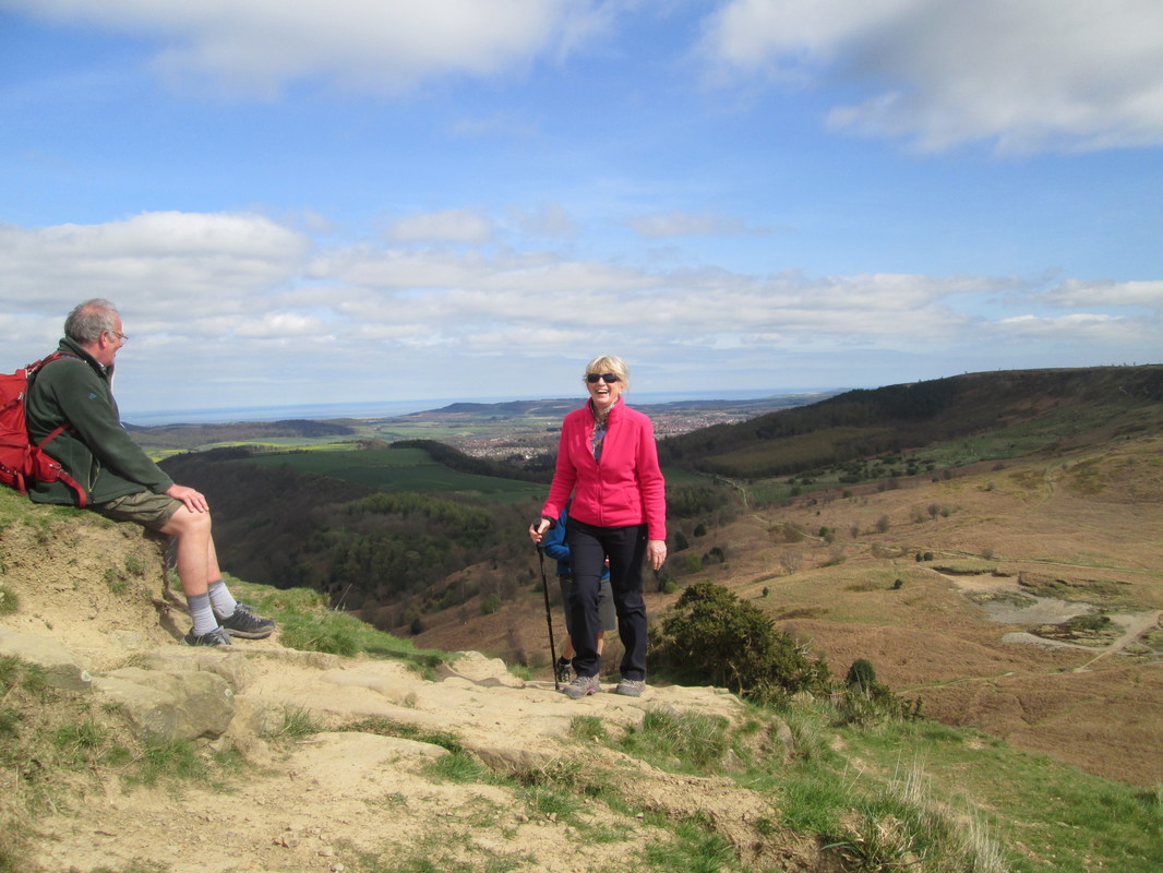
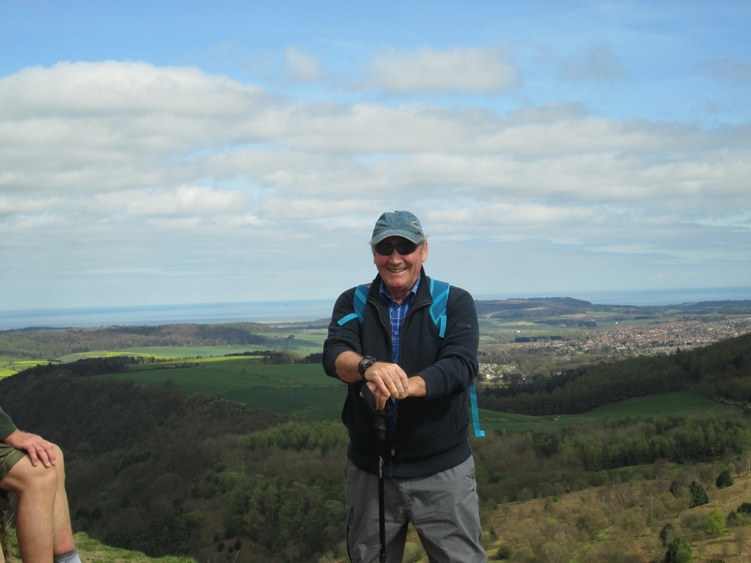
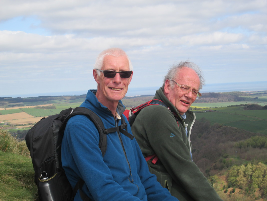
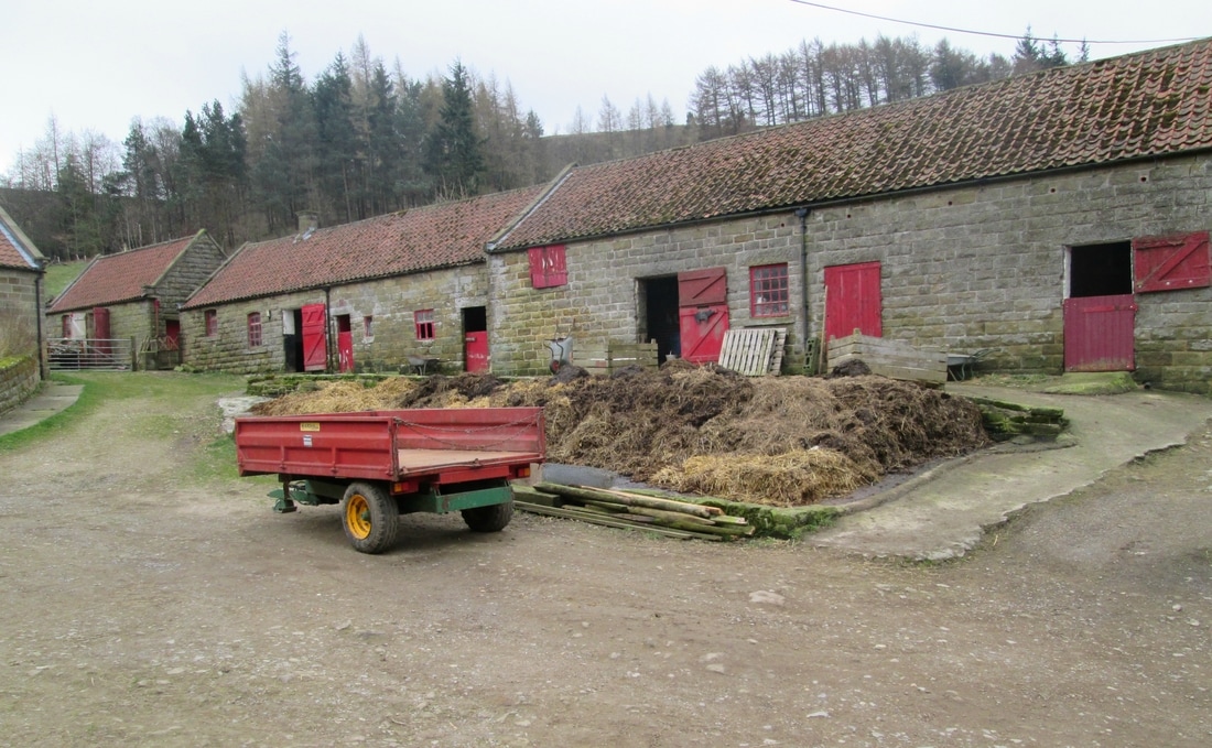
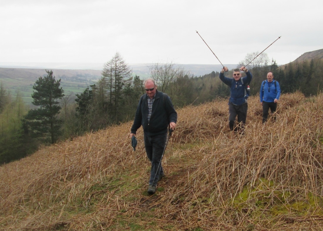
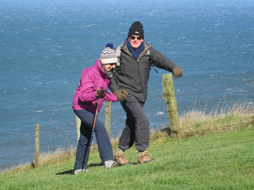
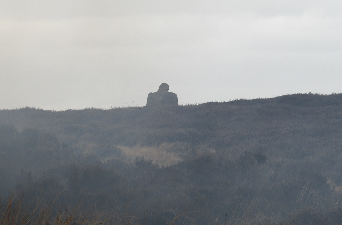
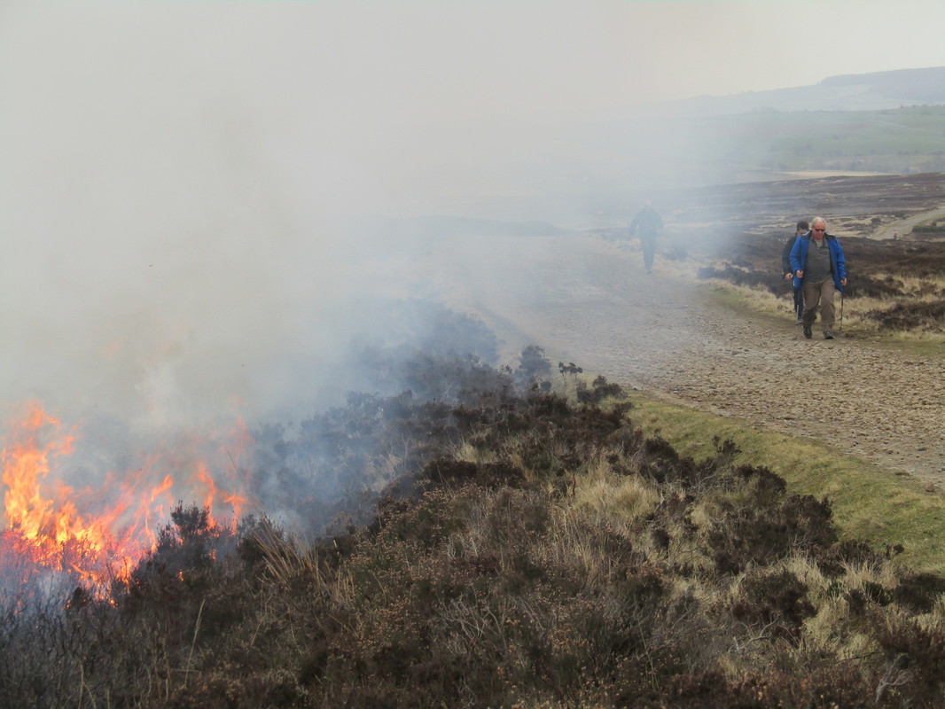
Golden Grove & Greystone Hills Moor
Distance 12.1 miles
Total Ascent 1,046 ft
Weather Breezy
Difficulty Easy to moderate
Total Ascent 1,046 ft
Weather Breezy
Difficulty Easy to moderate
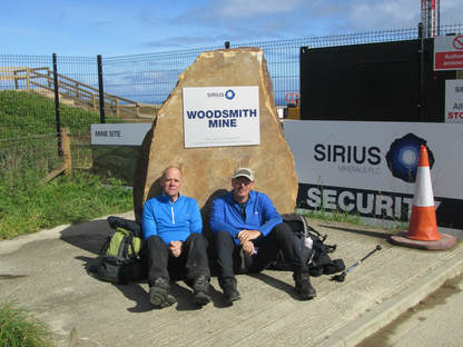
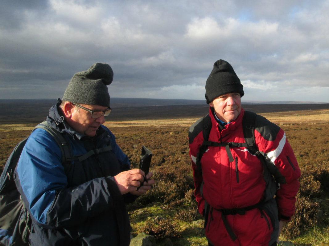
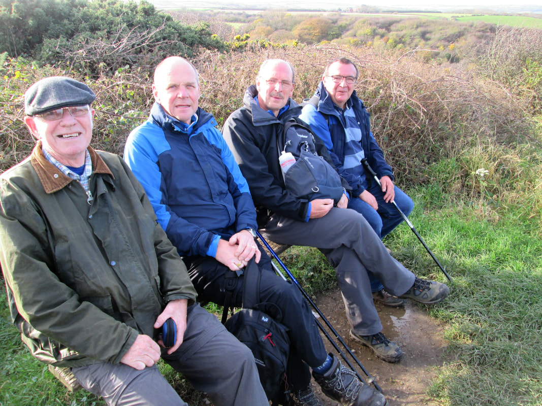
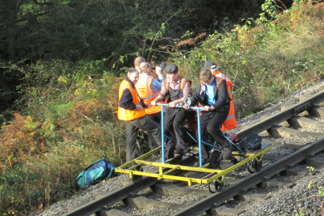
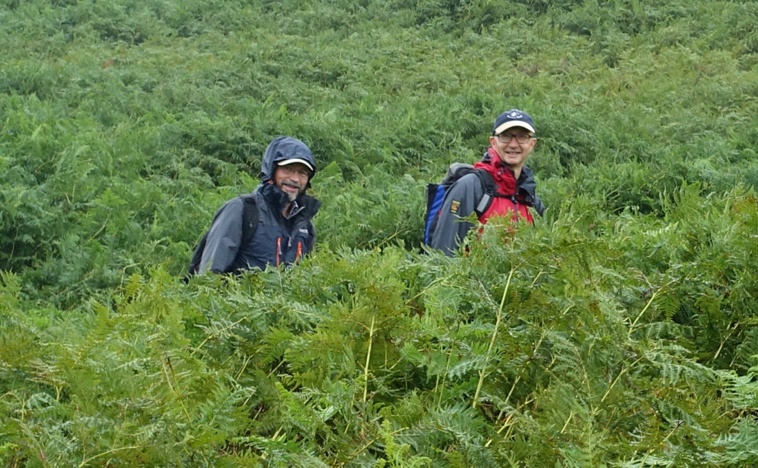
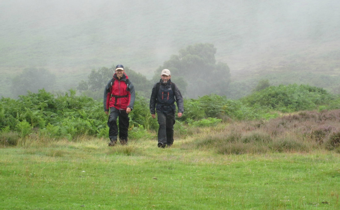
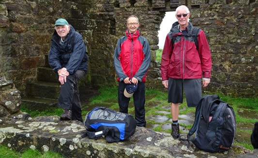
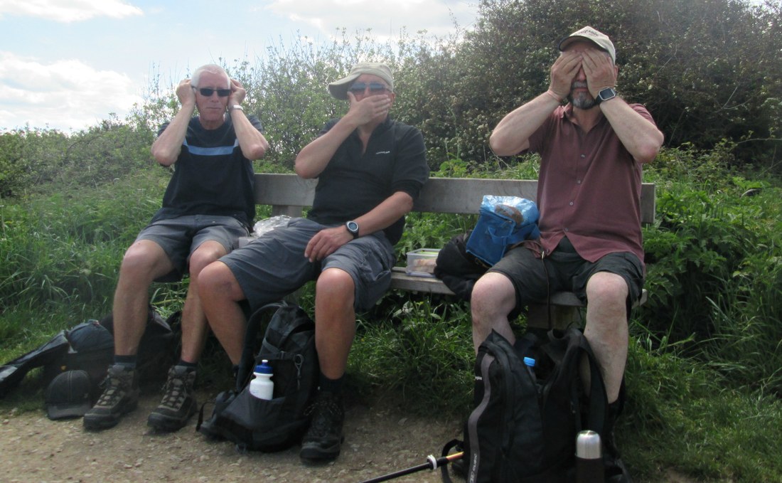
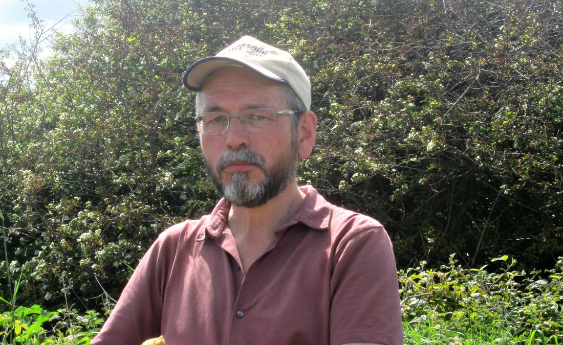
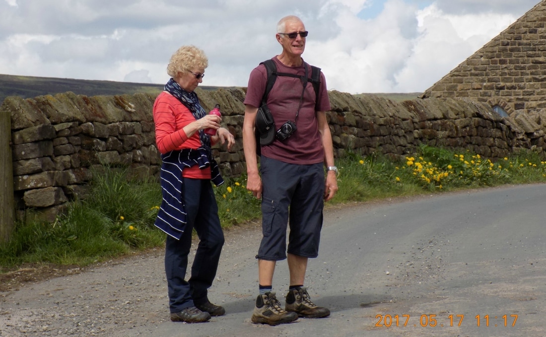
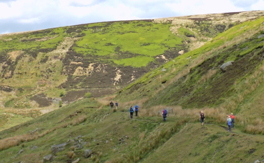
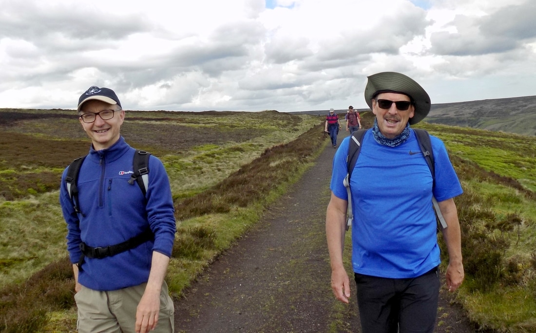
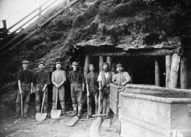
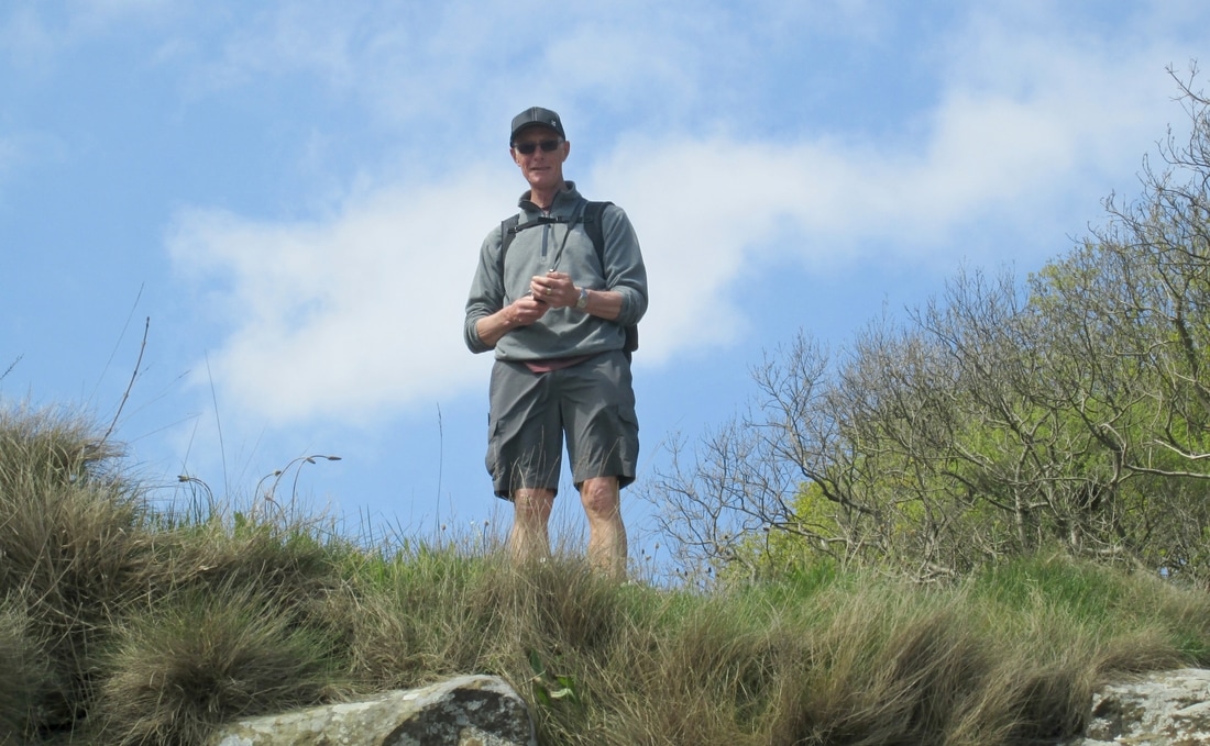
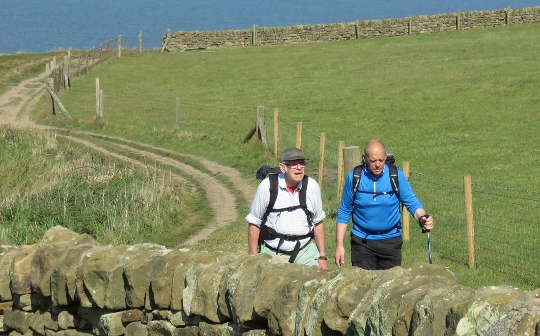
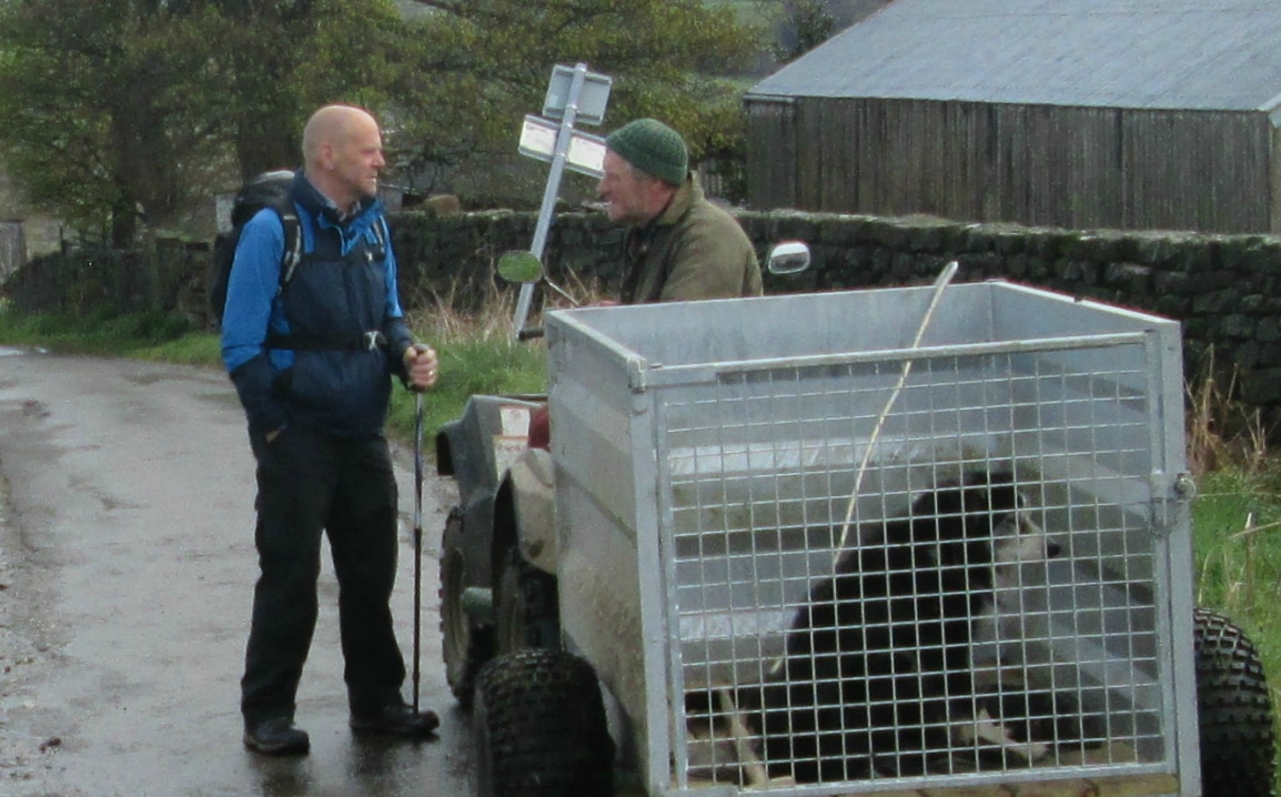
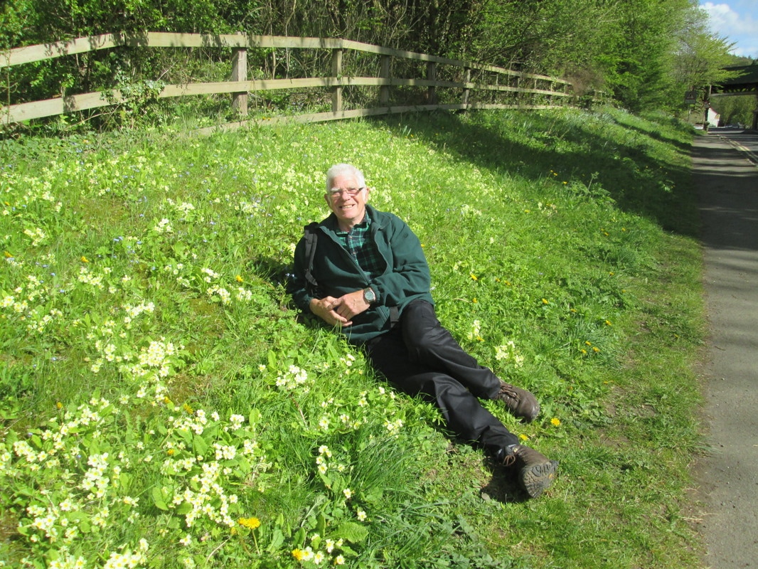
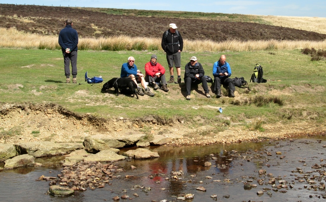
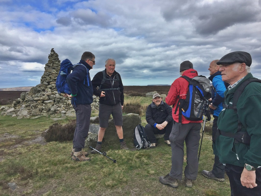
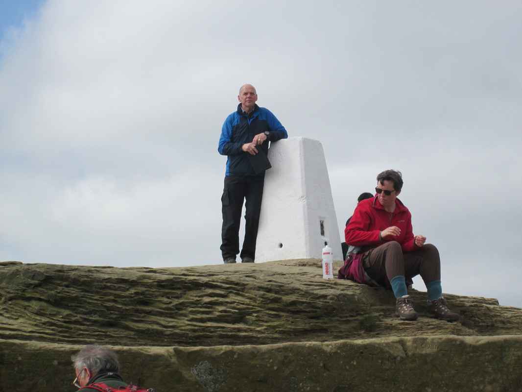
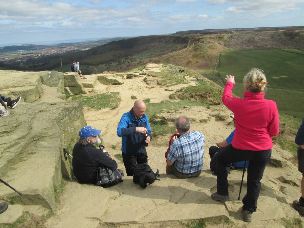
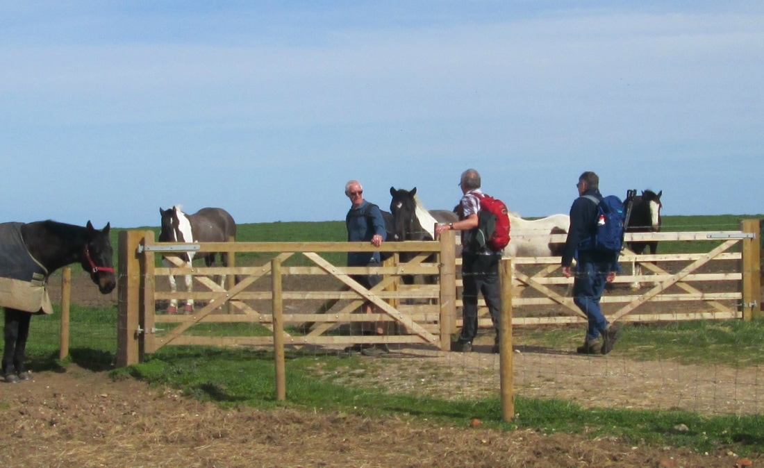
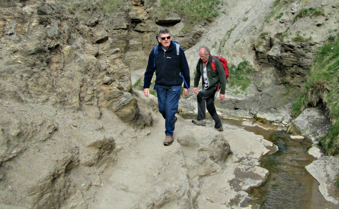
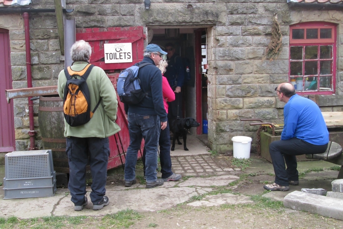
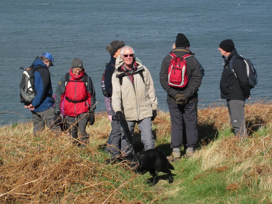
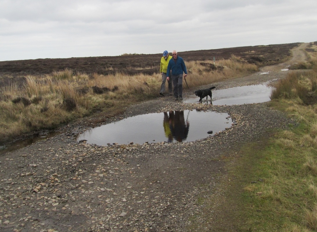
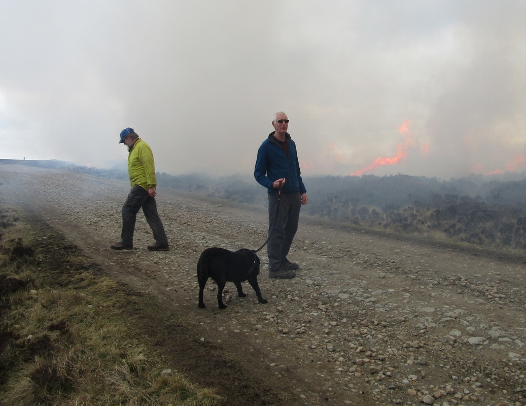
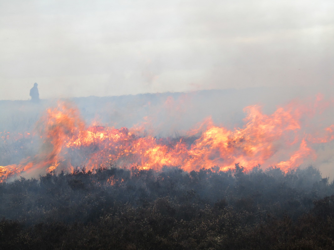
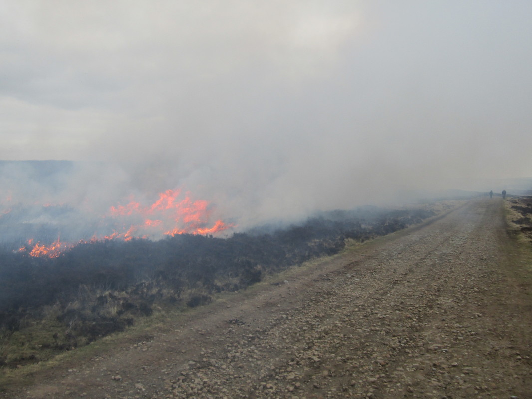
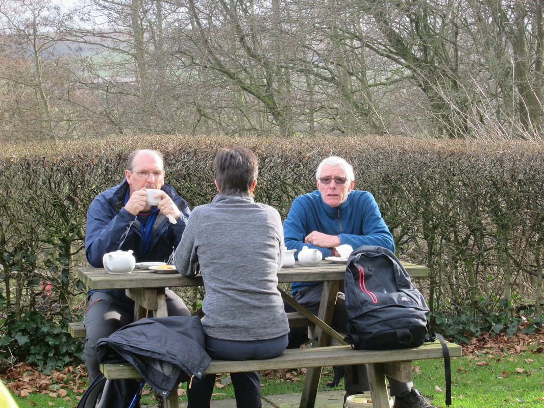
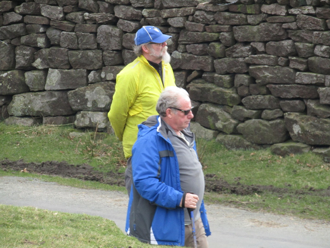
Bernie & Pete, both ex miners taking a break.
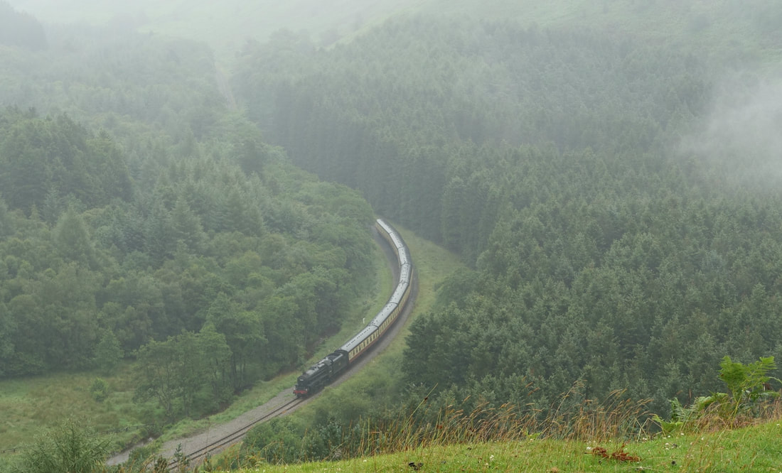
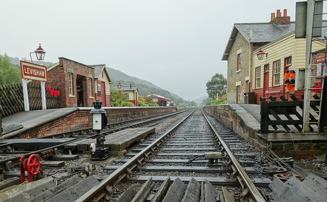
Levisham Moor Circuit 24/7/17
Distance 8.5 miles
Total ascent 1,120
Weather Dismal, light rain.
Difficulty Moderate mainly due to weather.
Total ascent 1,120
Weather Dismal, light rain.
Difficulty Moderate mainly due to weather.
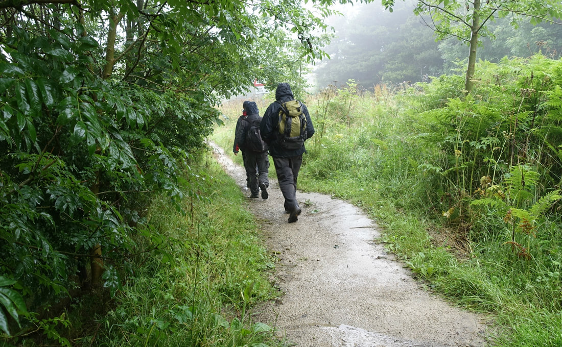
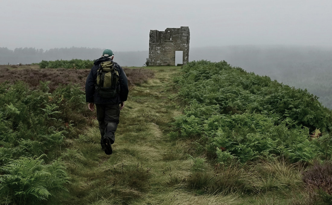
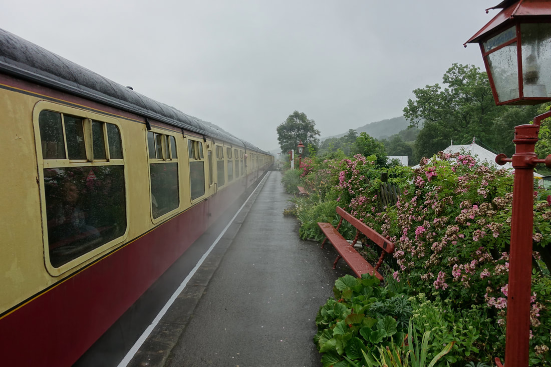
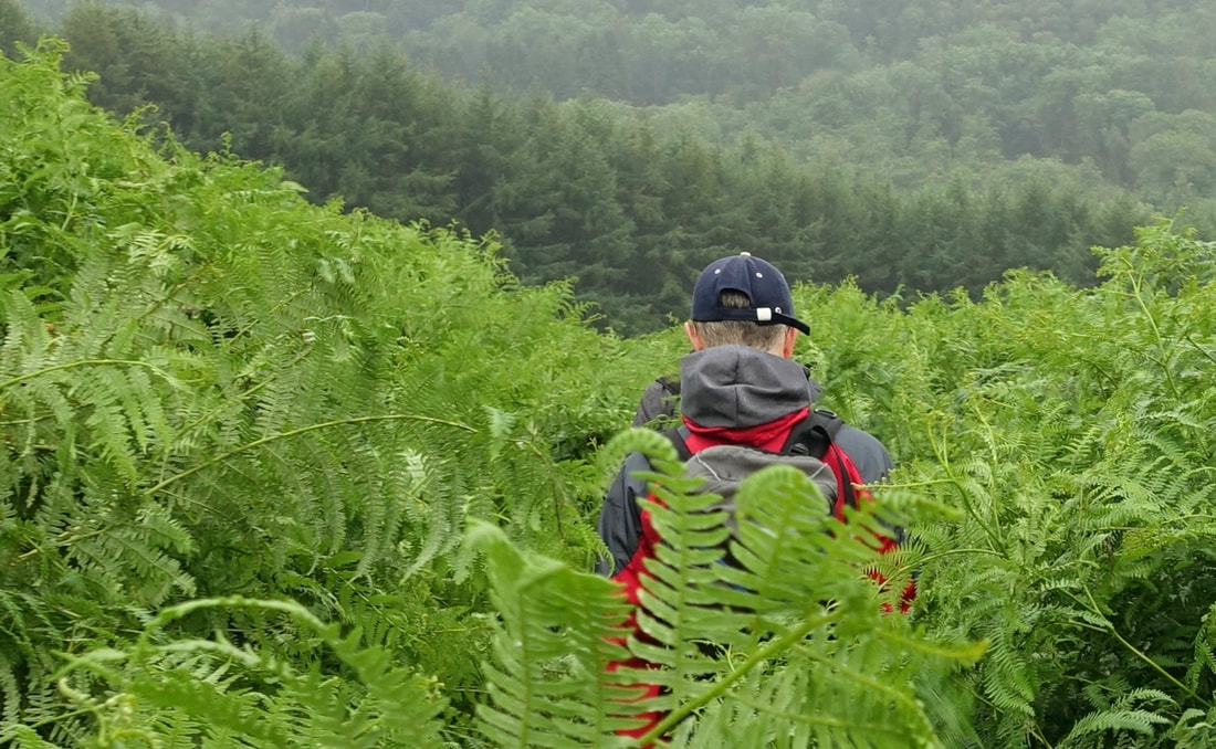
Four of us braved a misty drizzly morning to walk from Saltergate Car Park, along Levisham Bottoms to Skelton Tower where we paused for photos before continuing to Levisham Station. After a short break for lunch we set out for the Hole of Horcum by way of Dundale Pond and Dundale Griff before returning to the car park in a very wet and bedraggled state.
The photos below were taken by myself, Mal, and Nigel.
The photos below were taken by myself, Mal, and Nigel.
Goathland circuit
Please click on images to view
West Highland Way 1/6/17 to 8/5/17
Please visit my other site at
www.ogres-on-the-west-highland-way.weebly.com
www.ogres-on-the-west-highland-way.weebly.com
Loftus to Whitby 22/5/17
Distance 16.5 miles
Total Climbing 2049
Weather Fine & sunny
Difficulty Easy
This was our last walk before leaving for the West Highland way next week and chose this route for the third time because one of our group is an expectant Grandpa and may have been called home at any time. We were joined for the day by a new member, 'Nigel' Not much else to say really other than we all enjoyed our outing again.
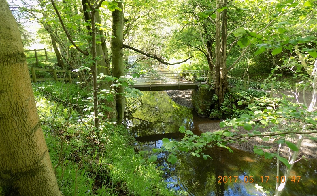
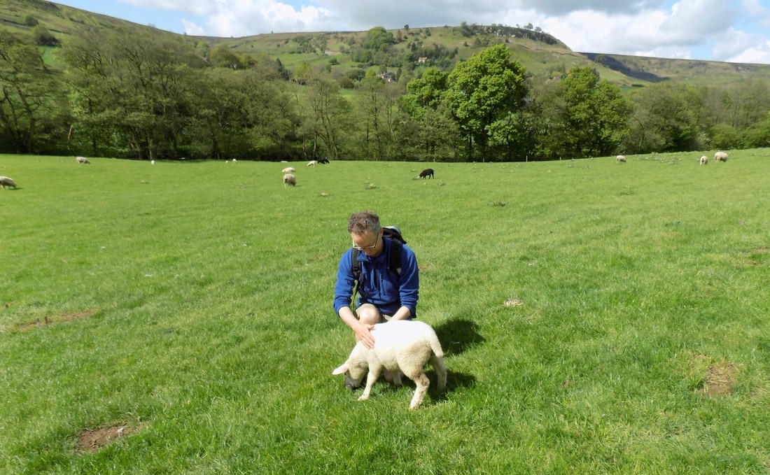
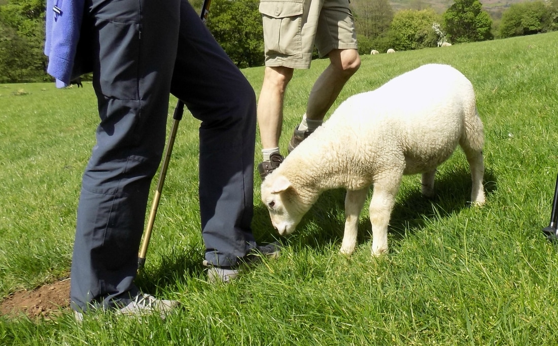
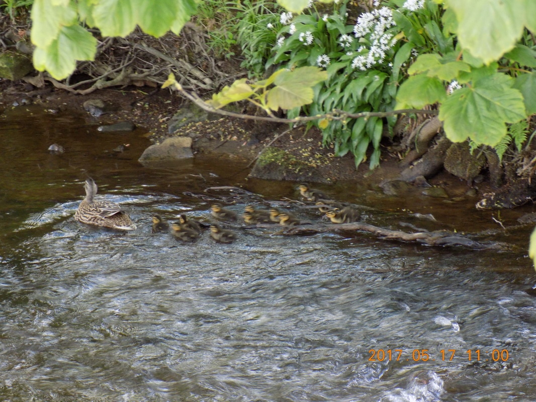
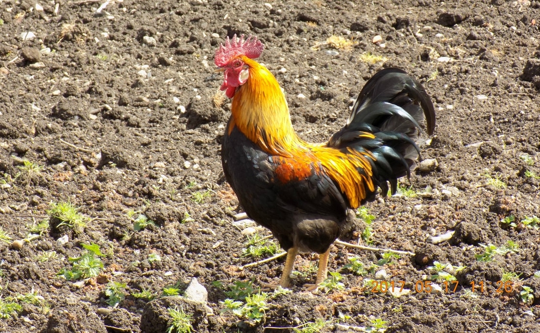
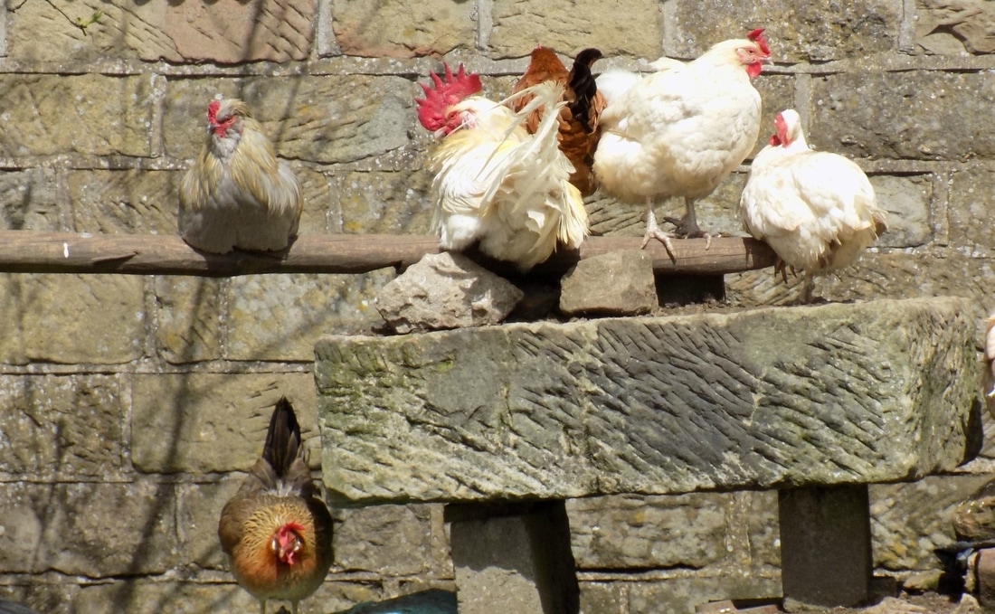
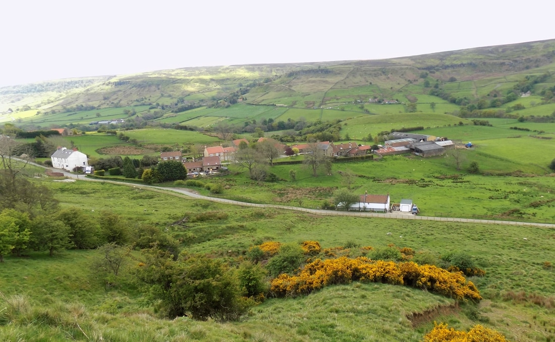
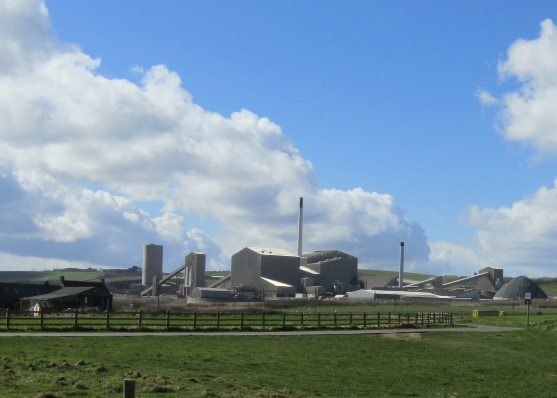
Rosedale 18/5/17
Distance 16.7 miles
Total Climbing 1,750 ft
Weather Mainly sunny with some cloud
Difficulty Easy
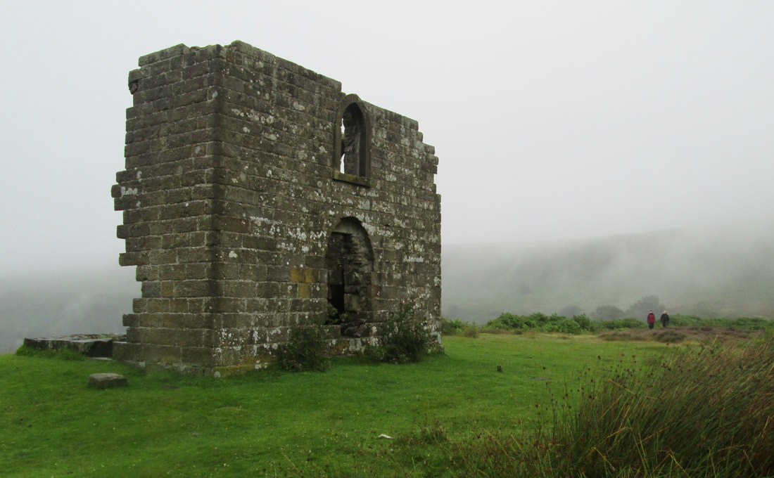
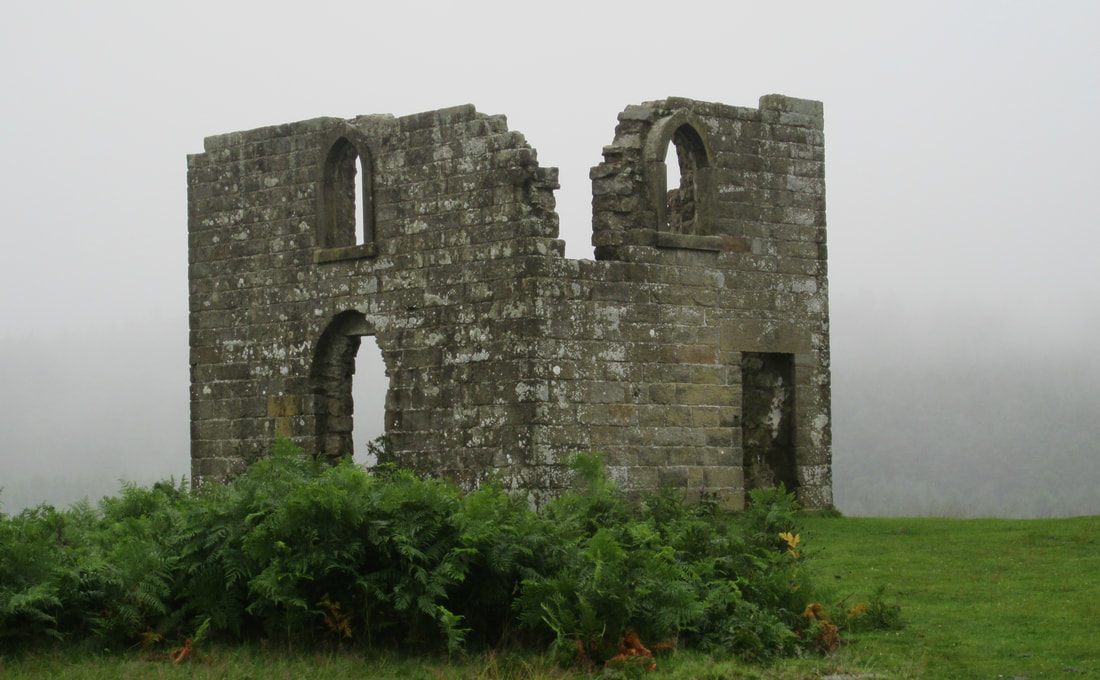
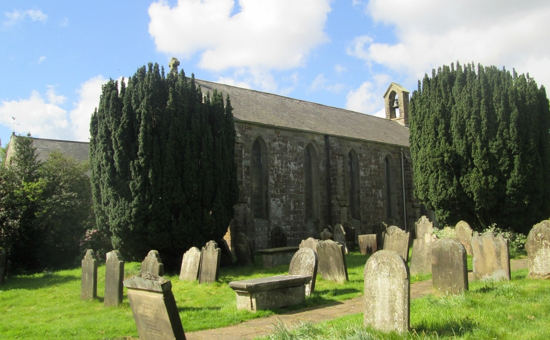
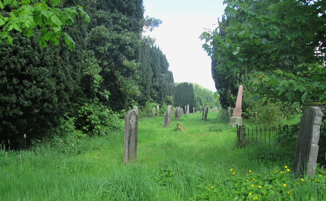
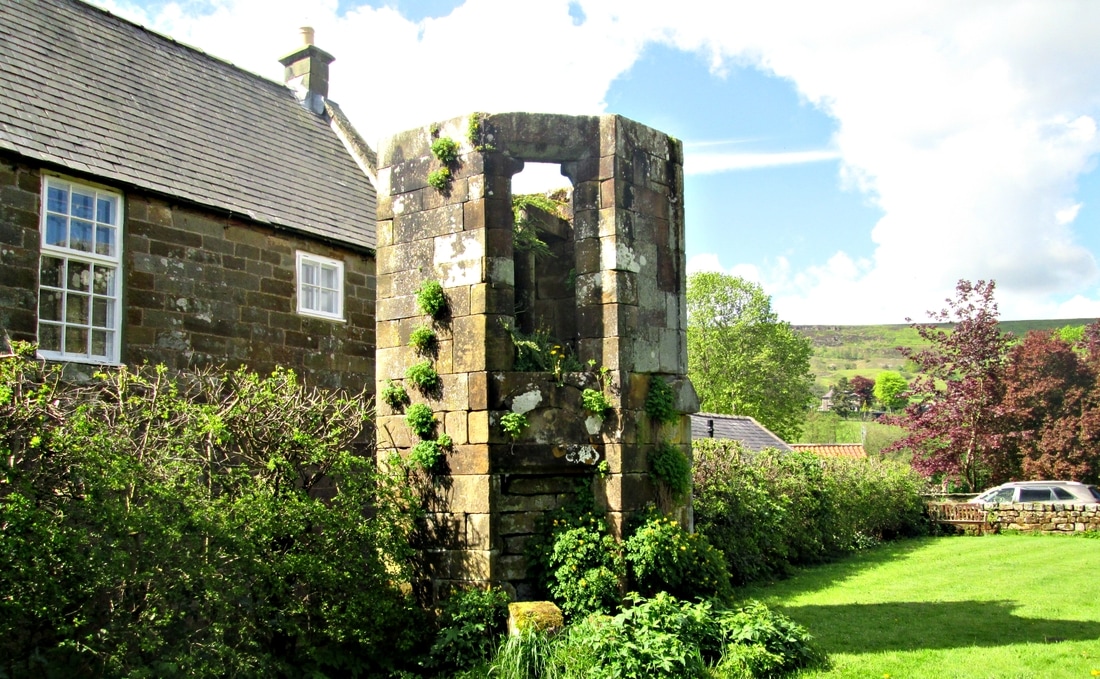
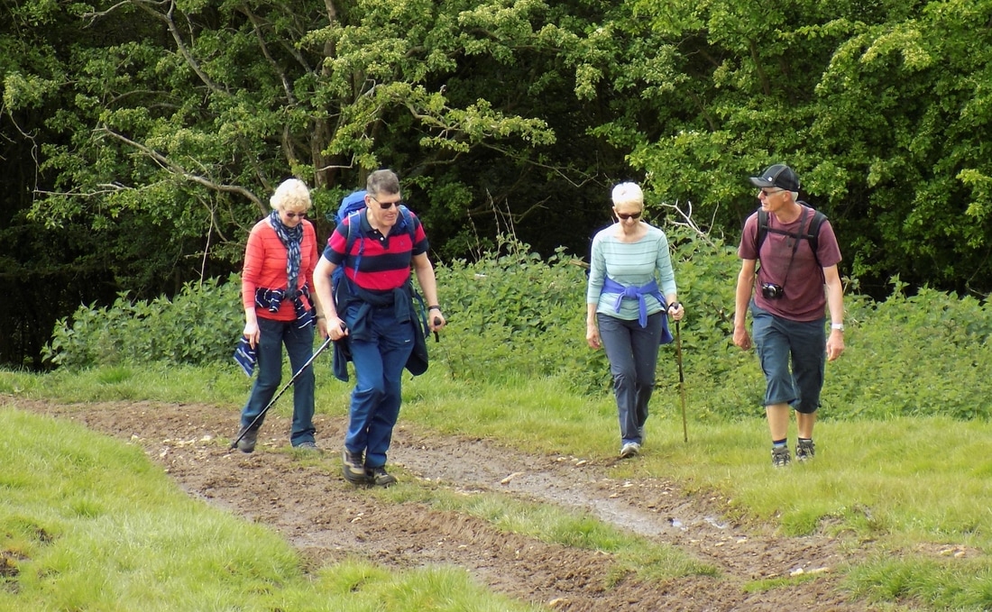
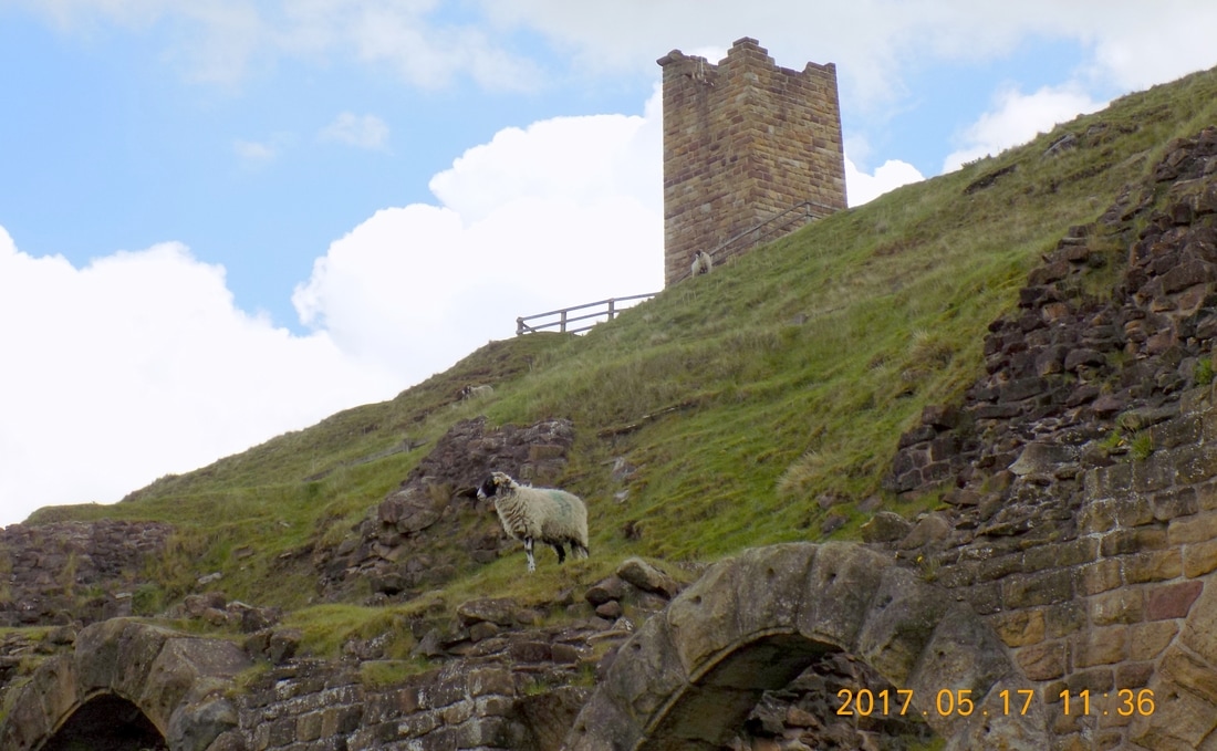
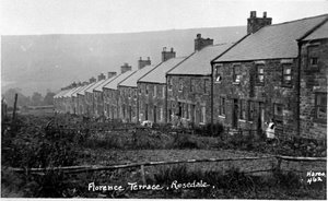
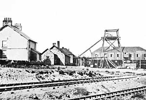
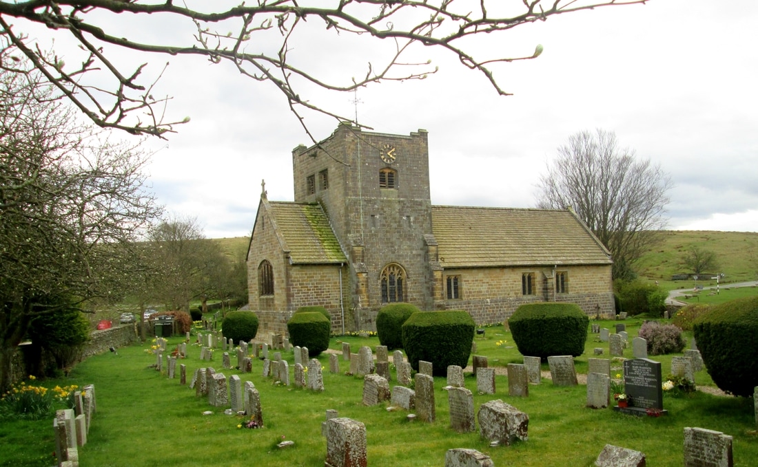
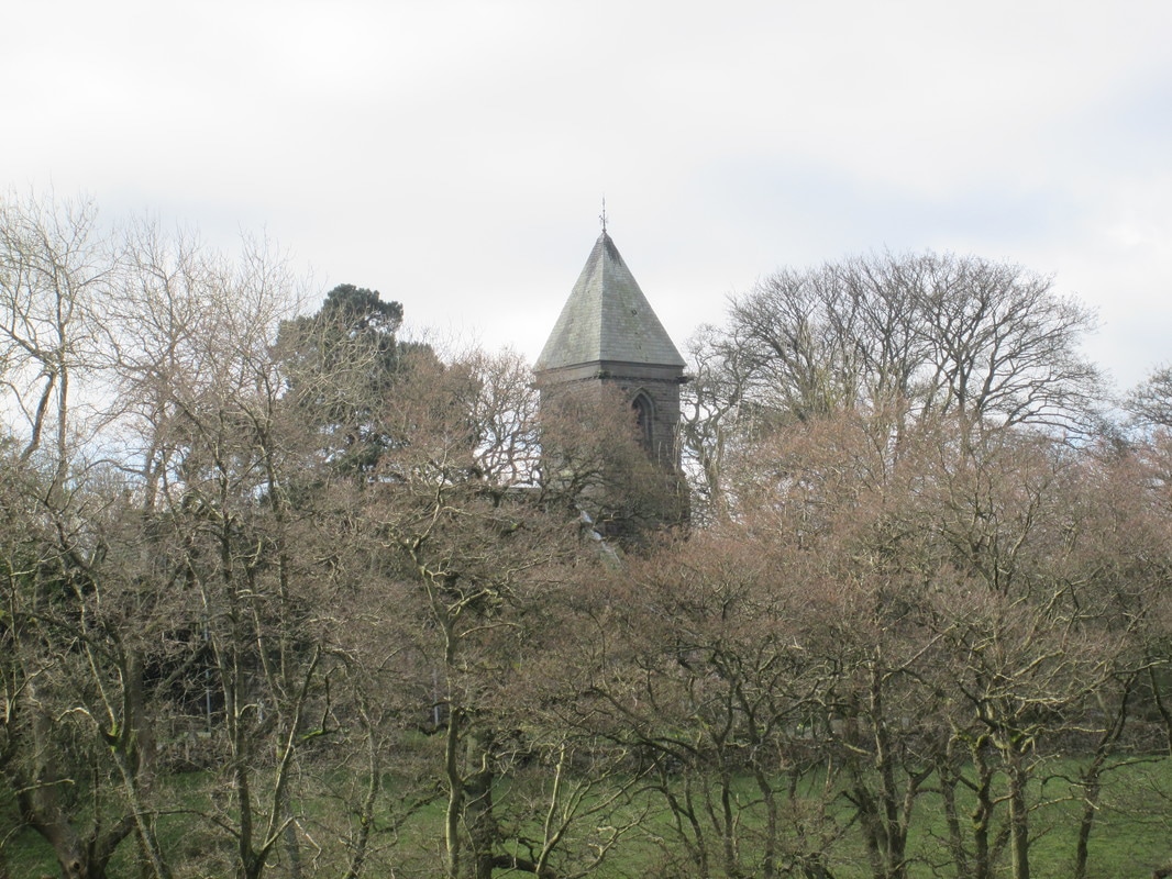
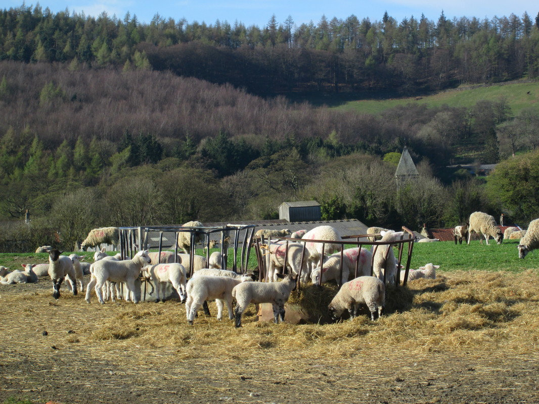
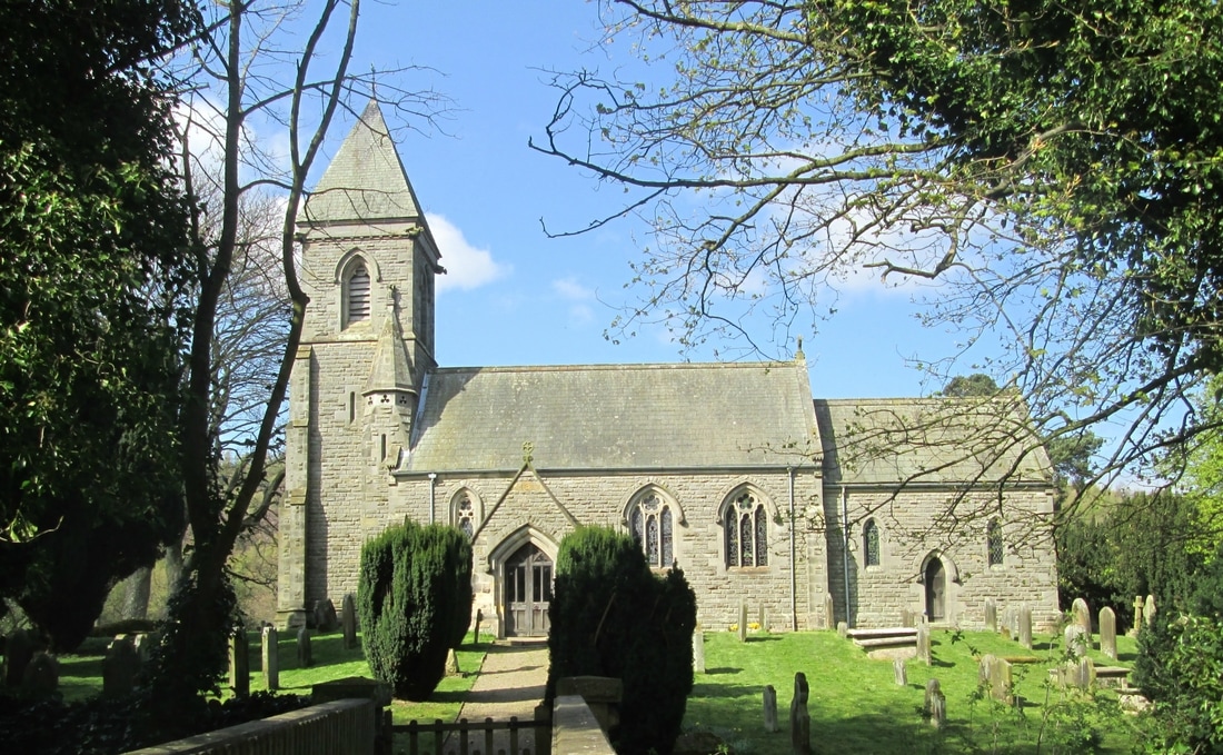
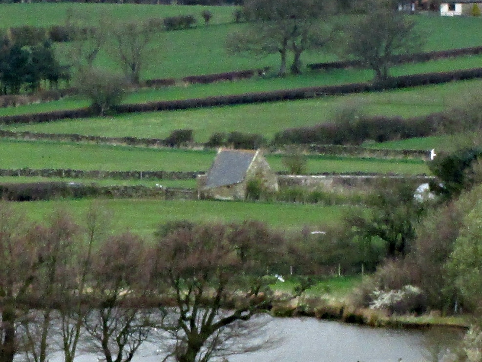
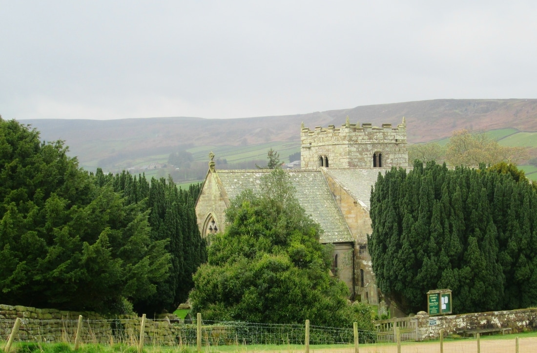
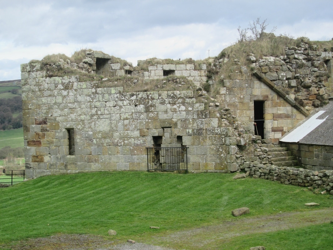
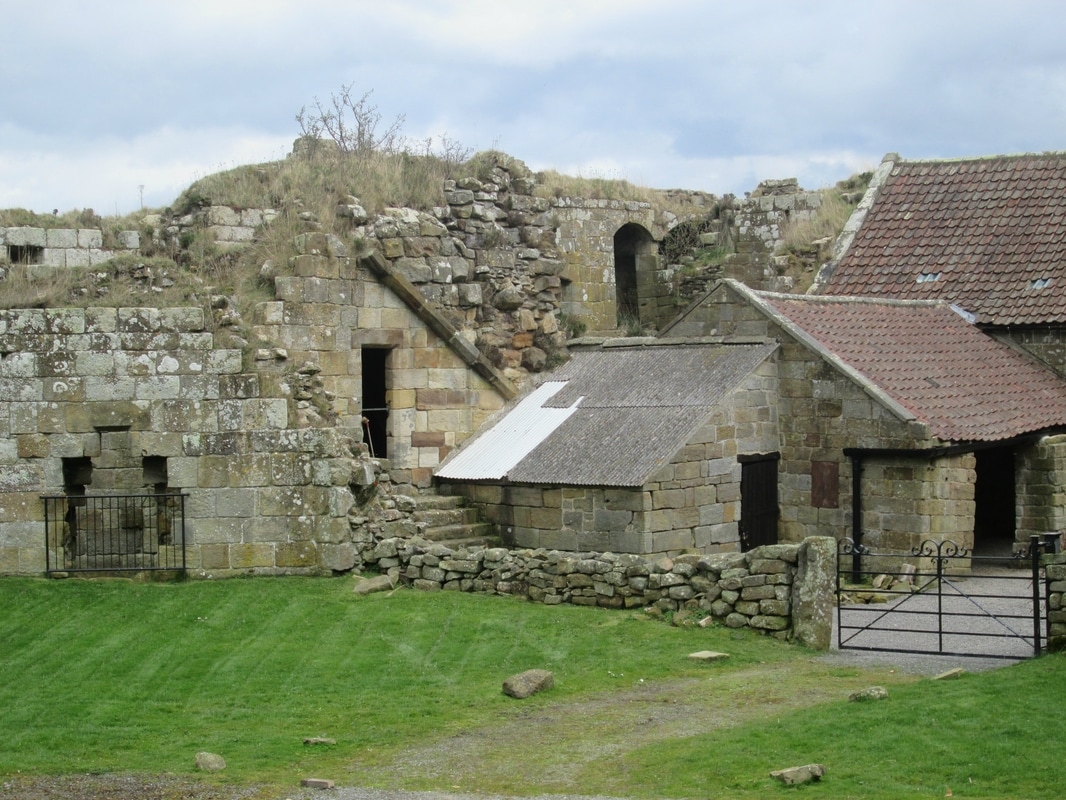
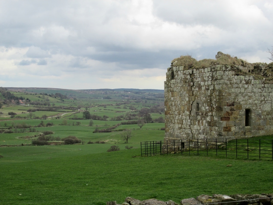
Rosedale is a place that I always enjoy visiting. The Dale takes its name from the Norse 'Rhos' which means 'moor'. The village, Rosedale Abbey, takes its name from an abbey which existed from 1158 to 1535 and was home to around 10 nuns. Very little survives of the priory, the church of St Mary & St Lawrence is built on the foundations of the chapel and the remains of a turret stand nearby.
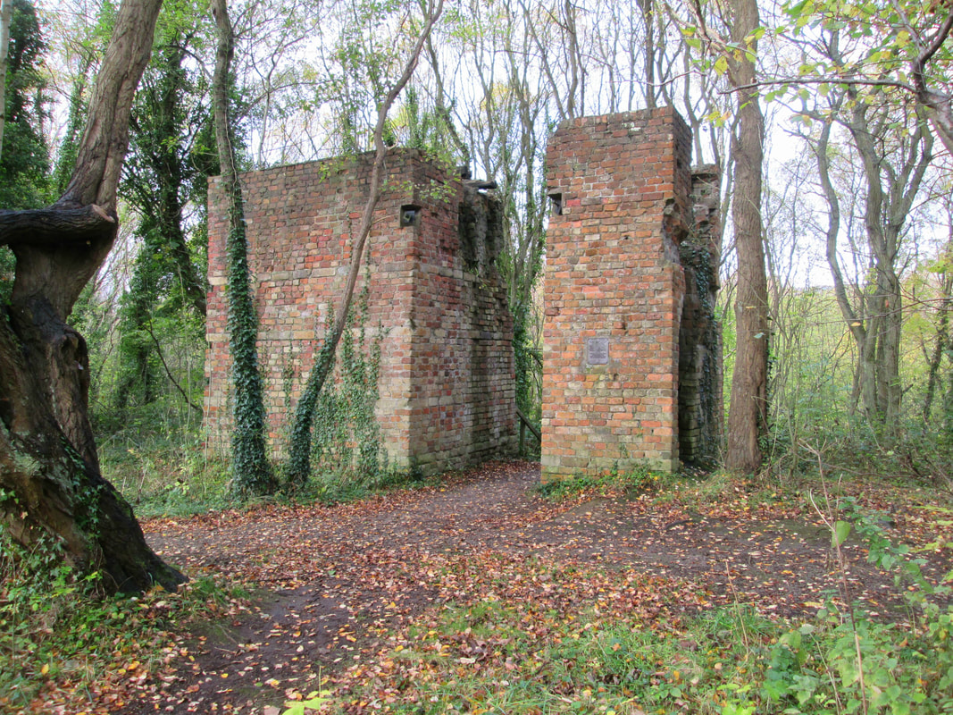
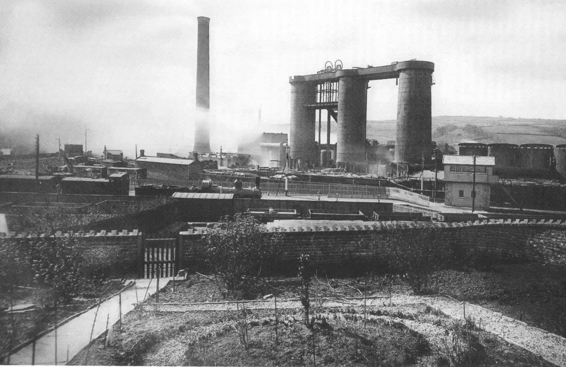
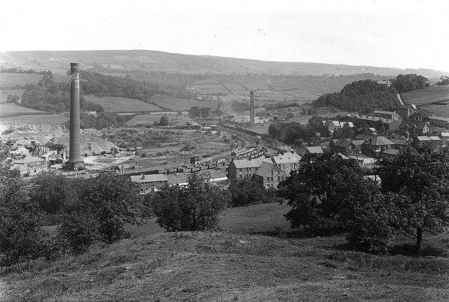
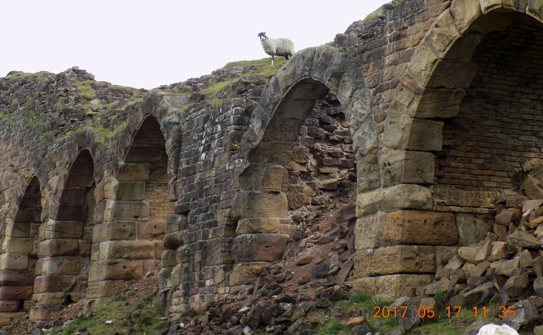
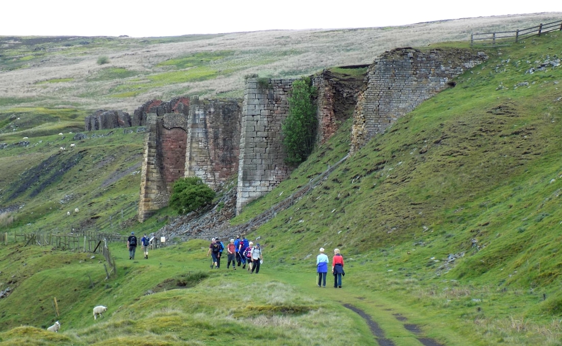
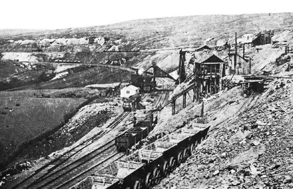
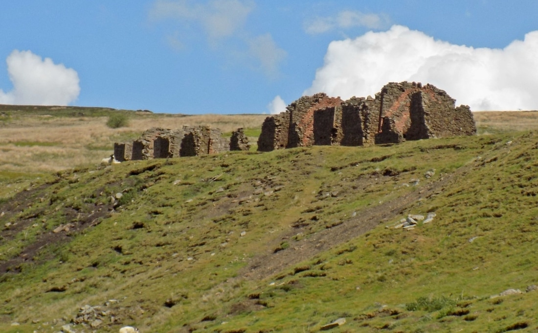
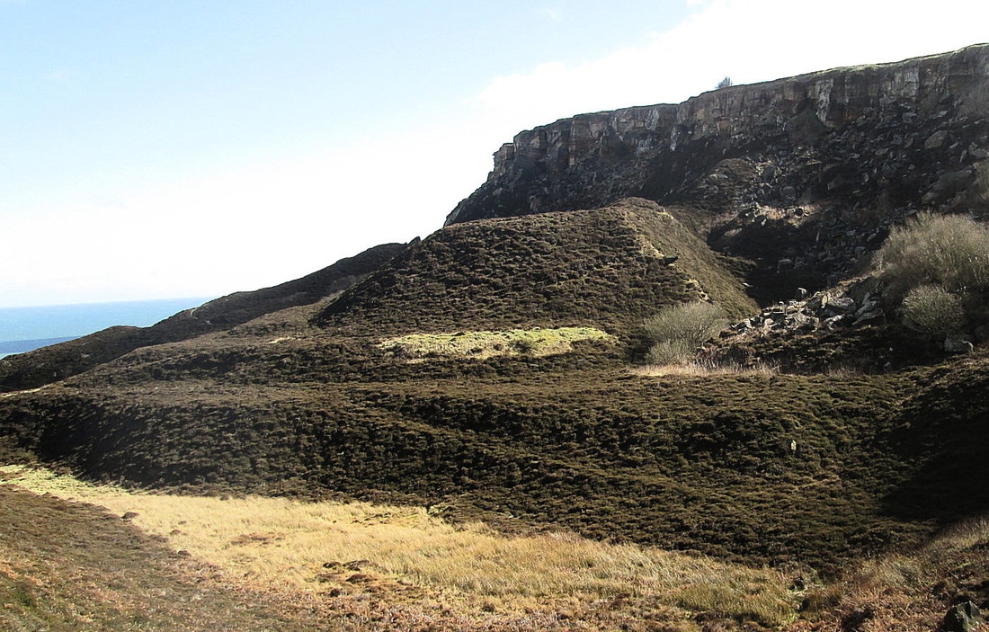
Although peaceful now, during the latter part of the 19th and early part of the 20 centuries the valley was a hive of industrial activity as the ironstone in the area was mined. During this period the population rose from 373 in 1851 to 2,041 in 1871. At its peak, over 400 men were employed in the industry, many of them had to walk fore miles over the moors to get to and from work.
Now all that has gone but the remains abound for those with an interest to visit.
Total Climbing 1,750 ft
Weather Mainly sunny with some cloud
Difficulty Easy
Rosedale is a place that I always enjoy visiting. The Dale takes its name from the Norse 'Rhos' which means 'moor'. The village, Rosedale Abbey, takes its name from an abbey which existed from 1158 to 1535 and was home to around 10 nuns. Very little survives of the priory, the church of St Mary & St Lawrence is built on the foundations of the chapel and the remains of a turret stand nearby.
Although peaceful now, during the latter part of the 19th and early part of the 20 centuries the valley was a hive of industrial activity as the ironstone in the area was mined. During this period the population rose from 373 in 1851 to 2,041 in 1871. At its peak, over 400 men were employed in the industry, many of them had to walk fore miles over the moors to get to and from work.
Now all that has gone but the remains abound for those with an interest to visit.
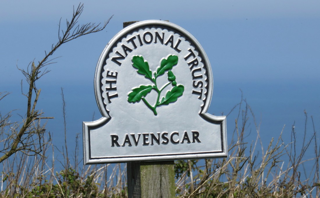
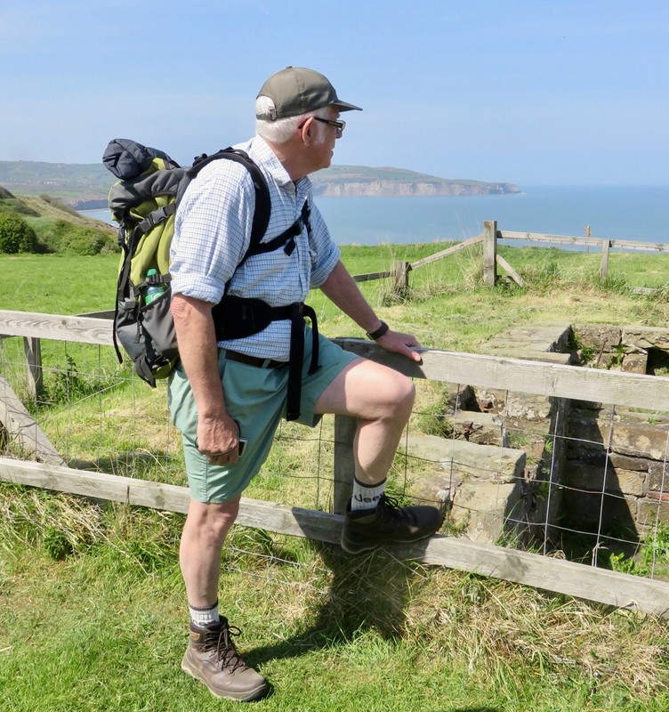
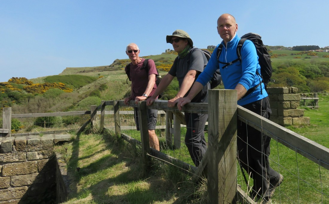
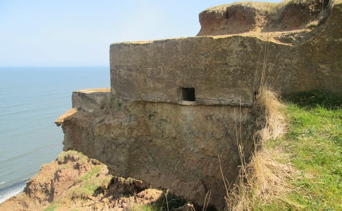
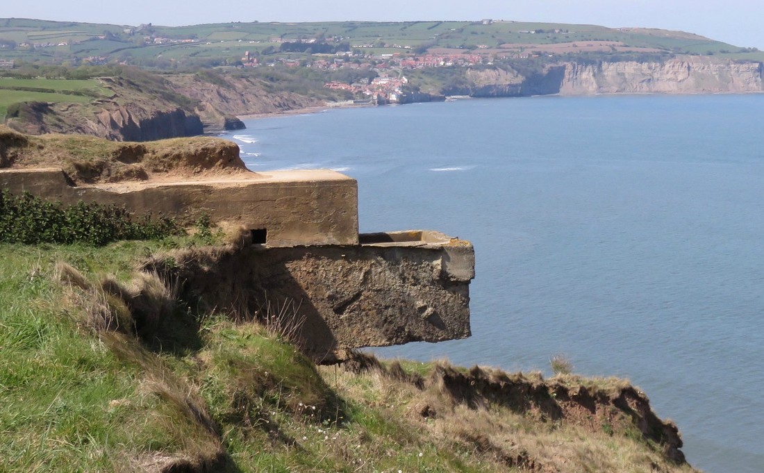
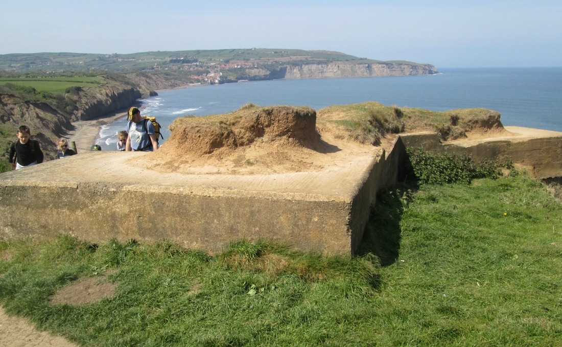
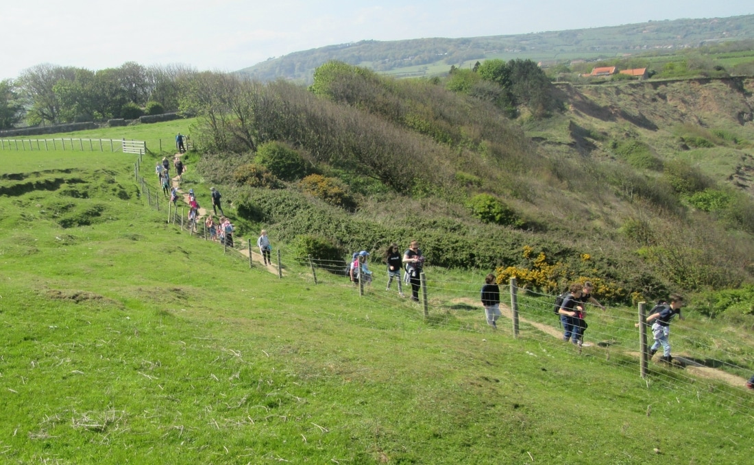
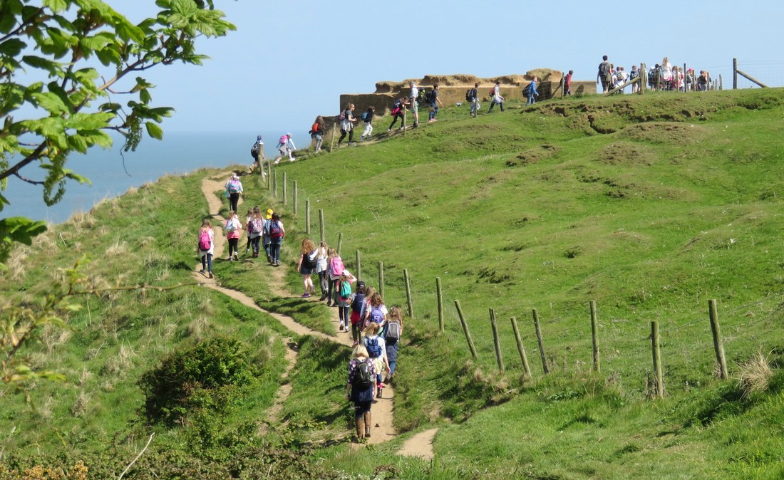
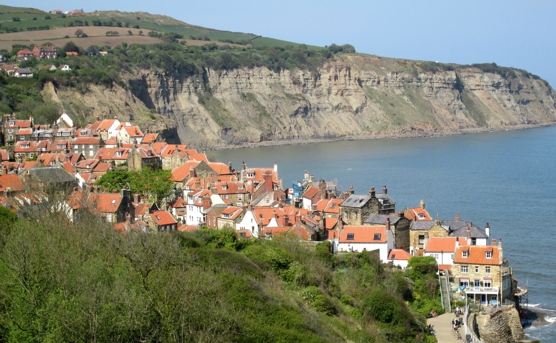
Cloughton to Whitby 11/5/17
Distance 17.3 miles
Total Climbing 3,318ft
Weather Bright & Sunny
Difficulty Moderate
blisters 1
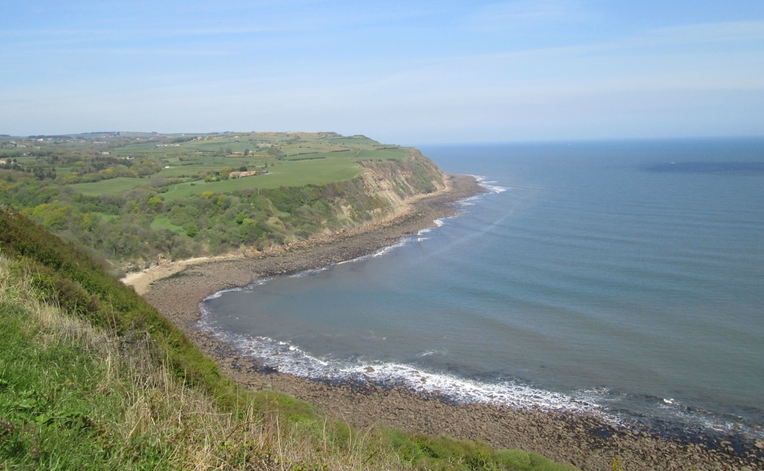
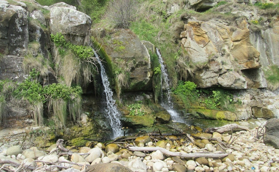
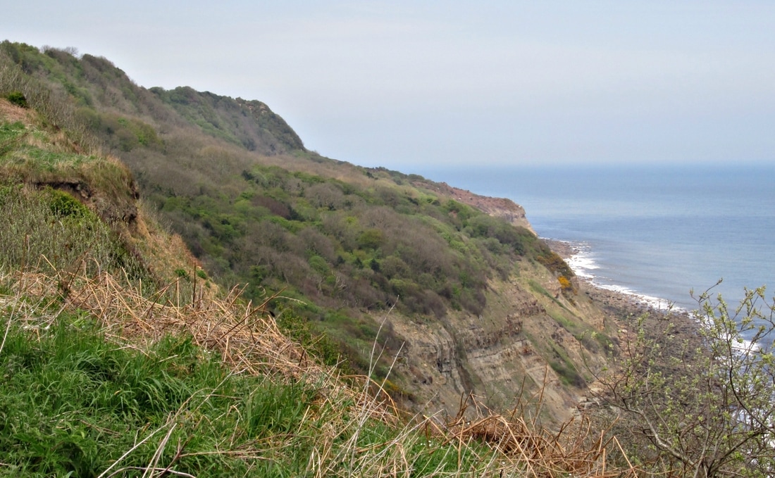
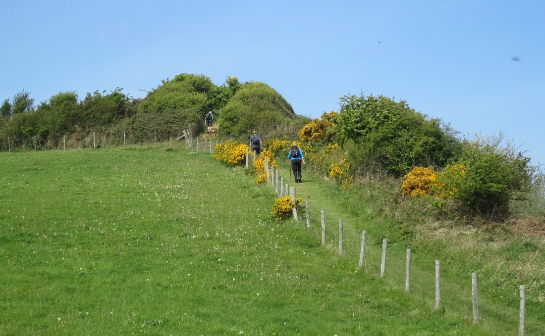
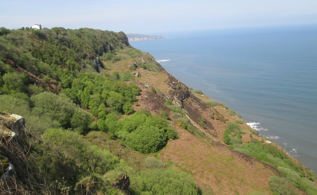
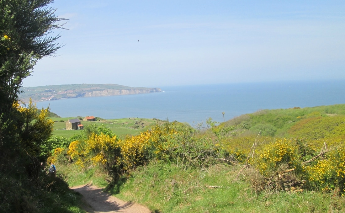
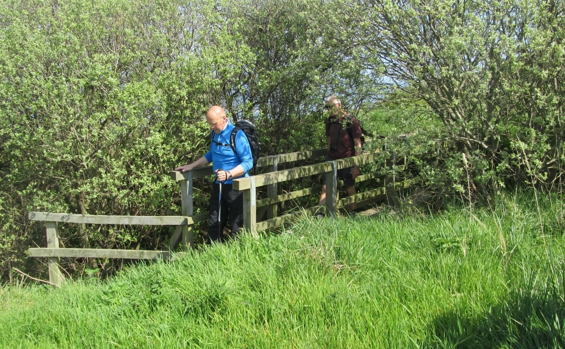
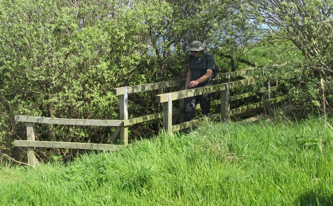
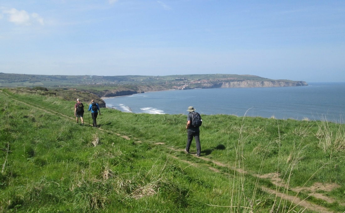
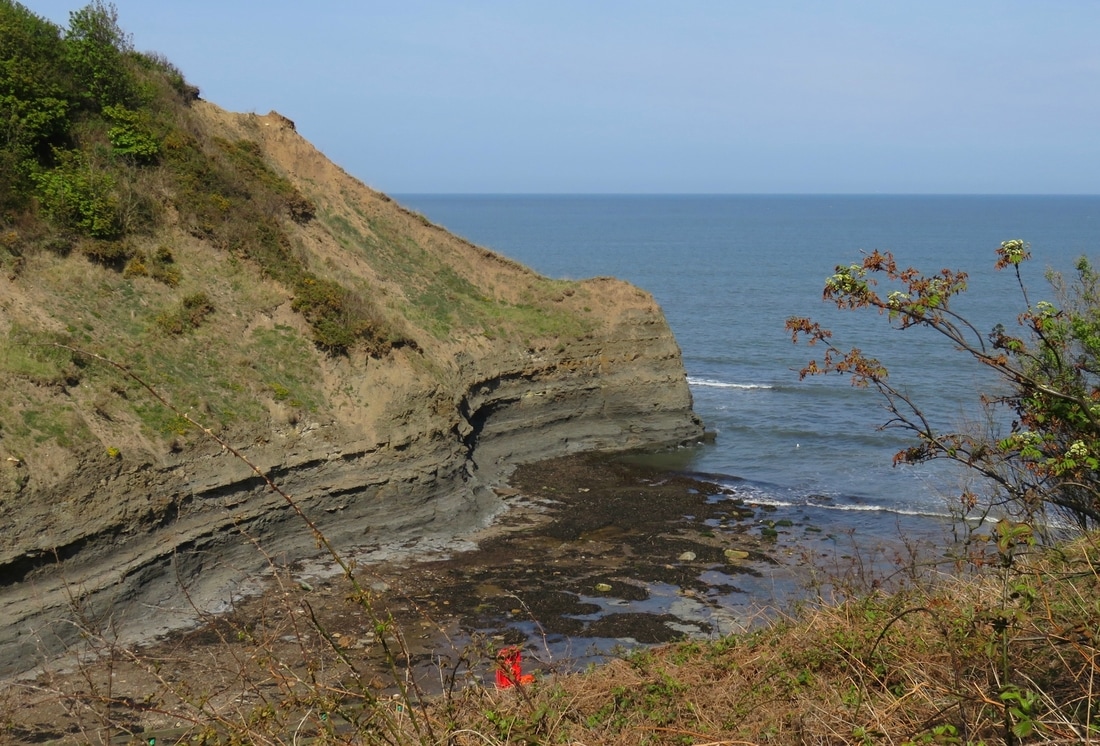
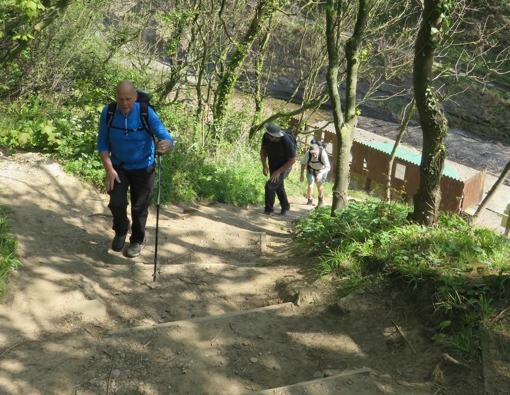
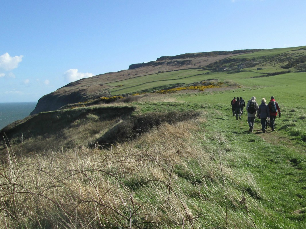
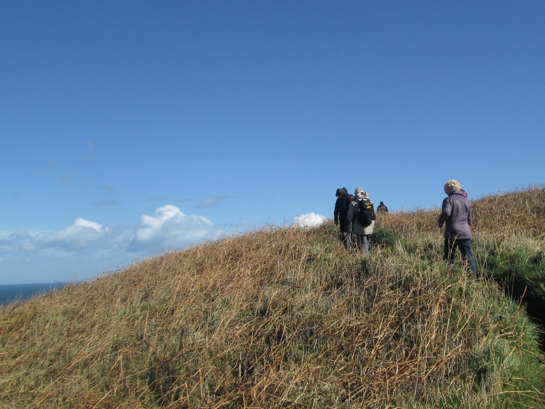
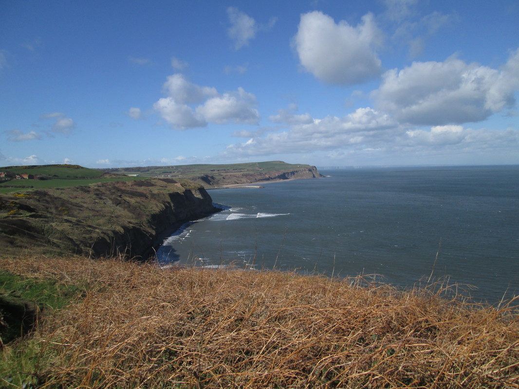
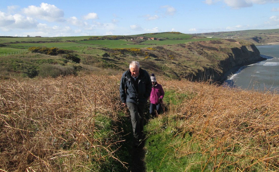
For a change we caught a bus to our starting point opposite the Red Lion at Cloughton. Only four of us set out, Myself, Mal, Bernie, and Pete who was leaving us at Robin Hoods Bay. This was to be the first time that I walked the section between Cloughton and Ravenscar for 20 years or more and I think I heard Mal say that he had not walked it at all. I think we all enjoyed our walk which was only marred for me with developing the first blister that I can remember. I have just bought a new pair of boots and it seems that I need to break them in, normally I never have any bother.
Some of the photos below were taken by Mal.
Total Climbing 3,318ft
Weather Bright & Sunny
Difficulty Moderate
blisters 1
For a change we caught a bus to our starting point opposite the Red Lion at Cloughton. Only four of us set out, Myself, Mal, Bernie, and Pete who was leaving us at Robin Hoods Bay. This was to be the first time that I walked the section between Cloughton and Ravenscar for 20 years or more and I think I heard Mal say that he had not walked it at all. I think we all enjoyed our walk which was only marred for me with developing the first blister that I can remember. I have just bought a new pair of boots and it seems that I need to break them in, normally I never have any bother.
Some of the photos below were taken by Mal.
Glaisdale Grosmont Circuit 24/4/17
Distance 19 miles
Total climbing 2353ft
Weather Couldnt make up its mind.
Difficulty Mainly easy but with a fair amount of road walking
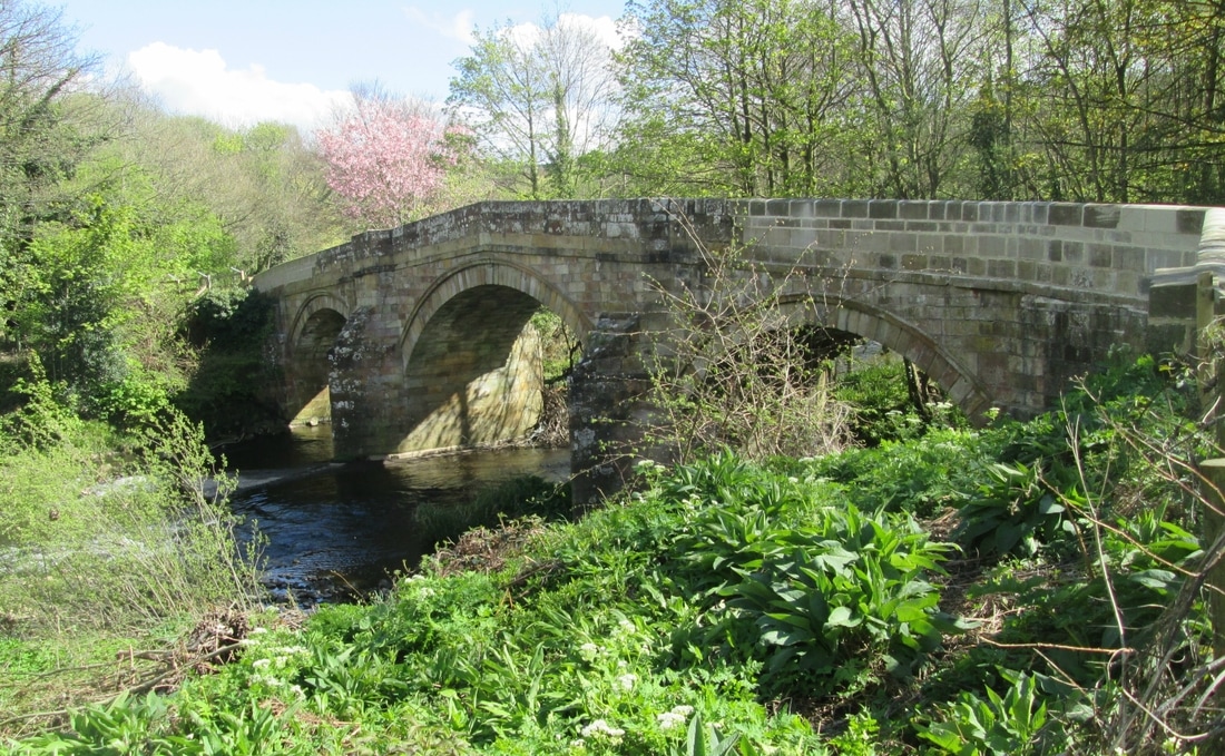
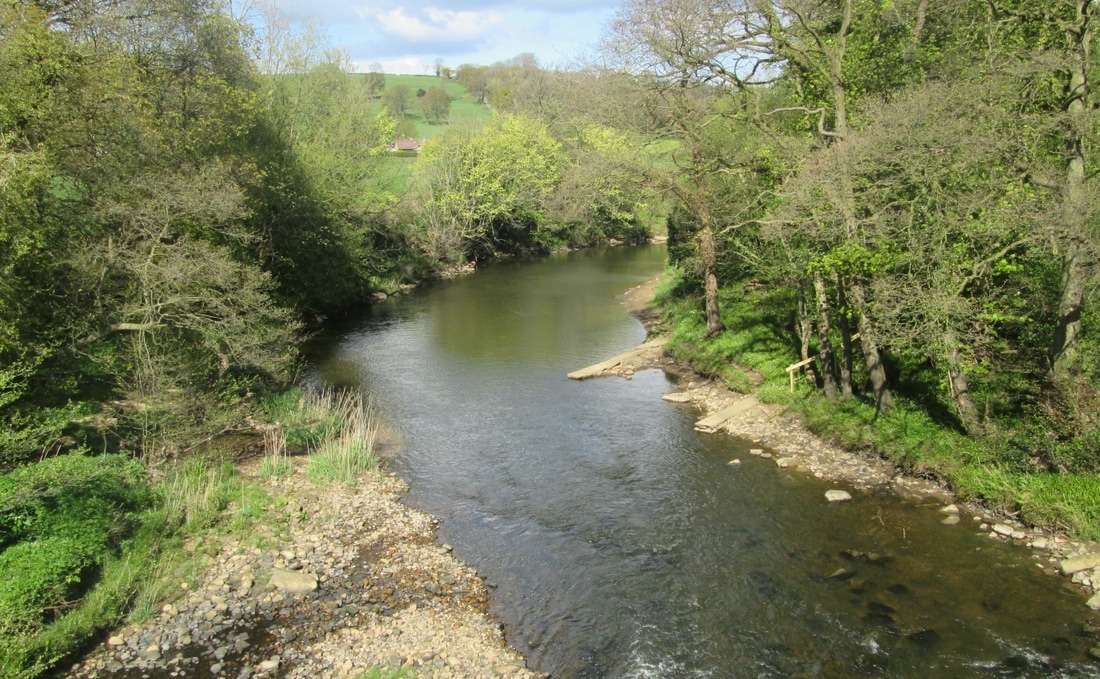
Another good walk to help prepare for the West Highland Way. After leaving the cars in Glaisdale village we climbed up to Glaisdale Moor along the Rigg before following the road to Caper Hill. we then made our way back to Glaisdale via Gill Beck Farms etc. We had our lunch by the war memorial before setting off to Grosmont via Arncliff Woods & Egton Bridge, then on to Esk Valley. We competed the circuit by way of Delves.
Total climbing 2353ft
Weather Couldnt make up its mind.
Difficulty Mainly easy but with a fair amount of road walking
Another good walk to help prepare for the West Highland Way. After leaving the cars in Glaisdale village we climbed up to Glaisdale Moor along the Rigg before following the road to Caper Hill. we then made our way back to Glaisdale via Gill Beck Farms etc. We had our lunch by the war memorial before setting off to Grosmont via Arncliff Woods & Egton Bridge, then on to Esk Valley. We competed the circuit by way of Delves.
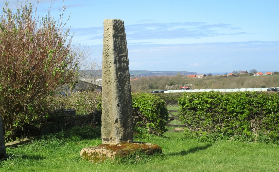
Littlebeck - Lilla Cross Circuit 20/4/17
Distance 13.8 miles
Total Climbing 1879 ft
Weather Cool and overcast at first, Brighter later.
Difficulty Mostly easy but one or two places were a little more difficult
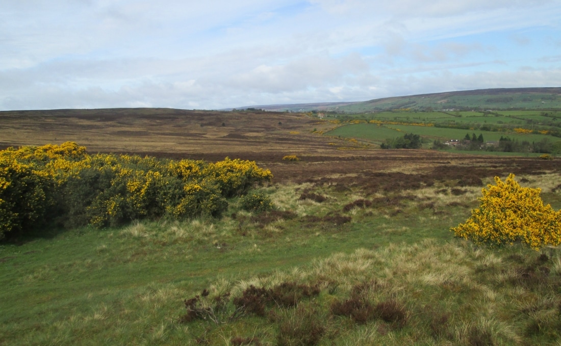
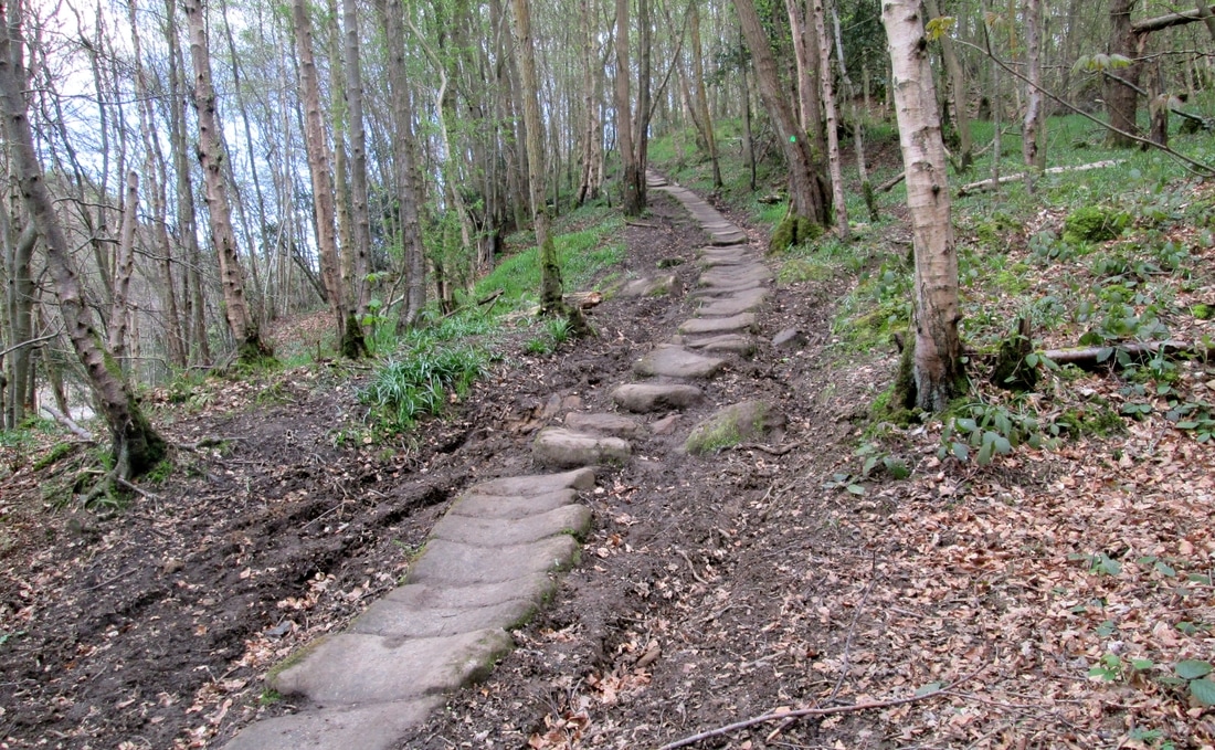
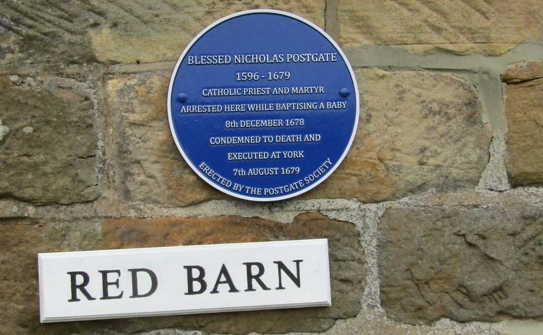
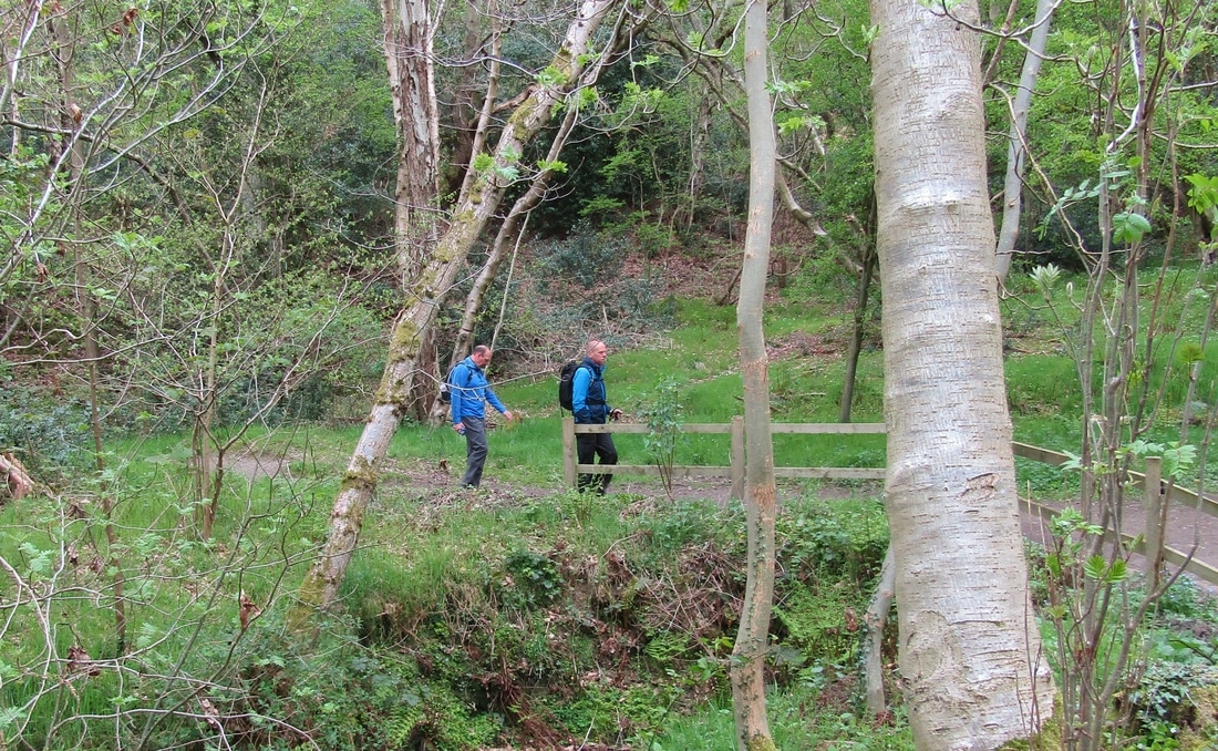
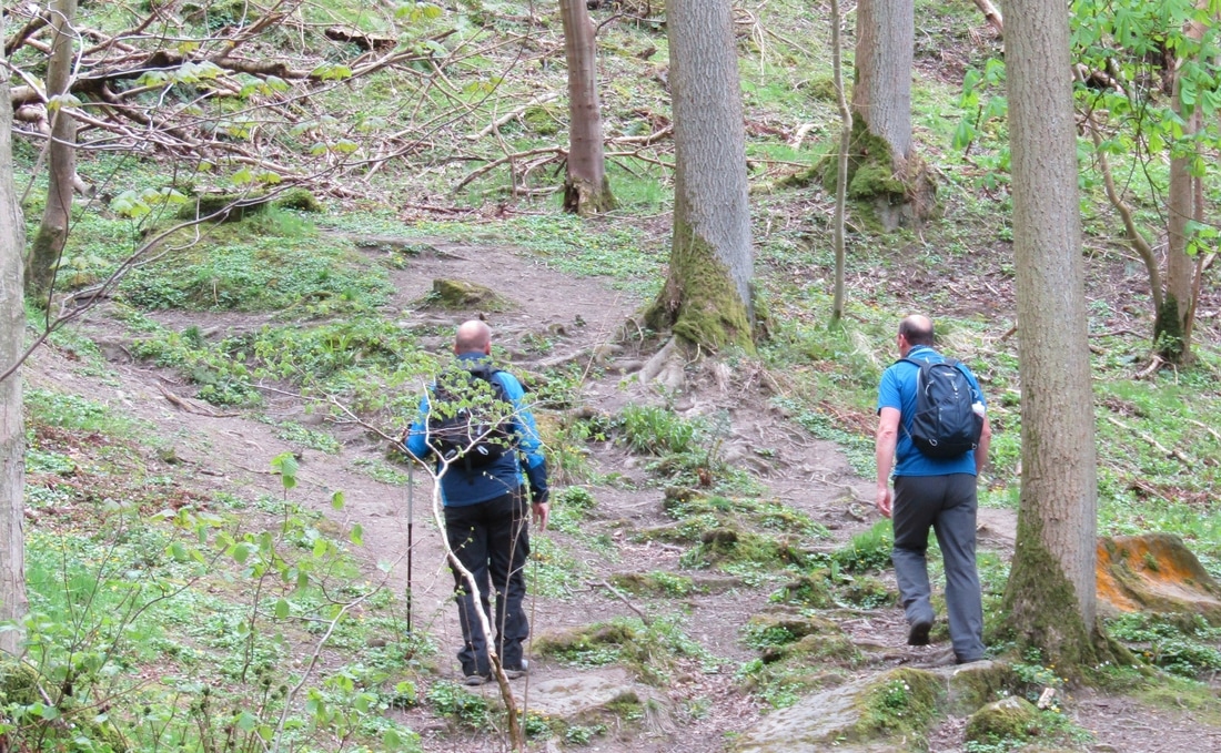
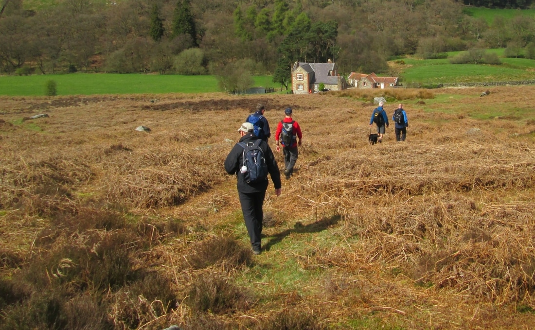
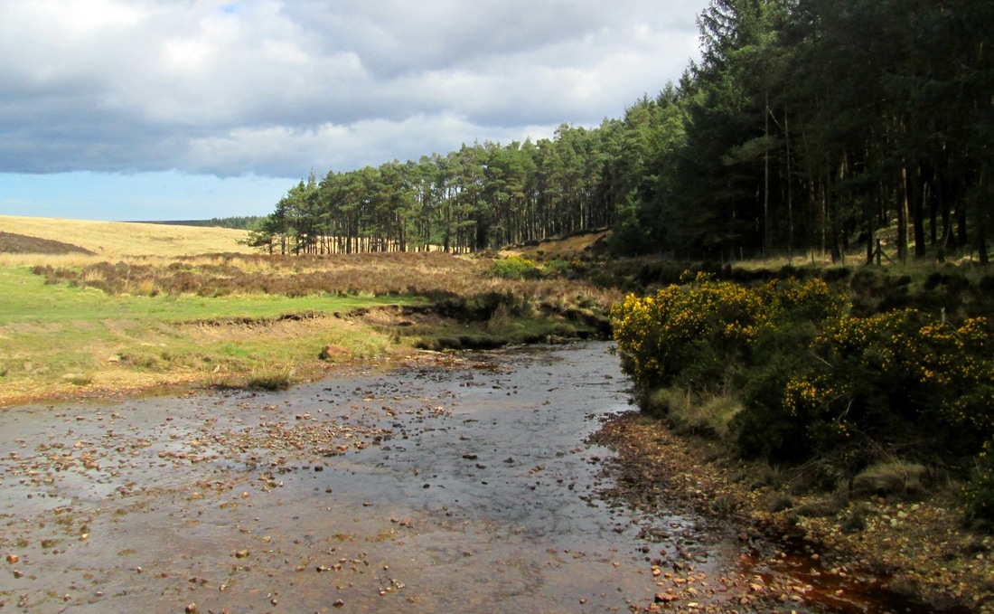
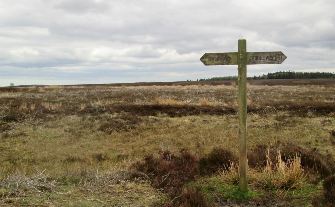
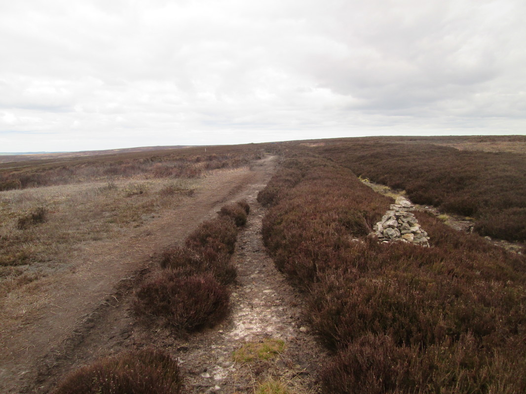
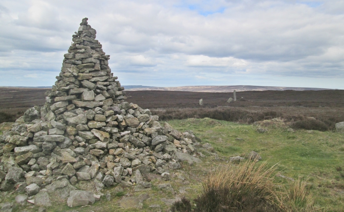
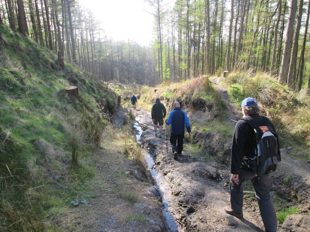
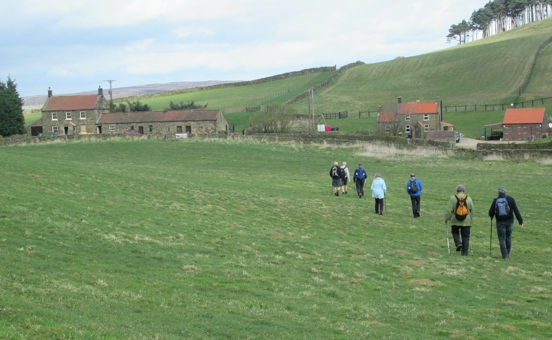
After parking near Lound House near Sneaton, we followed the lane down into Littlebeck and joined the Coast to Coast footpath through the woods to May Becks car park where we partook of an ice cream from the Beacon Farm van which parks there throughout the summer. From there our route followed the forestry access road up to Louven Howe and Lilla Cross on Fylingdales Moor. As we walked we could not help noticing that quite a few trees had been harvested, leaving large areas of what looks like a scene from the first world war,but no doubt it will be either replanted or allowed to regenerate given time. After a picnic lunch we made our way back to the car by way of Fylingdales Moor to New May Beck Farm, Lousy Lane, Moor House Farm, and then across to Dean Hall and on to the Car.
Total Climbing 1879 ft
Weather Cool and overcast at first, Brighter later.
Difficulty Mostly easy but one or two places were a little more difficult
After parking near Lound House near Sneaton, we followed the lane down into Littlebeck and joined the Coast to Coast footpath through the woods to May Becks car park where we partook of an ice cream from the Beacon Farm van which parks there throughout the summer. From there our route followed the forestry access road up to Louven Howe and Lilla Cross on Fylingdales Moor. As we walked we could not help noticing that quite a few trees had been harvested, leaving large areas of what looks like a scene from the first world war,but no doubt it will be either replanted or allowed to regenerate given time. After a picnic lunch we made our way back to the car by way of Fylingdales Moor to New May Beck Farm, Lousy Lane, Moor House Farm, and then across to Dean Hall and on to the Car.

Goathland -Simon Howe Circuit 13/4/17
Distance 10.4 miles
Total Climbing 787ft
Weather Bright start but overcast & cooler later
Difficulty Easy to Moderate
After meeting up with Michael and Geoff near the Mallyan Spout Hotel we set off along a footpath which paralleled the road to the former youth hostel at Wheeldale Lodge. We then crossed Wheeldale Beck to follow the old roman road to where it joins the Egton - Stape roa before, stopping for a lunch break near Wheeldale Bridge. After lunch we entered Cropton Forest to eventually exit by the ruin of Wardle Green and followed the bridleway along Simon Howe Rigg to Simon Howe itself. From there we continued across Two Howes Rigg leaving the moor at the site of what was once a 9 hole golf course. Michael and Geoff left us here and the rest of the party carried on for another couple of miles or so across some fields to Abbots House, then along the original Goathland-Pickering rail line back into the village and on to the car .
Boggle Hole 7/4/17
Distance 17.3 miles
Total Climbing 1261ft
Weather Overcast but not unpleasant
Difficulty Easy
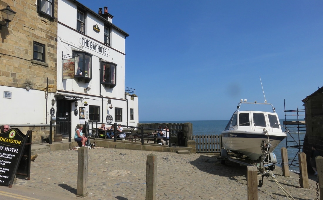
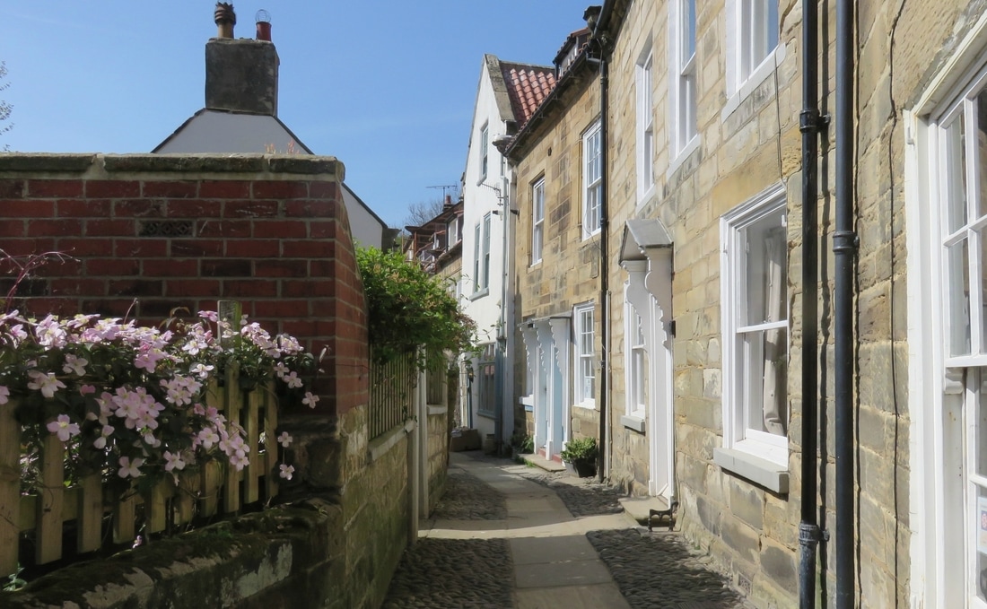
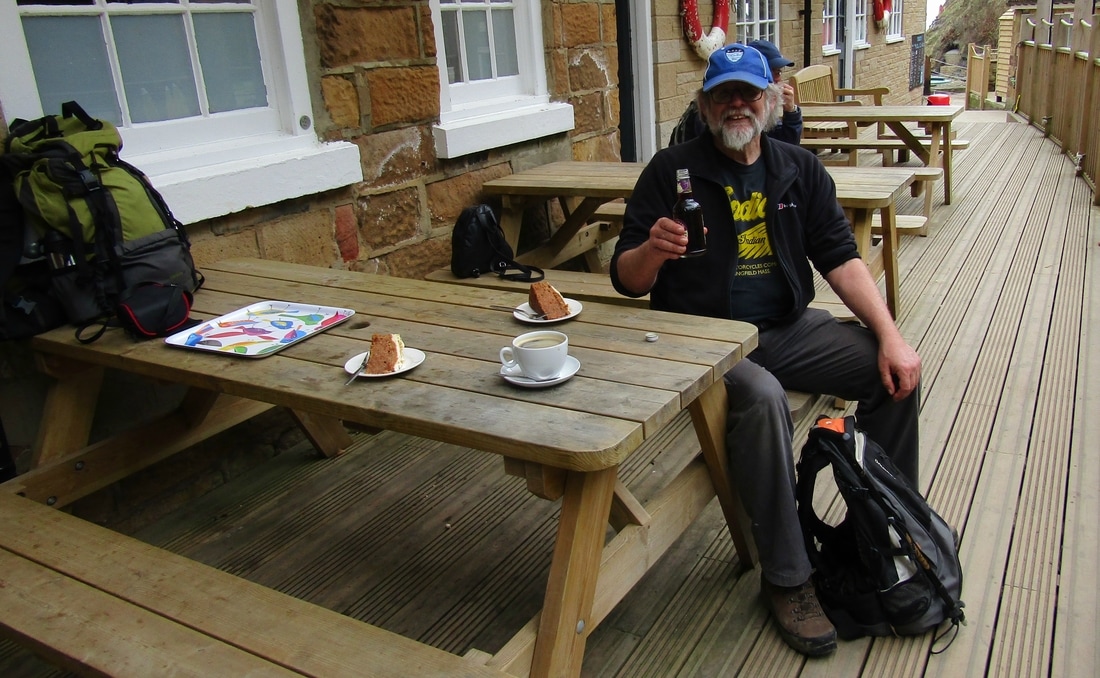
This was the last of 3 back to back walks arranged for this week. The plan was to walk to Boggle Hole using the Cinder Track & return along the coast path. Unfortunately there was a change of plan and most of the party returned home from Robin Hoods Bay leaving John and I to complete the walk on our own
Total Climbing 1261ft
Weather Overcast but not unpleasant
Difficulty Easy
This was the last of 3 back to back walks arranged for this week. The plan was to walk to Boggle Hole using the Cinder Track & return along the coast path. Unfortunately there was a change of plan and most of the party returned home from Robin Hoods Bay leaving John and I to complete the walk on our own
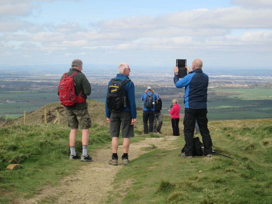
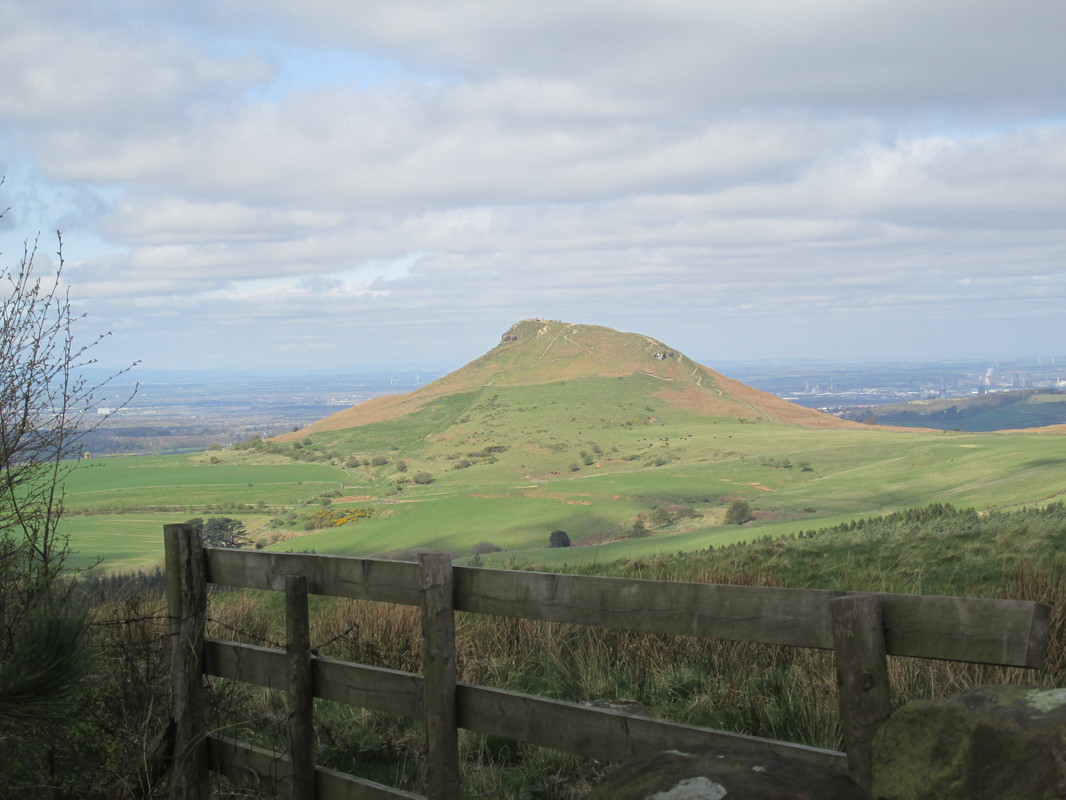
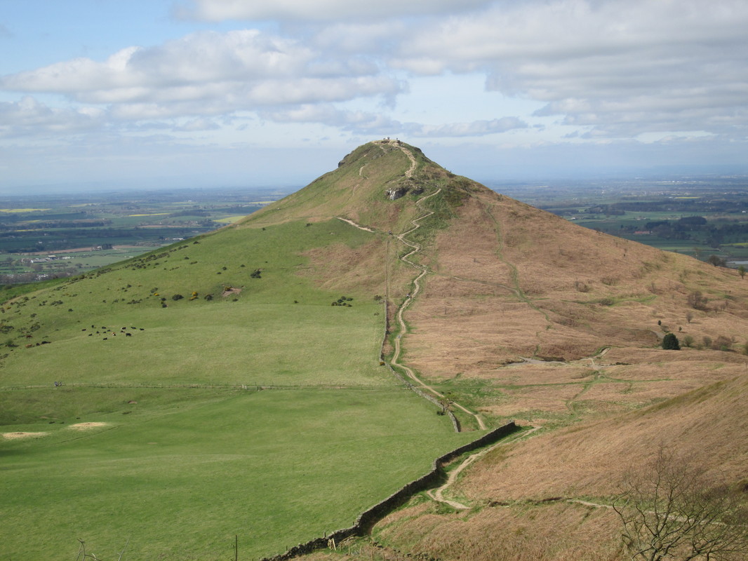
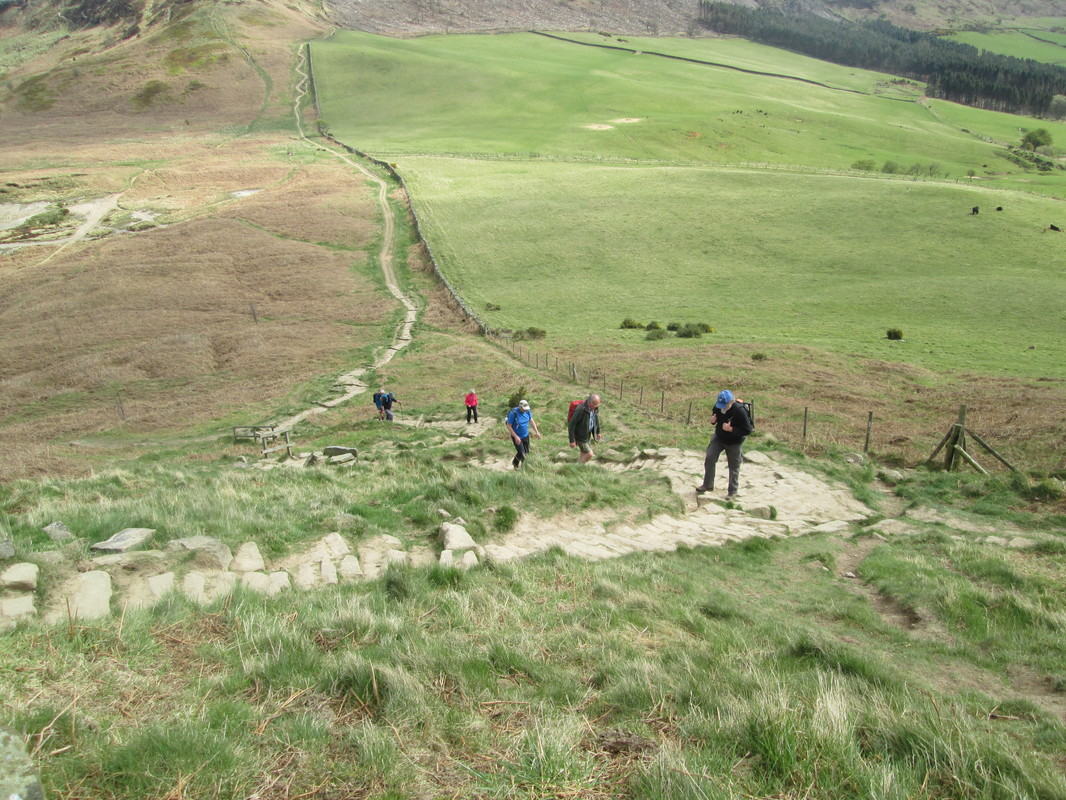
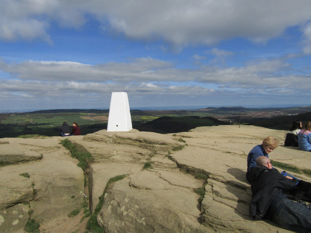
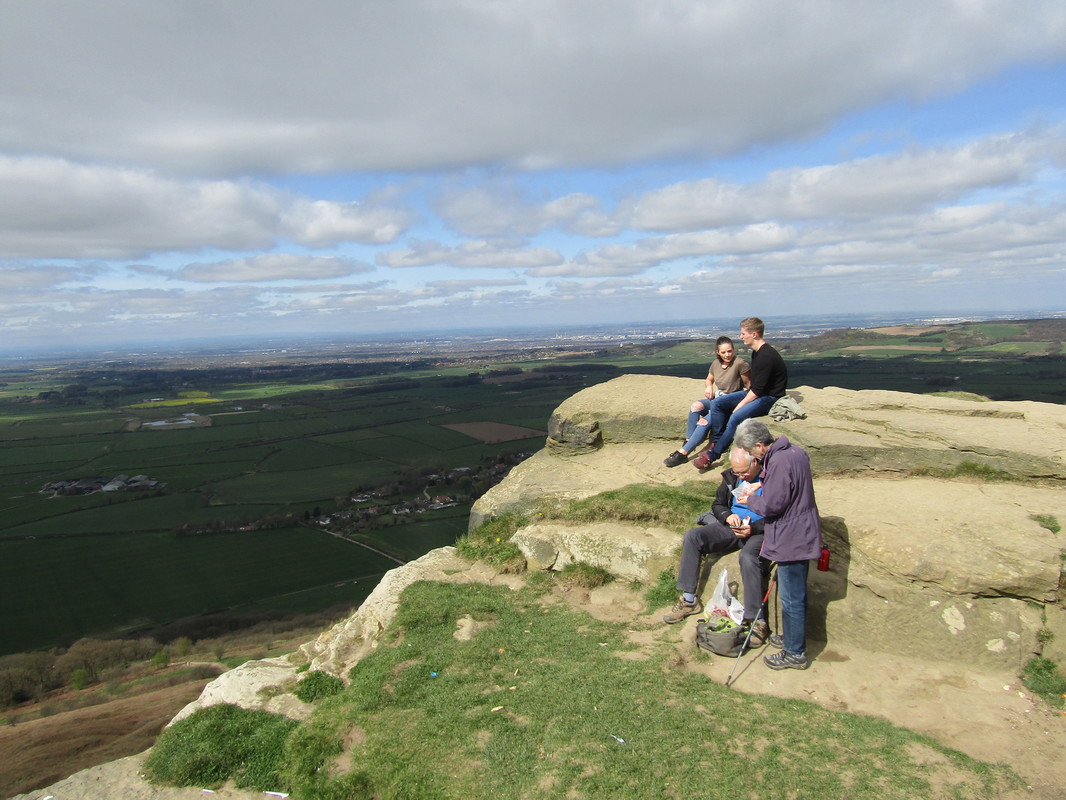
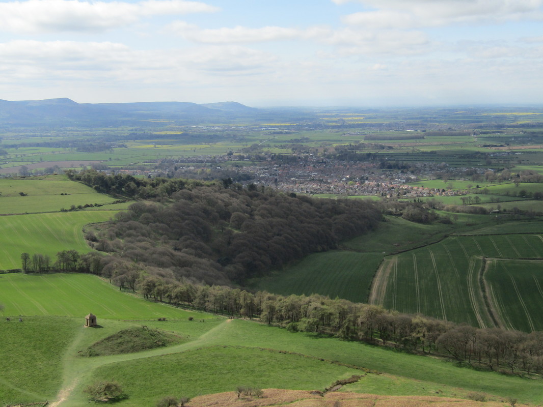
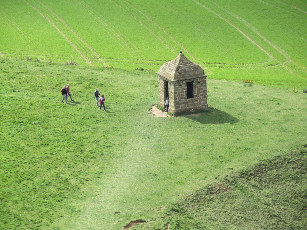
Easby Moor & Roseberry Topping 6/4/17
Distance 14.3 miles
Total Climbing 2,049ft
Weather Fine & Sunny
Difficulty Easy to Moderate
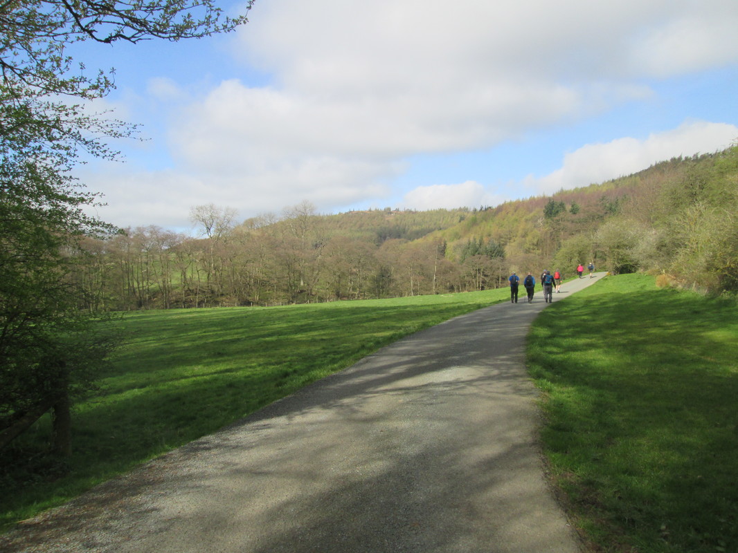
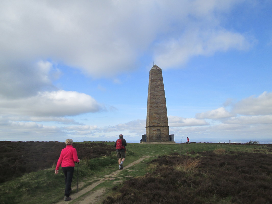
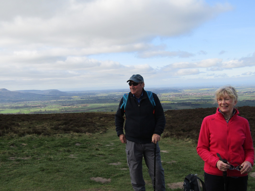
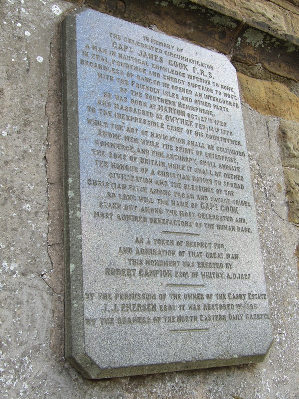
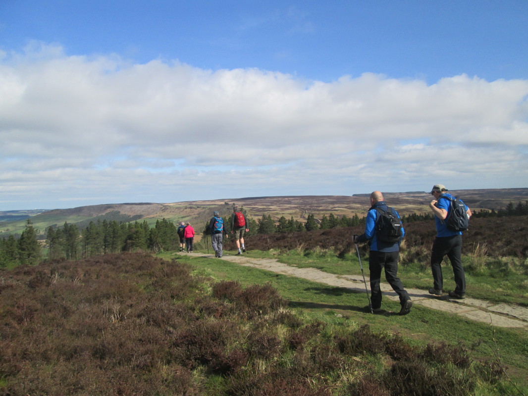
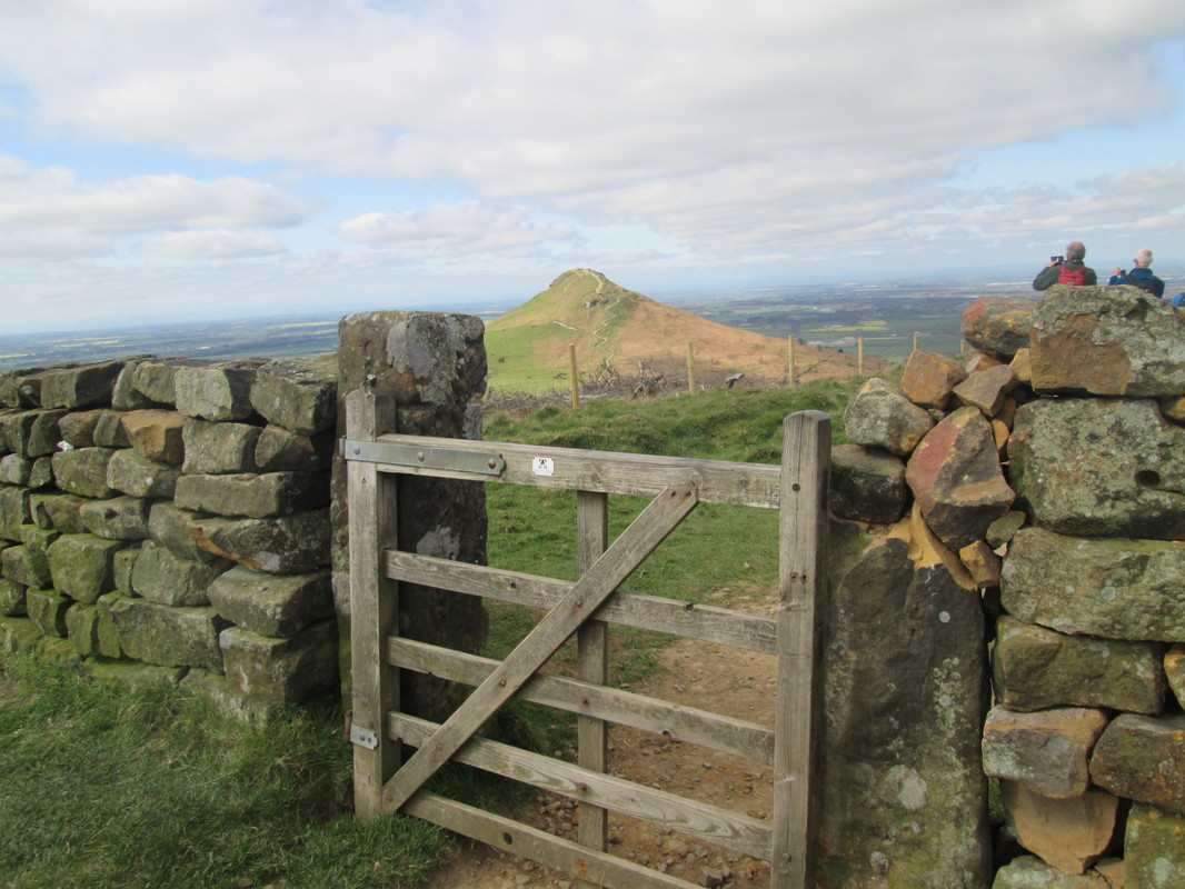
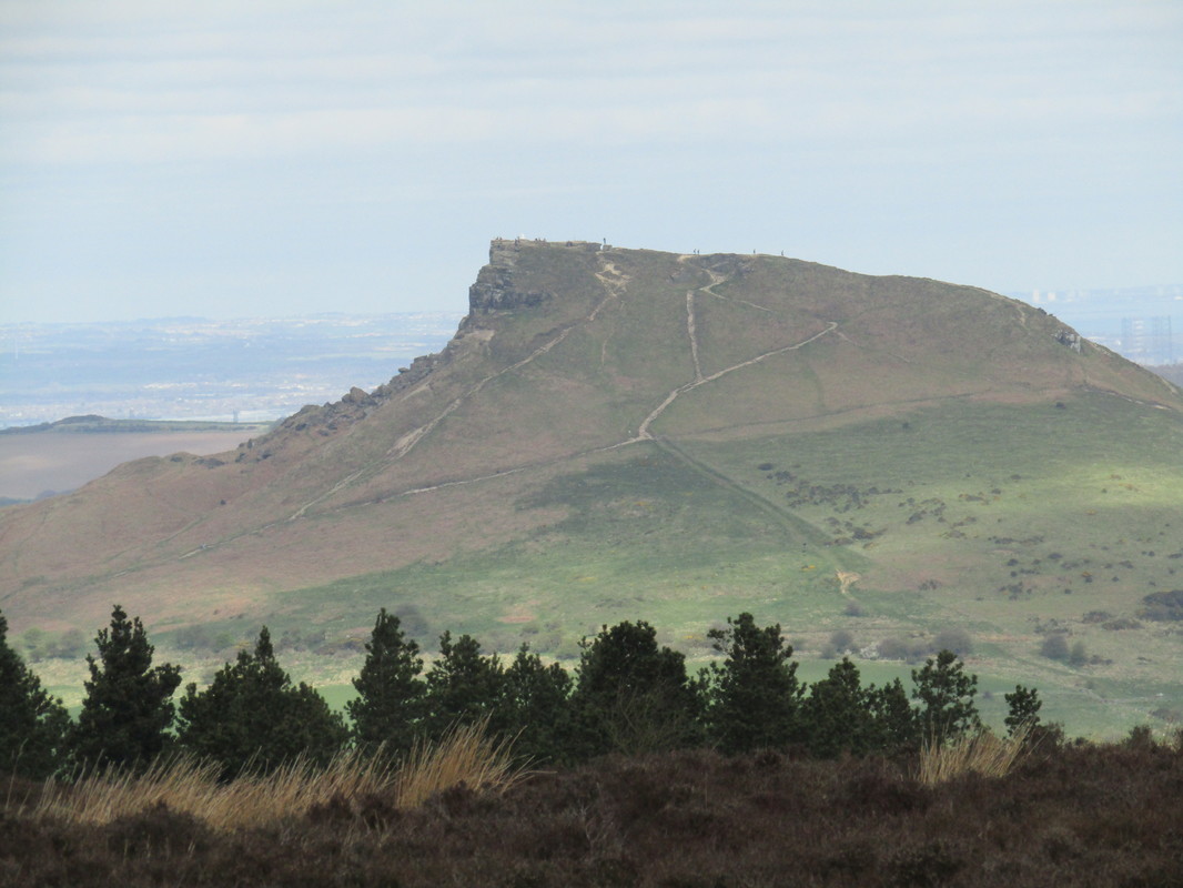
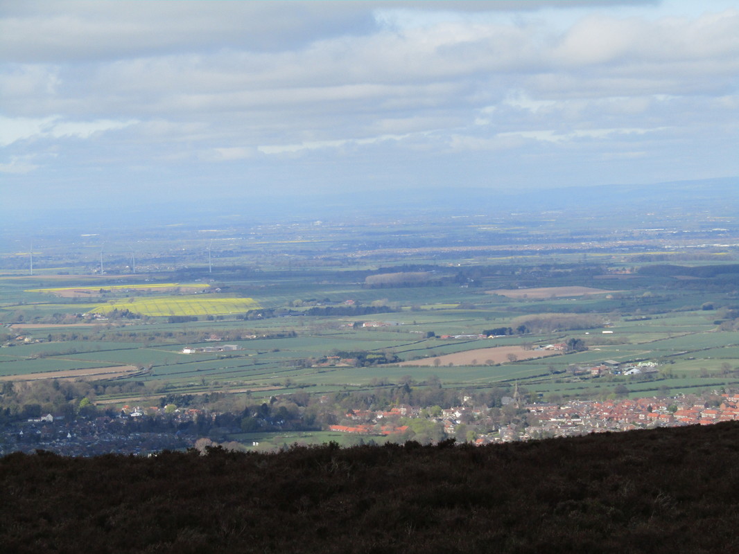
When we arrived at Kildale we parked at the Station which we only found after driving into a farmyard due to some slightly confusing signage. Our walk was to be in two stages, first a circuit around Captain Cooks Monument on Easby Moor and Roseberry Topping returning to the cars for lunch. The second part was to take us towards Baysdale Farm & Battersby Moor.
Total Climbing 2,049ft
Weather Fine & Sunny
Difficulty Easy to Moderate
When we arrived at Kildale we parked at the Station which we only found after driving into a farmyard due to some slightly confusing signage. Our walk was to be in two stages, first a circuit around Captain Cooks Monument on Easby Moor and Roseberry Topping returning to the cars for lunch. The second part was to take us towards Baysdale Farm & Battersby Moor.
Loftus to Whitby 5/3/17
Distance 16.5 miles
Total Climbing 2,508 ft
Weather Fine & Sunny
Difficulty Easy to moderate
This was the second time we walked this route in a short period of time, however, I never tire of walking along the North Yorkshire Coast.
Total Climbing 2,508 ft
Weather Fine & Sunny
Difficulty Easy to moderate
This was the second time we walked this route in a short period of time, however, I never tire of walking along the North Yorkshire Coast.
Golden Grove - Rigg Mill - Gnipe Howe 2/4/17
Distance 10.4 miles
Climbing 1,047 ft
Weather Sunny but with a northerly breeze
Difficulty Easy to moderate
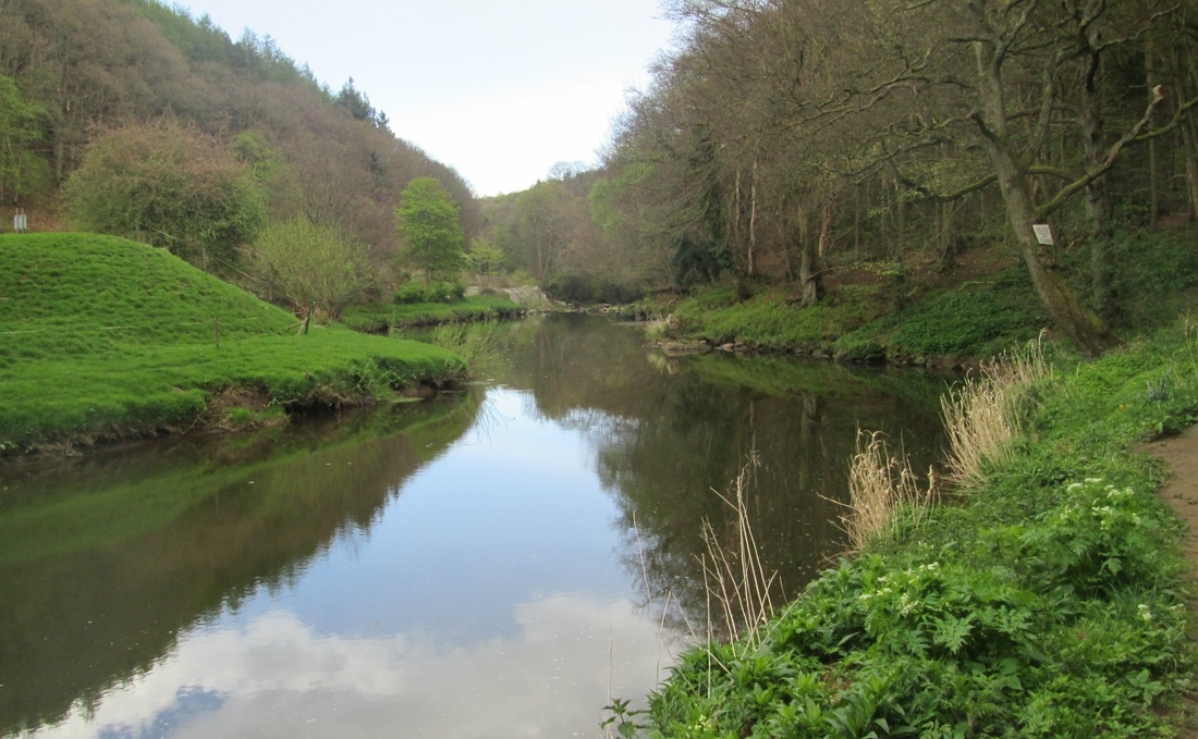
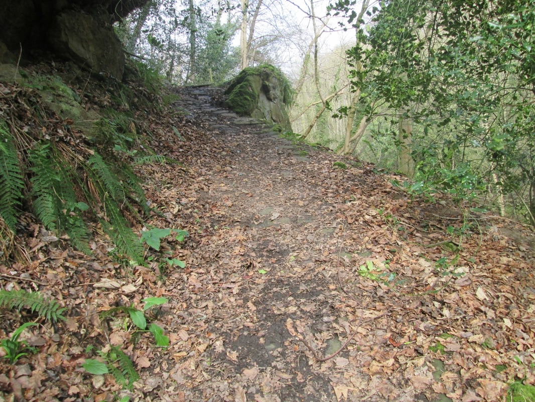
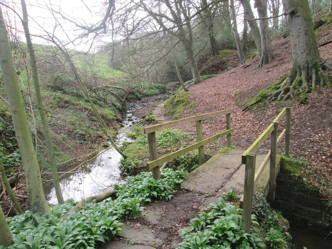
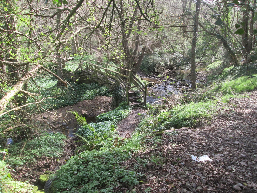
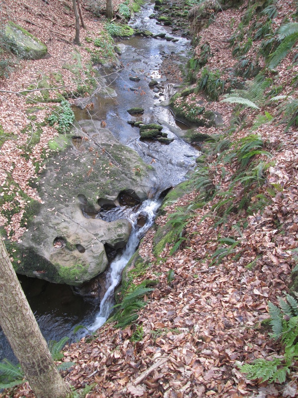
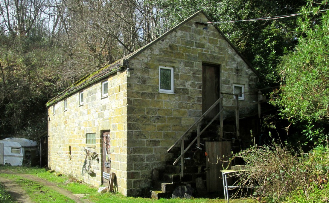
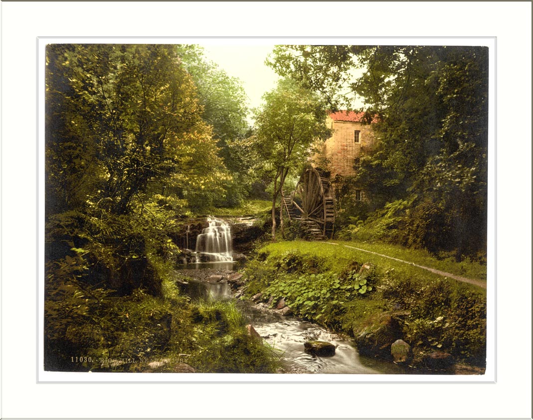
This was a solo walk, my the route was one that I have used a number of times in the past and for the most part are fairly quiet and not frequented by visitors to the area. I made my way to Golden Grove woods and followed the Monks Way to Sneaton and carried on through the village towards Bennisons Farm. About a mile from the village I turned right, along a lane which descended into 'Sally Meads Wood' and then followed Rigg Mill beck which is at the bottom of a steep sided valley on the left of the path. the surface here was well and truly cut up by horses and in some places I had to leave the track altogether to seek a dryer way.
Climbing 1,047 ft
Weather Sunny but with a northerly breeze
Difficulty Easy to moderate
This was a solo walk, my the route was one that I have used a number of times in the past and for the most part are fairly quiet and not frequented by visitors to the area. I made my way to Golden Grove woods and followed the Monks Way to Sneaton and carried on through the village towards Bennisons Farm. About a mile from the village I turned right, along a lane which descended into 'Sally Meads Wood' and then followed Rigg Mill beck which is at the bottom of a steep sided valley on the left of the path. the surface here was well and truly cut up by horses and in some places I had to leave the track altogether to seek a dryer way.
Duck Bridge-Danby High Moor -Beacon Hill 30/3/17
Distance 14.8 Miles
Climbing 1,870ft
Weather Cool blustery on high ground with an early threat of rain
Difficulty Moderate
Our group met at duck bridge and made our way via Bramble Carr & Rowentree farm to Danby Dale where we turned South for Botton passing Danby Church on the way. From Botton we made our way into Fryupdale after passing through Falcon Farm to Danby High Moor then down to Fairy Cross Farm. we arrived back at Duck Bridge for a late lunch after which most of the party made there way home leaving three of us to add another few miles to our walk by doing a circuit to Danby Beacon
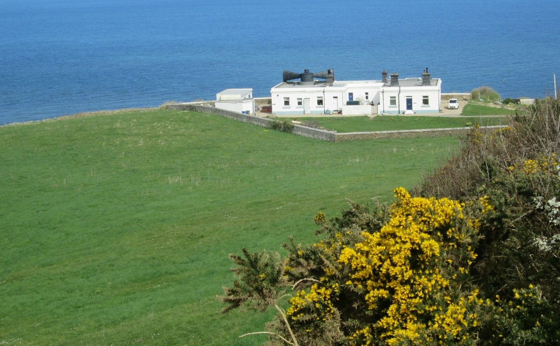
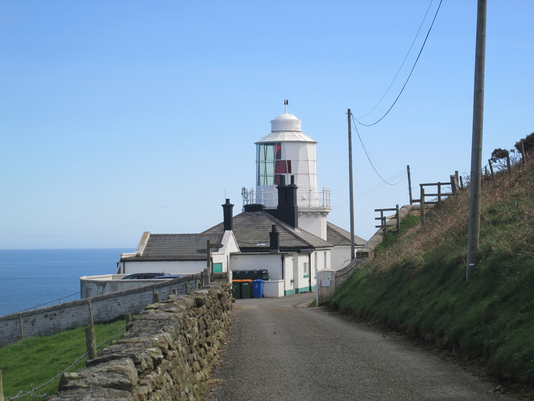
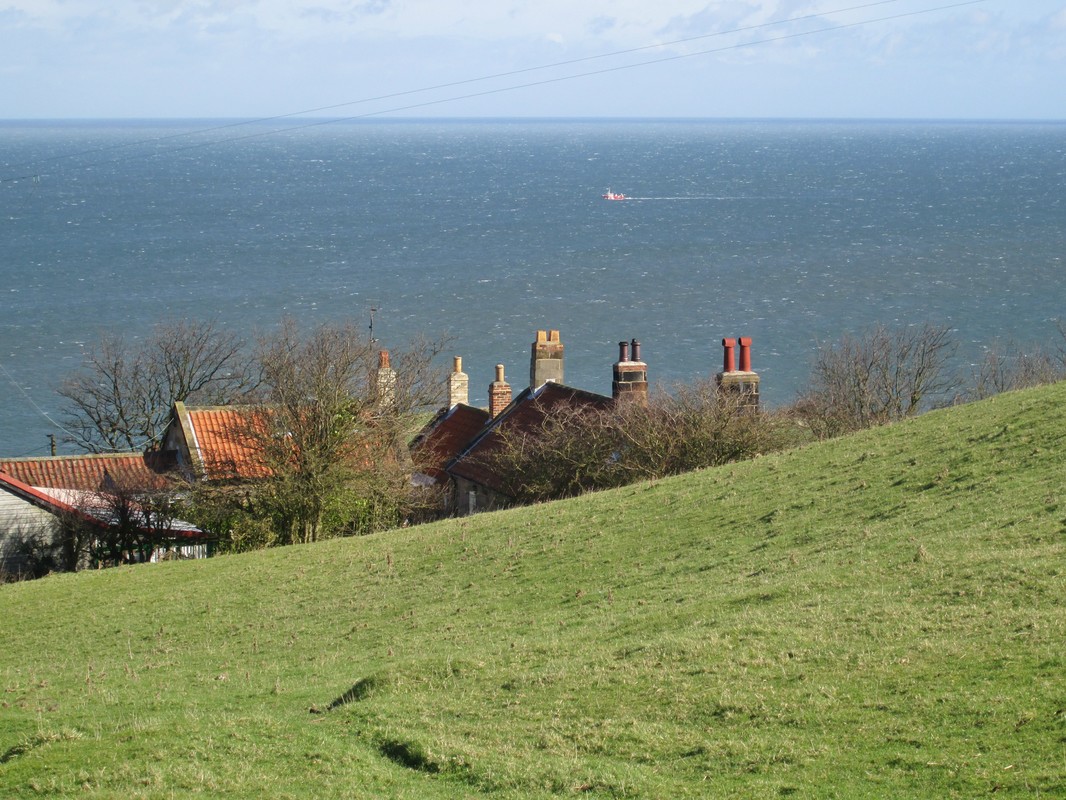
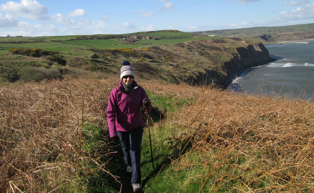
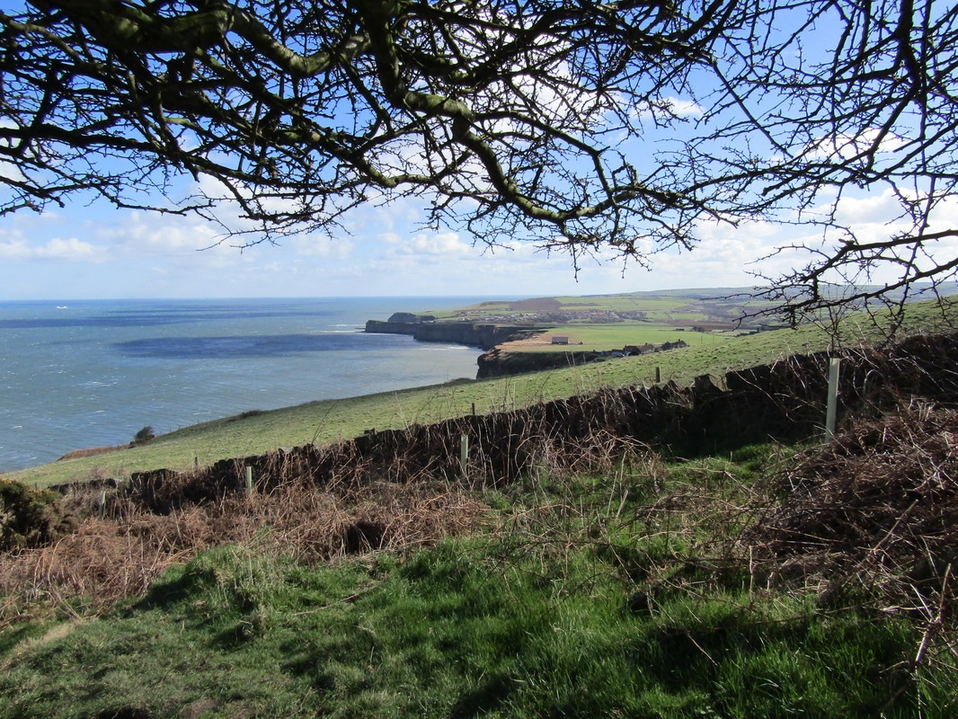
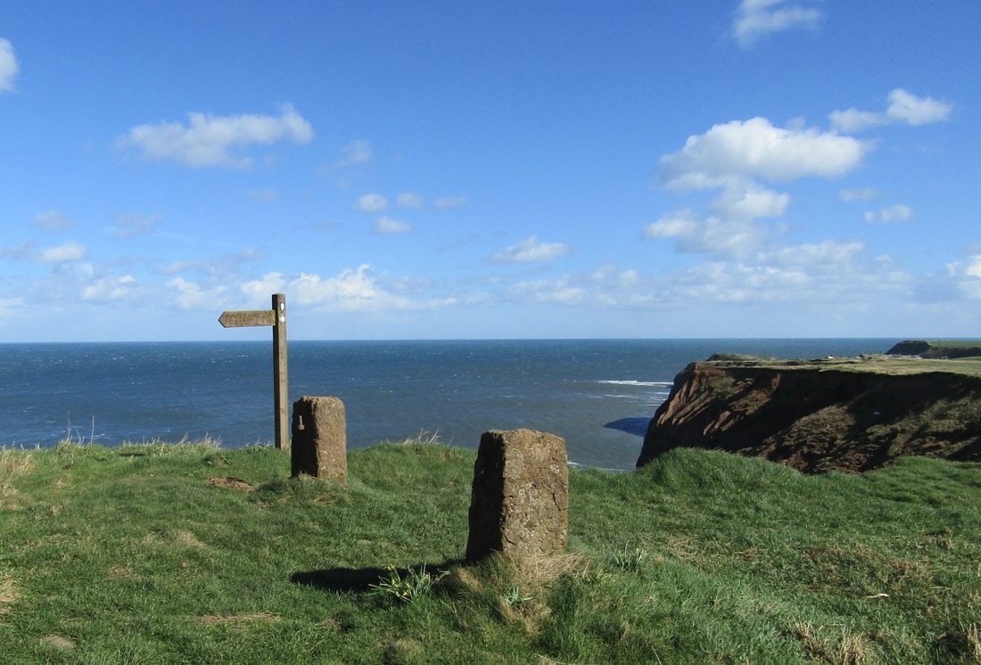
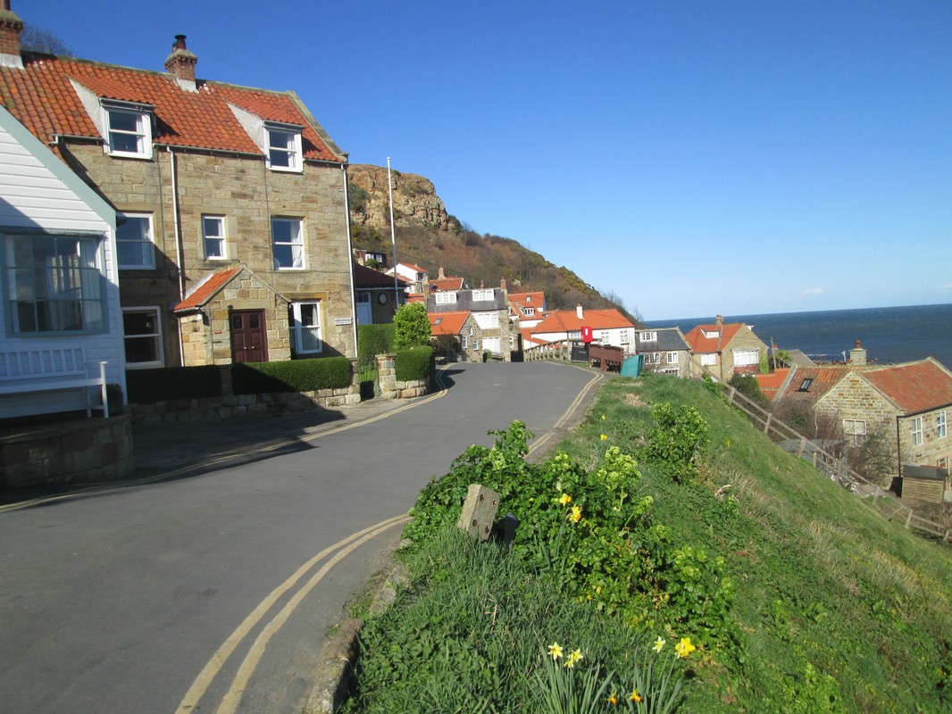
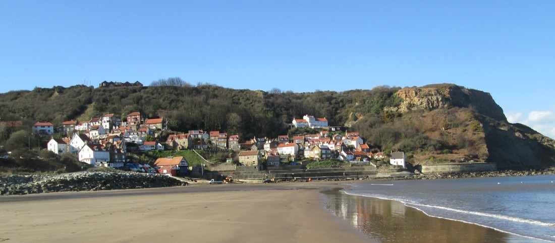
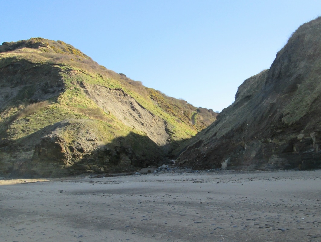
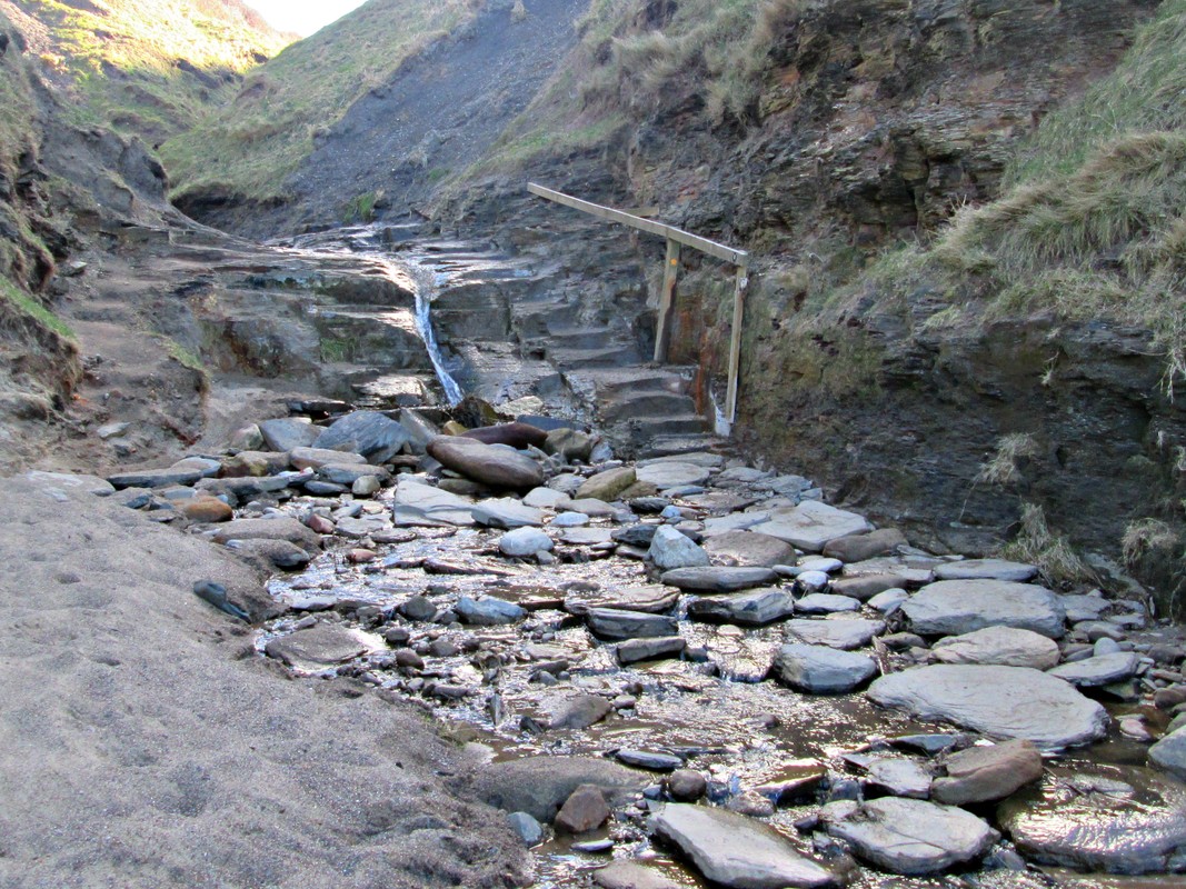
Loftus- Runswick- Sandsend 21/3/17
Distance 14.5 miles
Height gain 2,592 ft
Weather Bright but rather cold & windy
Difficulty Moderate
Today's walk started in the town of Loftus From where we made our way to the coast by way of Hummersea Lane until we reached the route of the Cleveland way which we then followed south along the clifftops and in spite of the cold wind we had a very enjoyable walk
Oakley Walls 13/3/17
Distance 7.8 miles
Height Gain 859ft
Weather Overcast.
Difficulty Easy
Height Gain 859ft
Weather Overcast.
Difficulty Easy
Fryup & Danby Dales 2/2/17
Distance 12.2 miles
Hight Gain 967ft
Weather Overcast & Cold
Difficulty Easy
Hight Gain 967ft
Weather Overcast & Cold
Difficulty Easy