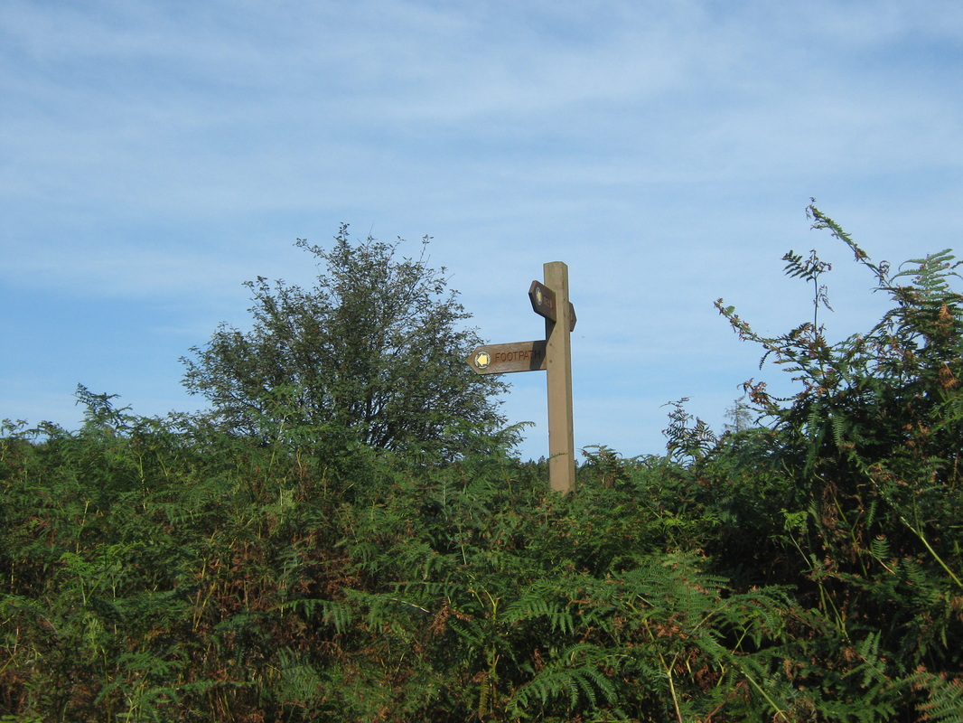
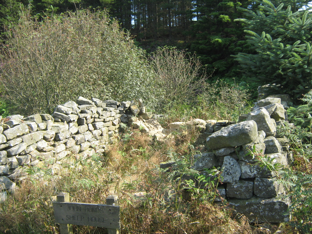
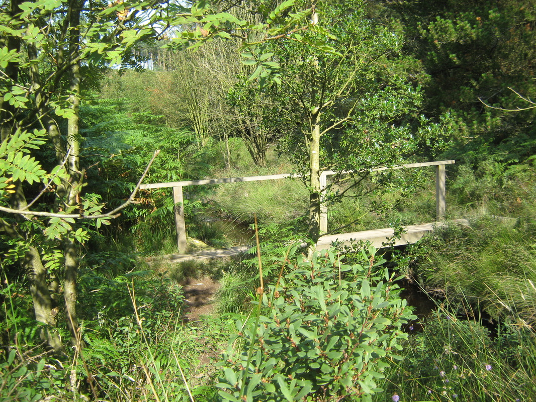
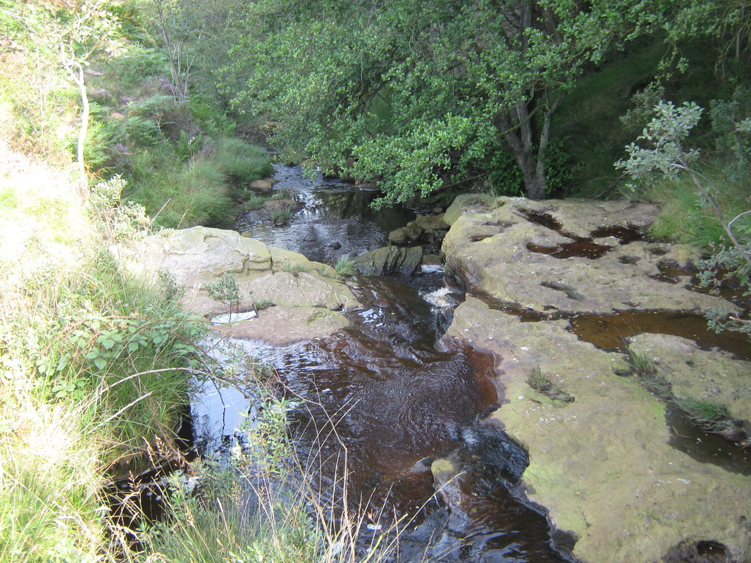
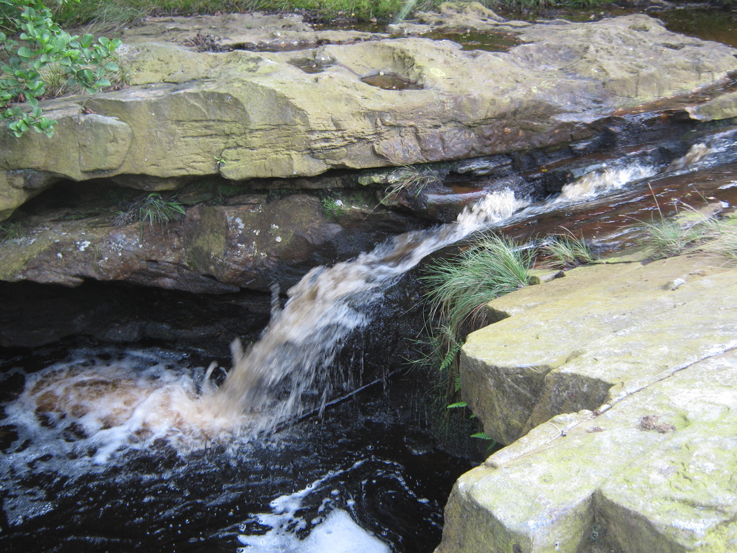
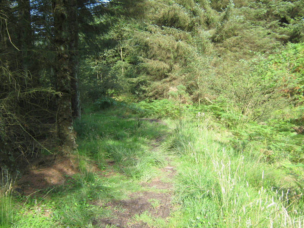
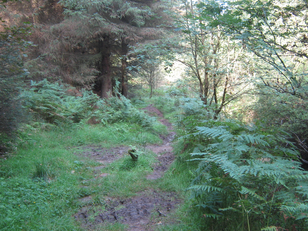
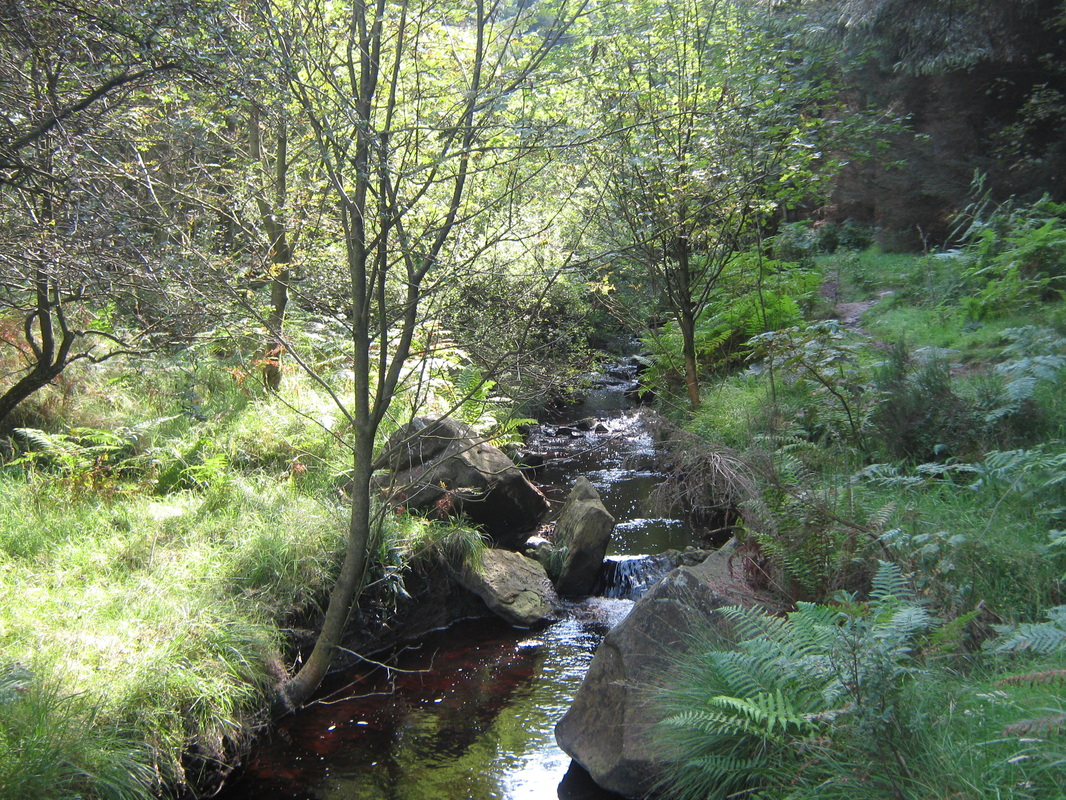
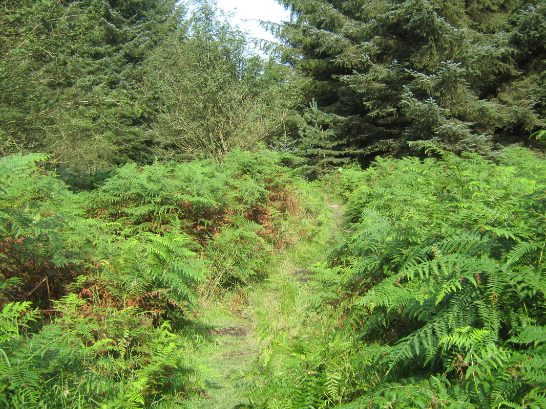
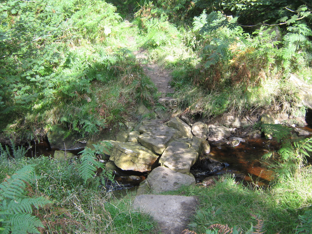
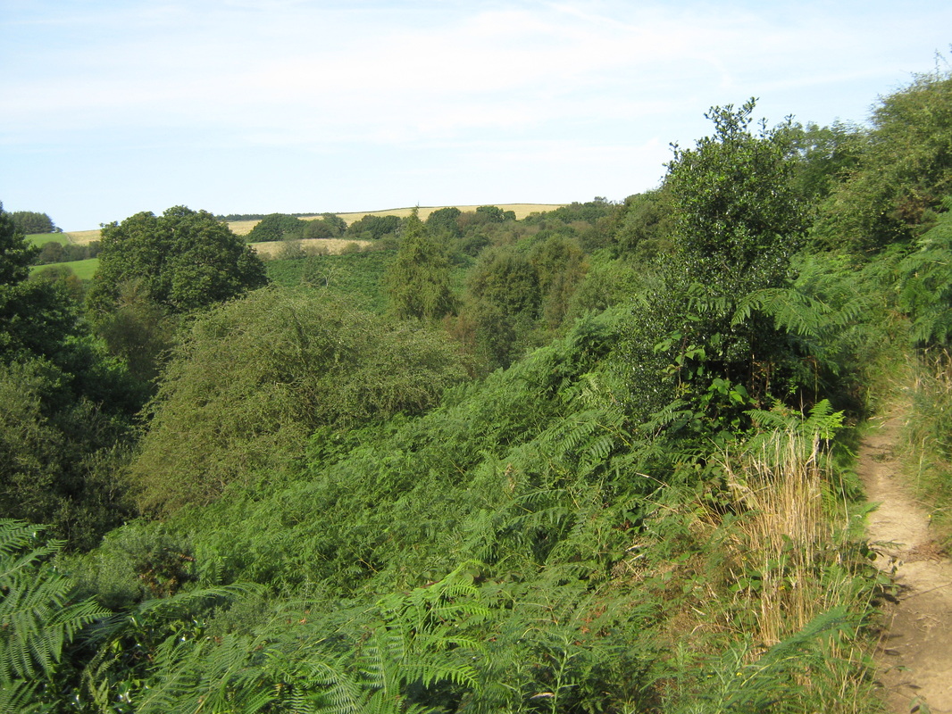
John Cross and John Bonds Sheep House (May Beck Nr Whitby)
Date walked Mon 3rd Sept
Distance Abt 7 miles
Terrain Moors and woodland paths
Grade Easy to moderate
Weather Bright and sunny with a light breeze
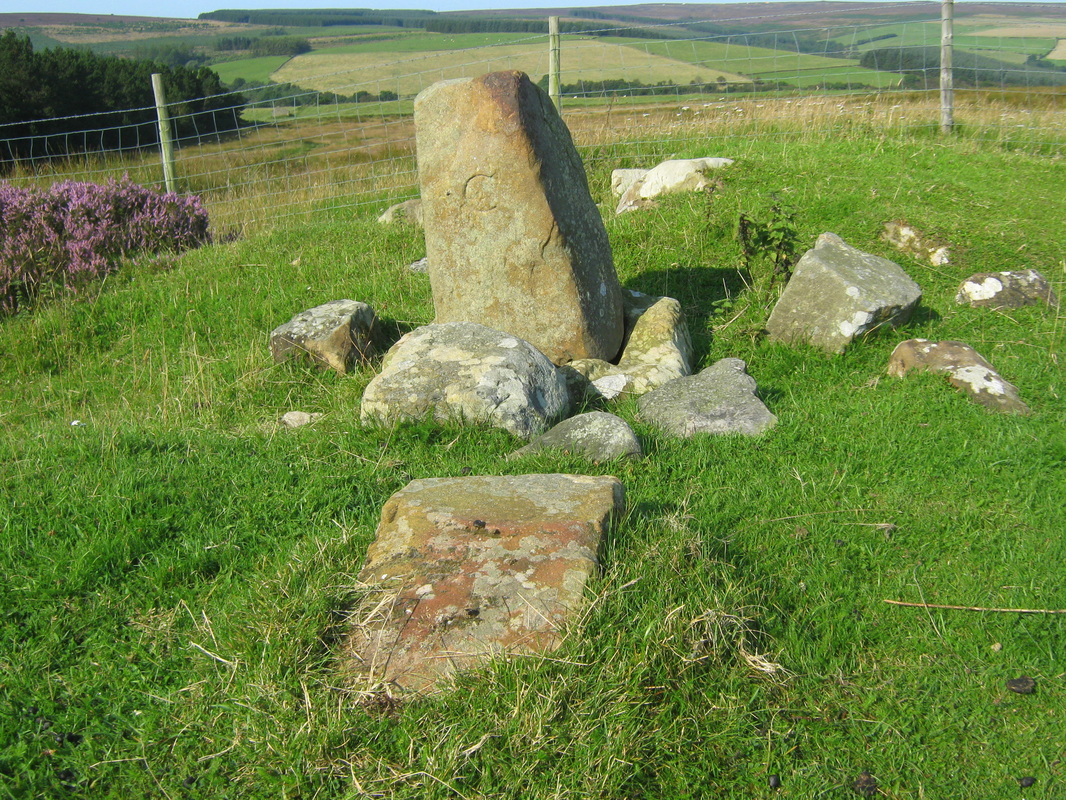
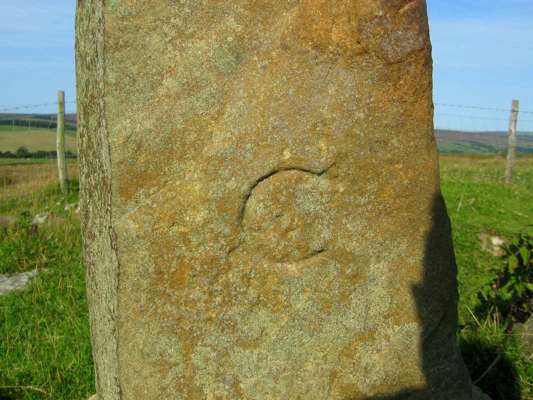
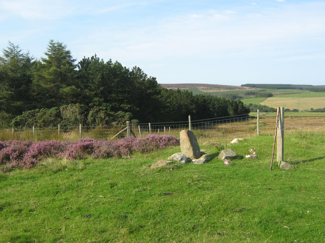
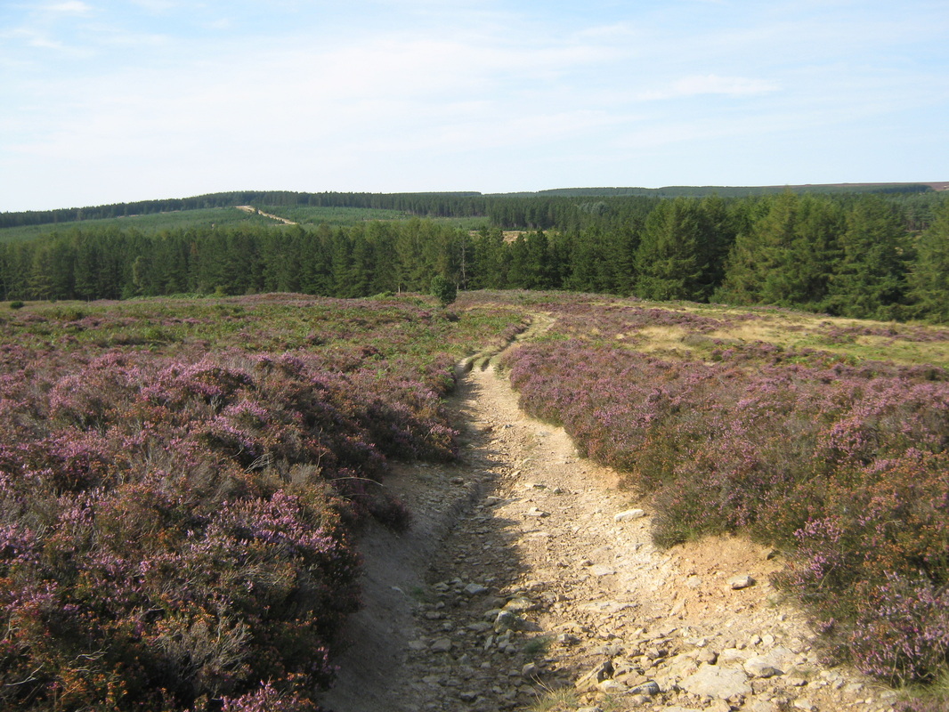
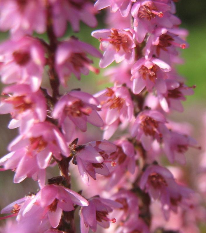
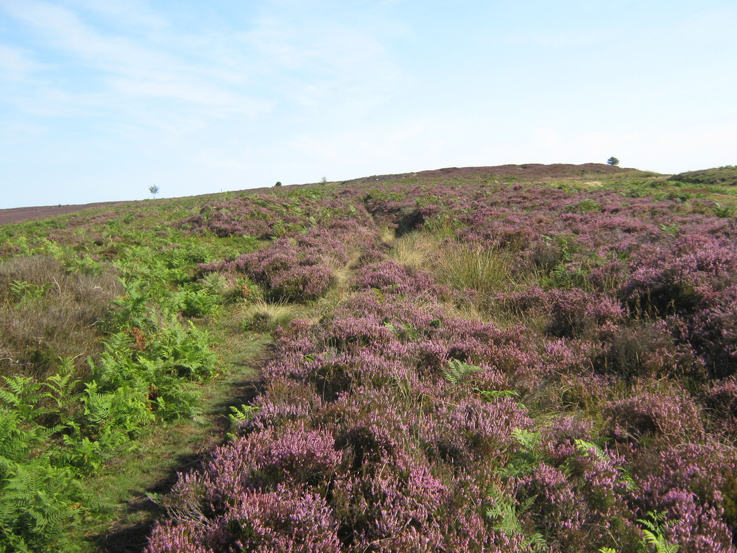
The object of today's walk was to visit and photograph a standing stone known as the 'Old Wife's Neck'. I am quite familiar with the area and felt that I would have no problem in achieving my object. I was wrong! in spite of criss crossing the moor where I know the stone is to be located I was unable to find it. I will have another try at a later date. The walk itself was a pleasant stroll in an area where I spent a lot of time with my family when they were younger so I supose it was a trip down memory lane.
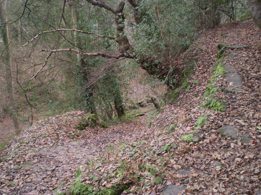
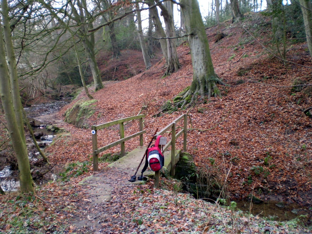
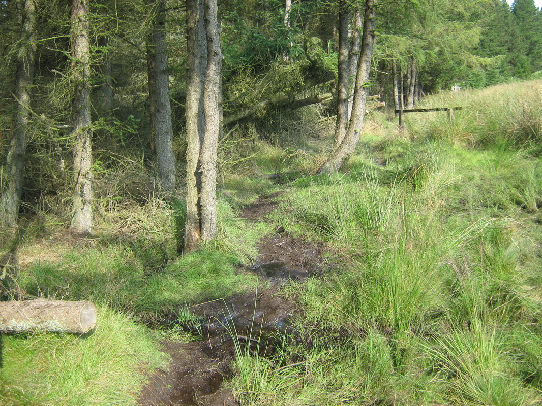
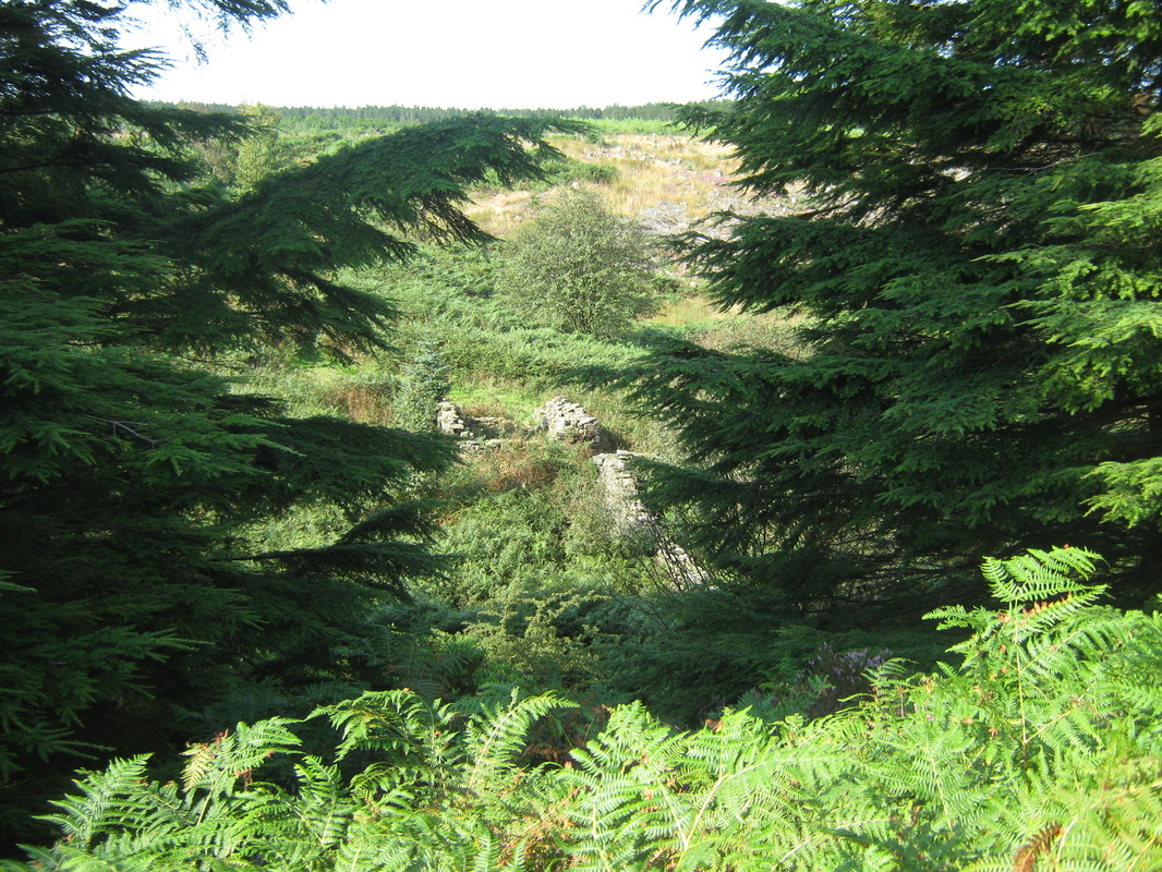
The route is easy to follow with an O/S map. From the forestry car park located at grid ref NZ8902, walk back over the bridge and follow the road to a point where a style leads into a field on the right. go into the field and follow the footpath uphill until you reach John Cross. From here take any one of a number of track leading off in a southerly direction keeping the forest on your right After a mile or so the path goes through a gate into the forest but follows the boundary fence along what can be a very soggy footpath which eventually bears round to the right and arrives at John Bonds Sheep-house. From here the path follows the stream back to the car park. Please beware of adders. I was bitten by one last year and although not as dangerous as many people believe, it was none the less, an extremely uncomfortable experience.
Distance Abt 7 miles
Terrain Moors and woodland paths
Grade Easy to moderate
Weather Bright and sunny with a light breeze
The object of today's walk was to visit and photograph a standing stone known as the 'Old Wife's Neck'. I am quite familiar with the area and felt that I would have no problem in achieving my object. I was wrong! in spite of criss crossing the moor where I know the stone is to be located I was unable to find it. I will have another try at a later date. The walk itself was a pleasant stroll in an area where I spent a lot of time with my family when they were younger so I supose it was a trip down memory lane.
The route is easy to follow with an O/S map. From the forestry car park located at grid ref NZ8902, walk back over the bridge and follow the road to a point where a style leads into a field on the right. go into the field and follow the footpath uphill until you reach John Cross. From here take any one of a number of track leading off in a southerly direction keeping the forest on your right After a mile or so the path goes through a gate into the forest but follows the boundary fence along what can be a very soggy footpath which eventually bears round to the right and arrives at John Bonds Sheep-house. From here the path follows the stream back to the car park. Please beware of adders. I was bitten by one last year and although not as dangerous as many people believe, it was none the less, an extremely uncomfortable experience.

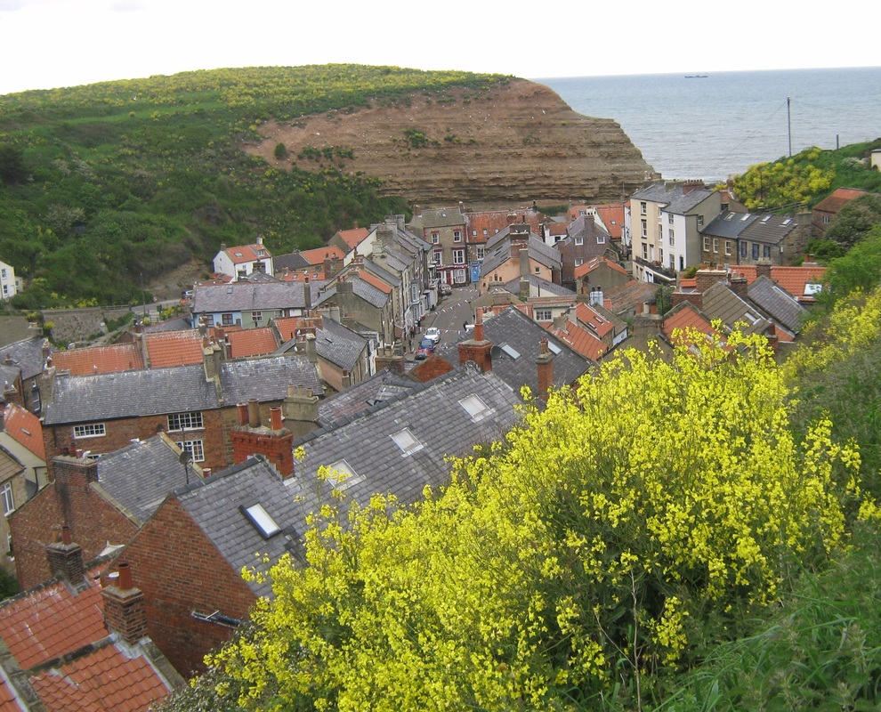
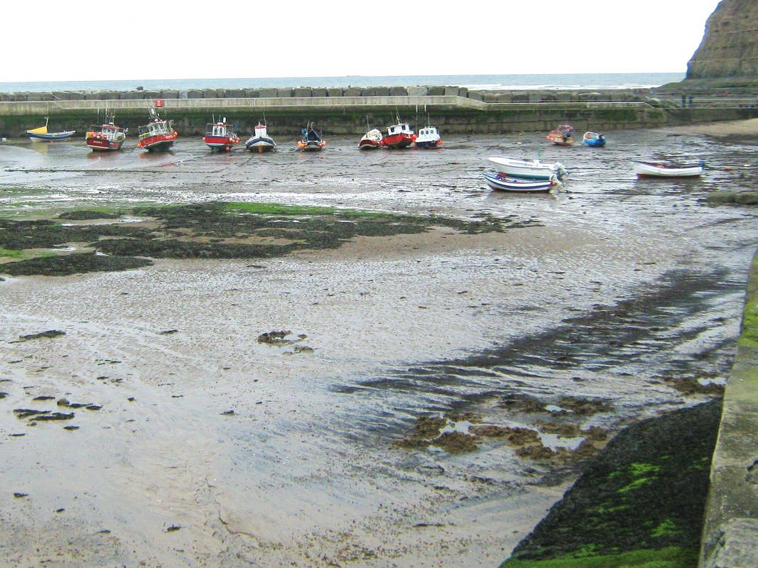
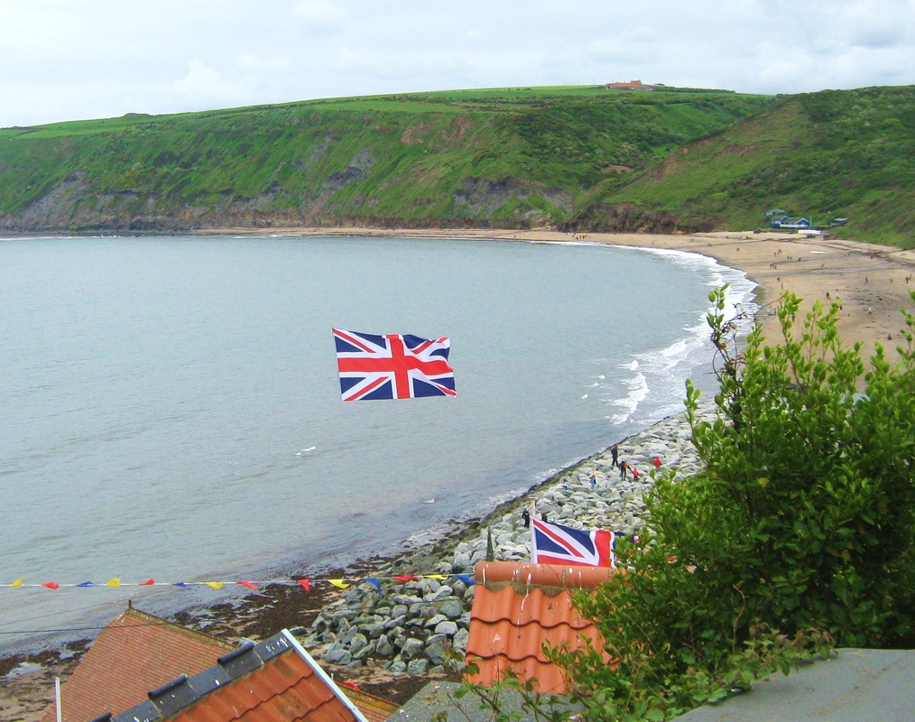
Staithes 3/6/12
Date Sunday may 3rd
Distance !!.5 miles
Terrain Well defined footpaths
Grade Easy to moderate
Weather Overcast and cool.
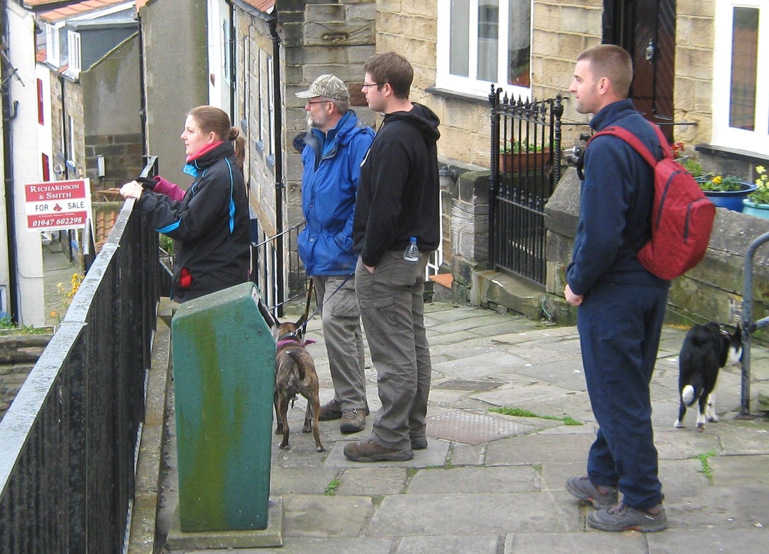
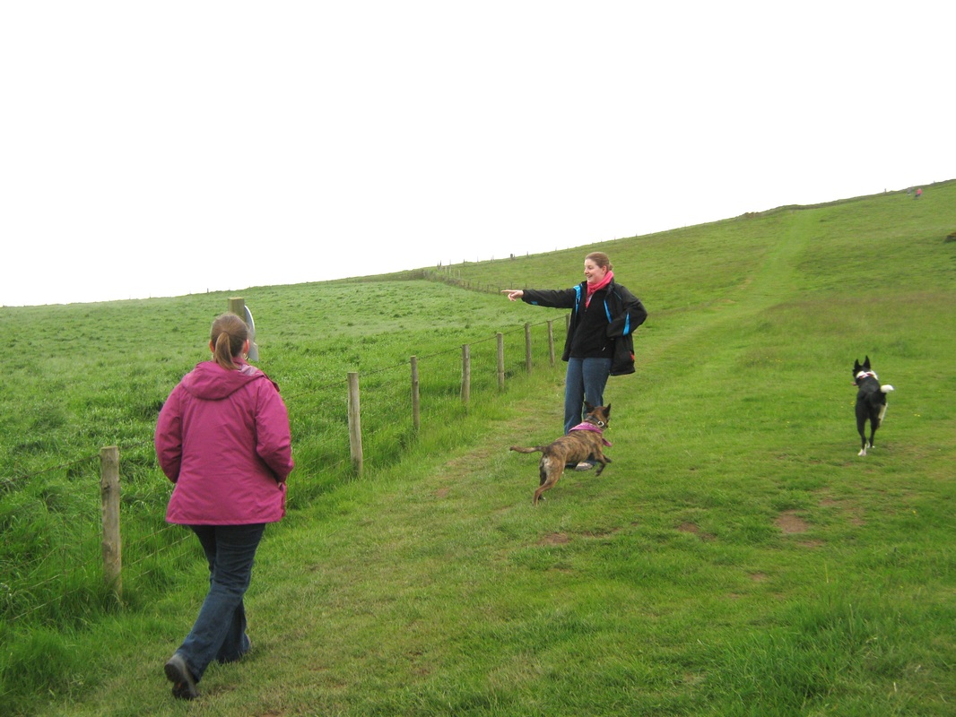
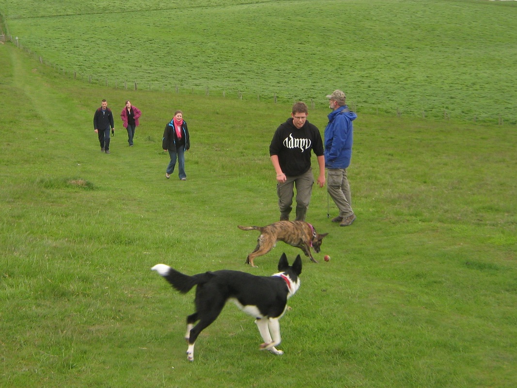
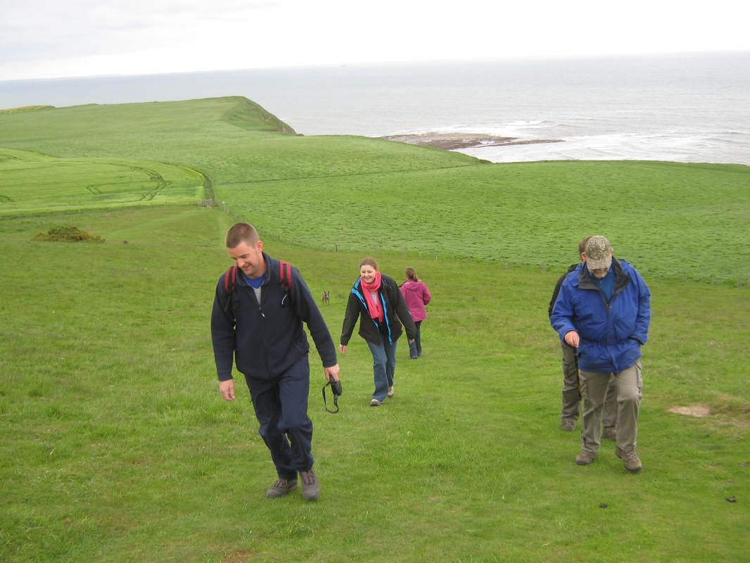
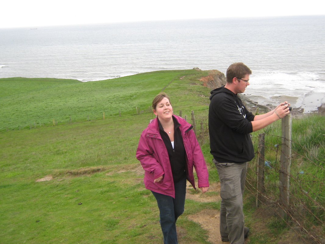
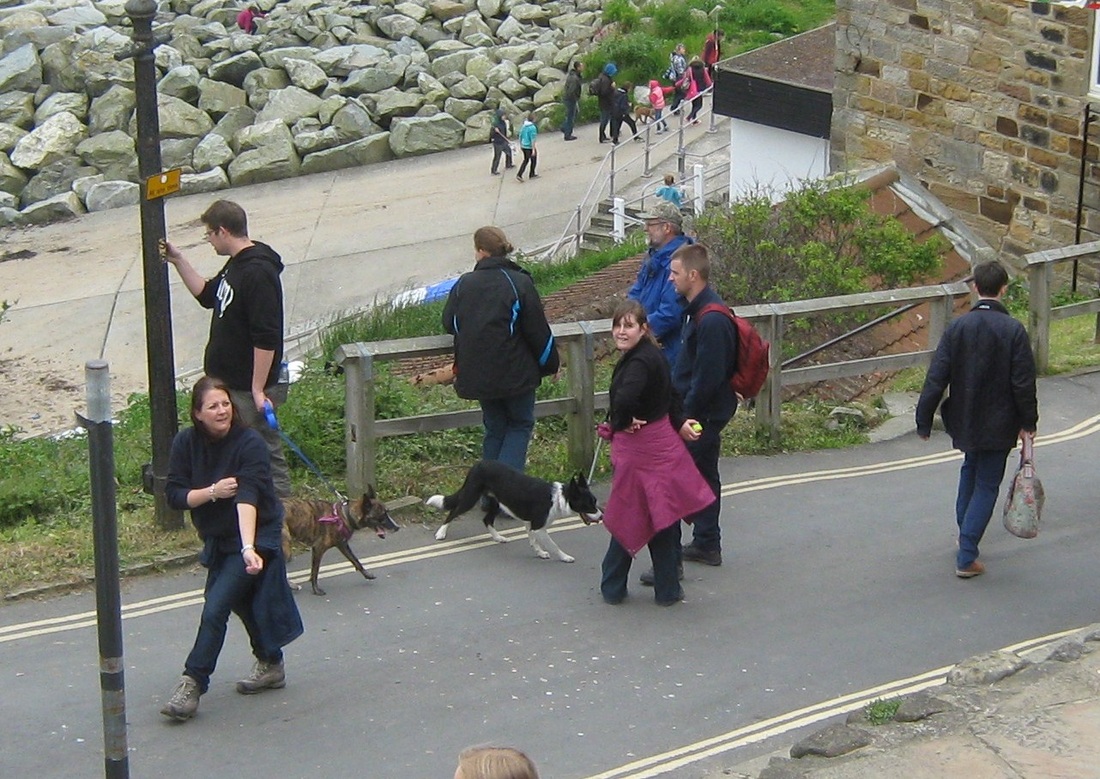
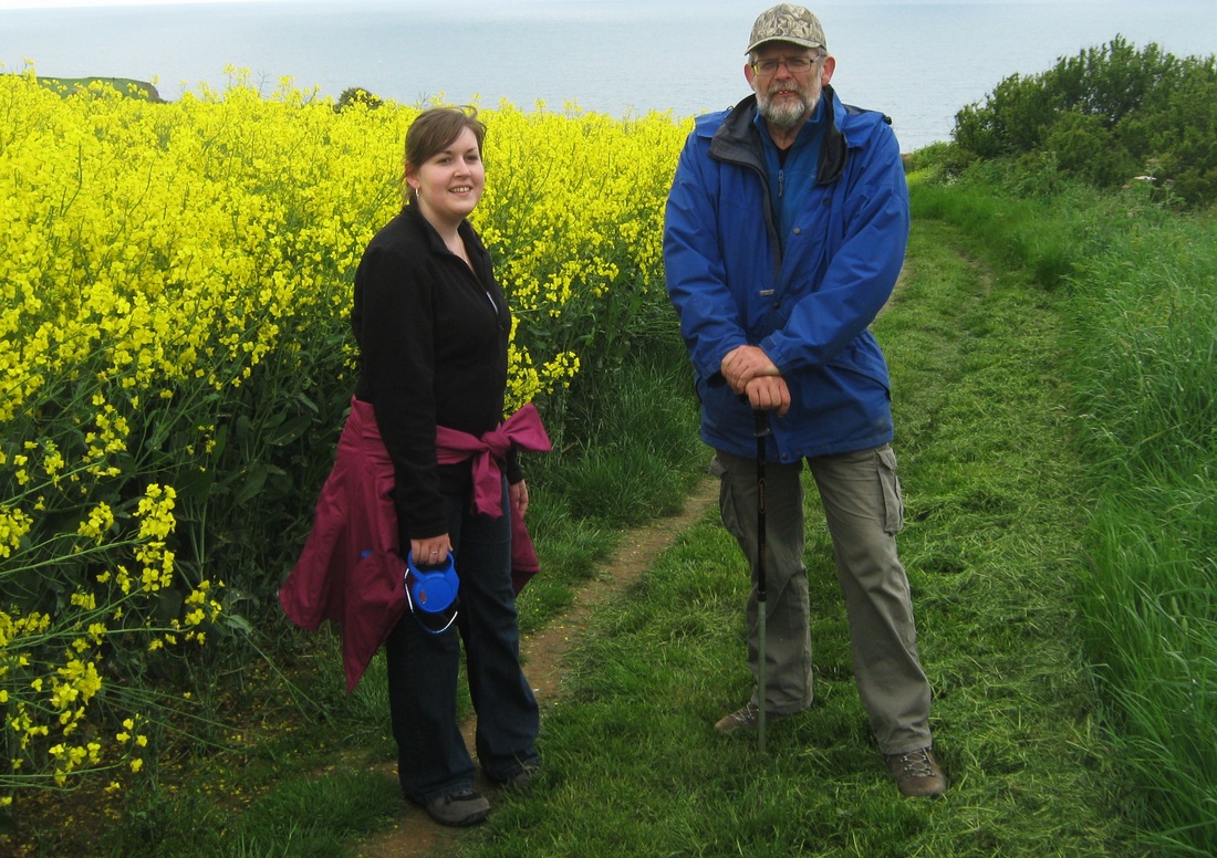
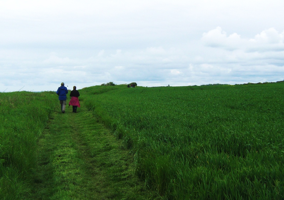
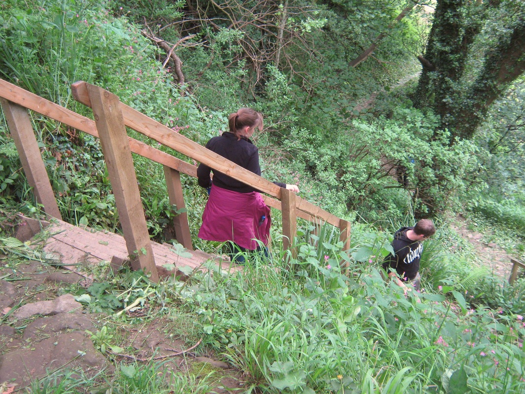
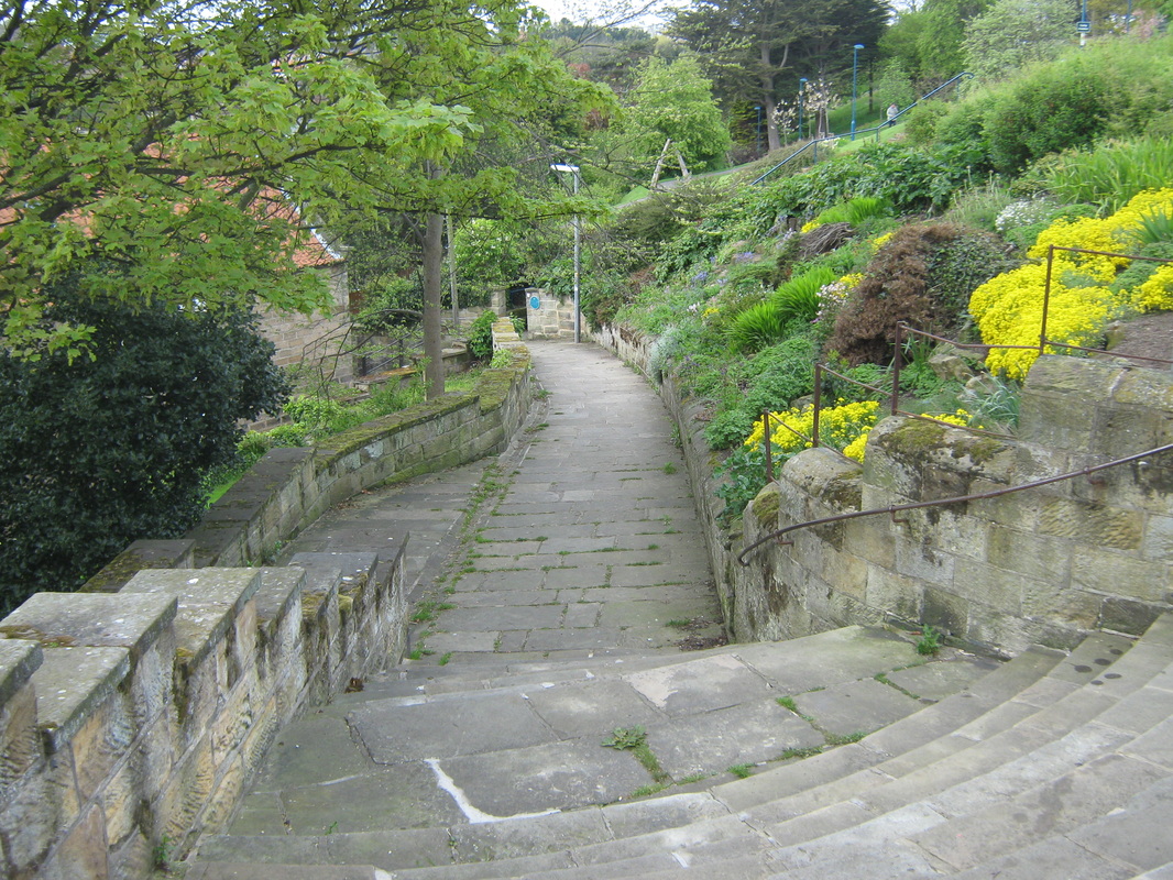
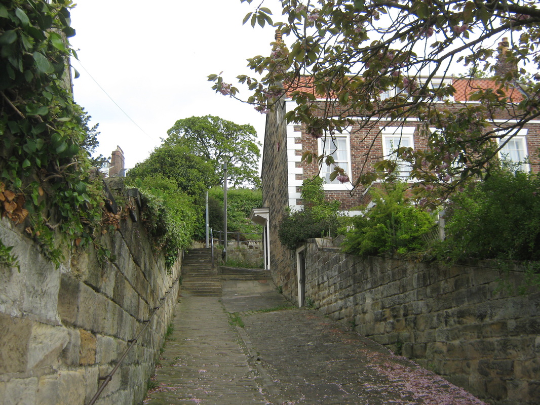
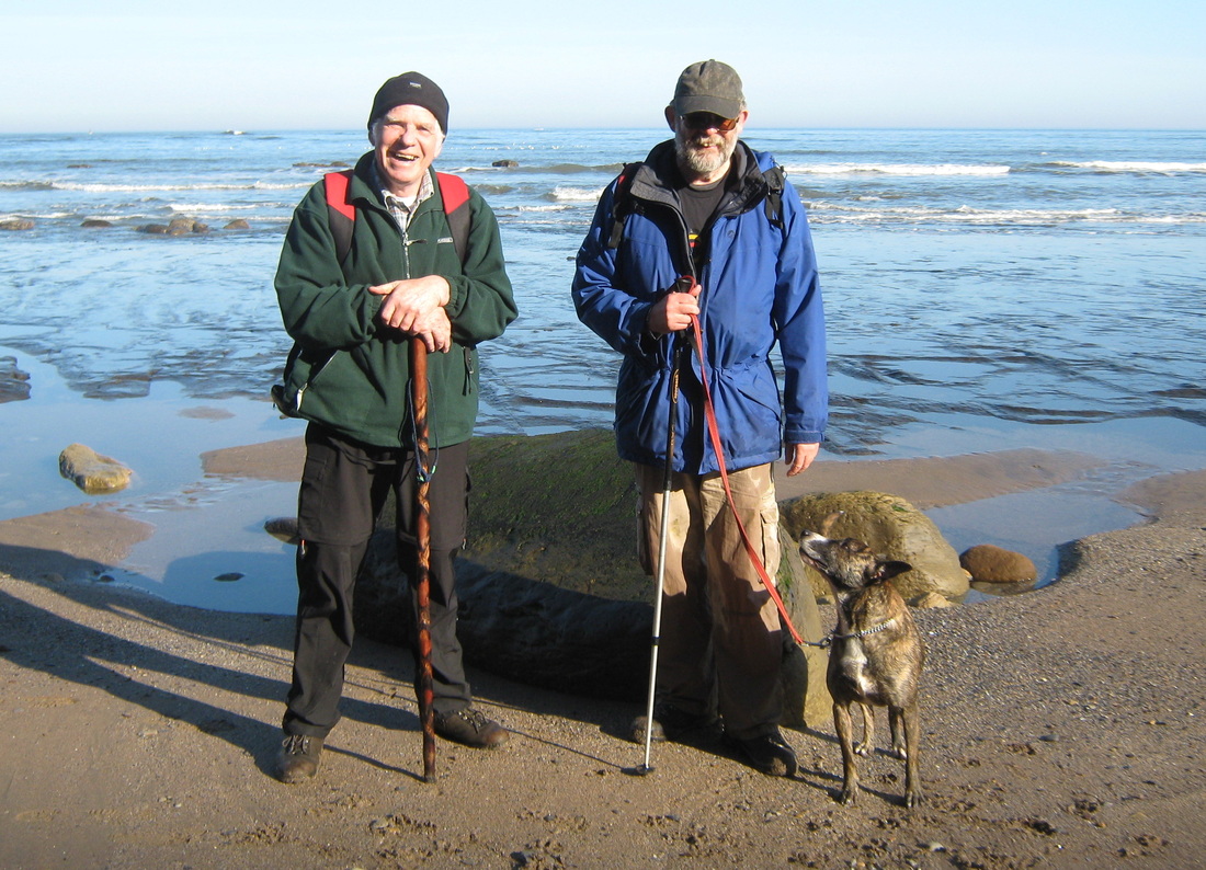
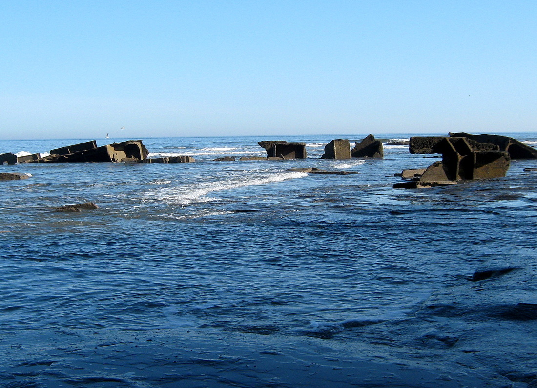
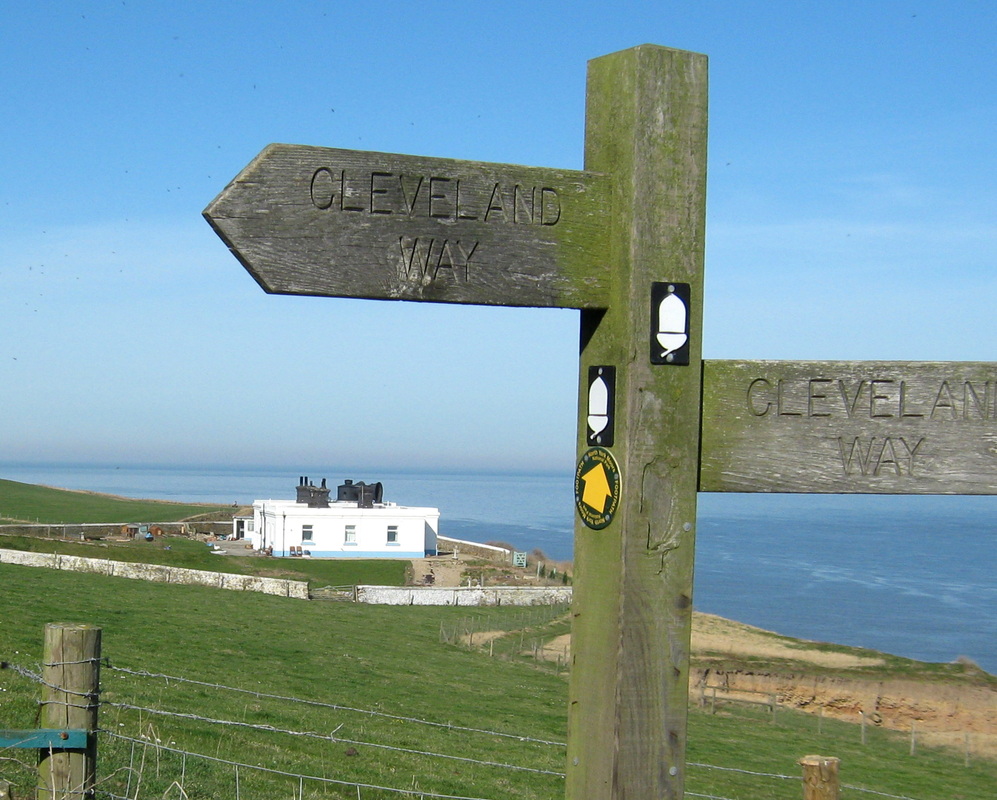
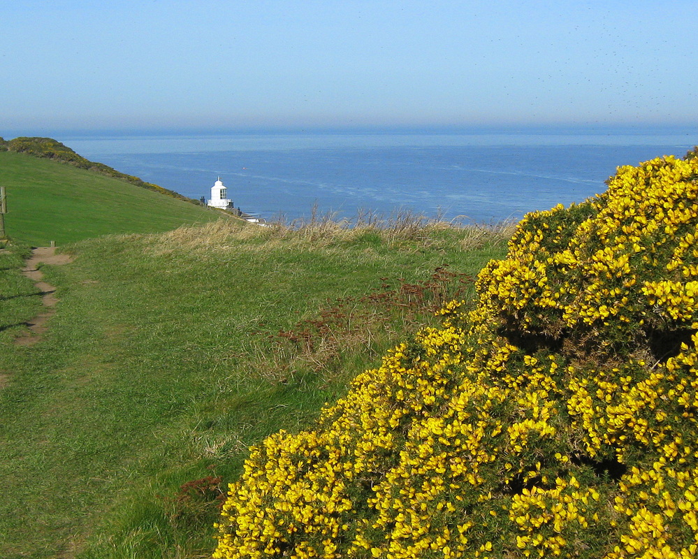
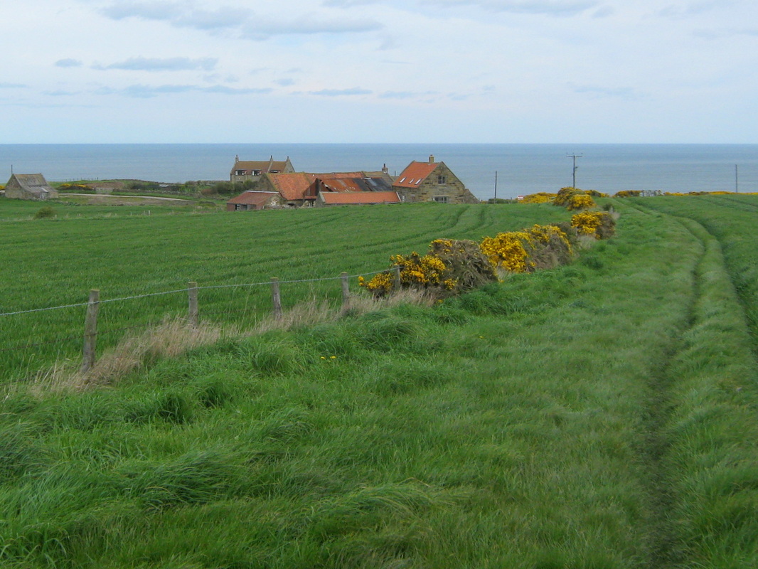
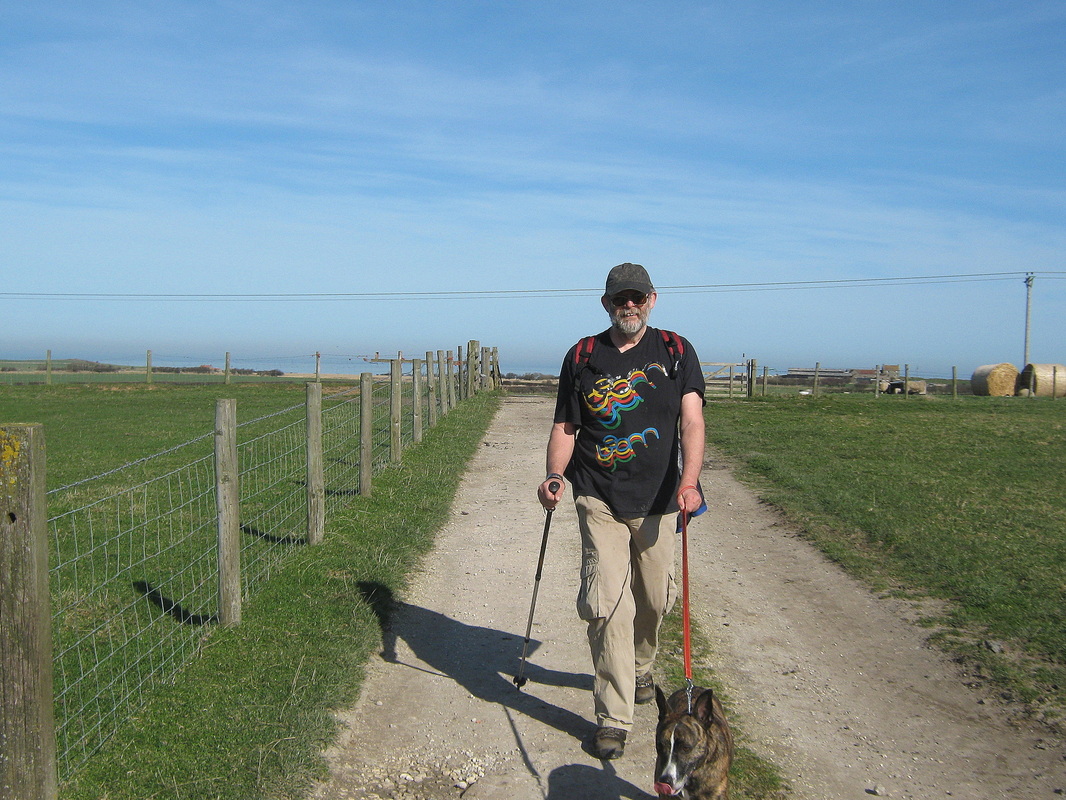
Todays walk was quite a change for me because for a long time now, most of my walking has been solitary rambles and the occasional outing with John. Todays walk was a little different as I was one of a party of six people (and two dogs), possibly for the first time since I walked with the Whitby Ramblers about 30 years ago. We parked the car in Seaton Crescent and then made our way to the bank top before making our way along Rolling Cross before descending into town by way of the Barrass & Barrass square, and then along Church Street to the cliff path. Following the route of the Cleveland way we made our way to Port Mulgrave and on to Runswick. Fortunately the tide was out so we had an easy walk along the beach to Hob Hole. The origional Hob hole which was probably destroyed by the activities of jet miners in Victorian time was reputedly the home of a Hob (goblin) who had the power to cure the whooping cough. Local women would carry their sick children to the cave and chant "Hob,Hob,Hob, My bairns got the kink cough, Tack it off, tack it off." Local records don't state if this was succesful or not. Hobs were also thought to frequent the nearby Claymoor Well allthough the location of this is no longer known.
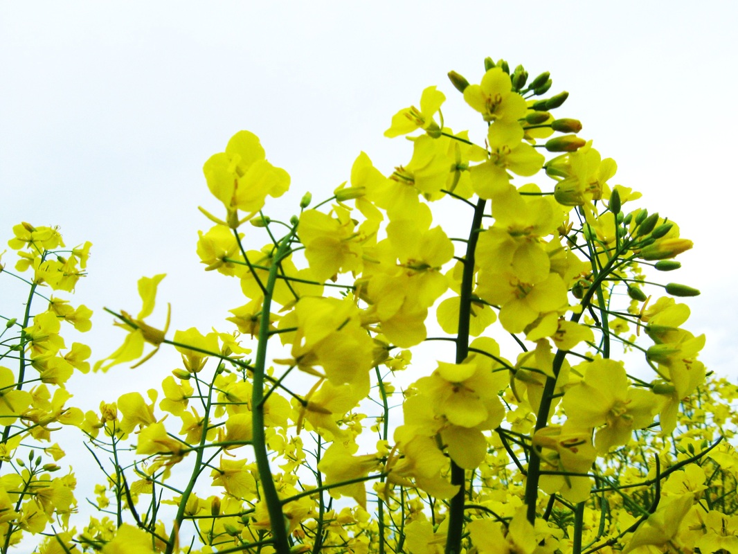
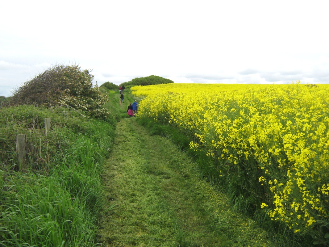
From Hob holes the path takes the stairway to the cliff top once again where there is a fine view of Runswick. Another mile brought us to Kettleness beyond which were a couple of fields planted with Rape seed which was in full bloom and shortly after that we came to another stairway, quite steep, going down to the Old railway near the Sandsend tunnel. I did venture through there many years ago, it was eerie then, goodness knowes what it is like now even if it is still passable. We followed the trackbed to Sandsend where we stopped for a cuppa before carrying on to Whitby.
All in all, an enjoyable day out.
Distance !!.5 miles
Terrain Well defined footpaths
Grade Easy to moderate
Weather Overcast and cool.
Todays walk was quite a change for me because for a long time now, most of my walking has been solitary rambles and the occasional outing with John. Todays walk was a little different as I was one of a party of six people (and two dogs), possibly for the first time since I walked with the Whitby Ramblers about 30 years ago. We parked the car in Seaton Crescent and then made our way to the bank top before making our way along Rolling Cross before descending into town by way of the Barrass & Barrass square, and then along Church Street to the cliff path. Following the route of the Cleveland way we made our way to Port Mulgrave and on to Runswick. Fortunately the tide was out so we had an easy walk along the beach to Hob Hole. The origional Hob hole which was probably destroyed by the activities of jet miners in Victorian time was reputedly the home of a Hob (goblin) who had the power to cure the whooping cough. Local women would carry their sick children to the cave and chant "Hob,Hob,Hob, My bairns got the kink cough, Tack it off, tack it off." Local records don't state if this was succesful or not. Hobs were also thought to frequent the nearby Claymoor Well allthough the location of this is no longer known.
From Hob holes the path takes the stairway to the cliff top once again where there is a fine view of Runswick. Another mile brought us to Kettleness beyond which were a couple of fields planted with Rape seed which was in full bloom and shortly after that we came to another stairway, quite steep, going down to the Old railway near the Sandsend tunnel. I did venture through there many years ago, it was eerie then, goodness knowes what it is like now even if it is still passable. We followed the trackbed to Sandsend where we stopped for a cuppa before carrying on to Whitby.
All in all, an enjoyable day out.
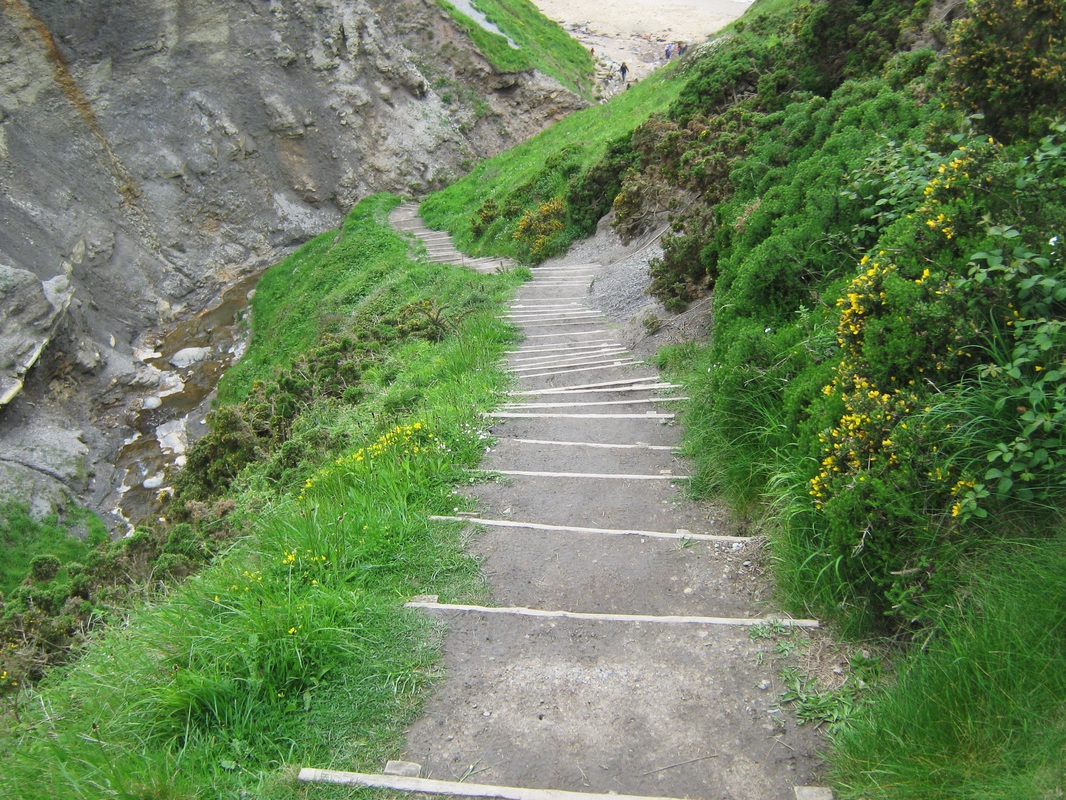
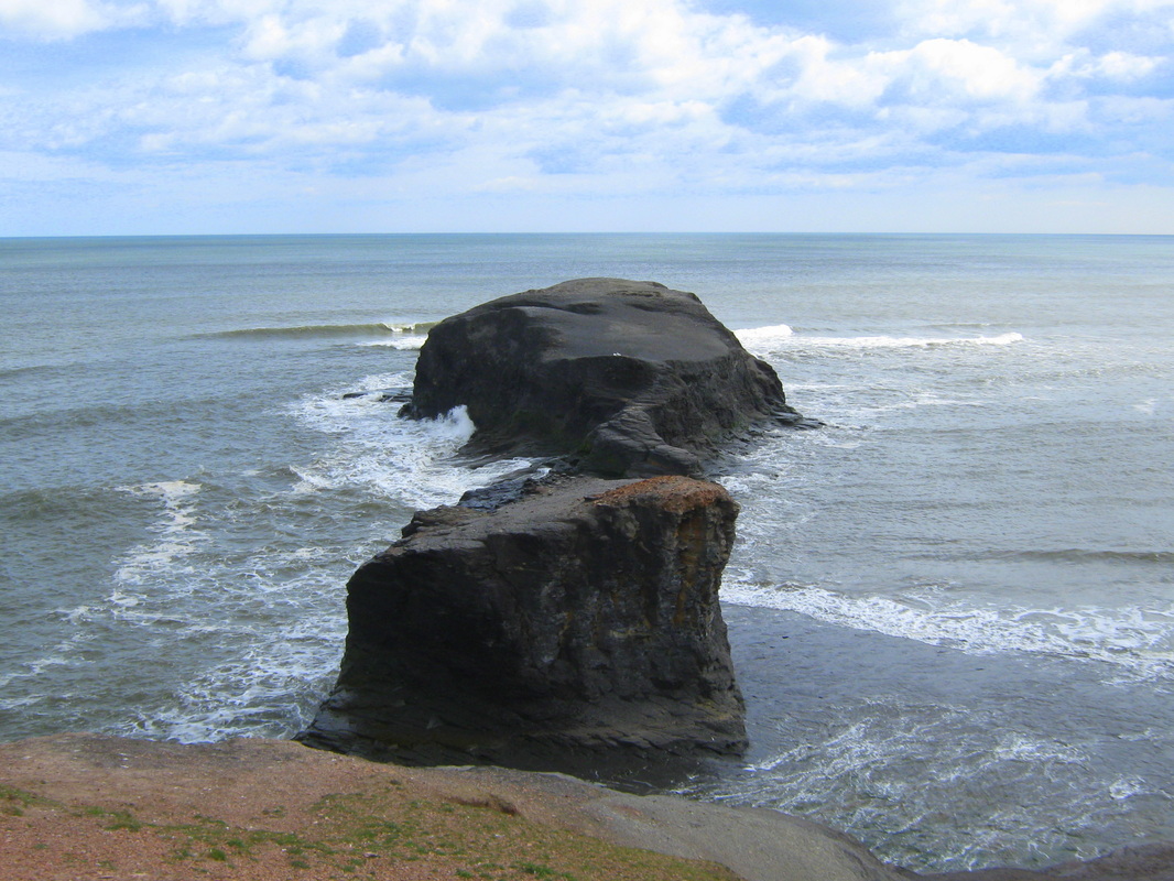
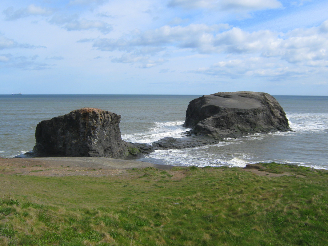
Whitby Hawsker & Stainsacre
Sun 13 May
Distance 9.6 miles
Terrain Footpaths & Bridleways
Grade Easy
A very similar route to the last entry. The photo's from today are placed with those below.
Distance 9.6 miles
Terrain Footpaths & Bridleways
Grade Easy
A very similar route to the last entry. The photo's from today are placed with those below.
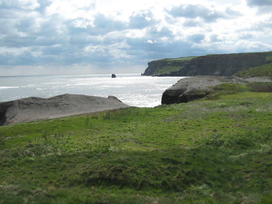
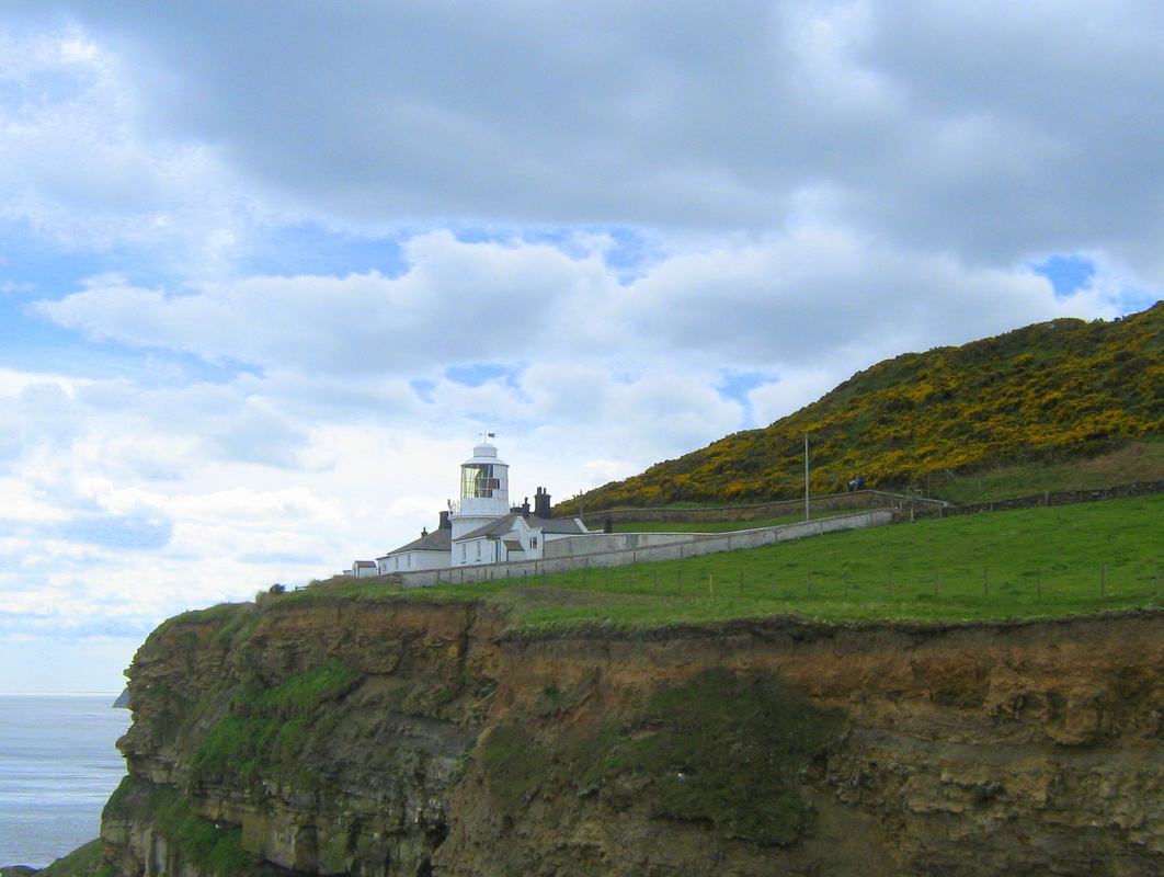
The Scar, Hawsker & Stainsacre
Sun 11 March
Distance 9.5 miles
Terrain Partly Rocky foreshore & partly field paths
Grade Moderate. but very difficult at one stage.
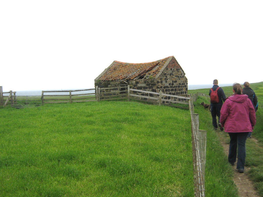
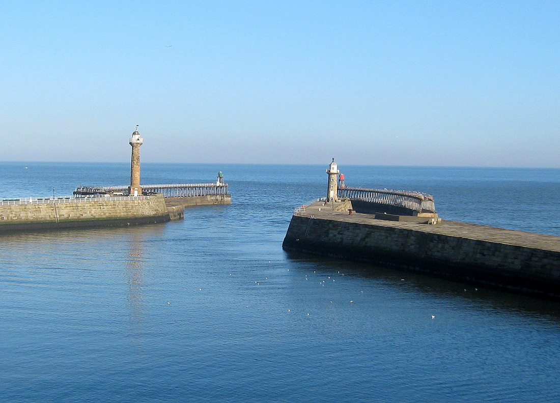
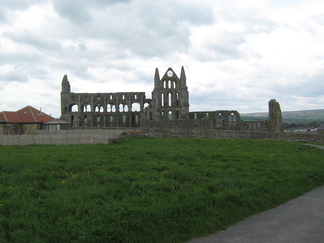
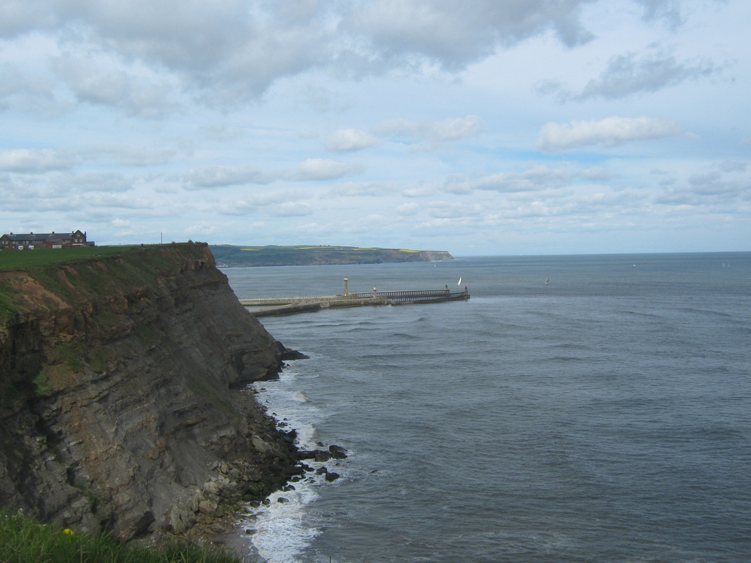
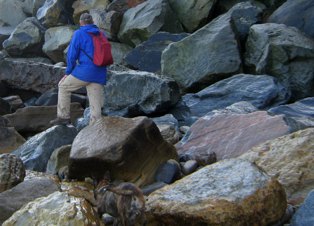
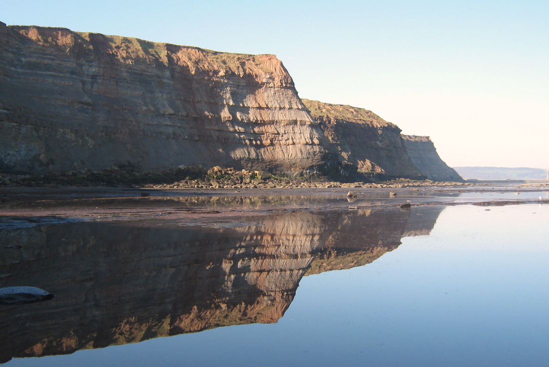
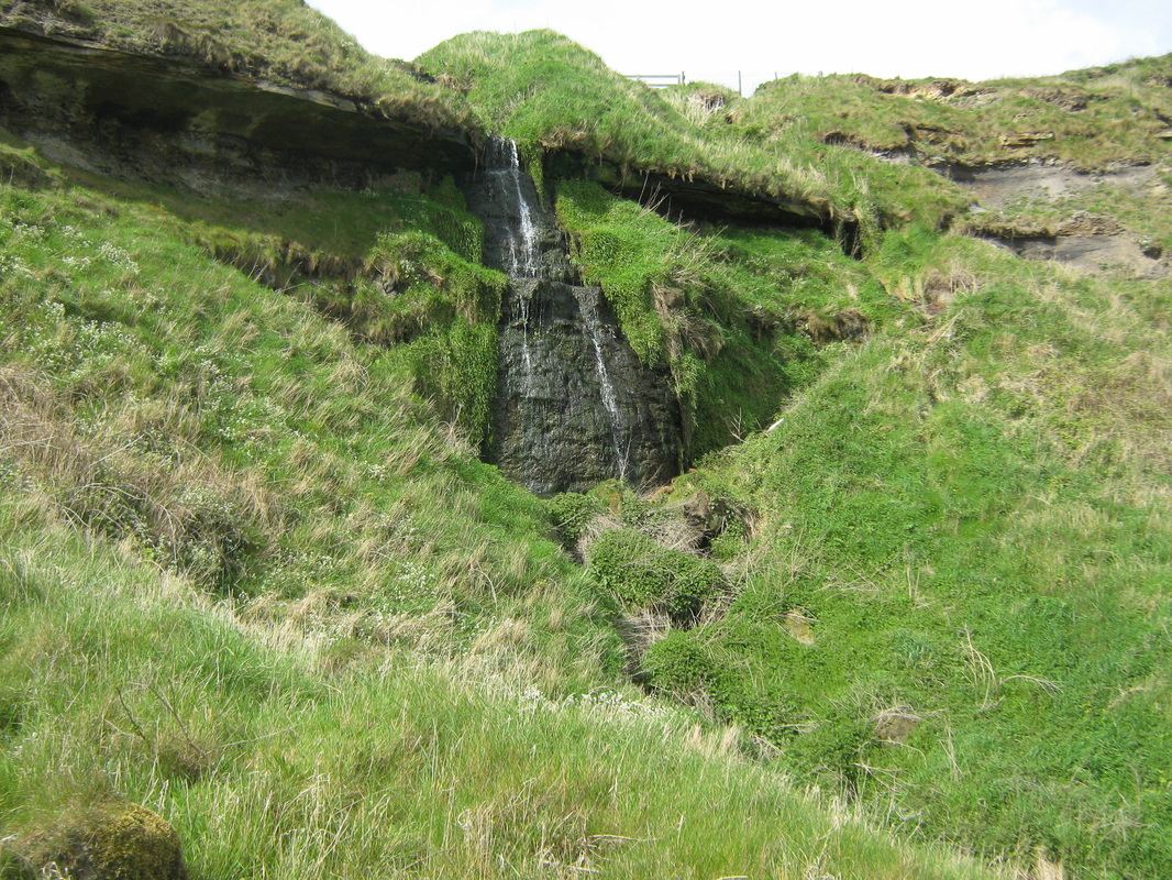
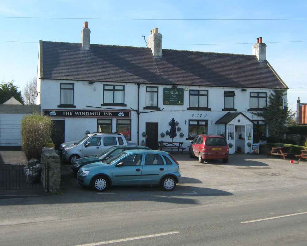
Todays walk took place on a sunny day which was almost like summer. Our route was from home, through the town to the east pier. From there we intended to go along the Scar to Saltwick Bay but because the tide was not yet low enough, we had a stroll along the East Pier, then back along Tate Hill Sands. Once the tide had ebbed sufficiantly we made our way along the Scar getting our feet wet along the way. We both took a tumble too, fortunately, nothing serious. Once at Saltwick we climbed to the top & followed the Cleveland Way until eventually we turned off across the fields to Hawsker, then back to Whitby via the old railway, stopping for a pint of 'Yorkshire Terrier at the Windmill on the way.
Distance 9.5 miles
Terrain Partly Rocky foreshore & partly field paths
Grade Moderate. but very difficult at one stage.
Todays walk took place on a sunny day which was almost like summer. Our route was from home, through the town to the east pier. From there we intended to go along the Scar to Saltwick Bay but because the tide was not yet low enough, we had a stroll along the East Pier, then back along Tate Hill Sands. Once the tide had ebbed sufficiantly we made our way along the Scar getting our feet wet along the way. We both took a tumble too, fortunately, nothing serious. Once at Saltwick we climbed to the top & followed the Cleveland Way until eventually we turned off across the fields to Hawsker, then back to Whitby via the old railway, stopping for a pint of 'Yorkshire Terrier at the Windmill on the way.
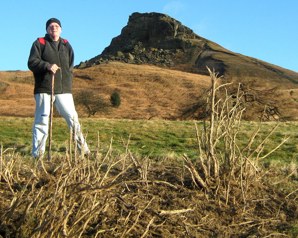
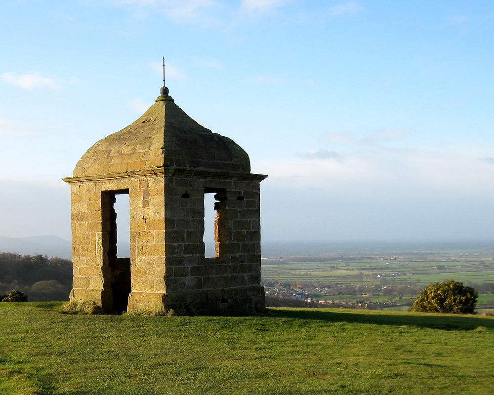
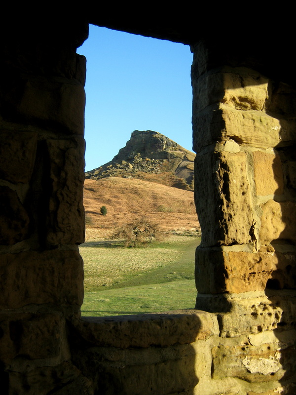
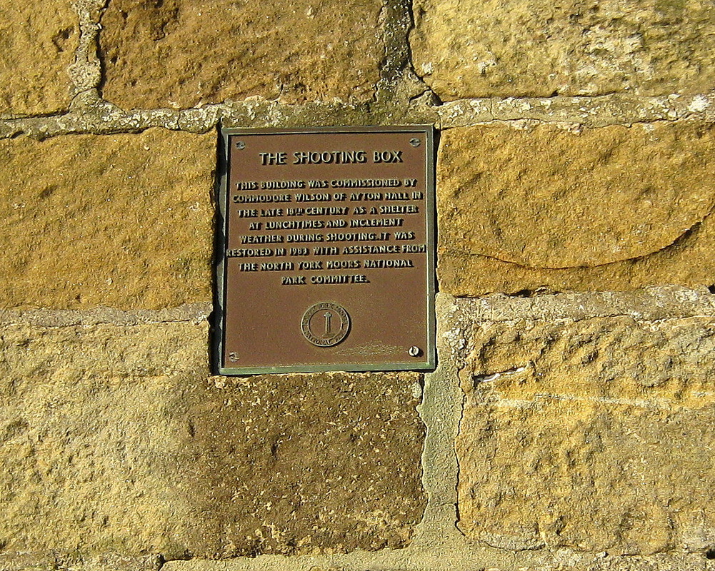
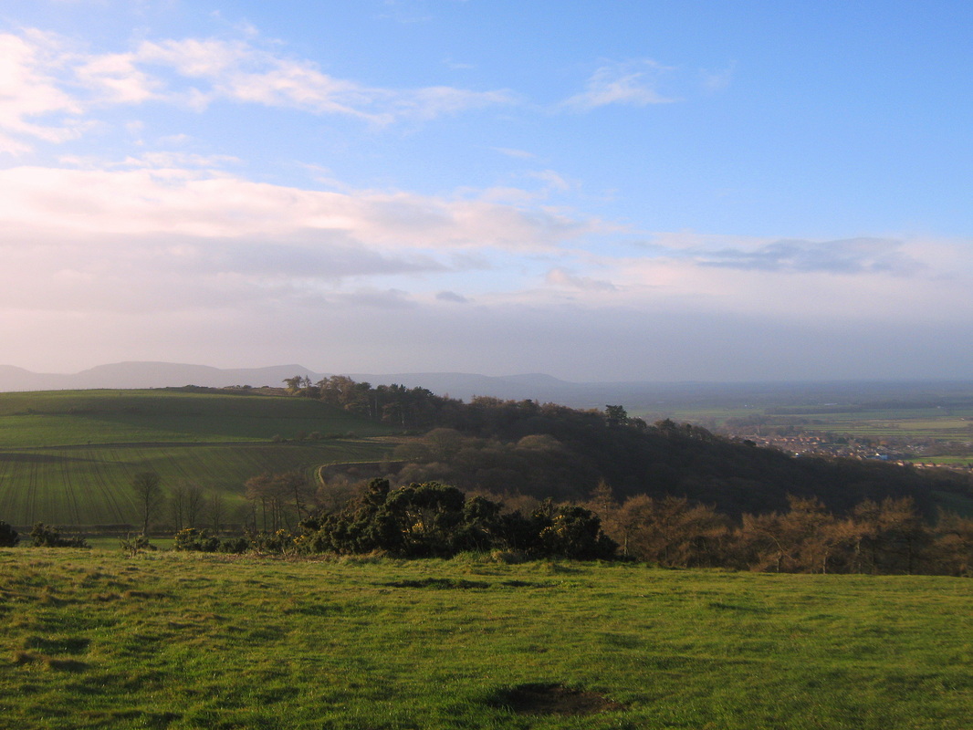
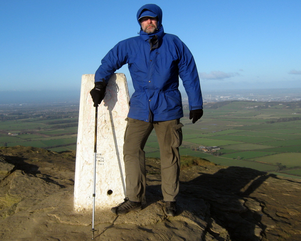
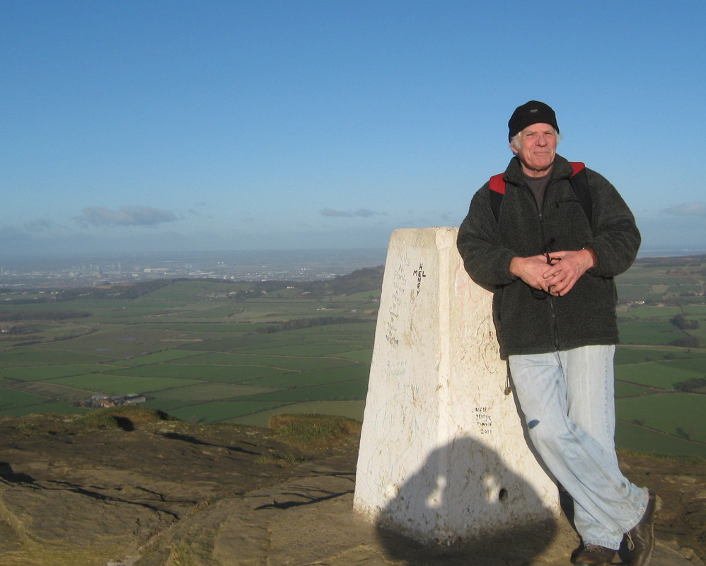
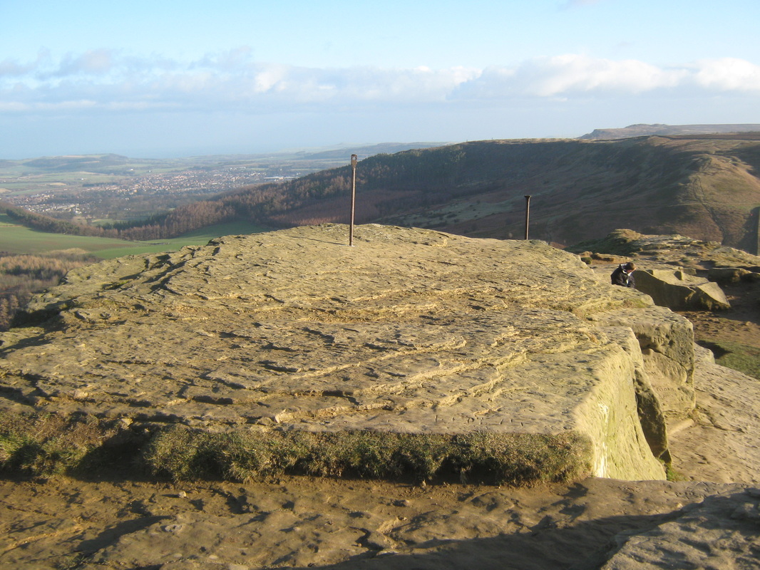
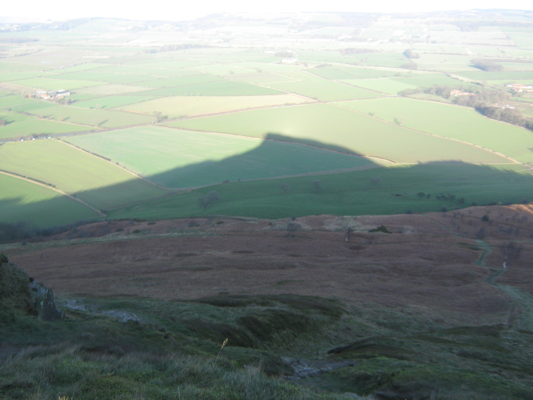
Roseberry Topping
Sun 22 Jan
Distance abt 3 miles
Terrain Hilly
Grade Moderate
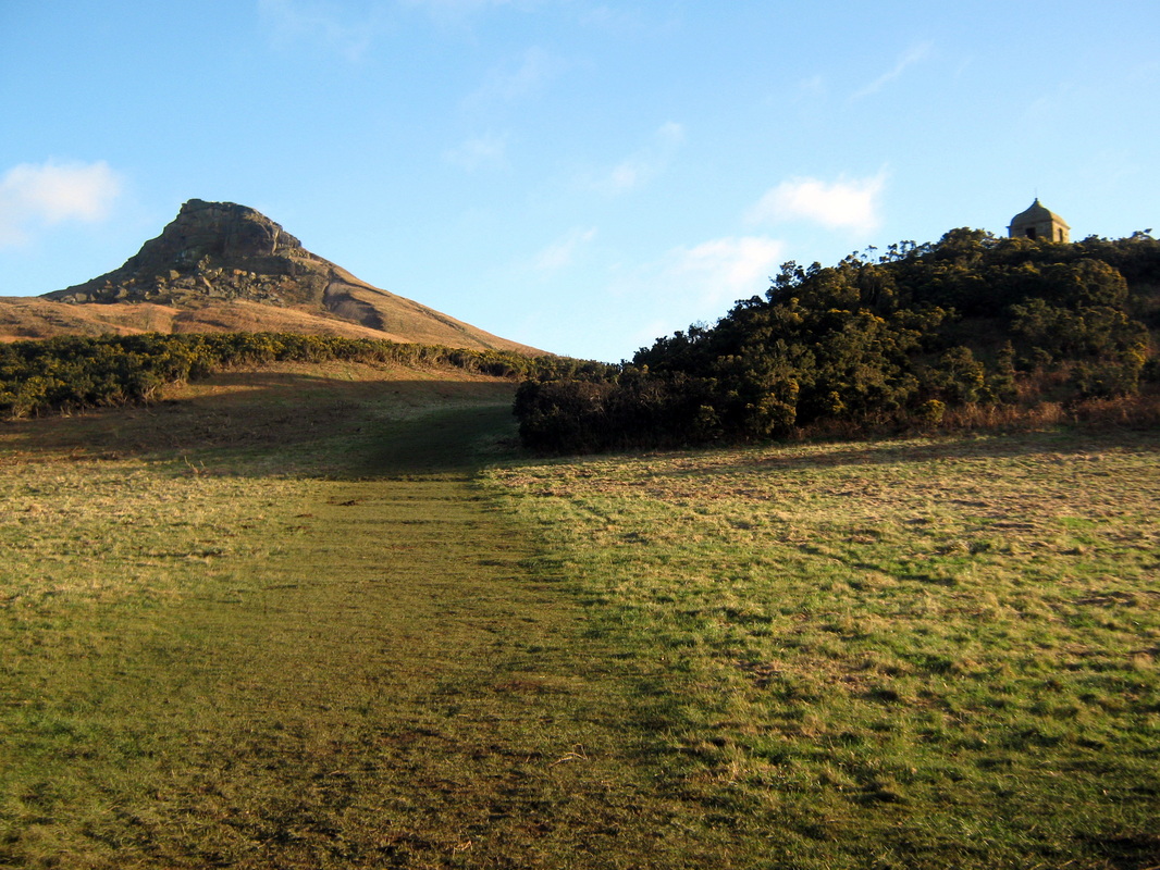
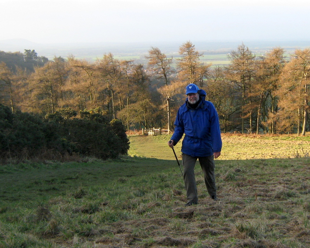
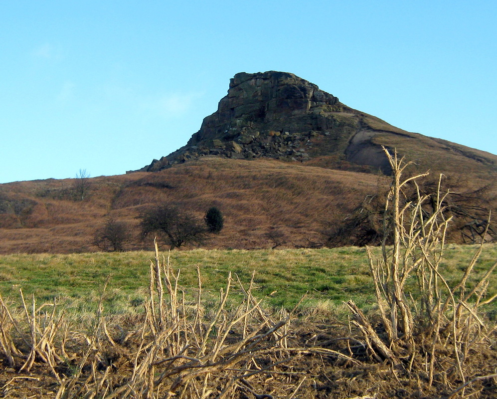
We had intended to go out on the bikes today but the forcast predicted winds with gusts of up to 60mph so we modified our plans and went for a walk instead. although it was only a short three miles or so we found it to be very enjoyable even though we encountered some pretty strong gusts of wind on occasions. After the walk we made our way to Great Ayton for a coffee before a leasurly drive home through the Esk Valley
Distance abt 3 miles
Terrain Hilly
Grade Moderate
We had intended to go out on the bikes today but the forcast predicted winds with gusts of up to 60mph so we modified our plans and went for a walk instead. although it was only a short three miles or so we found it to be very enjoyable even though we encountered some pretty strong gusts of wind on occasions. After the walk we made our way to Great Ayton for a coffee before a leasurly drive home through the Esk Valley

Larpool Wood, Sneaton, Golden Grove.
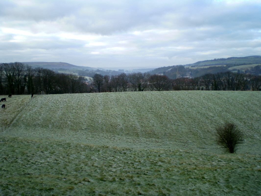
Sun 15th Jan
Distance, abt 7.5 miles
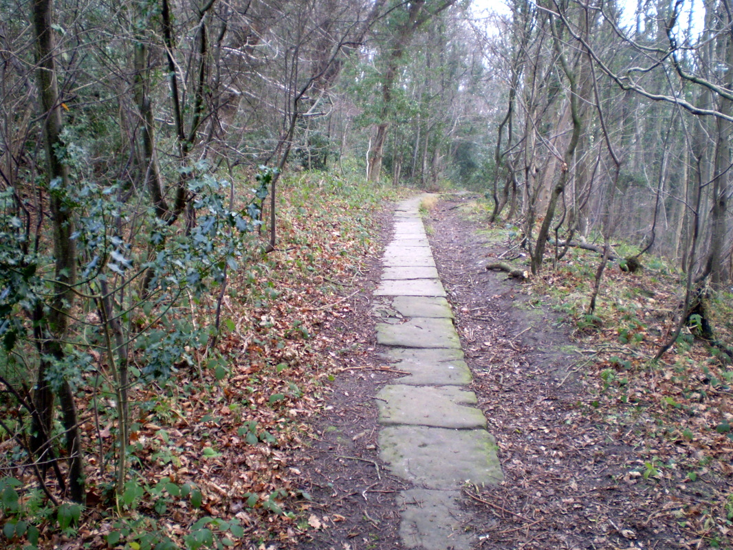
Terrain Mainly farmland with some woodland.
Grade Easy
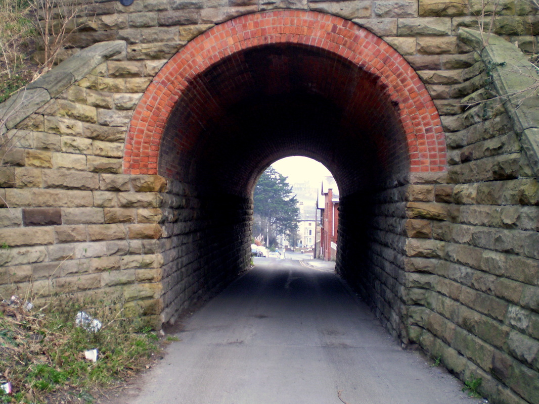
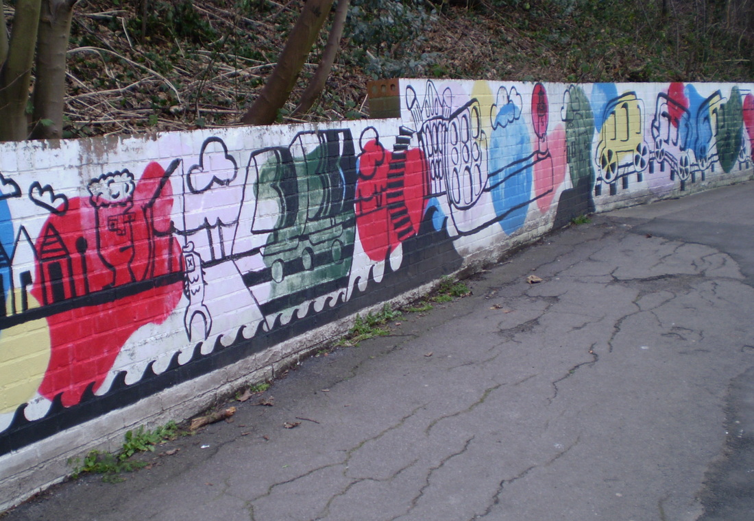
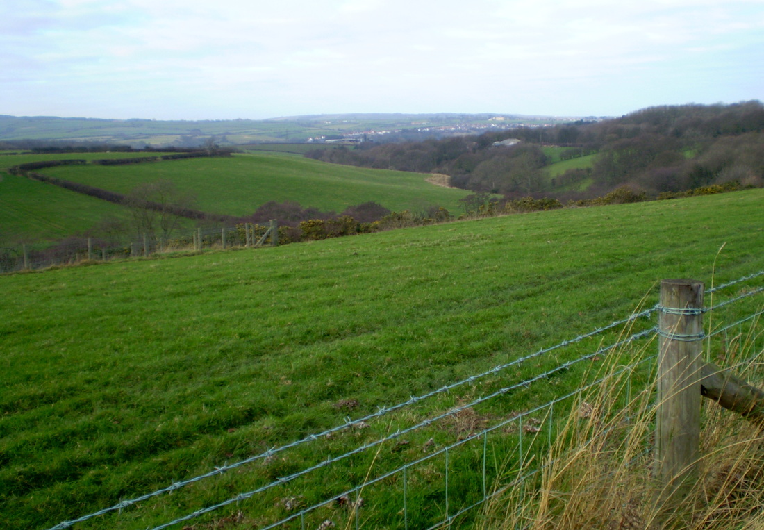
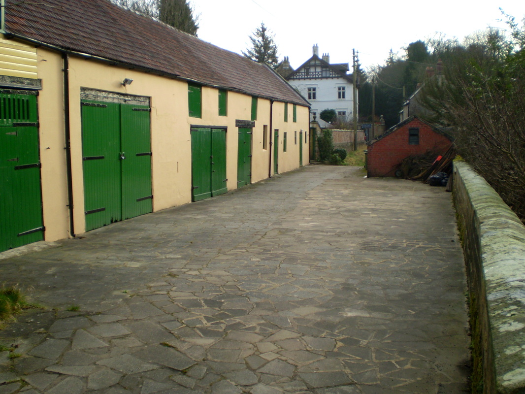
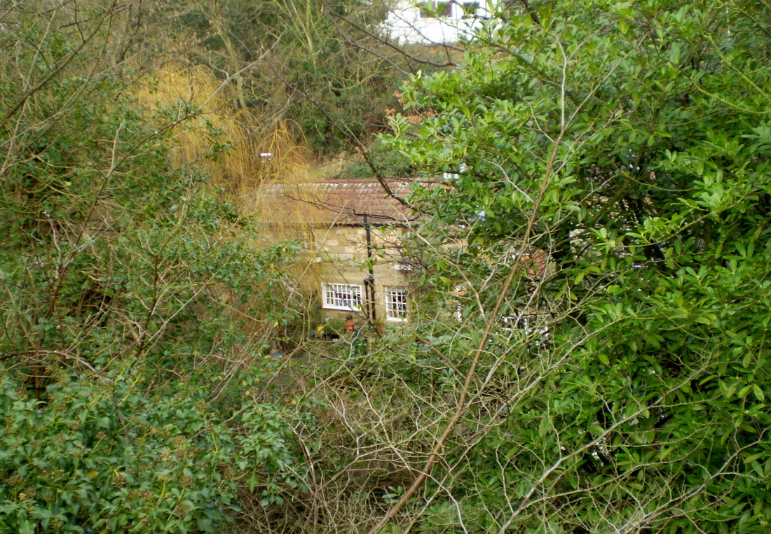
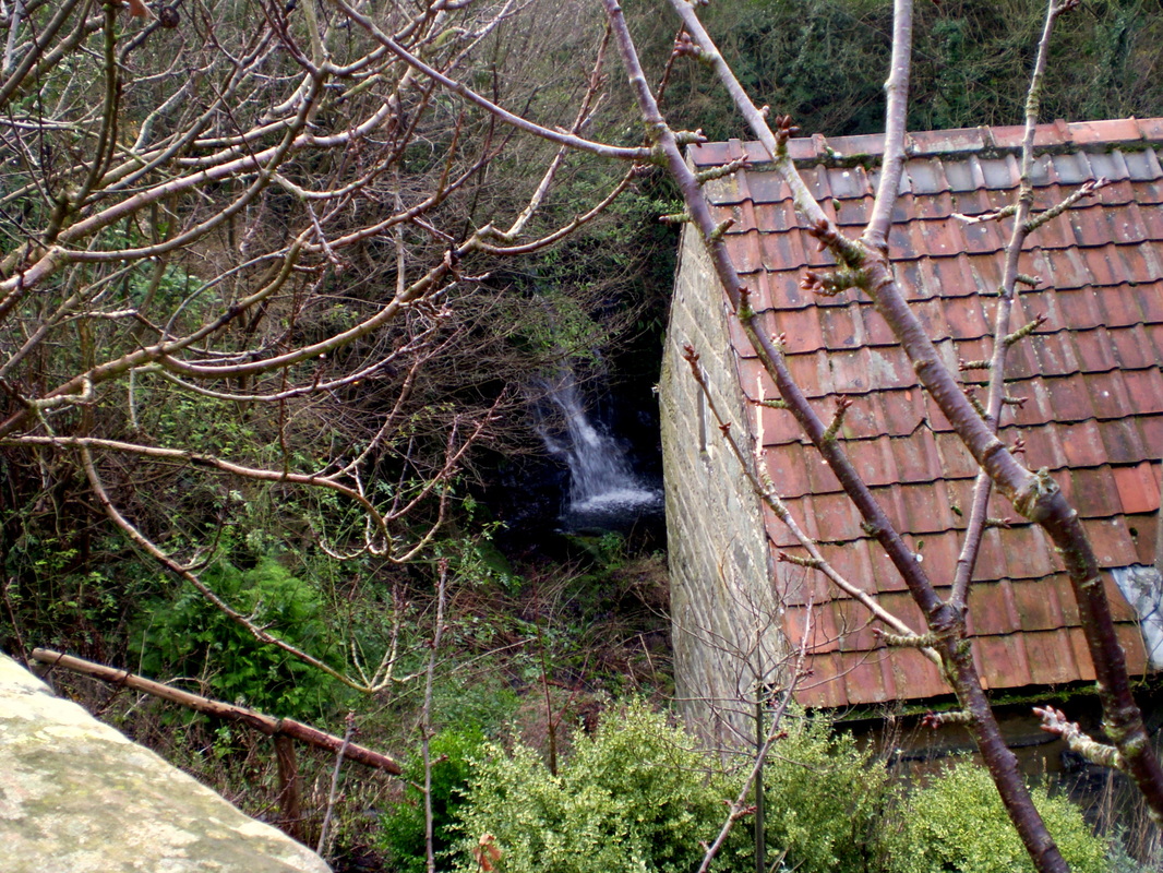
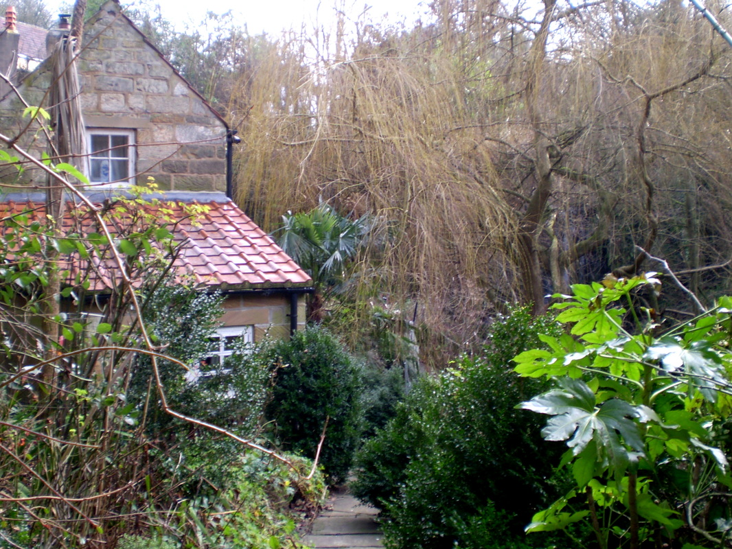
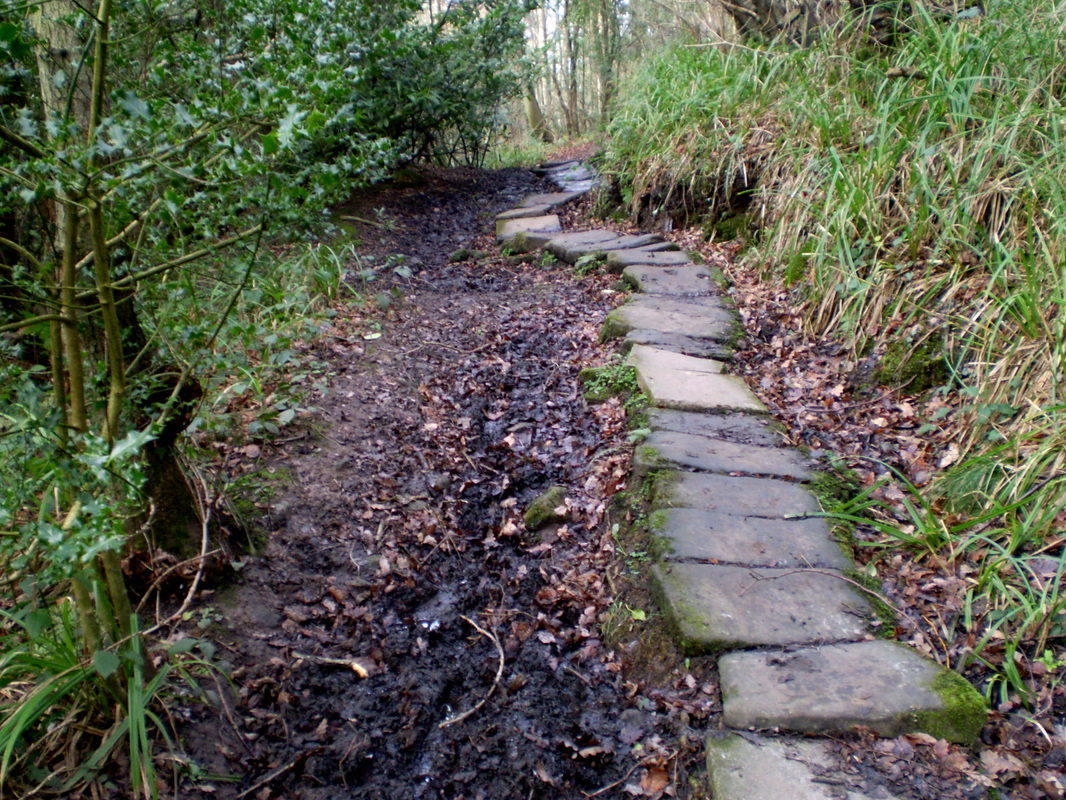
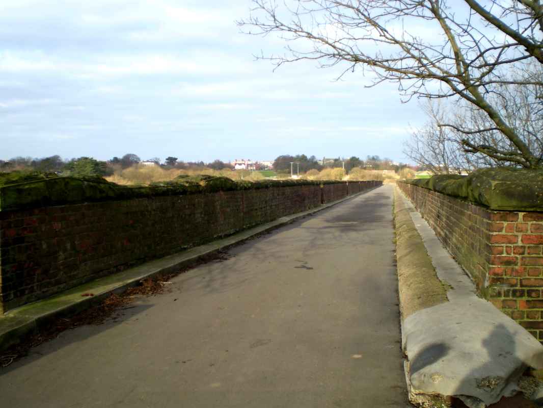
It started out being a bitterly cold morning, mainly overcast but there were occasional glimpses of the sun. I made up the route as I went along using some paths which I have used before and some which were new to me. The route was as follows. From my home in Whitby I made my way to the old Scarborough, Whitby railway line, crossed the viaduct and left the track at Larpool Lane which I followed to Danger Bank. By Squirrels Acres Cottage I followed the path into the wood and at the two bridges, I turned right following the Monks Causway to Sneaton where I turned left and after passeing the Wilson Arms, turned right right along a public footpath over the fields. At the end of the path I turned left and then left again at Mortar House Farm along a bridleway which led back in the direction of Sneaton. at the end of the bridleway I turned right and followed the path untill eventually I arrived at Golden Grove. from there I continued into Larpool Woods again and followed my outward route back home.
Distance, abt 7.5 miles
Terrain Mainly farmland with some woodland.
Grade Easy
It started out being a bitterly cold morning, mainly overcast but there were occasional glimpses of the sun. I made up the route as I went along using some paths which I have used before and some which were new to me. The route was as follows. From my home in Whitby I made my way to the old Scarborough, Whitby railway line, crossed the viaduct and left the track at Larpool Lane which I followed to Danger Bank. By Squirrels Acres Cottage I followed the path into the wood and at the two bridges, I turned right following the Monks Causway to Sneaton where I turned left and after passeing the Wilson Arms, turned right right along a public footpath over the fields. At the end of the path I turned left and then left again at Mortar House Farm along a bridleway which led back in the direction of Sneaton. at the end of the bridleway I turned right and followed the path untill eventually I arrived at Golden Grove. from there I continued into Larpool Woods again and followed my outward route back home.