|
January
2 runabout 8.3 4 Egton, Ugthorpe & Lythe 17.3 6 Skelder 7.7 7 Circular 10 11 Danby Beacon 24.5 19 Egton Ugthorpe & Lythe 17.3 23 RHB 12.8 25 Aislaby, Briggswath, Whitby. 8.9 29 Redgates 11.5 TOTAL for month 118.3 |
February
3 RHB Via Whitby Laithes 15 7 Aislaby, Ugthorpe, & Lythe 17 12 Ravescar via cinder track 23.2 13 Aislaby, B/wath, Whitby 8 14 Runabout 9 16 Grosmont & Goathland 20.9 21 Aislaby, Ugthorpe, & Lythe 17 23 Sandsend, Dunsley & Skelder 7.7 25 Aislaby, Ruswarp, Hawsker 13.7 26 Aislaby, Ugthorpe, Lythe. 17 28 Glaisdale 26.3 TOTAL for month 178.8 Total for year 297.1 |
March
3 Aislaby, Ruswarp. 9.5 6 Ravenscar & RHB 29.1 10 Briggswath & Ruswarp 7.8 13 Briggswath & Ruswarp 8.7 15 Egton Ugthorpe & Lythe 17.8 18 Egton, Ugthorpe, Lythe 18 20 Ravenscar 22.9 25 Fryupdale & Rosedale 40 28 RHB via Brownhills 12.9 29 Aislaby via Briggswath 10 30 Aislaby, Egton, Lythe 18.7 Total for month 195.4 TOTAL for year 492.5 |
April1 Aislaby, Briggswath, Whitby 9
2 Aislaby, Egton, Lythe 17 6 Ravenscar 23.3 8 Sandsend, Skelder 7 11 Hinderwell via Danby X 21.7 12 Hinderwell to Whitby 11.8 13 Aislaby, Briggswath 9 18 Sandsend, Skelder 7.9 20 Aislaby, Briggswath 9.1 22 Littlebeck 13 24 Danby Beacon vi Hinderwell 42.3 25 Ravenscar 21.4 26 Aislaby, Briggswath 8.8 27 Sandsend, Skelder 7.9 29 Runabout 8 30 Littlebeck & Sleights 16.2 Total for month 233.4 Total for year 725.9 |
May1 Aislaby, Lythe 18.3
2 Skeder & Aislaby 12 3 Louven Howe & Lilla Cross 23.4 6 Lealholme. 24.5 7 Aislaby Briggswath 8.9 8 Lealholme & Duck Bridge 29.3 10 Ravenscar 24 12 Aislaby, Egton, Lythe. 18.4 16 Heartbeat Country 26.3 20 Littlebeck, Goathland , Grosmont 25. 22 Fyling Hall 19.2 24 Danby Beacon & Lythe 29.2 27 Aislaby, Briggswath 8.9 28 C2C over 5 days 181.2 Total for month 448.6 Total for year 1174.5 |
June Aislaby,Briggswathe 9,1
10 Aislaby, Briggswath 8.6 11 Redgates 11.5 13 Mickleby Circular 19.3 17 RHB & Whitby Laithes 15.4 19 Ravenscar 26.2 20 Sandsend & ret 5.5 24 Ugglebamby 14 27 Aislaby, Briggswath 9.3 28 Aislaby, Briggsworth 9.2 29 Dunsley & Skelder 8.4 30 Hawsker & Gnipe Howe 10.4 Total for month 146.9 Total for year 1321.4 |
|
JULY
2 Aislaby, Briggswath 9.1 3 Dunsley, Skelder 8.9 5 Dunsly Aislaby Circular 11.8 6 Aislaby, Egton, Lythe 17 11 Fyling Old Hall 19.2 14 Dunsley Aislaby, Circular 11.3 15 Newholme Briggswath 11.3 18 Dunsley & Sandsend. 9.1 19 Kettlenesse via Dunsley 23.4 20 Aislaby Briggswath 8.9 24 Skinninggrove 34.6 27 Holy Island 50.4 29 Aislaby, Egton, Lythe 18.3 Total for month 233.3 Total for year 1554.7 |
August
01 Malcolms invitation ride 25 03 Ravenscar 25.6 05 Aislaby, Briggswath. 9.1 07 Limber Hill 19.0 08 RHB 13 09 Newholme, Dunsley. 6.4 10 Aislaby, Briggswath 9.1 12 Glaisdale 13.3 13 Robin Hoods Bay 16.2 18 Aislaby & Briggswath 8.8 19 Aislaby, Ugthorpe 17.6 26 Aislaby, Ugthorpe, 18.3 30 12 mile circular 12.4 21 12 mile circular 12.4 Total for month 206.2 Total For Year 1760.9 |
September
01 12 mile circular 12.4 05 Redgates 13 06 12 miler 12.4 07 12 miler 12.4 08 12 miler 12.4 09 Aislaby, Ugthorpe 18.3 11 Lealholme 21.3 14 May Beck 20.9 15 Ugthorpe 20.9 16 Blue Bank 16.6 18 Golden Grove etc 10.3 21 sea wall 4.4 22 12 miler 12.4 23 Ravenscar 23.2 26 Aislaby & Briggswath 9.1 28 Ugthorpe & Stonegates 26.3 30 Hawsker & Gnipe Howe 9.6 Total for month 255.9 Total for Year 2016.8 |
October1 12 miler 12.4
2 Aislaby, Egton, Lythe 18.4 5 Goathland via Grosmont 20.3 6 Robin Hoods Bay 13.5 7 Sponsored Ride 50.8 9 Glaisdale Loop 27.6 12 12 miler 12.4 14 Oakley Walls 33.1 17 Kettleness 17.7 19 Dunsley-Lythe 13.6 21 Egton, Littlebeck. 22.2 20 Aislaby 6.6 25 Egton 12,9 28 AISLABY, Egton, Lythe 18,5 30 Skelder 14.7 Total for month 294.7 Total for year 2311.5 |
November
3 12 miler 12.3 4 Aislaby, Egton, Lythe 18.5 10 Egton 19.3 11 12miler 12.4 15 Egton & Mickleby 22.9 23 Ugthorpe & Egton 26.3 24 Egton Lythe 16.3 27 Egton Grosmont 21 30 Aislaby, Briggswath 12.3 Total for Month 161.3 Total for Year 2472.8 |
December4 Ravenscar 27.8
8 Ugthorpe, Stonegate 24.2 13 May Beck 17 16 Egton 13.8 18 12 Miler 12.4 21 Ugthorpe & Stonegates 24.7 26 Egton-Lythe 26.4 30 Egton Lythe 20 Total for Month 166.3 Total for year 2639.1 |
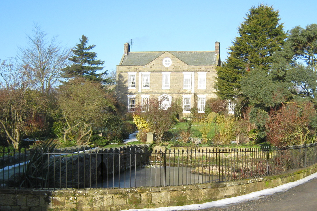
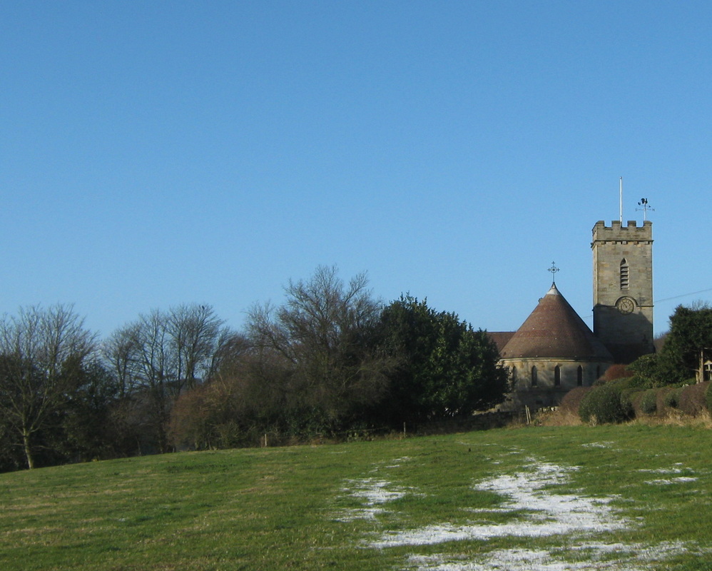
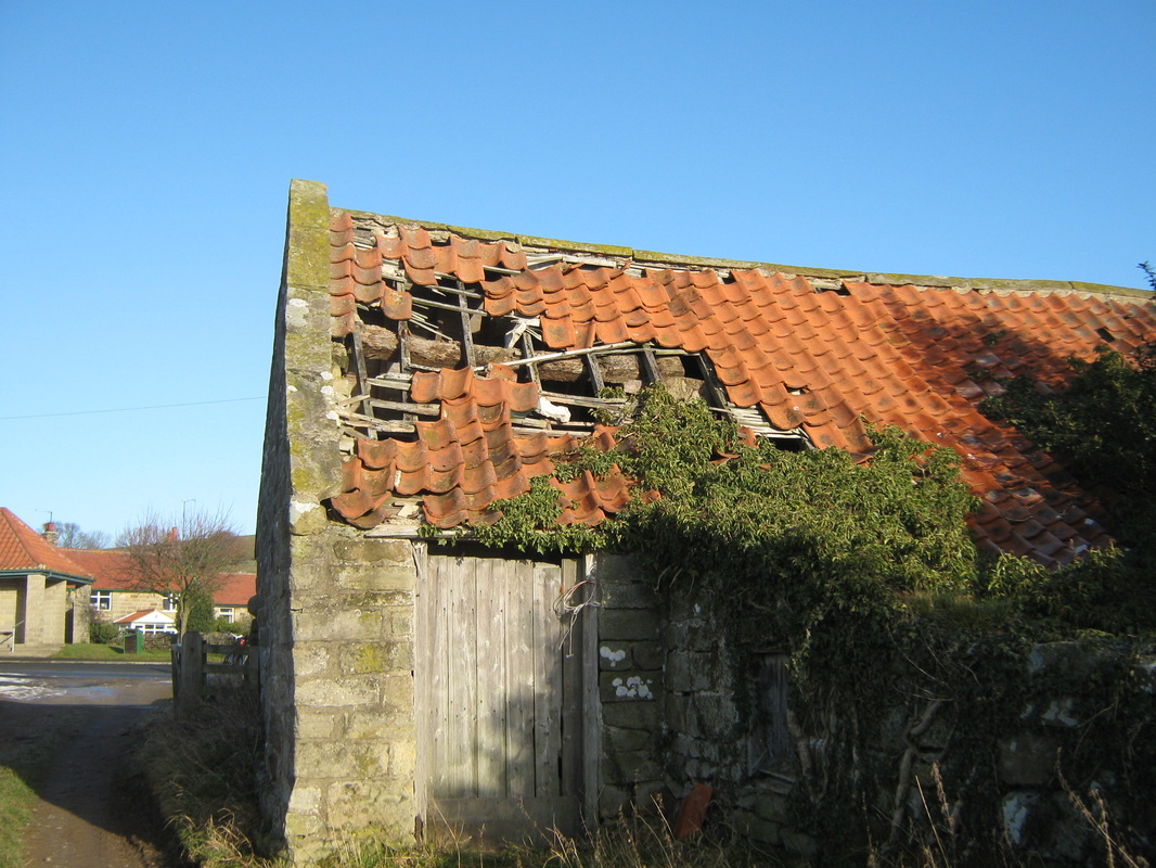
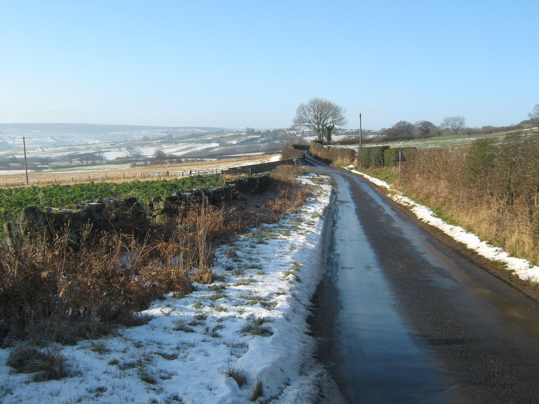
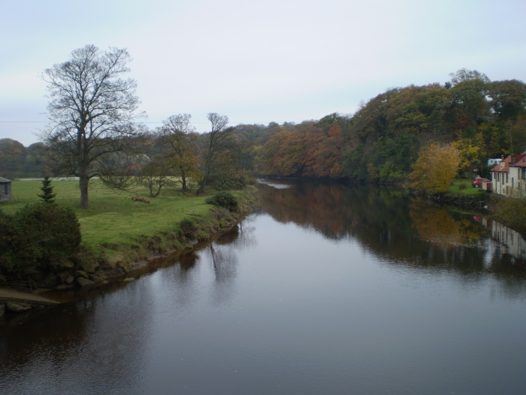
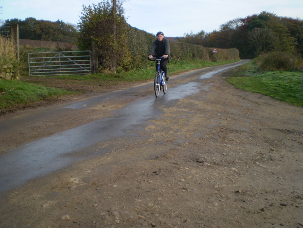
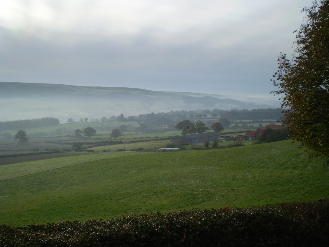
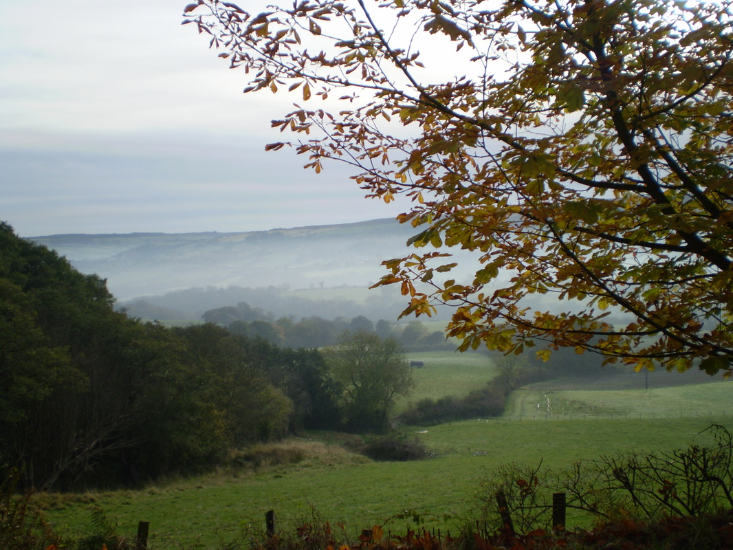
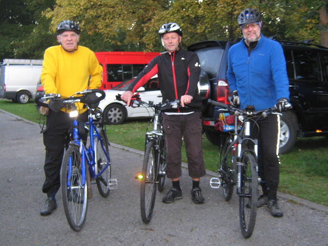
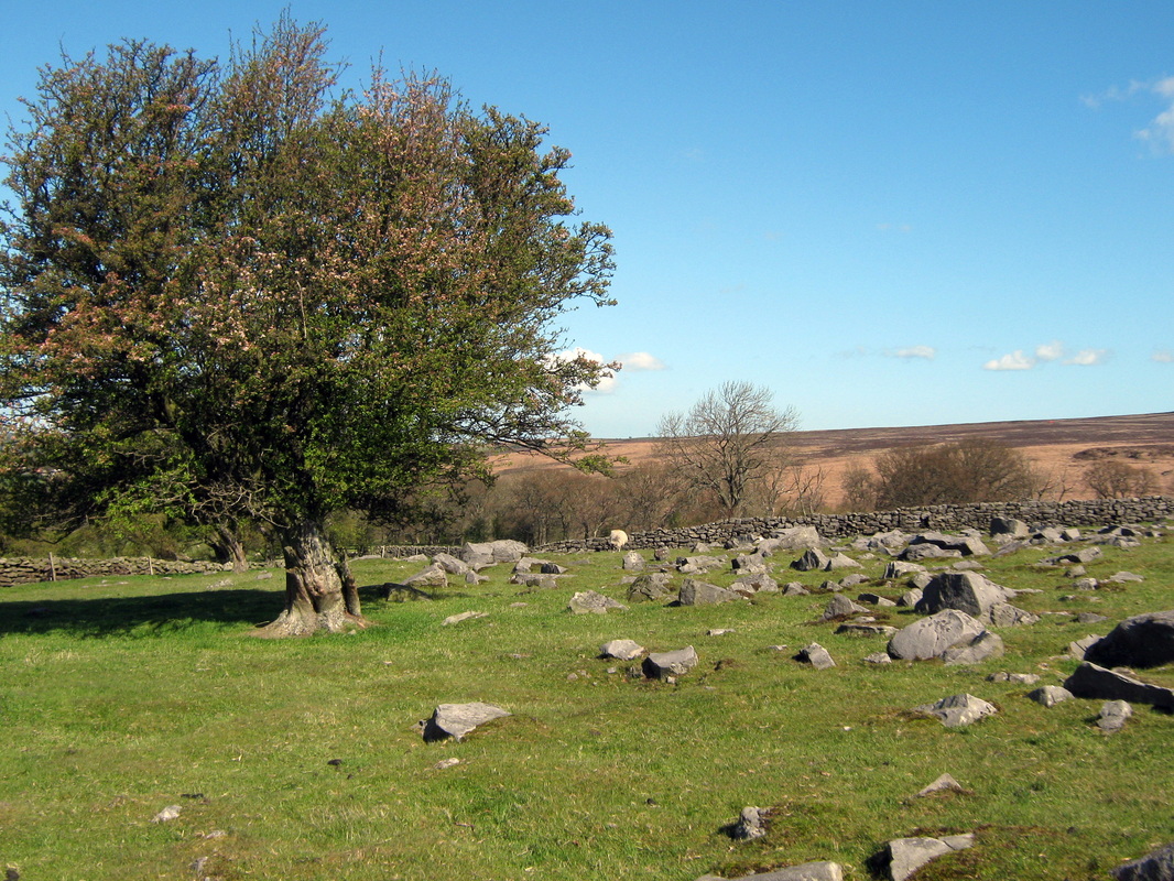
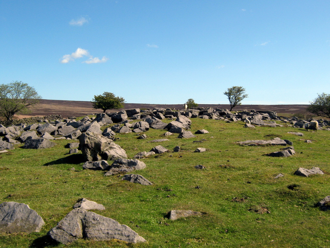
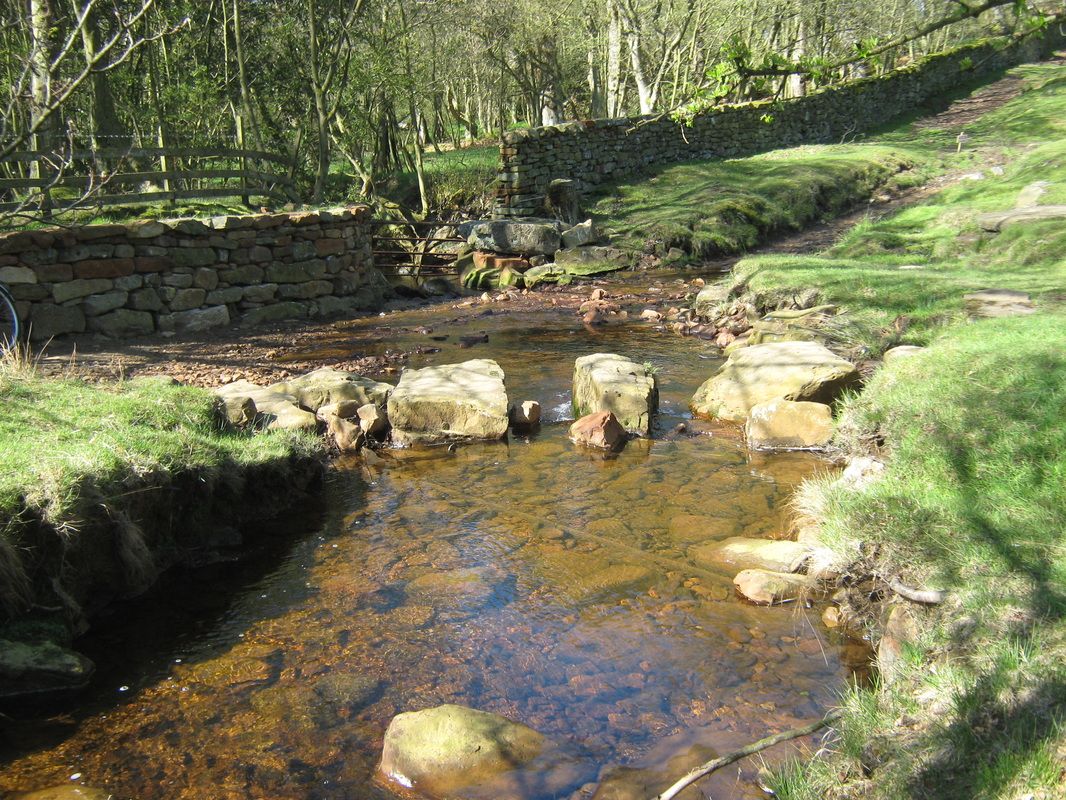
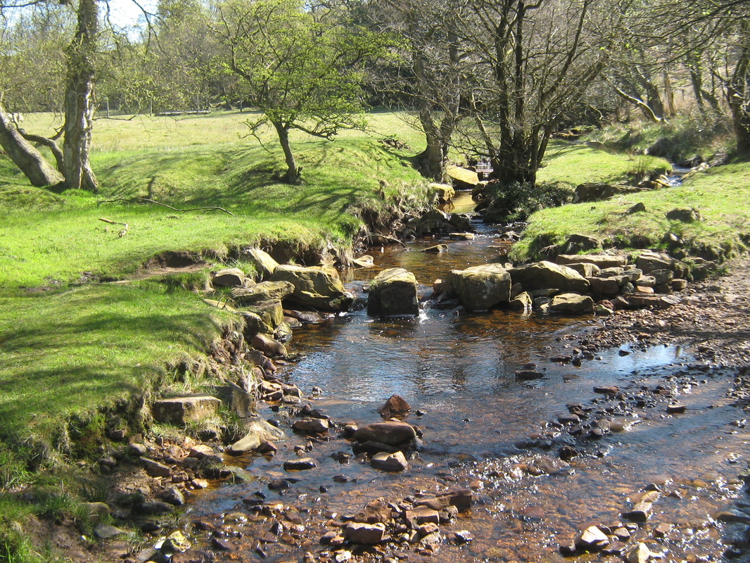
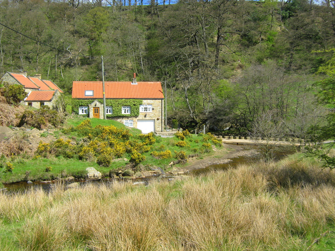
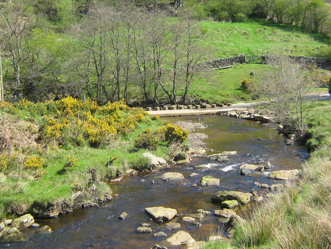
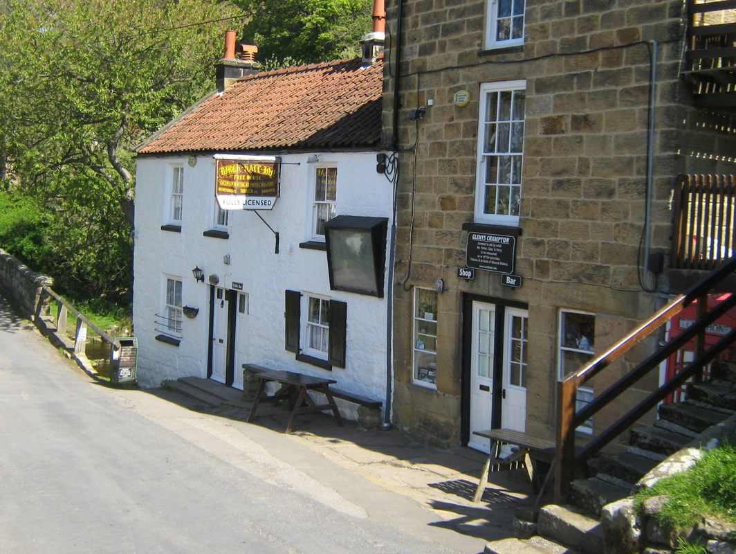
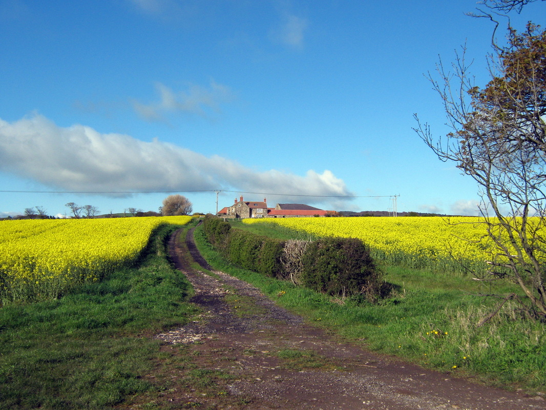
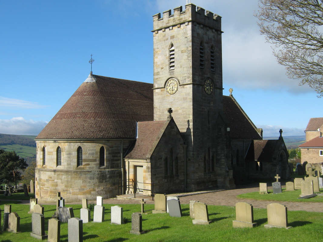
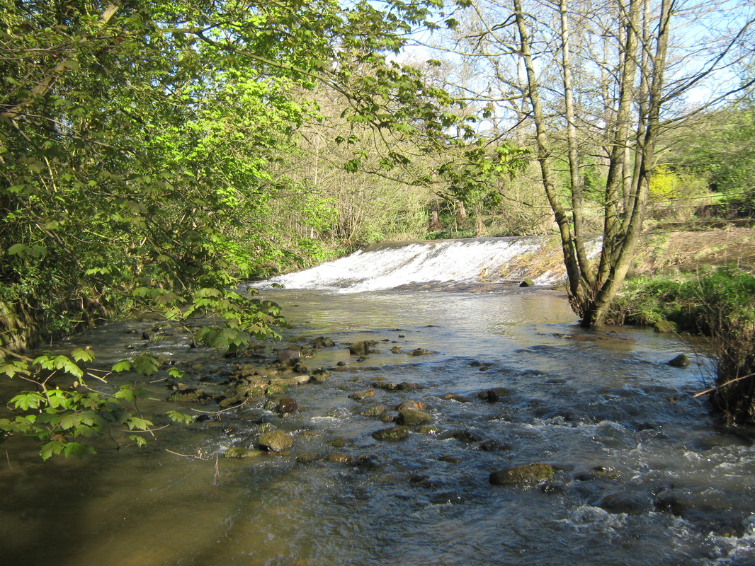
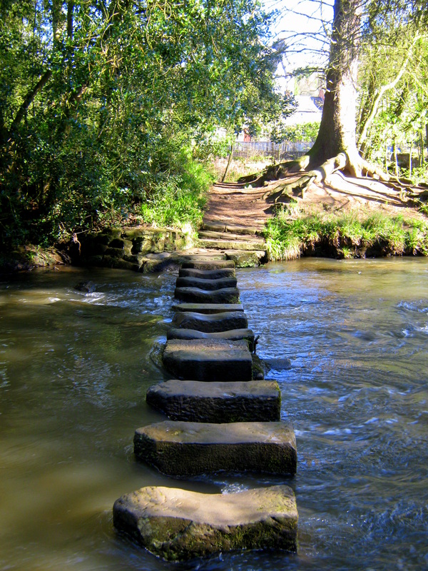
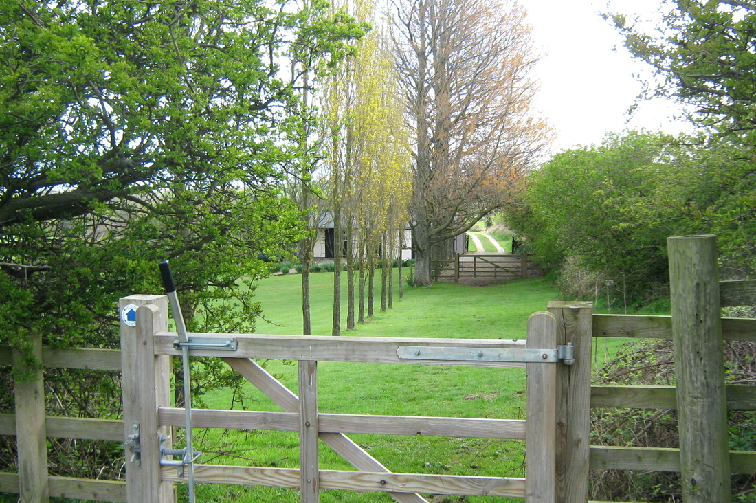
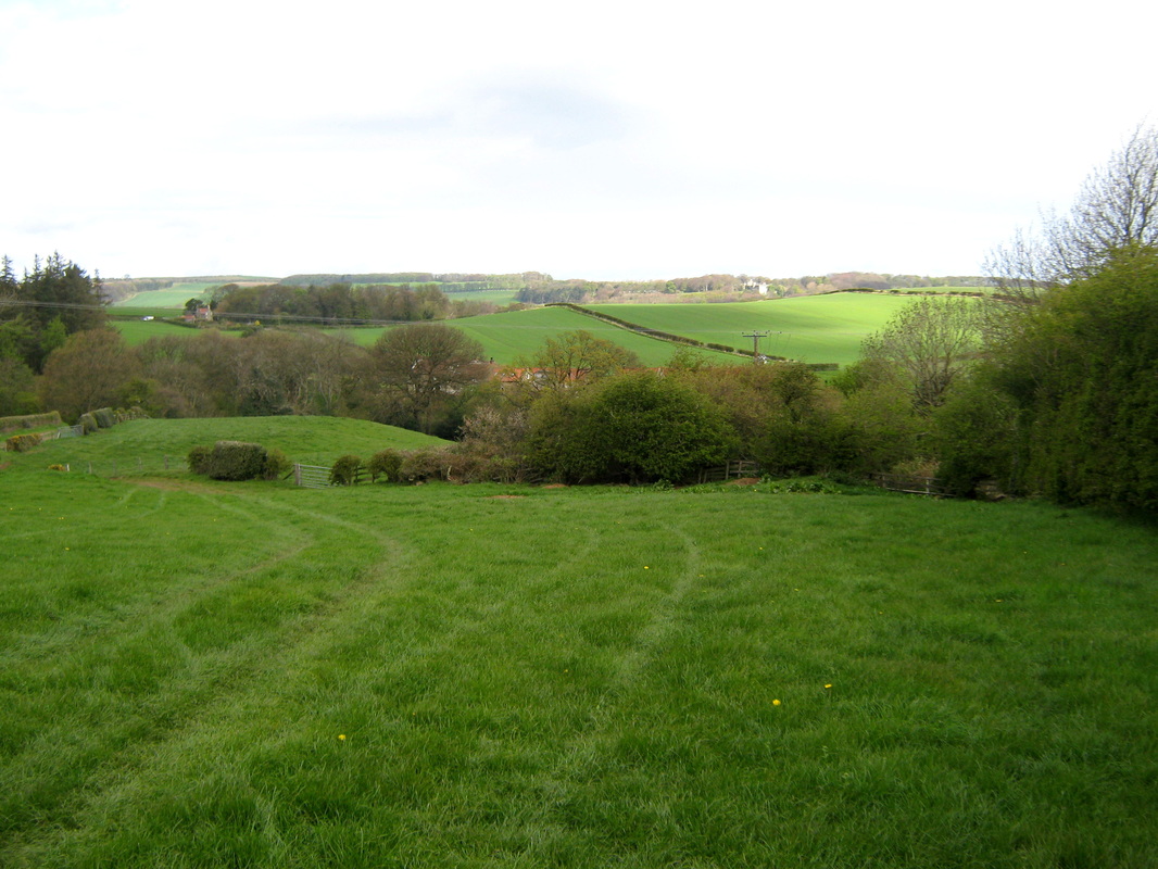
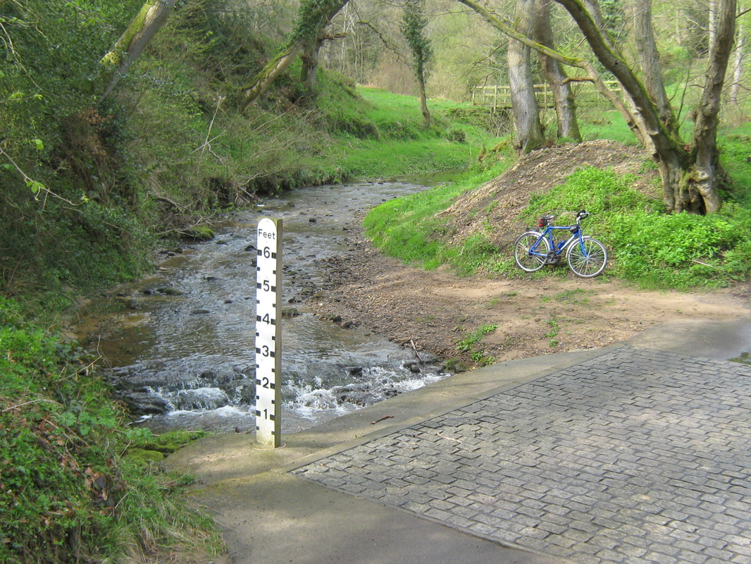
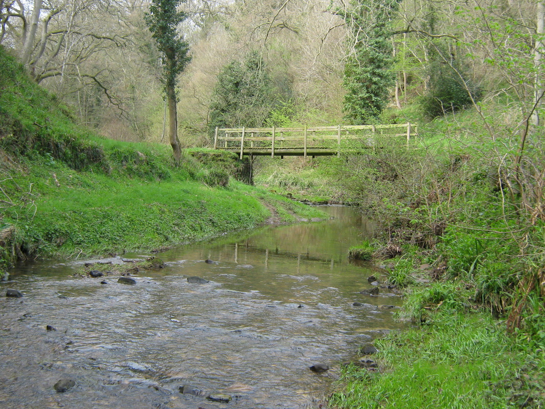
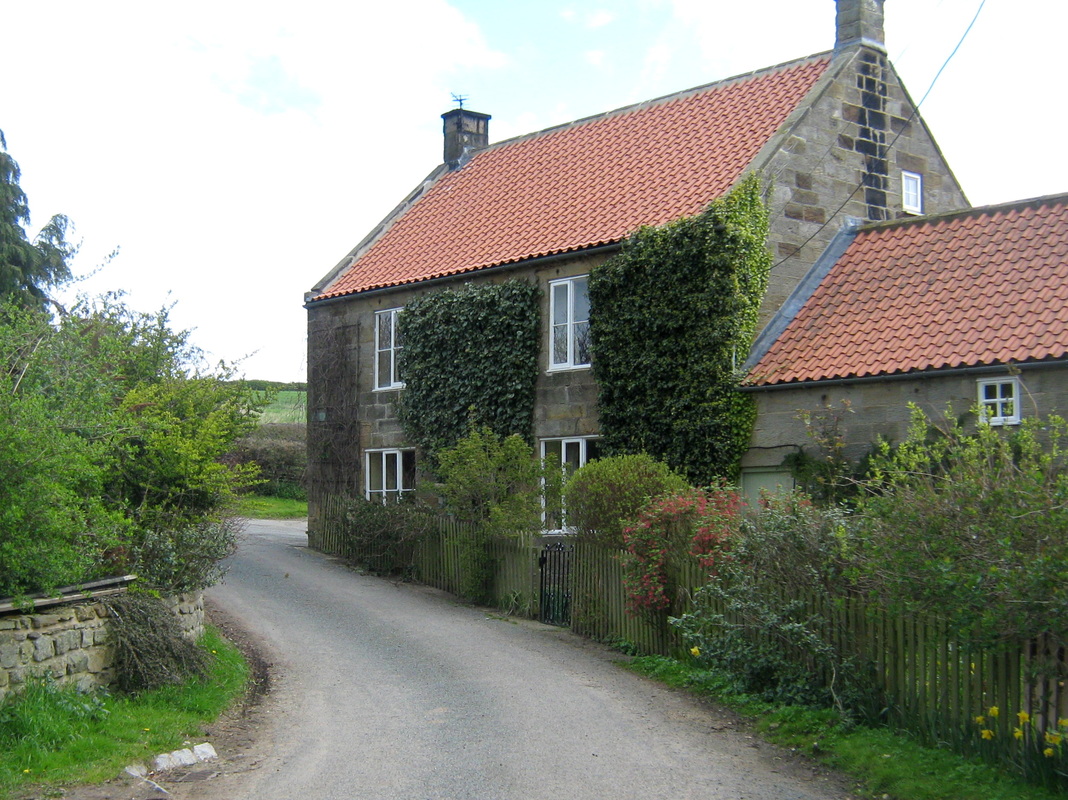
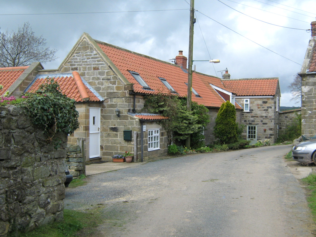
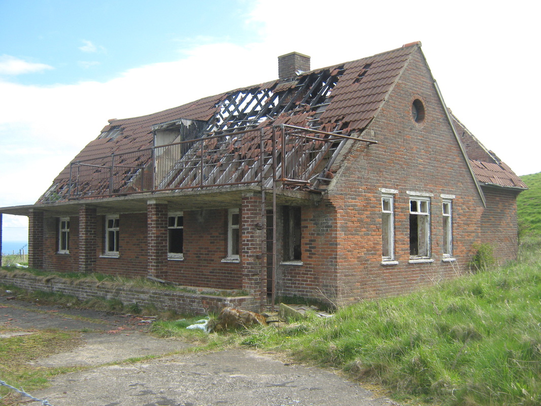
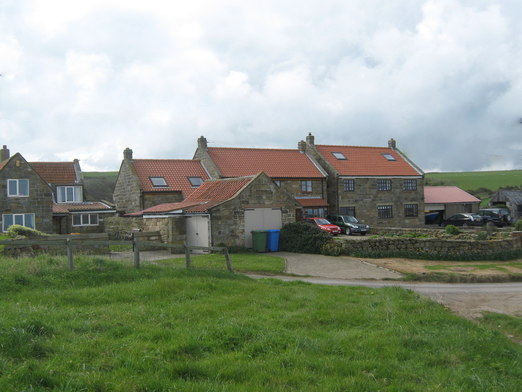
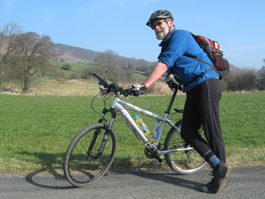
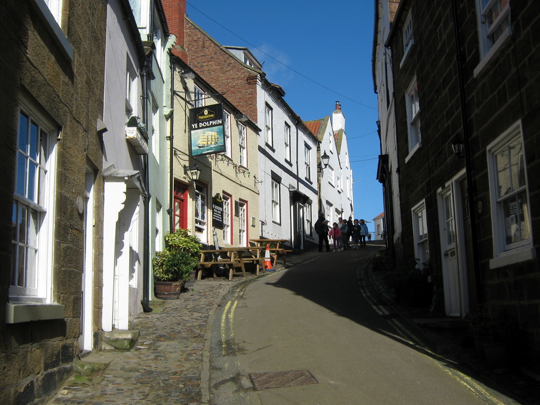
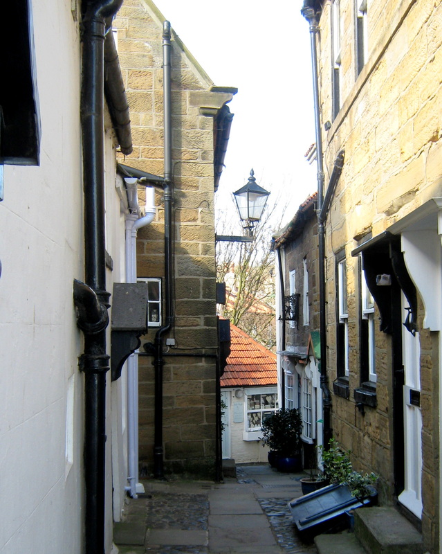
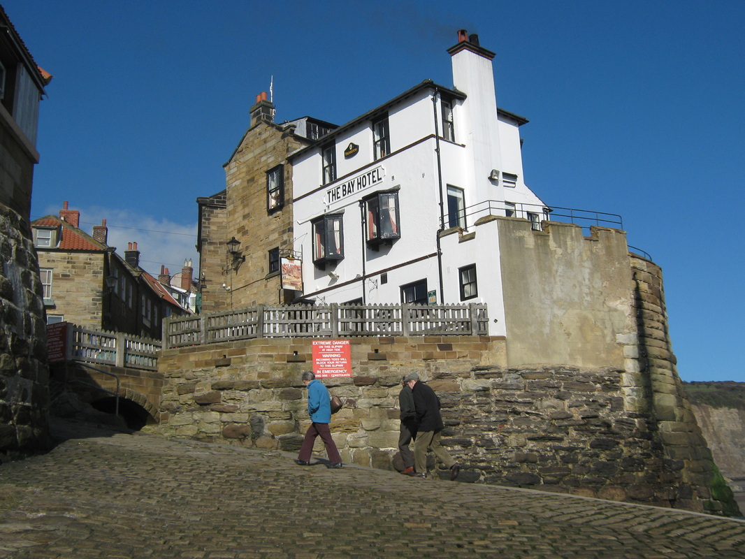
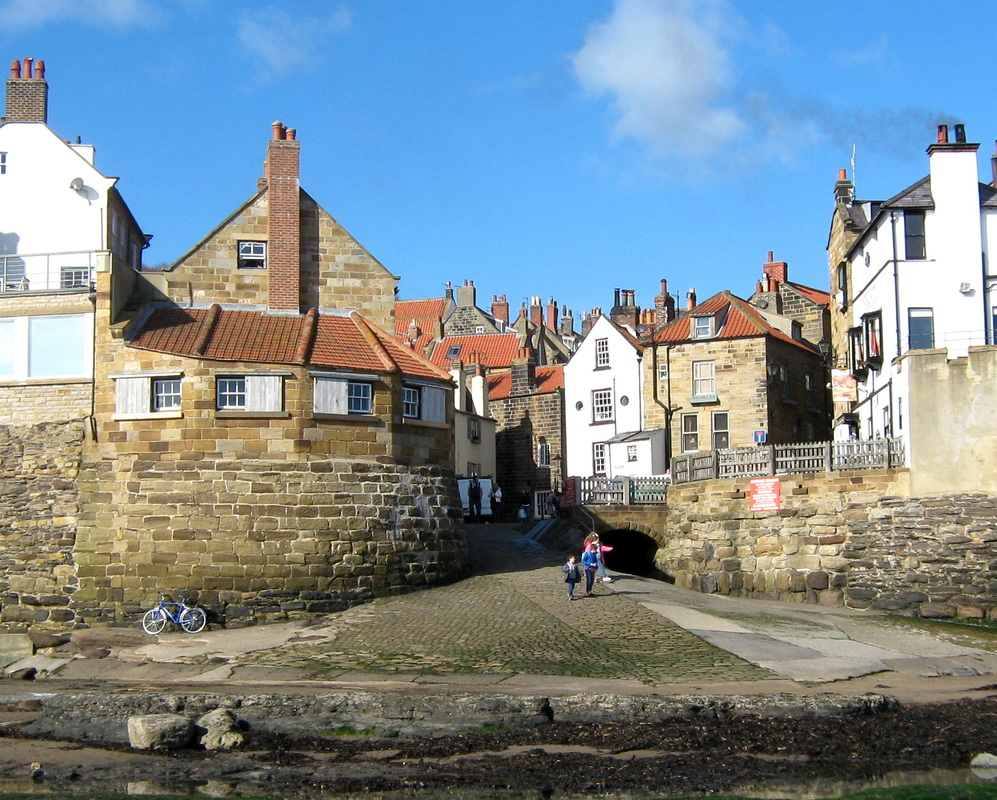
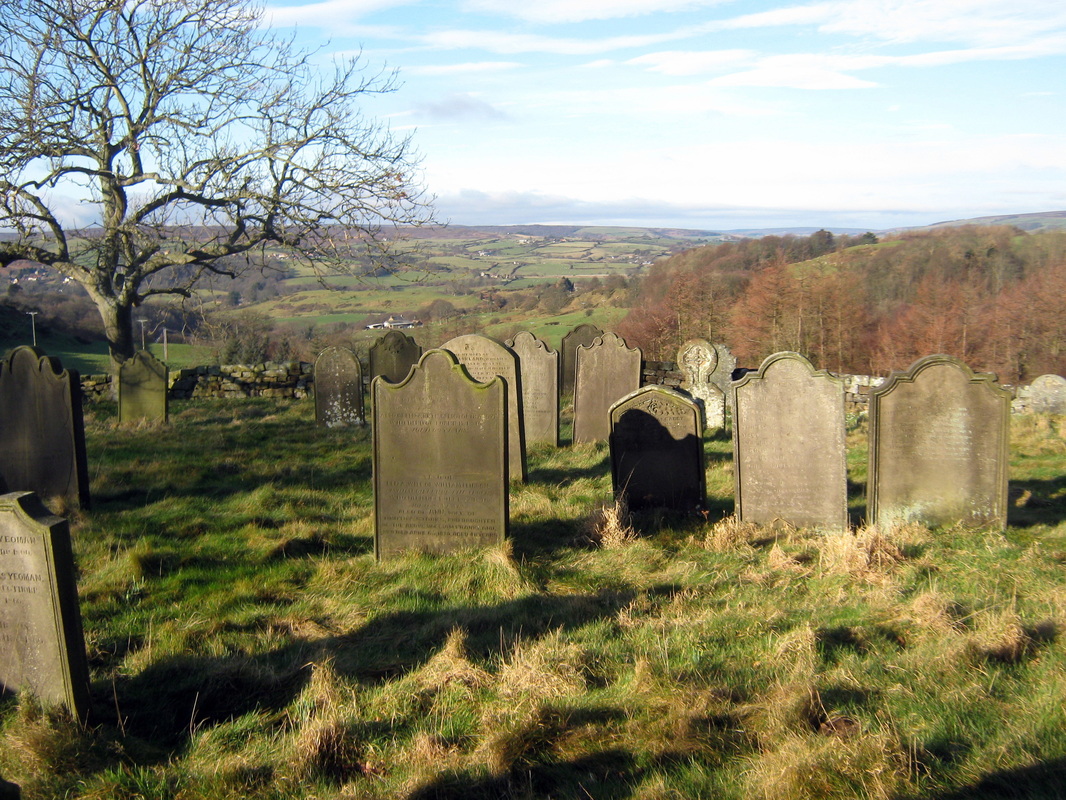
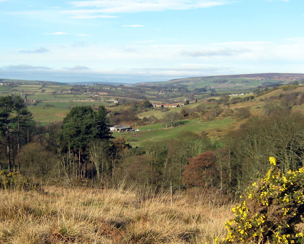
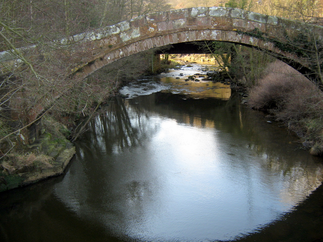
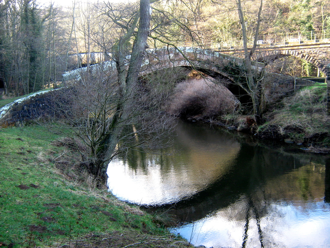
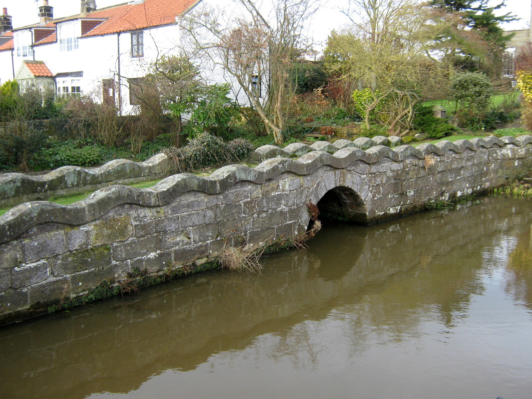
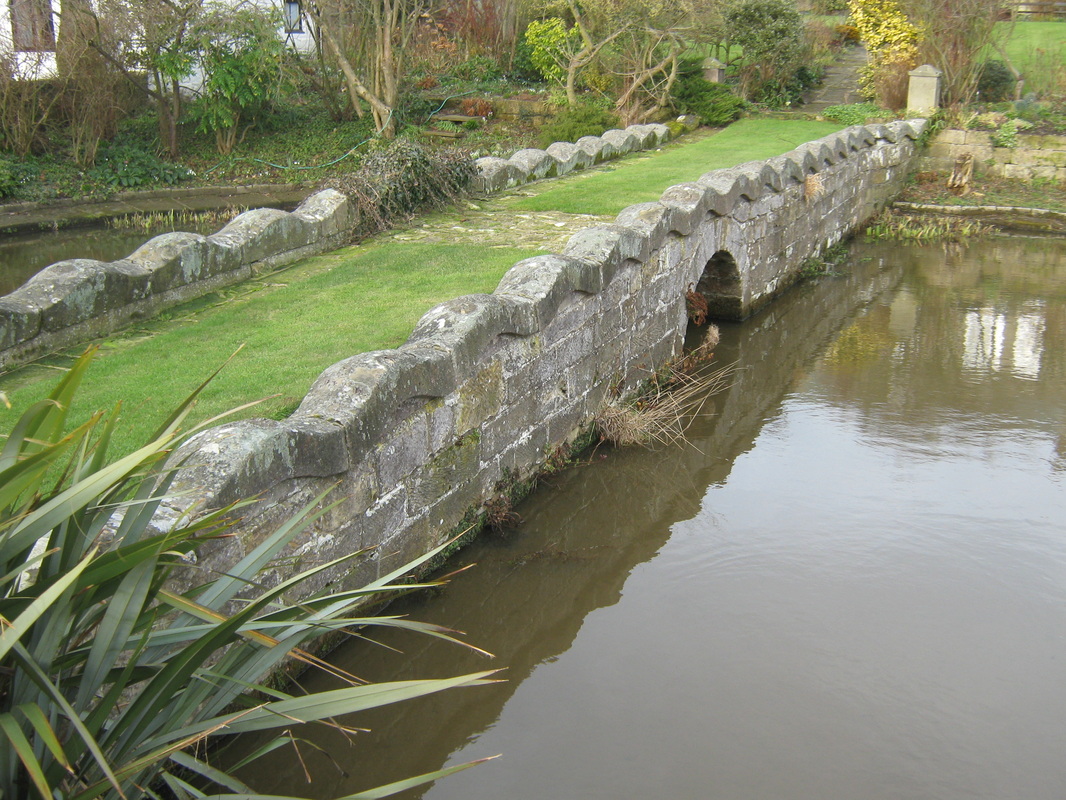
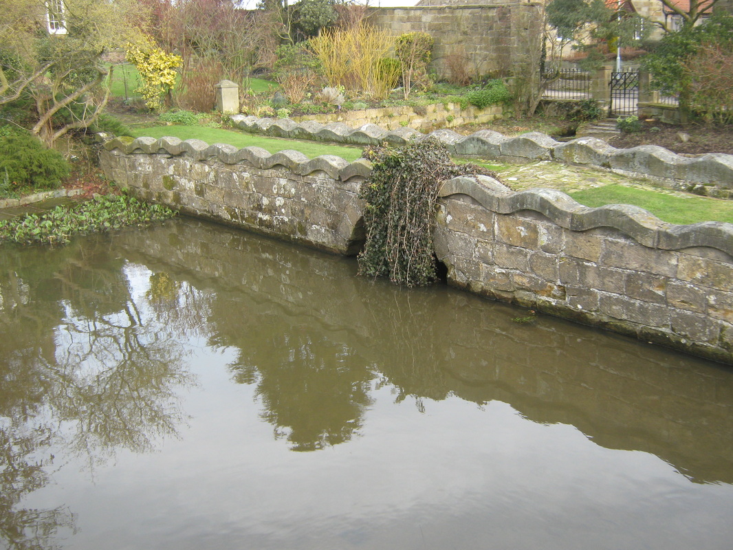
November Rides
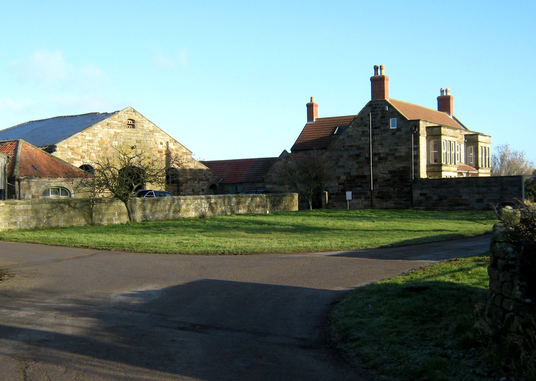
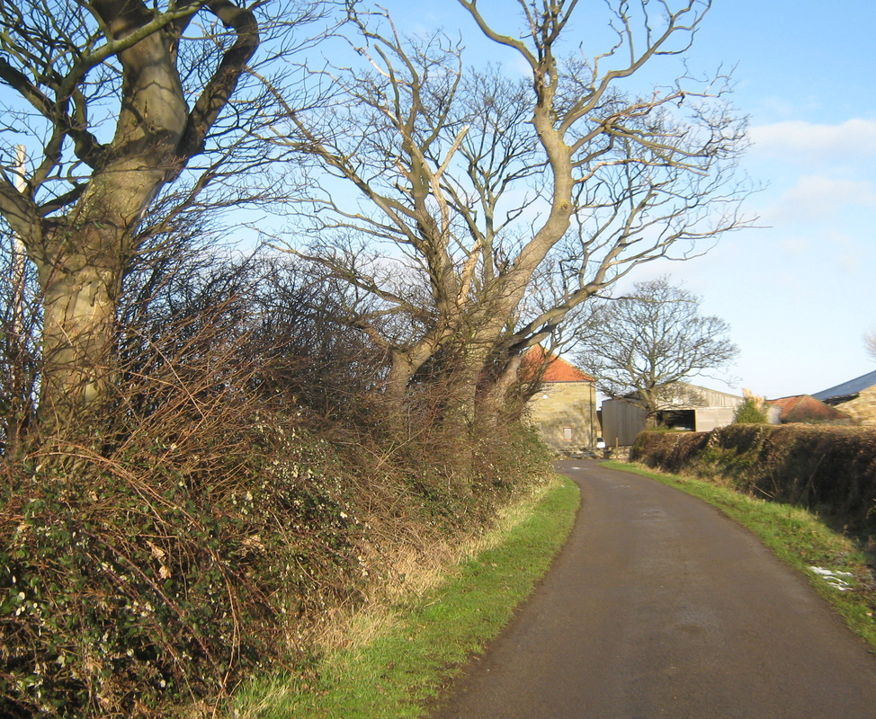
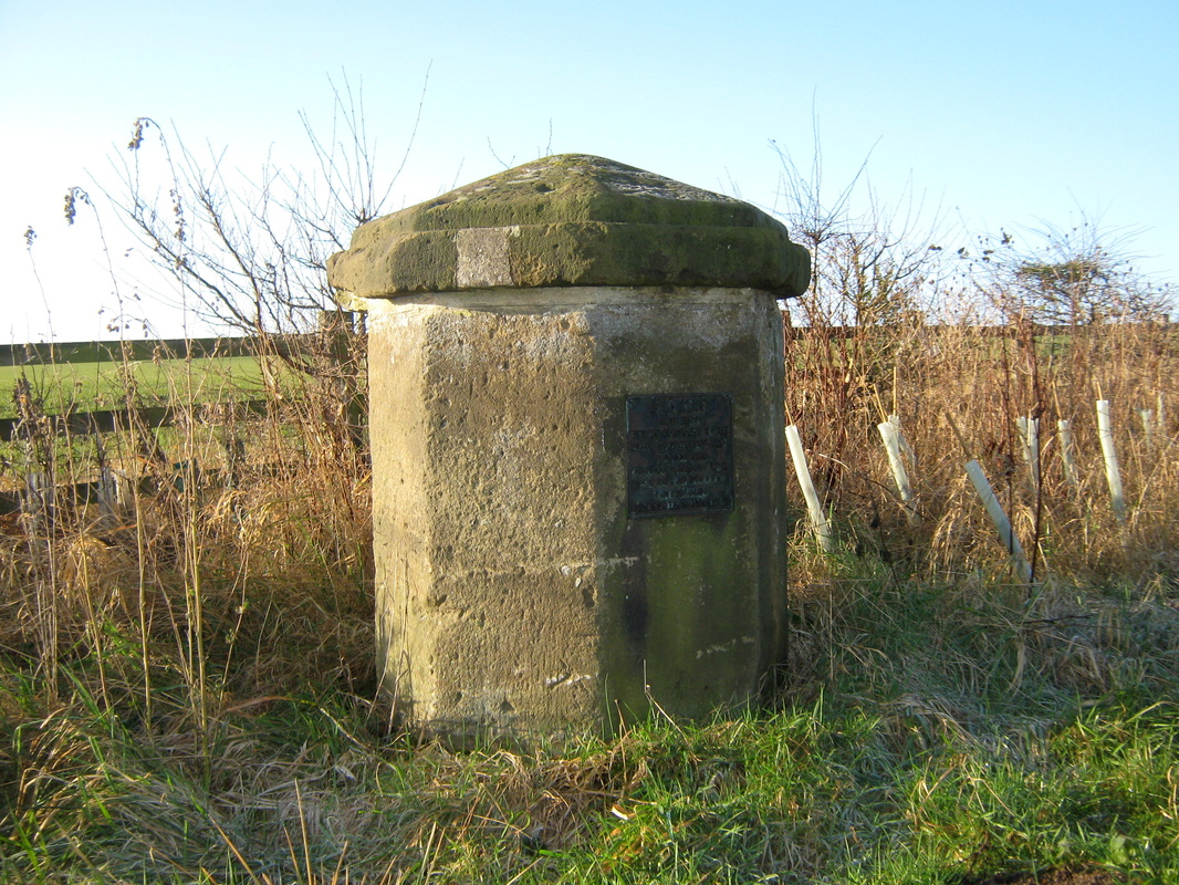
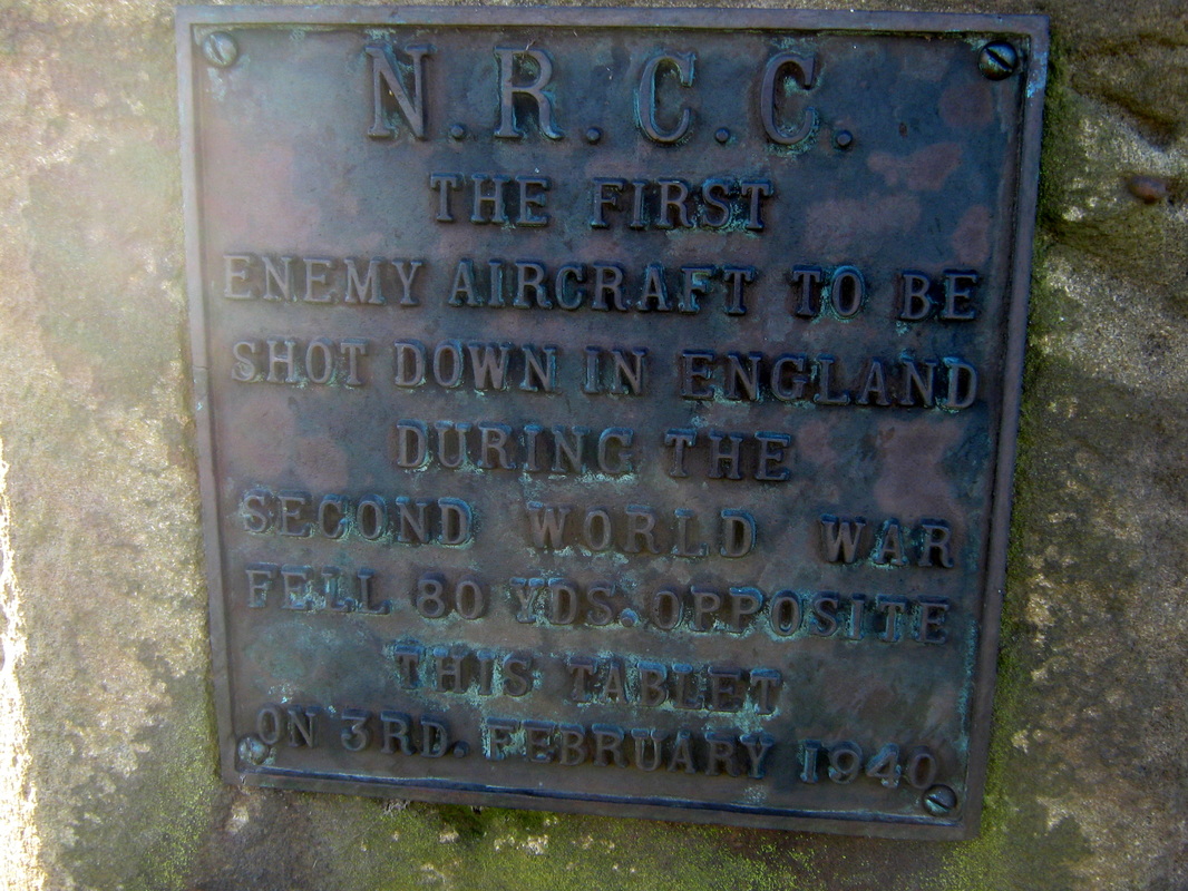
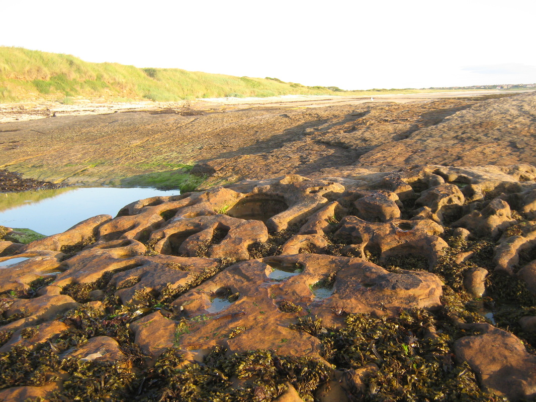
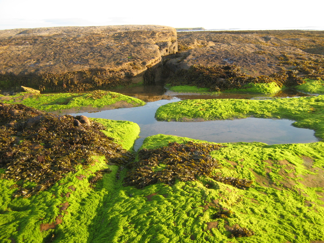
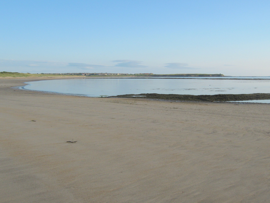
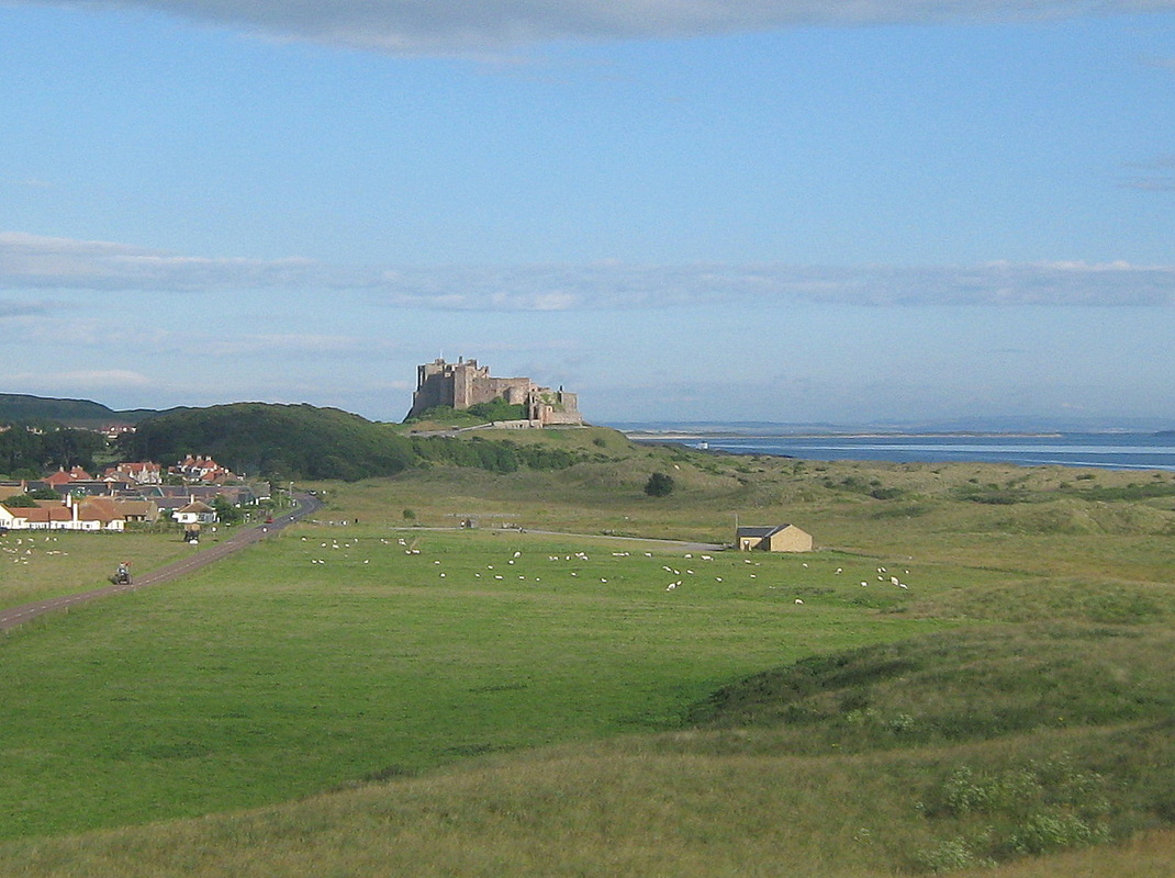
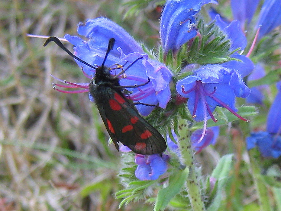
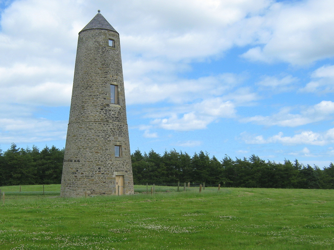
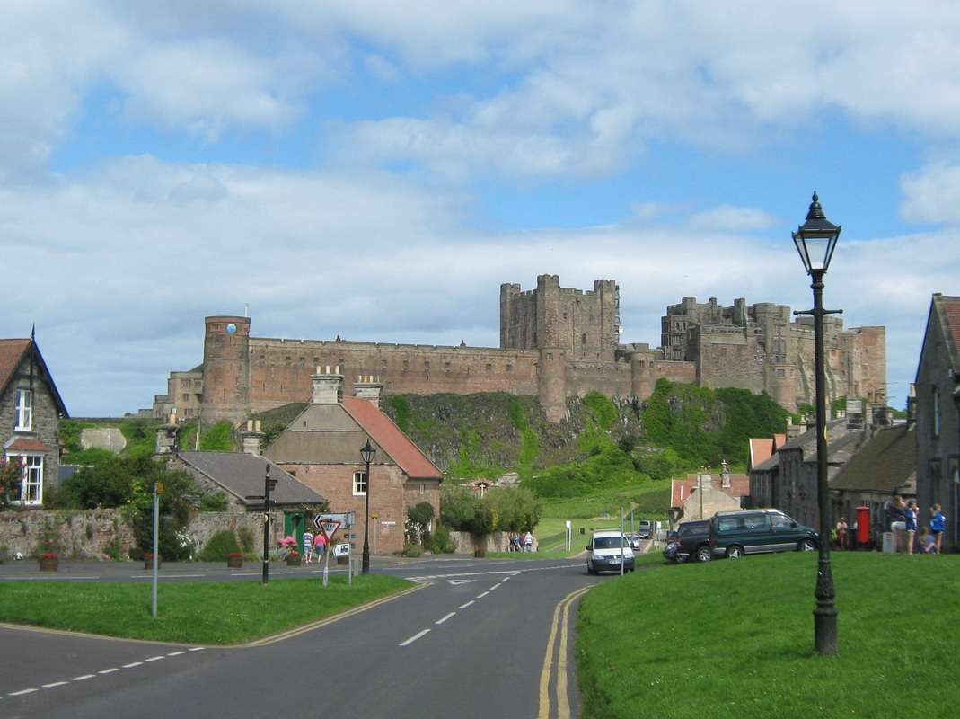
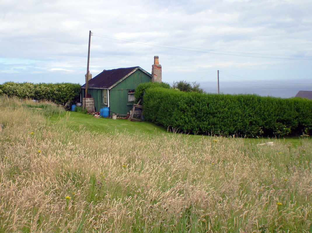
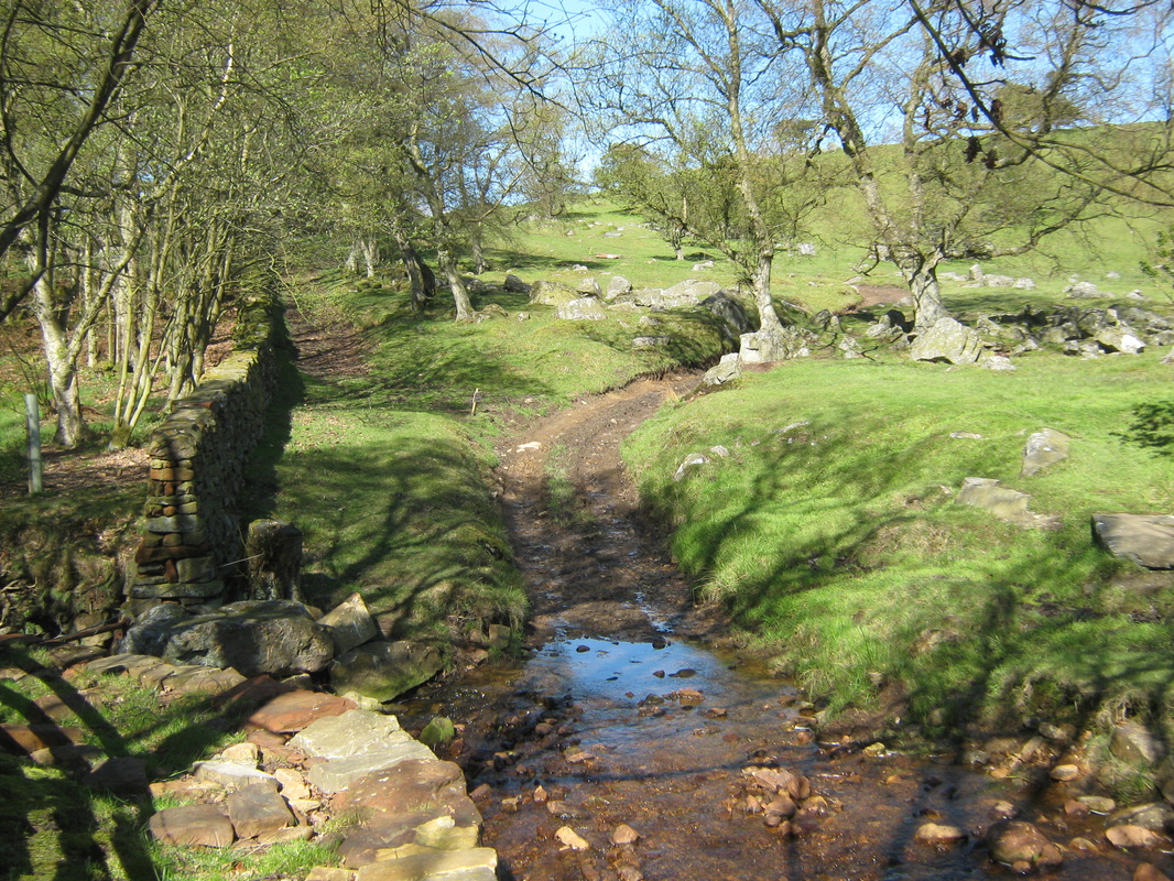
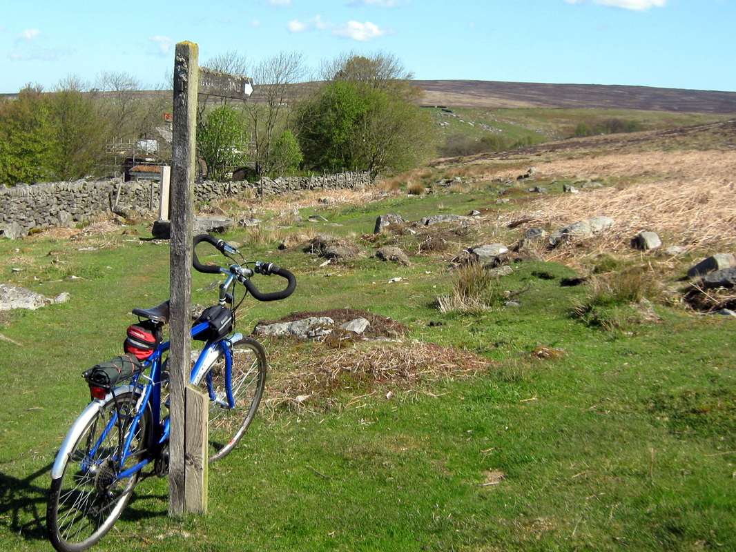
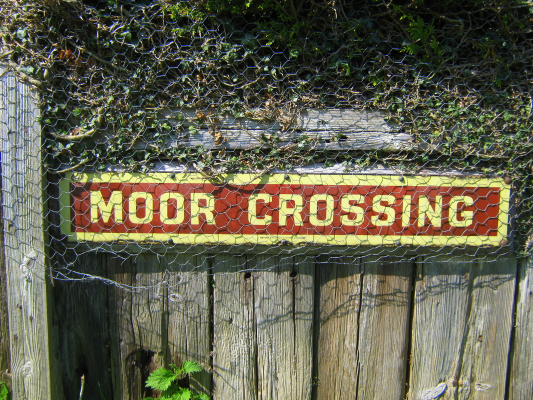
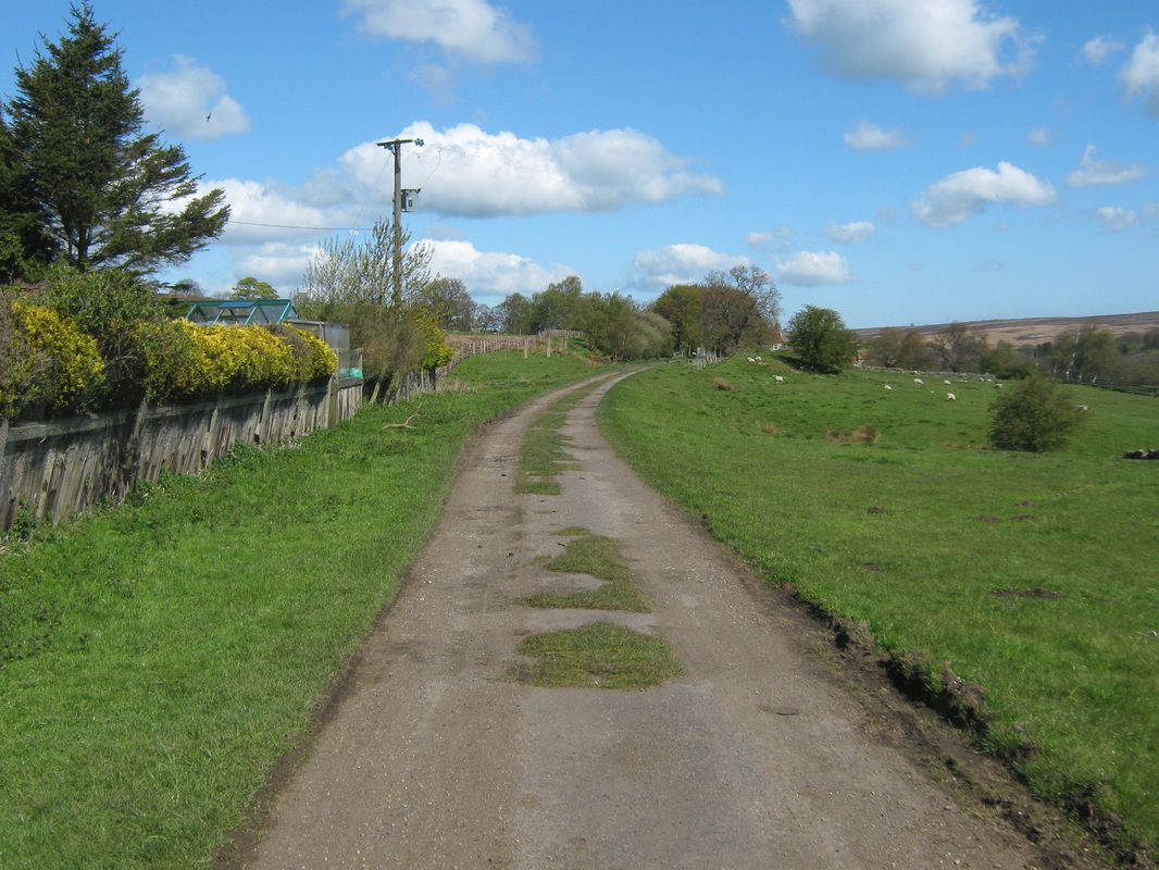
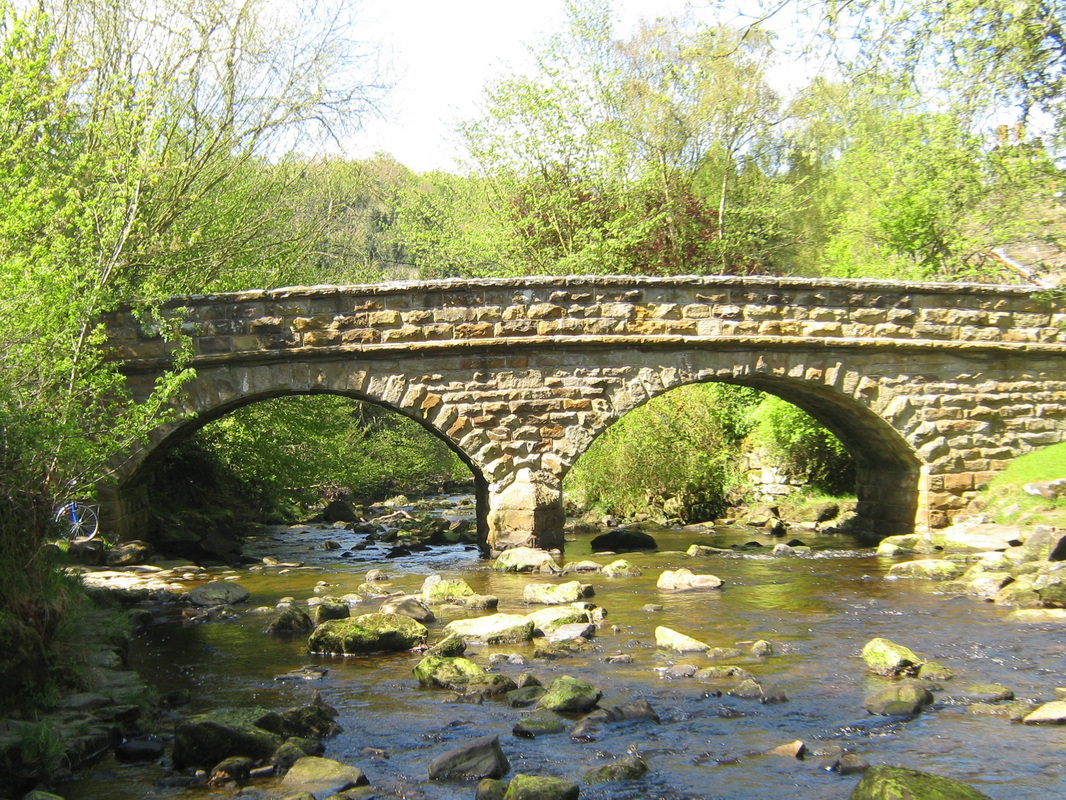
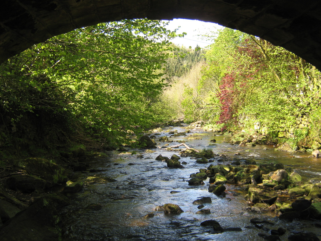
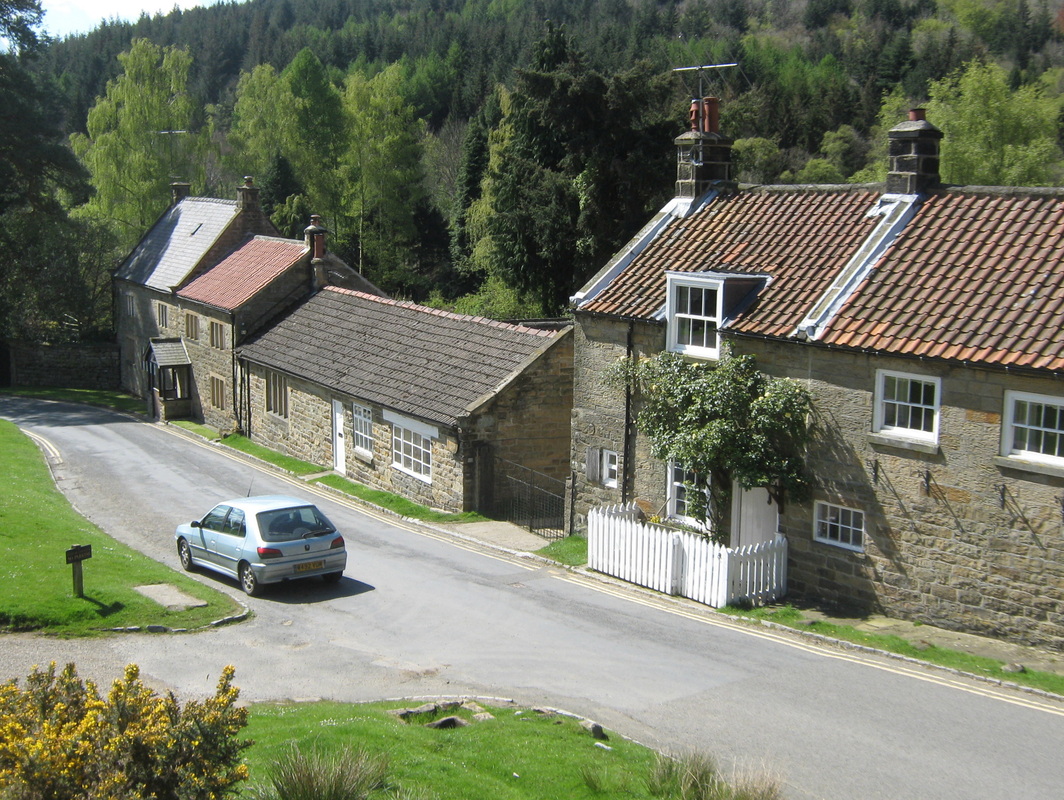
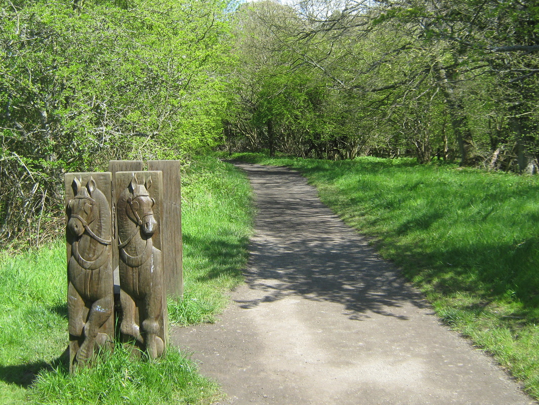
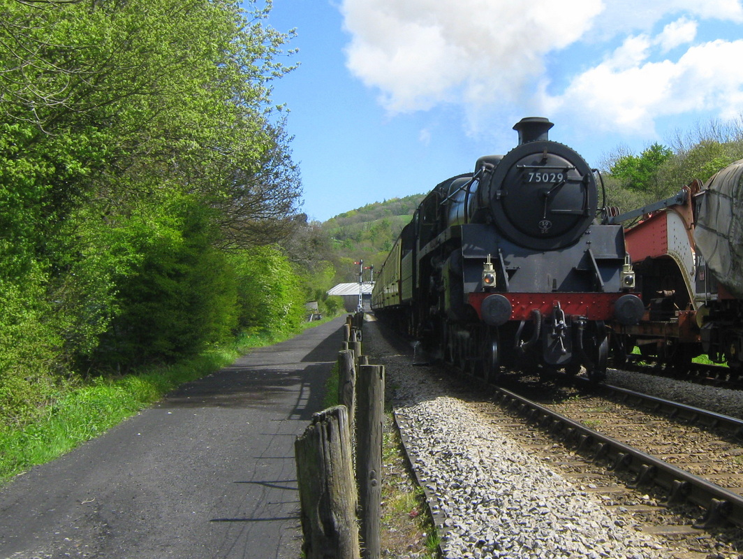
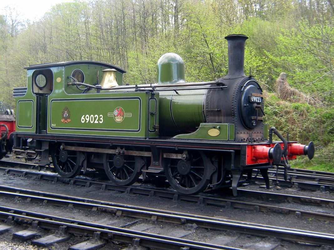
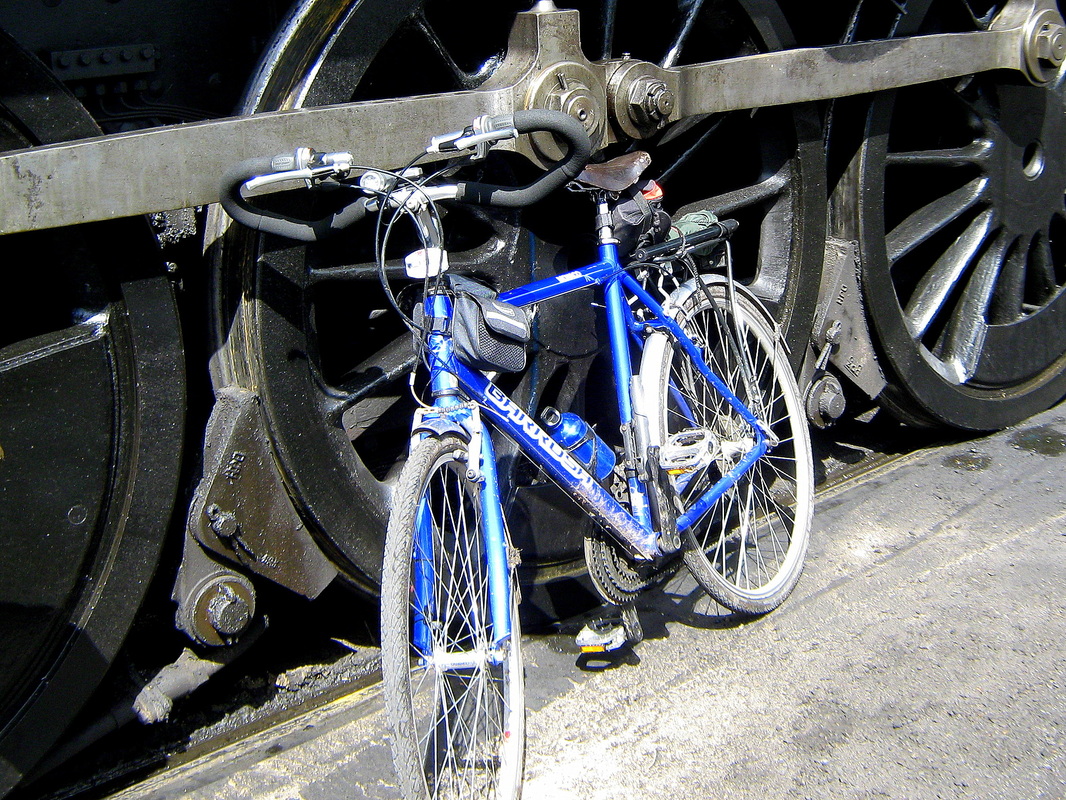
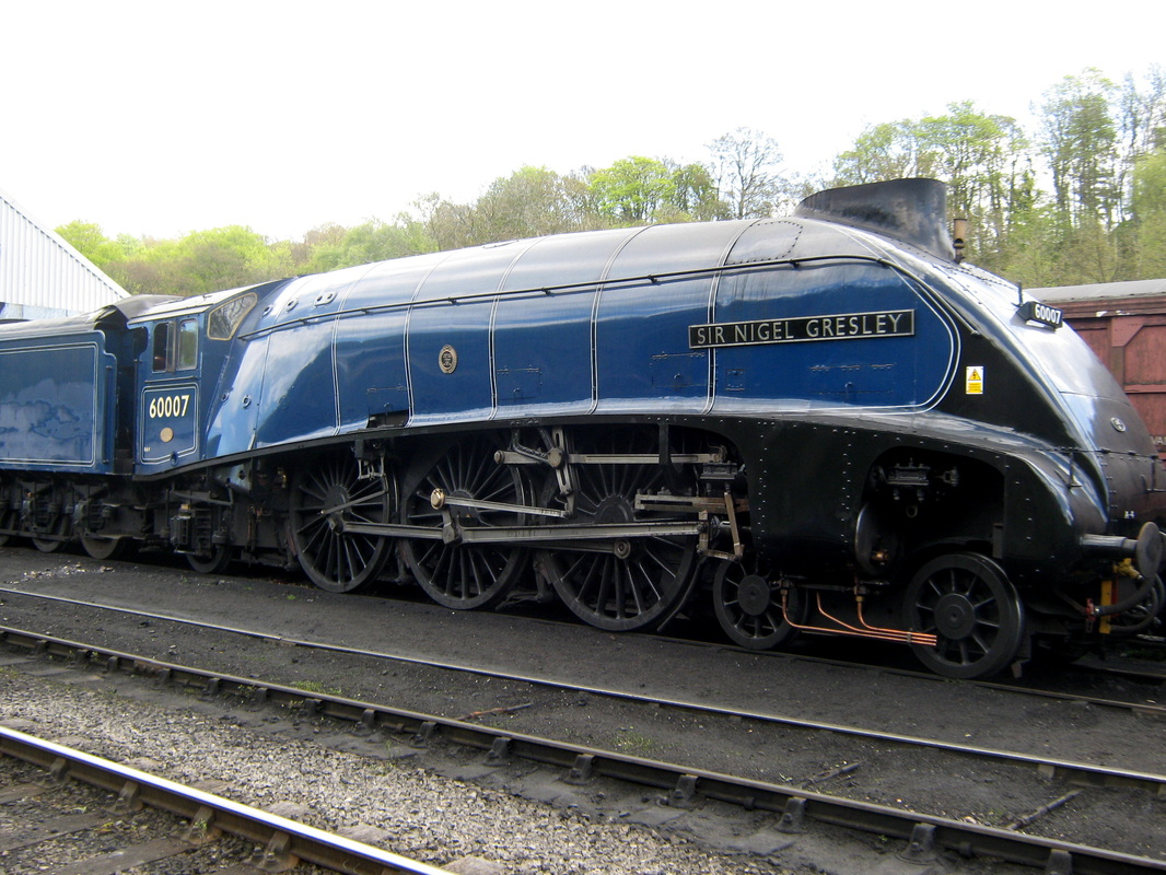
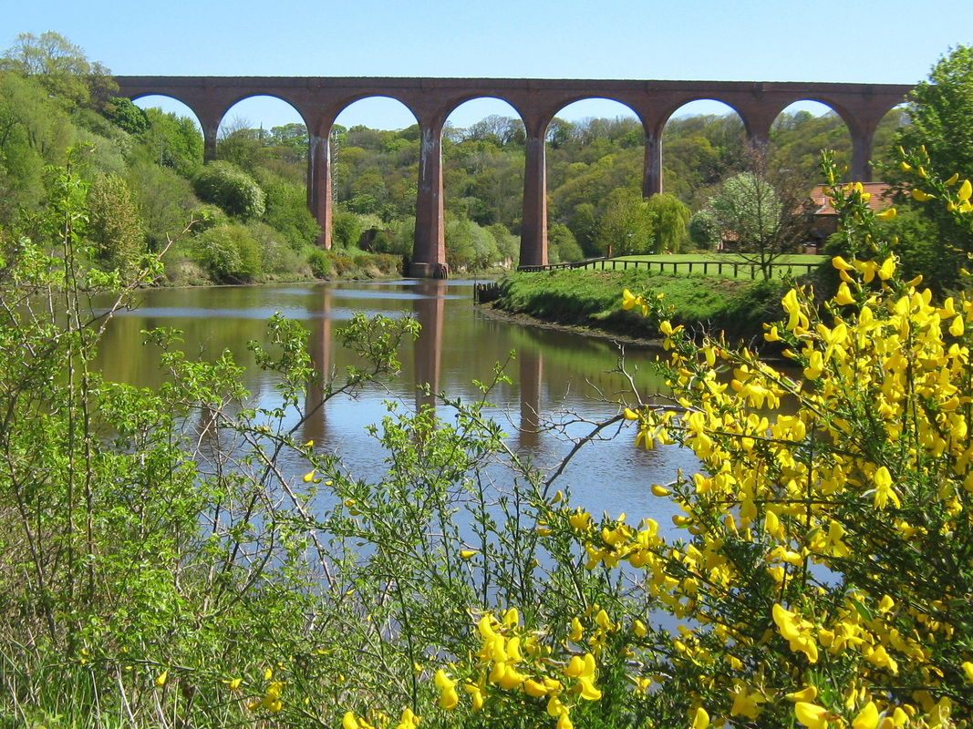
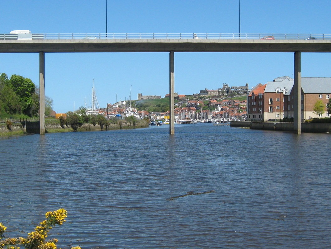
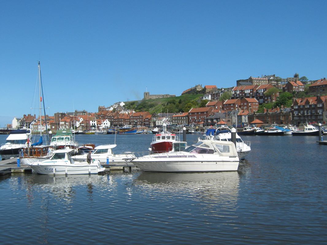
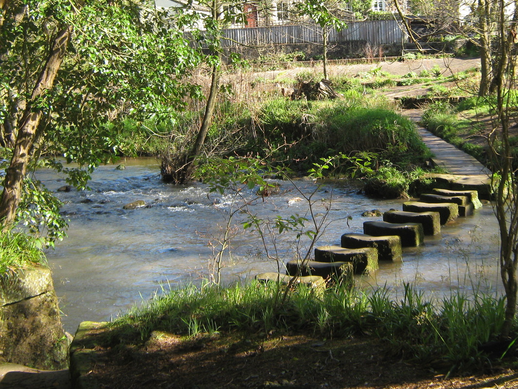
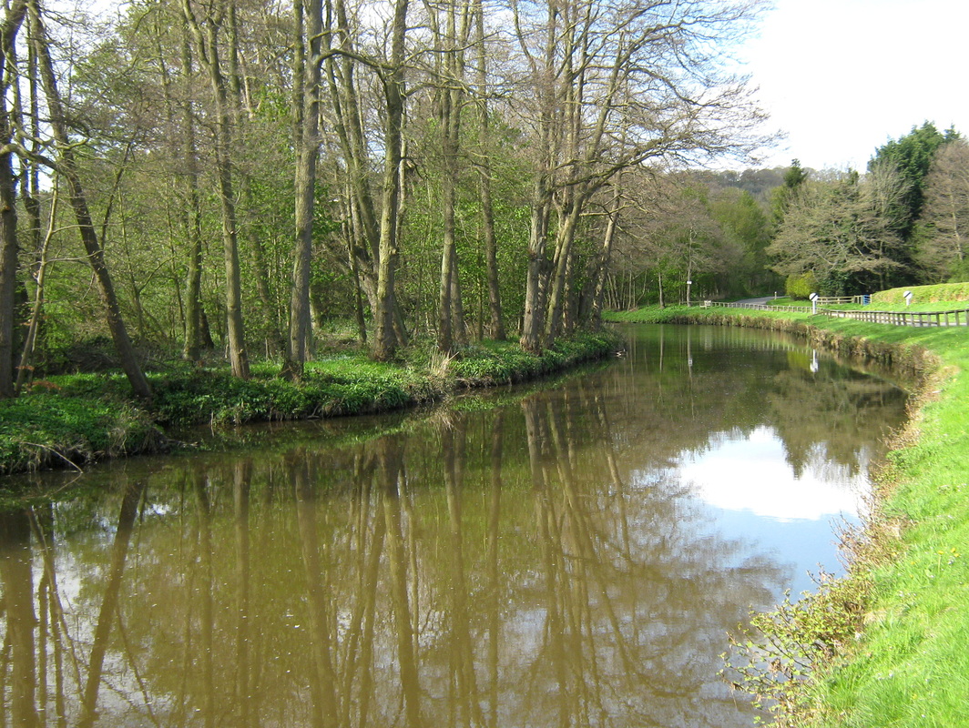
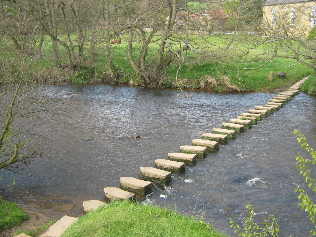
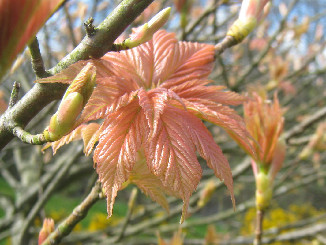
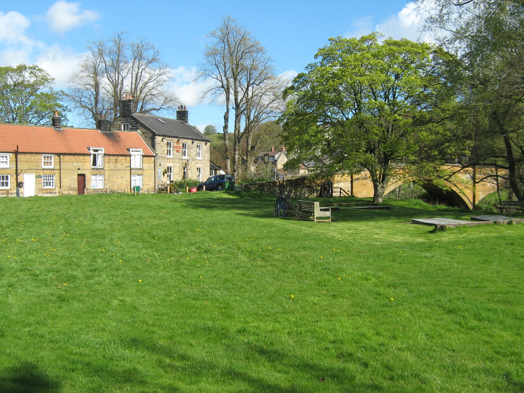
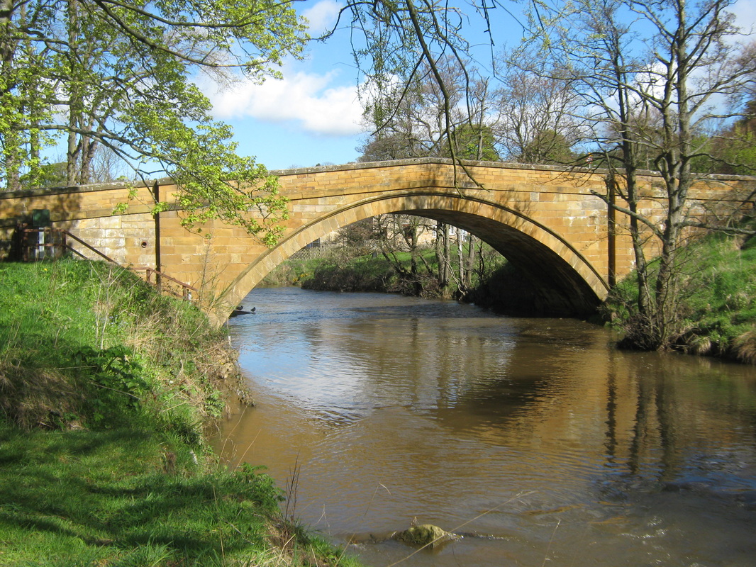
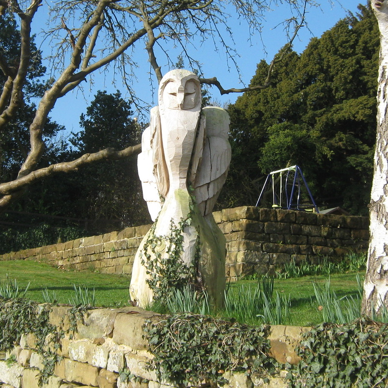
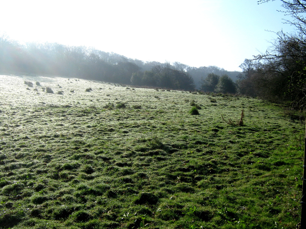
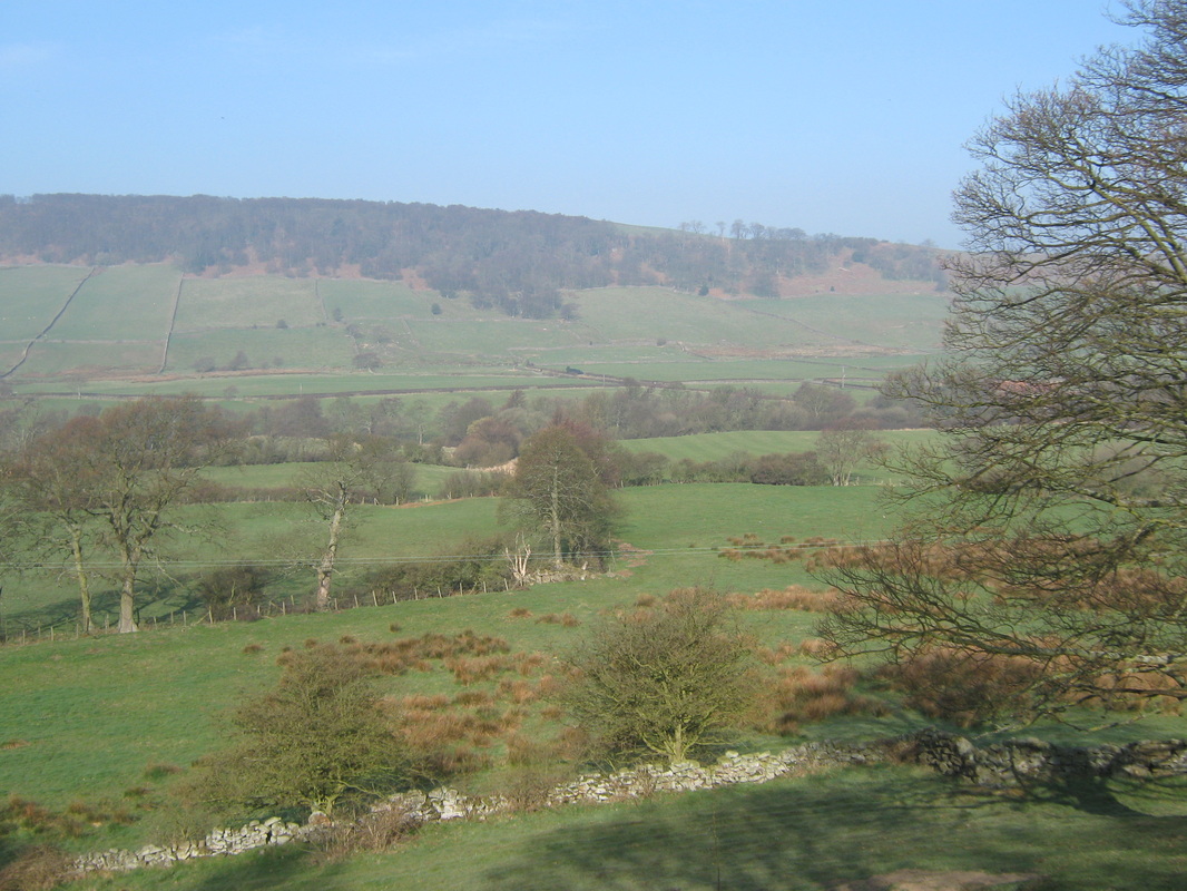
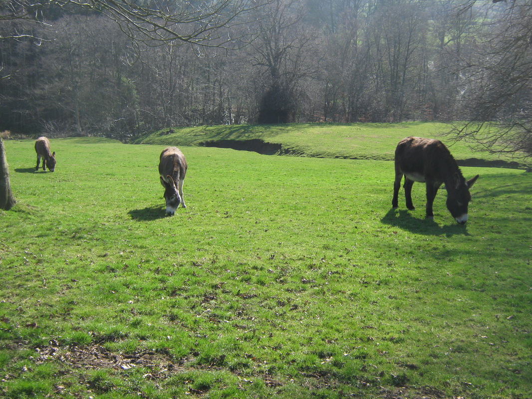
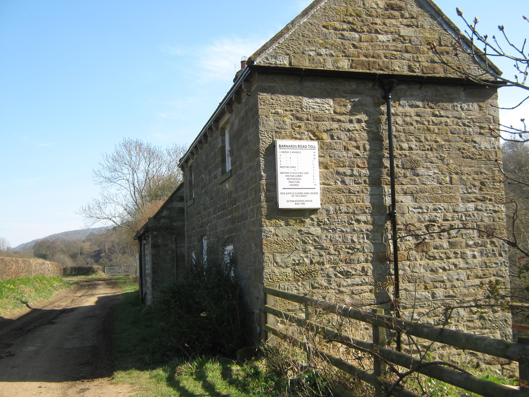
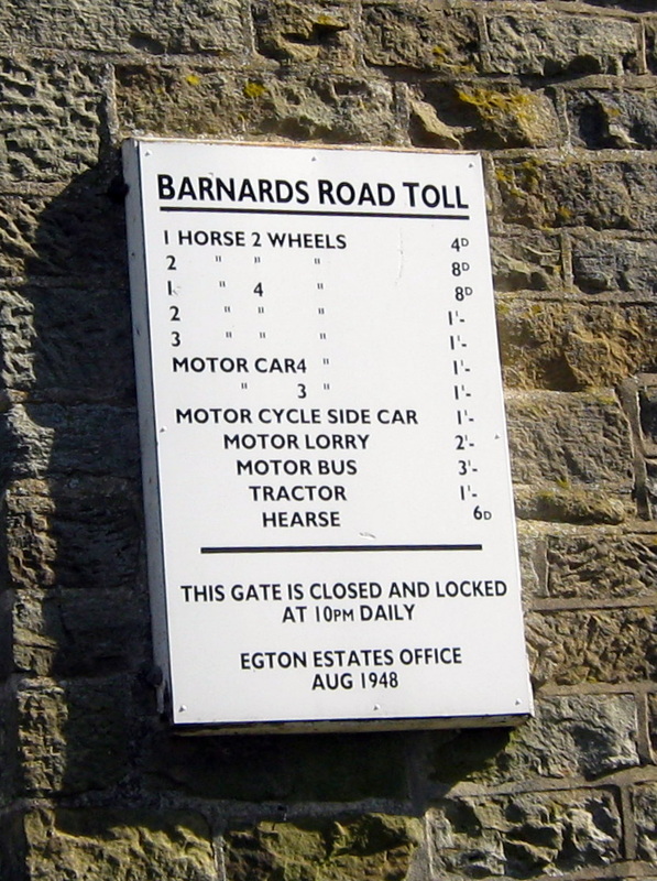
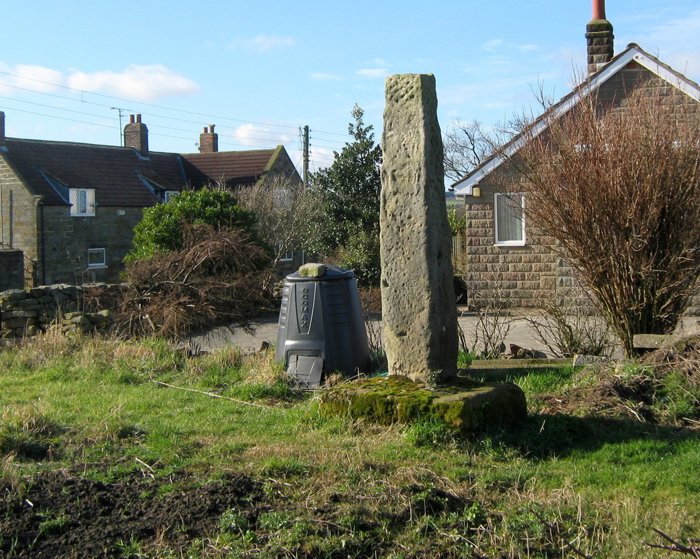
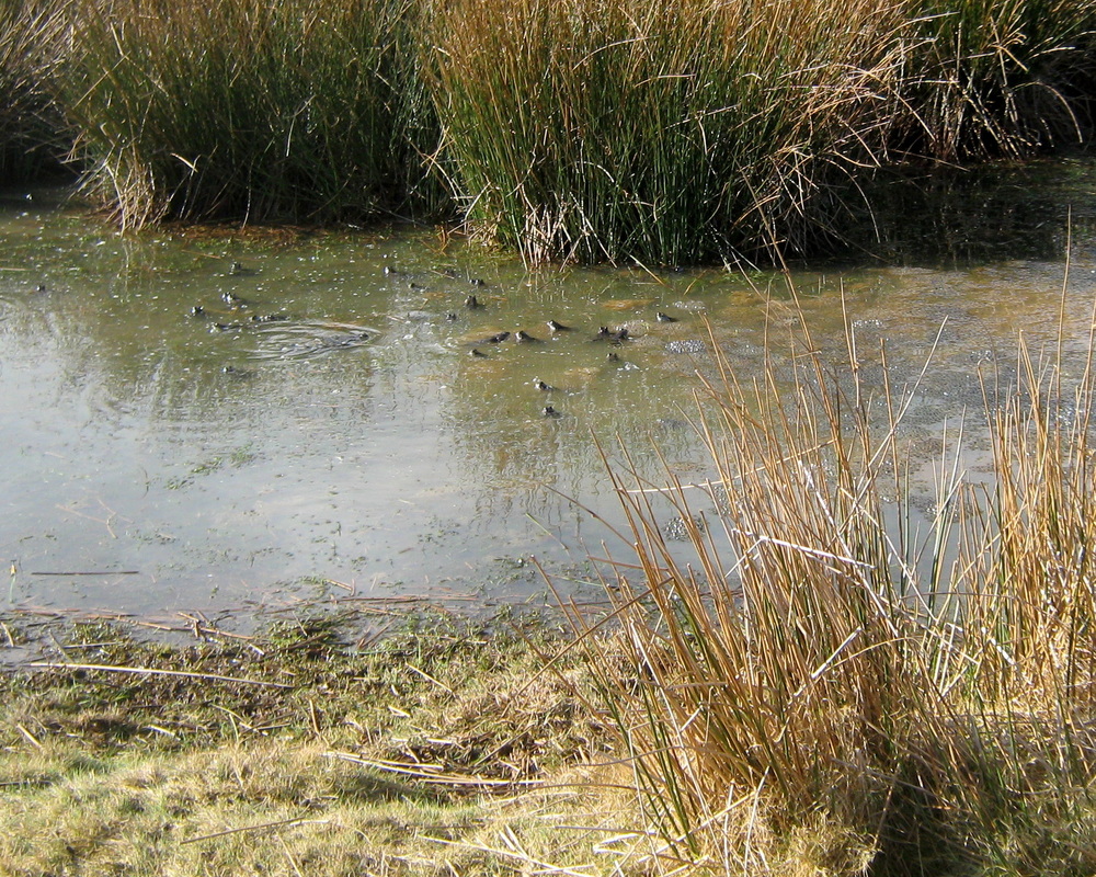
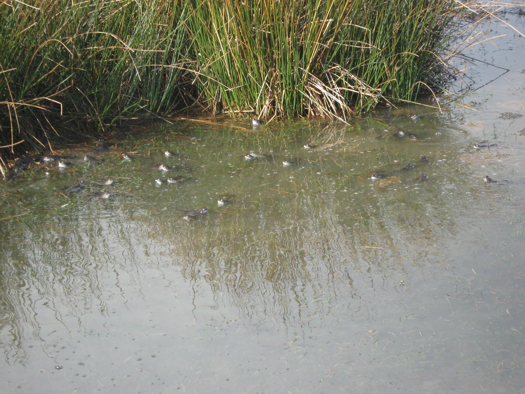
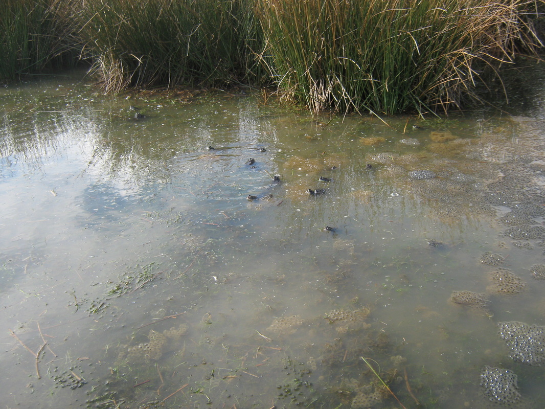
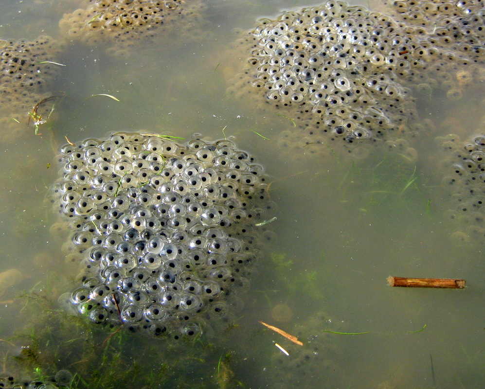
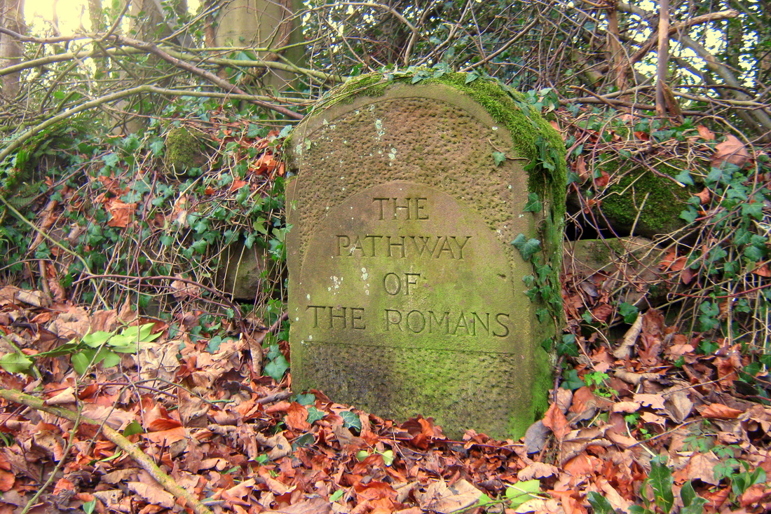
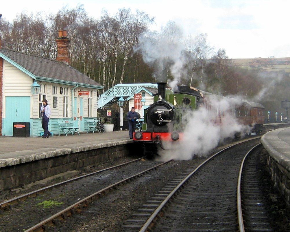
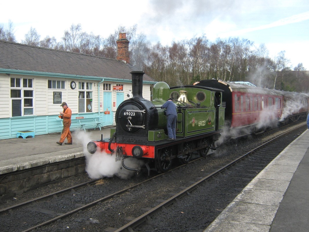
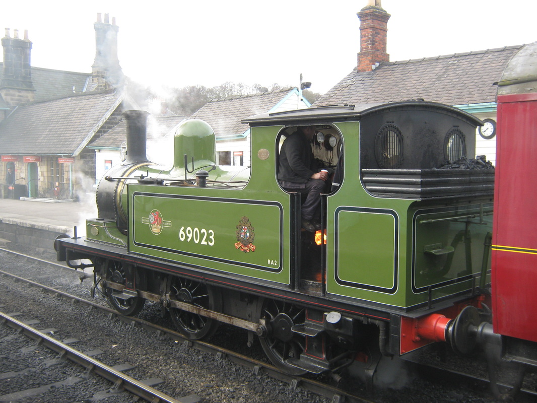
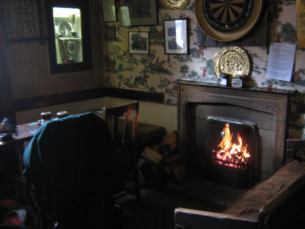
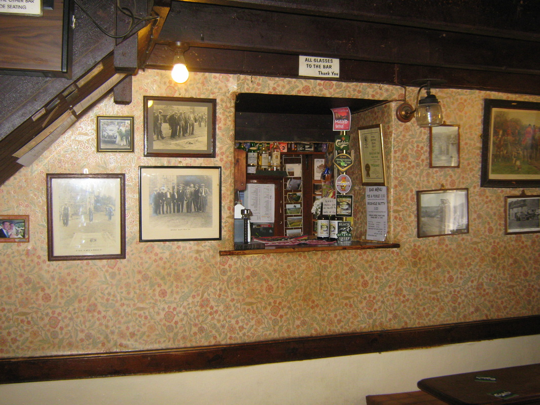
Most of my rides out over the last month have been in the same area and I don't often take my camera with me, therefore I have very little in the way of photos. Weather conditions have not been the greatest with quite a lot of rain and wind. (as I write, the rain is lashing against the windows and the wind is gusting up to 40mph). The few pictures I have taken are shown below, they were all taken in November although not on the same day. I have put them in the correct order though.
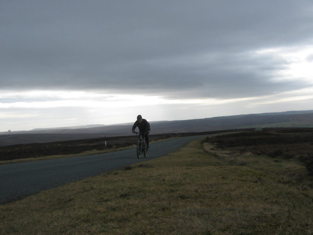
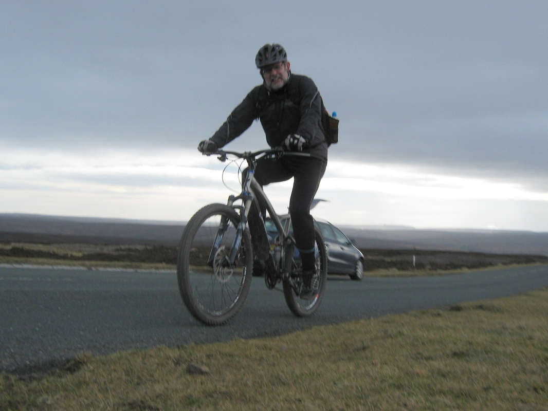
Sponsored Bike Ride
Distance 50.8 miles
Time abt 4h 50min
Grade Moderate
Weather Bright and sunny
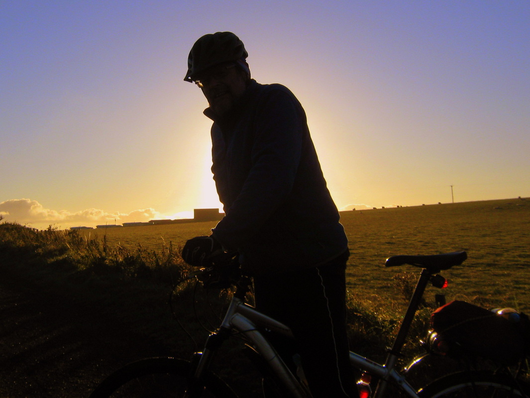
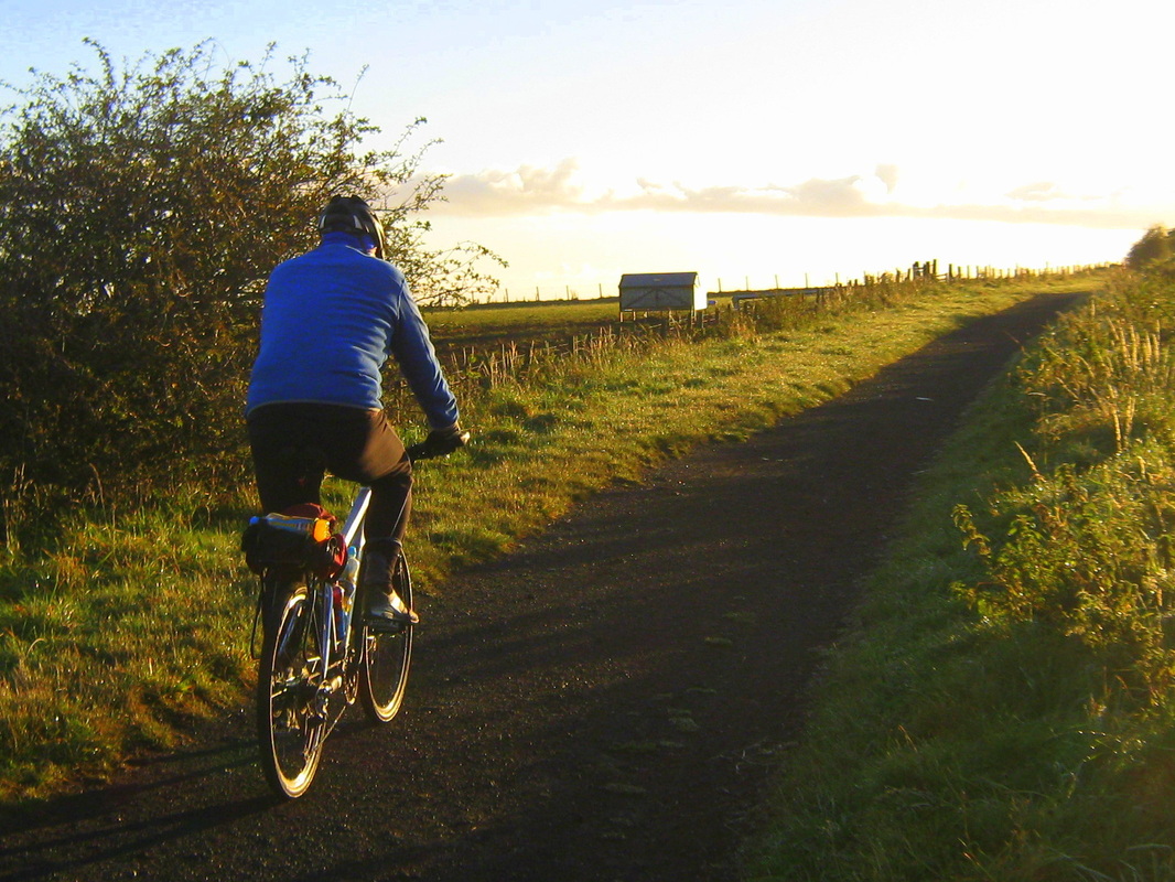
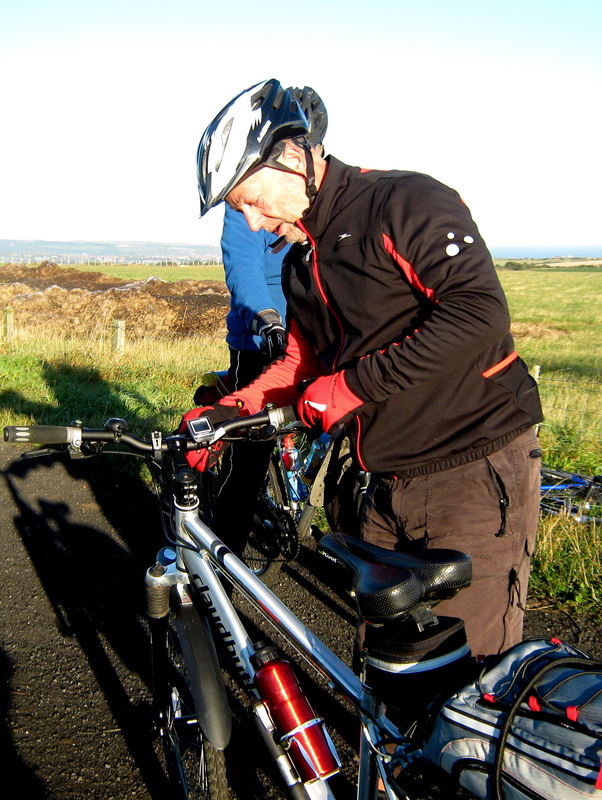
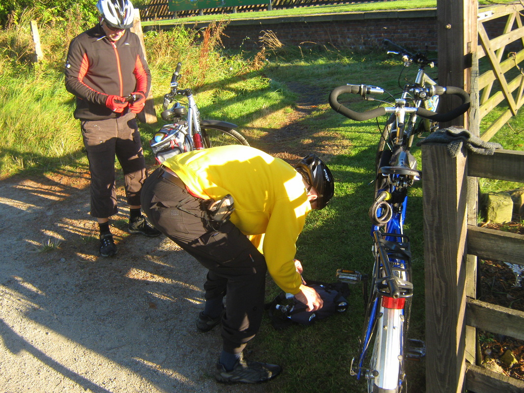
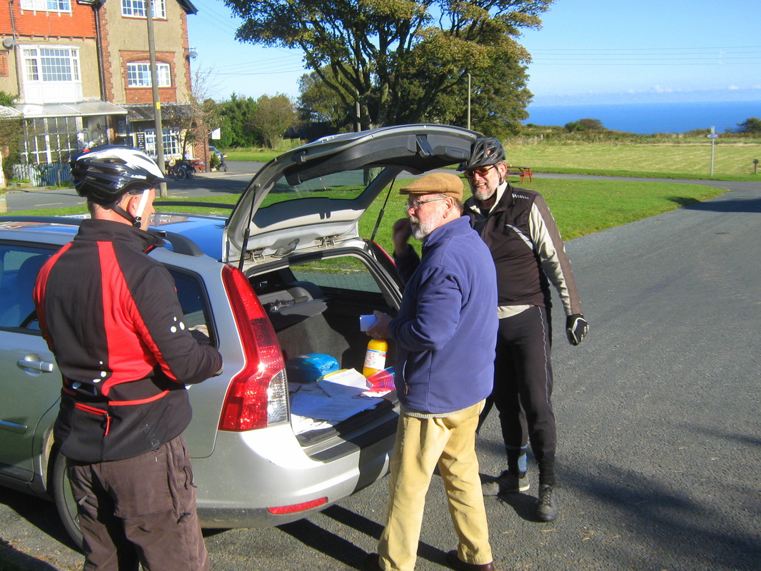
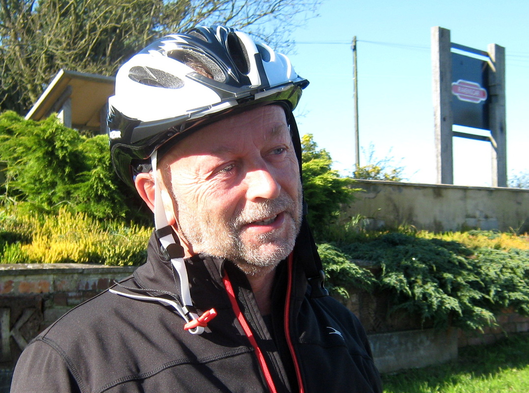
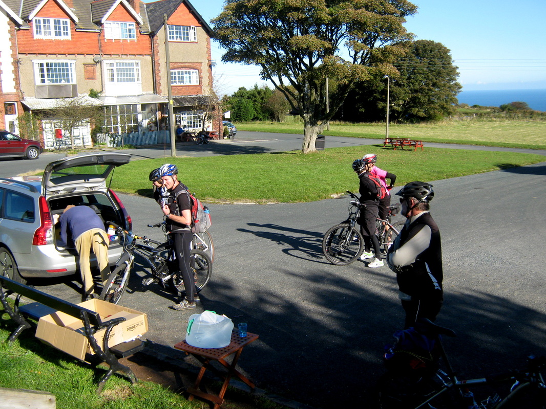
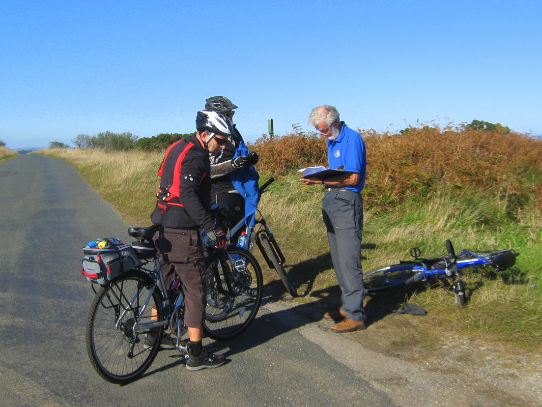
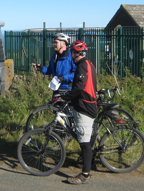
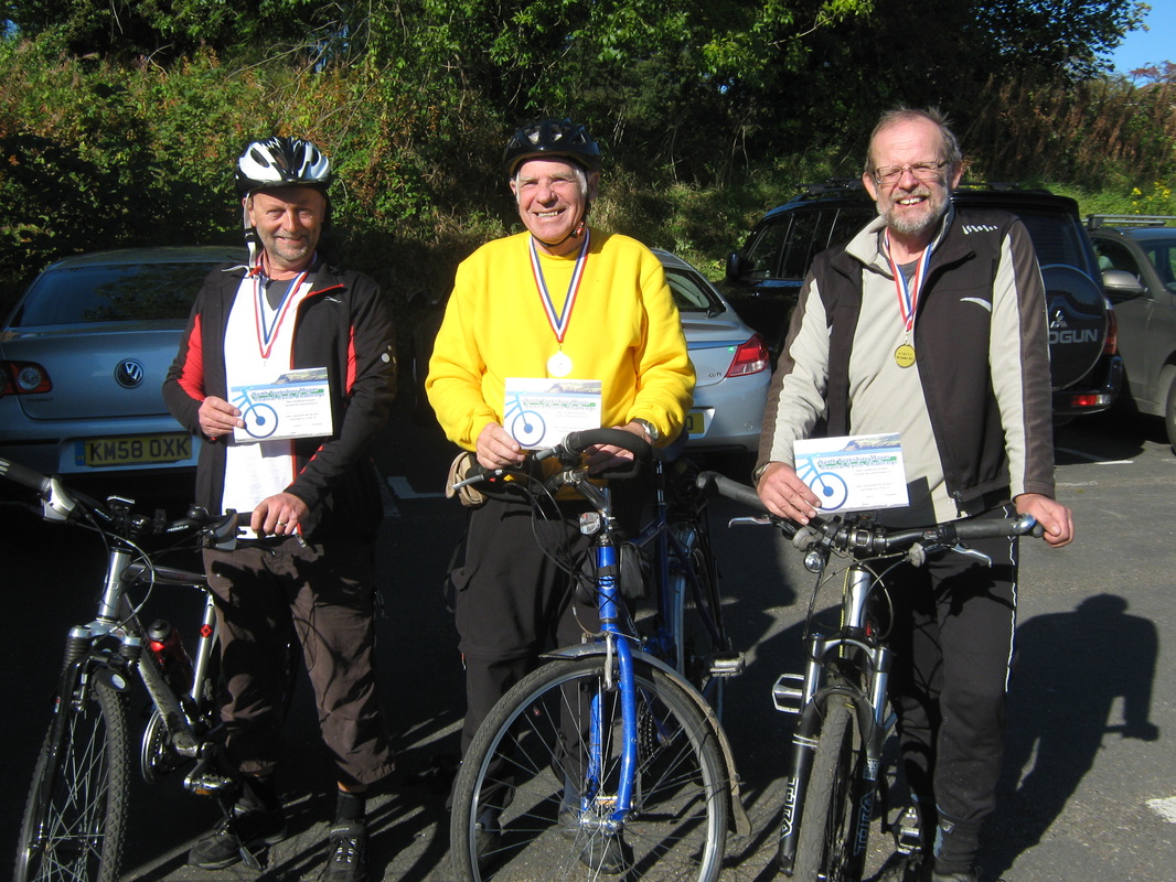
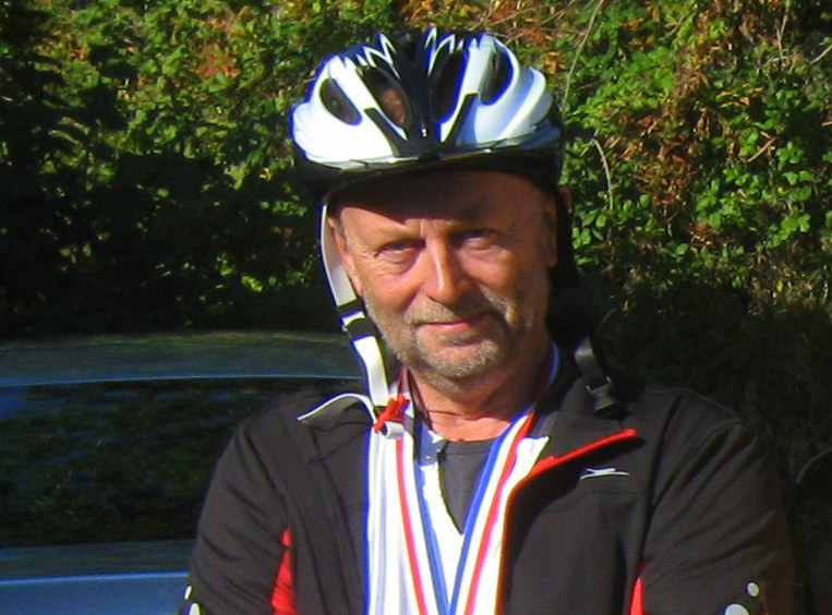
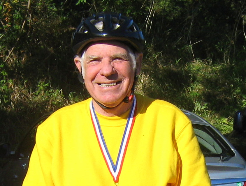
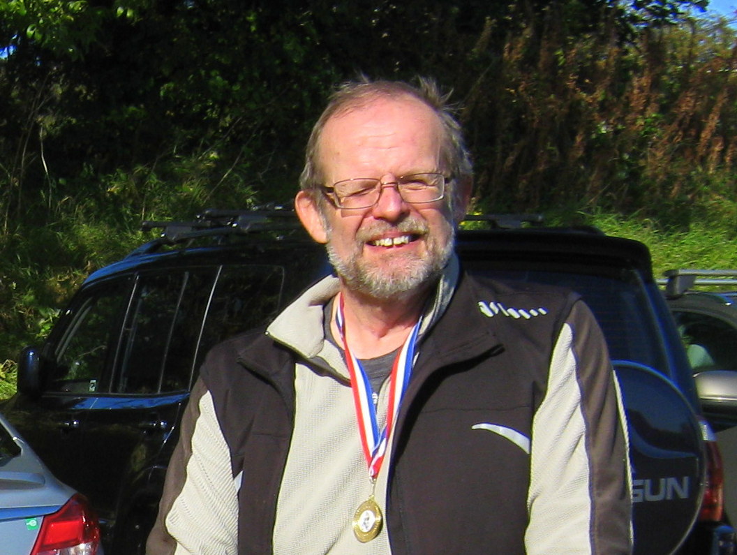
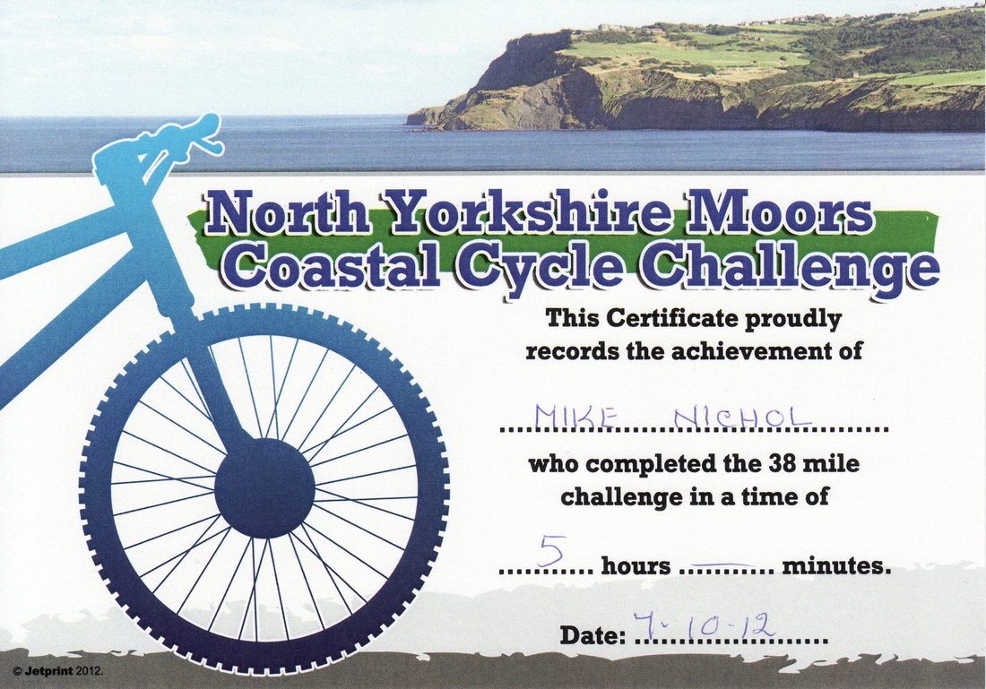
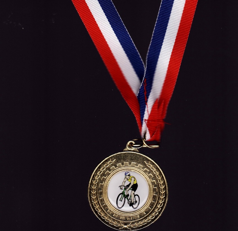
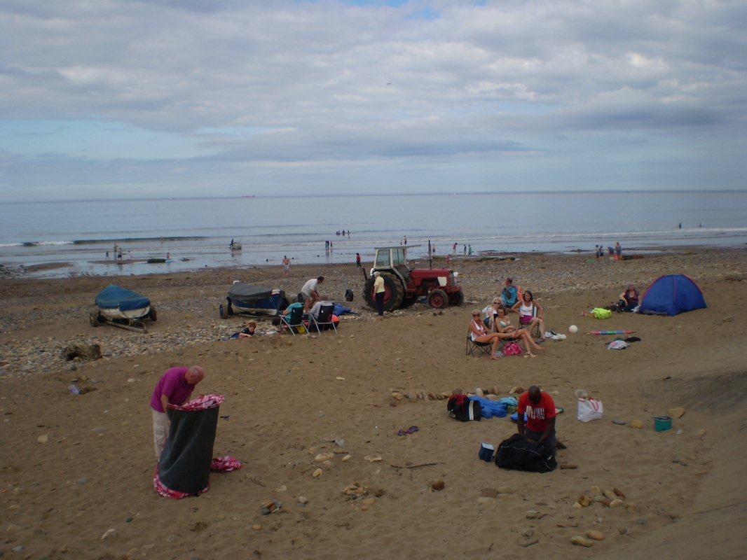
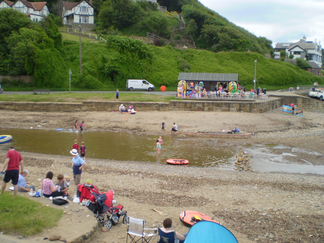
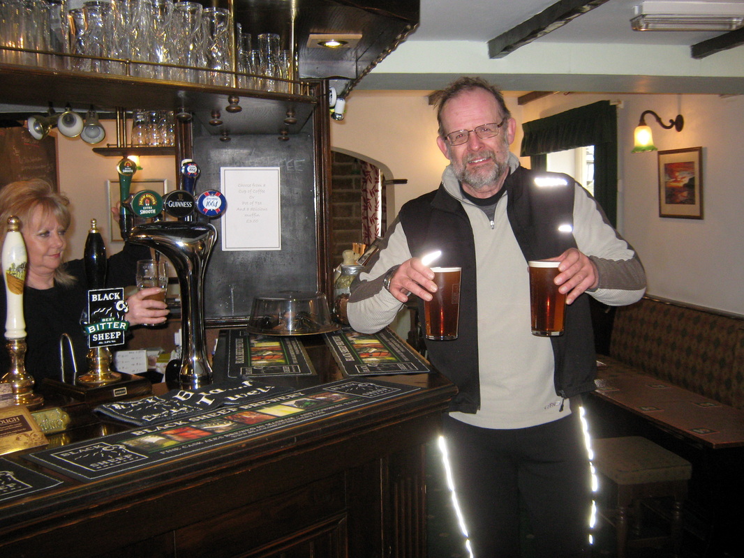
A few weeks ago I noticed an advertisement in a local magazine for an event named the North Yorkshire Moors Coastal Cycling Challenge. This was to be a 38 mile ride starting at Fylingthorpe village hall, along the cinder track (Sustrans Cycle route 1) to Whitby. From there it turned back towards Fylingthorpe, Ravenscar and then Scalby, where it again turned back and followed almost the same route back to the village hall. I mentioned this to John and we decided to enter. A day or two later I was at a football match supporting my local none league team 'Whitby Town' where I mentioned to one of my fellow supporters what I was doing. Before I knew what was happening I had agreed to make it into a sponsored ride to help raise funds for the club. Instead of the 38 miles the distance was to be increased to just over 50 by me starting from my home in Whitby and riding to the official start at Fylingthorpe. At the end of the challenge ride I would then ride back home. John also decided to seek sponsor's and he rode in support of his local Hospice. We were also joined for the challenge by Colin Storr, one of Johns friends. Colin lives near Hull and before this event, he thought that a gentle change in elevation was a hill. I think he knows differently now.
We left home at about 0730 and were soon on the Cinder Track and on our way. we were cycling directly into the rising sun which made it quite difficult to see at times but we managed and once the sun had risen a little we had a glorious day and thoroughly enjoyed the ride. After completing the challenge ride, we were awarded a certificate and for completing it in less than six hours we also received a medal. After a meal, we had a leisurely ride back home to complete the 50 miles. In spite of the name, this ride was not what I would consider to be a real challenge but it was certainly another enjoyable day out.
Time abt 4h 50min
Grade Moderate
Weather Bright and sunny
A few weeks ago I noticed an advertisement in a local magazine for an event named the North Yorkshire Moors Coastal Cycling Challenge. This was to be a 38 mile ride starting at Fylingthorpe village hall, along the cinder track (Sustrans Cycle route 1) to Whitby. From there it turned back towards Fylingthorpe, Ravenscar and then Scalby, where it again turned back and followed almost the same route back to the village hall. I mentioned this to John and we decided to enter. A day or two later I was at a football match supporting my local none league team 'Whitby Town' where I mentioned to one of my fellow supporters what I was doing. Before I knew what was happening I had agreed to make it into a sponsored ride to help raise funds for the club. Instead of the 38 miles the distance was to be increased to just over 50 by me starting from my home in Whitby and riding to the official start at Fylingthorpe. At the end of the challenge ride I would then ride back home. John also decided to seek sponsor's and he rode in support of his local Hospice. We were also joined for the challenge by Colin Storr, one of Johns friends. Colin lives near Hull and before this event, he thought that a gentle change in elevation was a hill. I think he knows differently now.
We left home at about 0730 and were soon on the Cinder Track and on our way. we were cycling directly into the rising sun which made it quite difficult to see at times but we managed and once the sun had risen a little we had a glorious day and thoroughly enjoyed the ride. After completing the challenge ride, we were awarded a certificate and for completing it in less than six hours we also received a medal. After a meal, we had a leisurely ride back home to complete the 50 miles. In spite of the name, this ride was not what I would consider to be a real challenge but it was certainly another enjoyable day out.
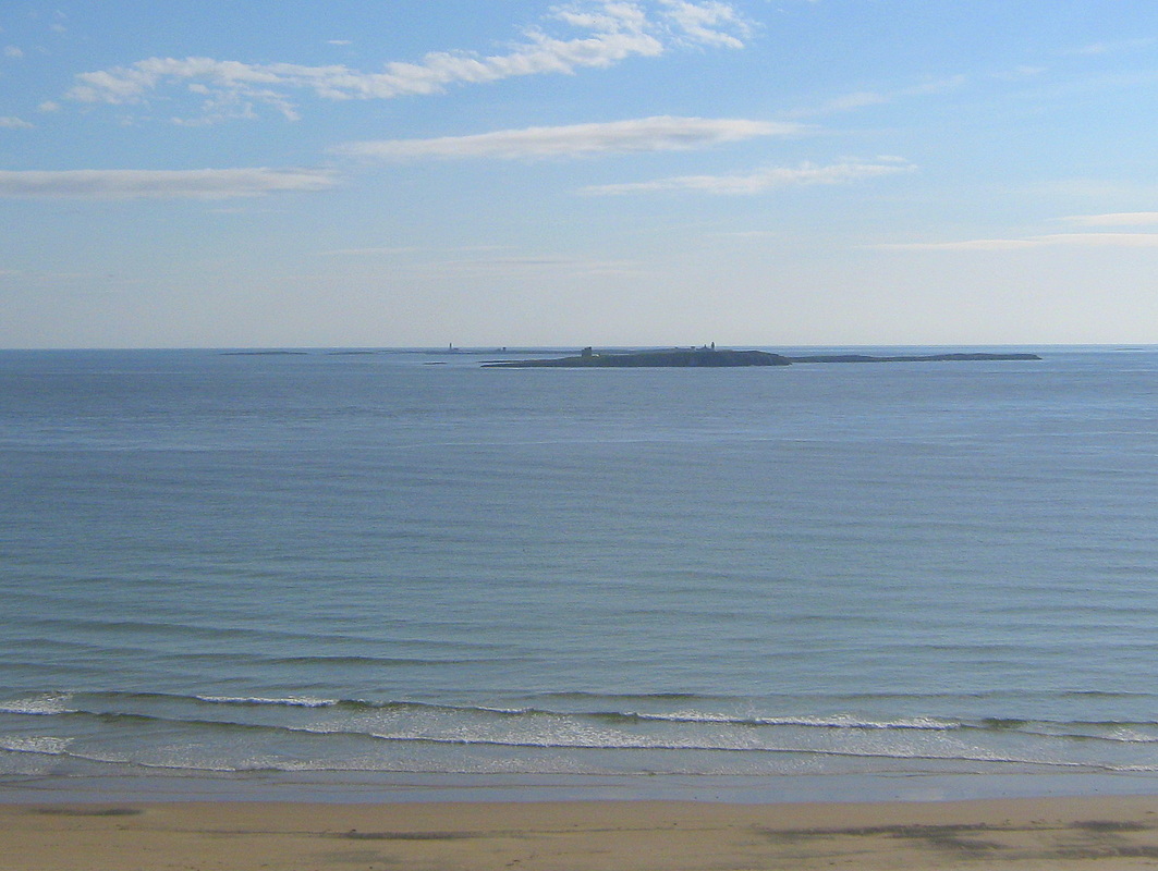
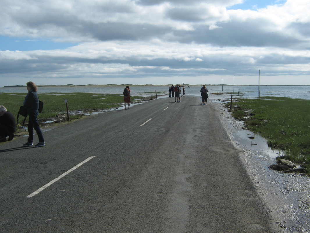
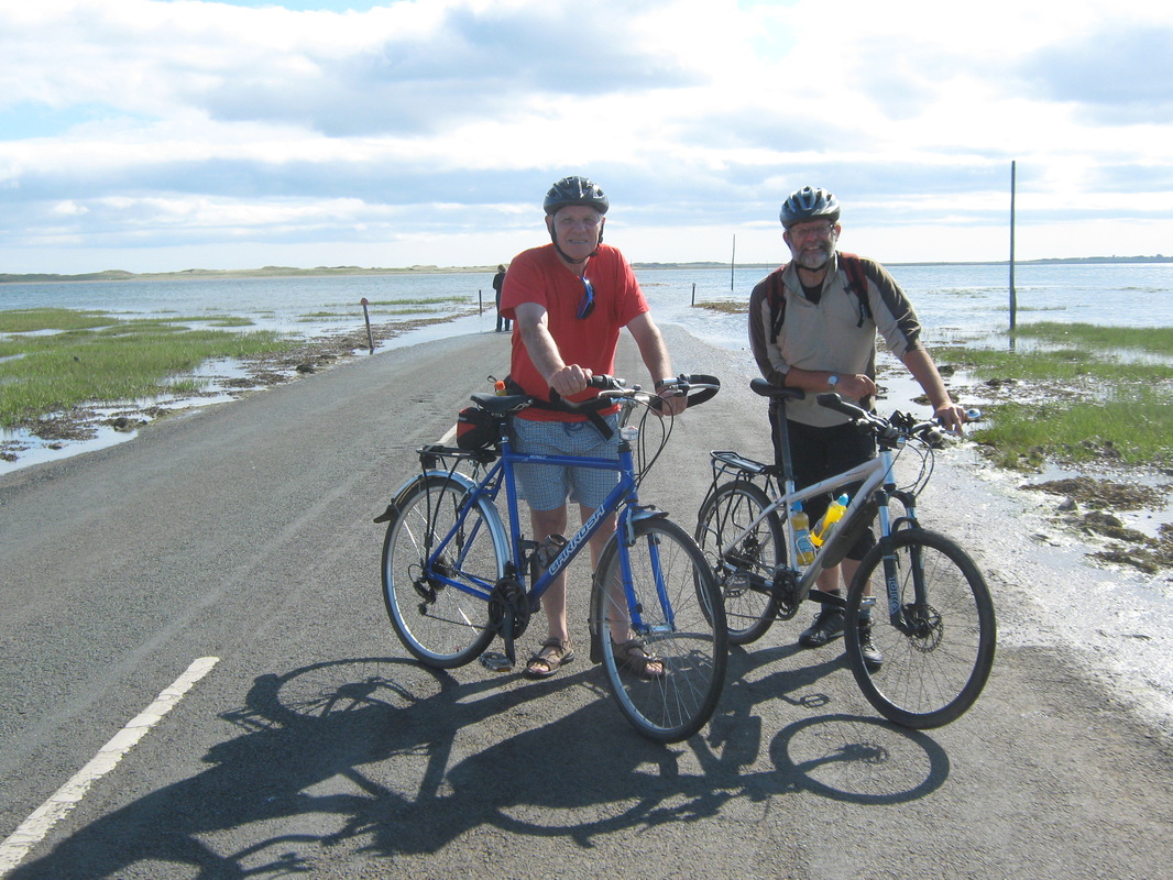
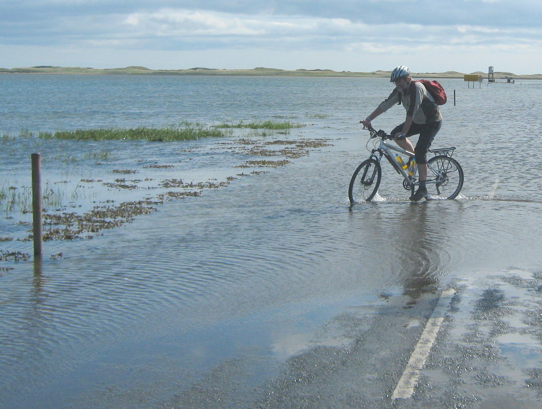
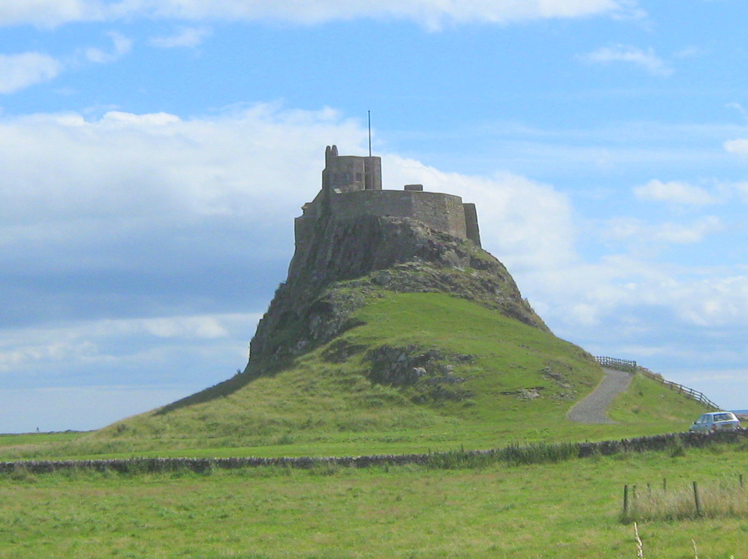
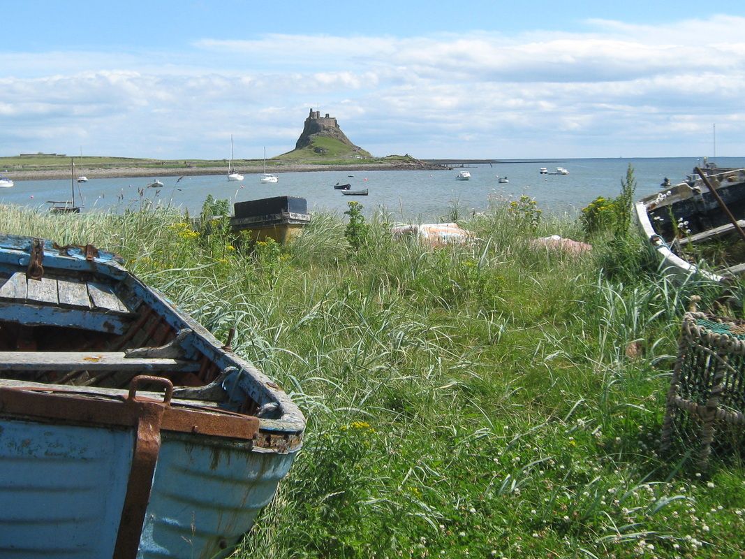
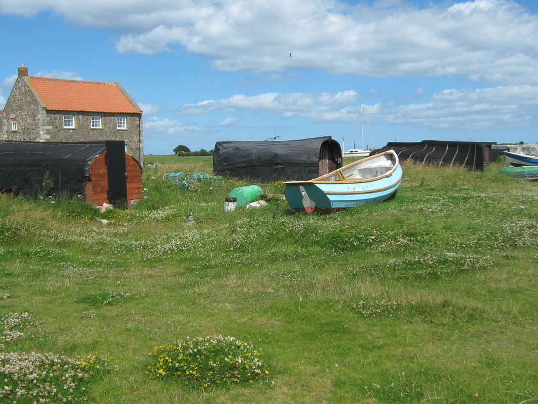
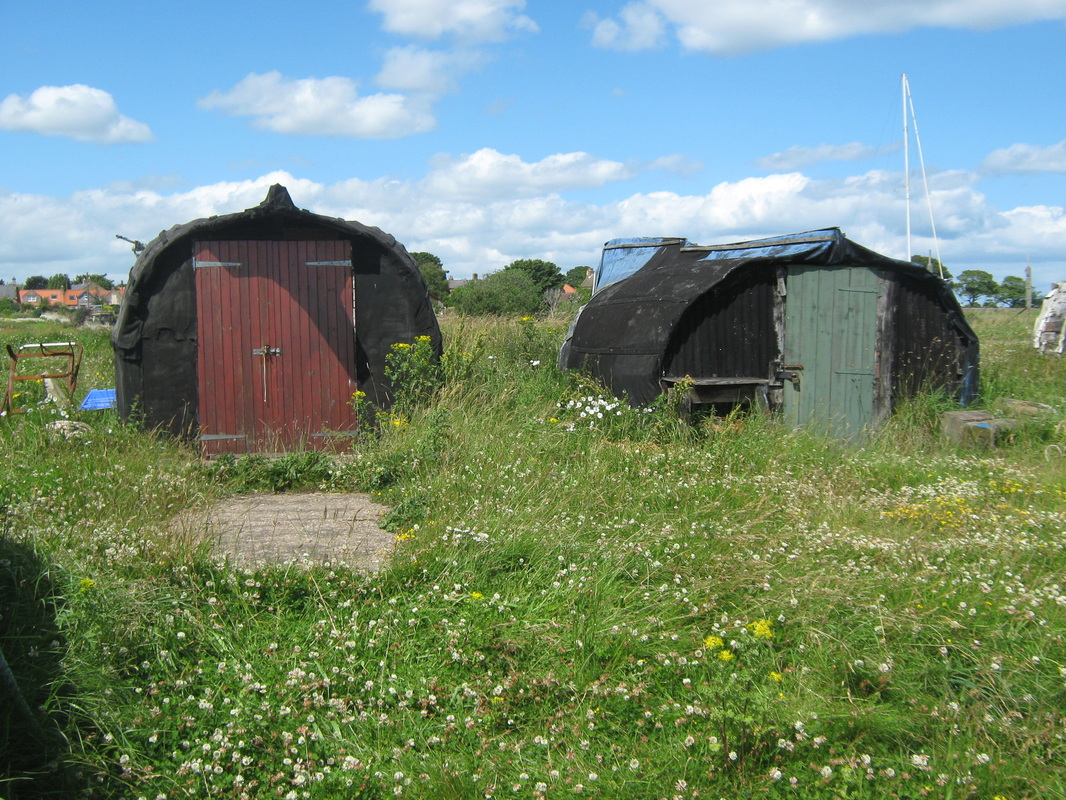
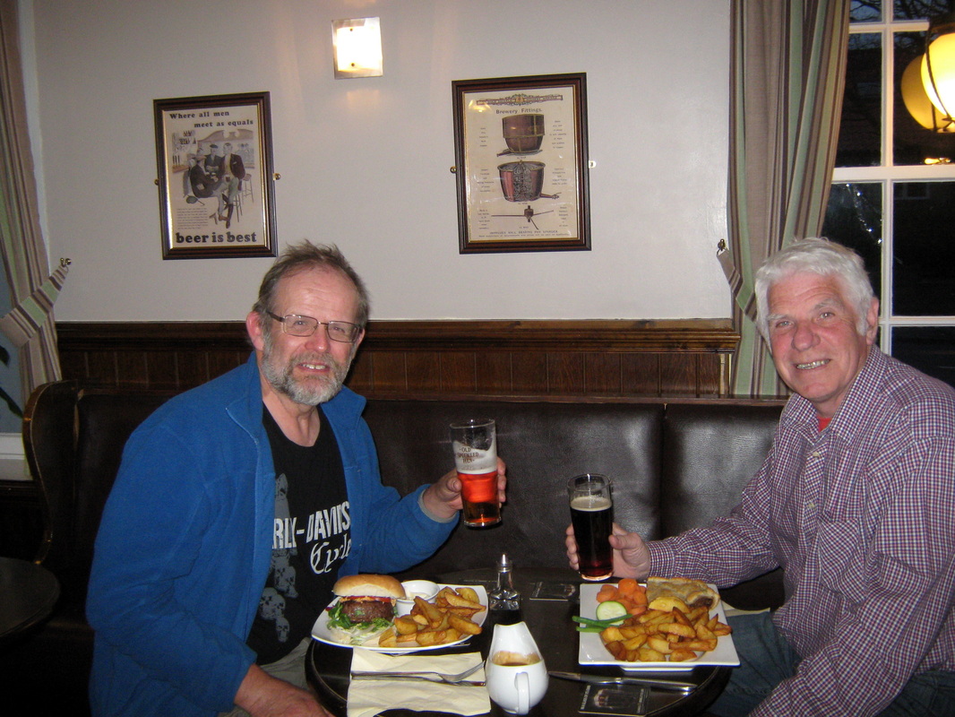
Holy Island 27th July
Distance 50.4
Grade Moderate
Weather Mainly sunny with a westerly breeze
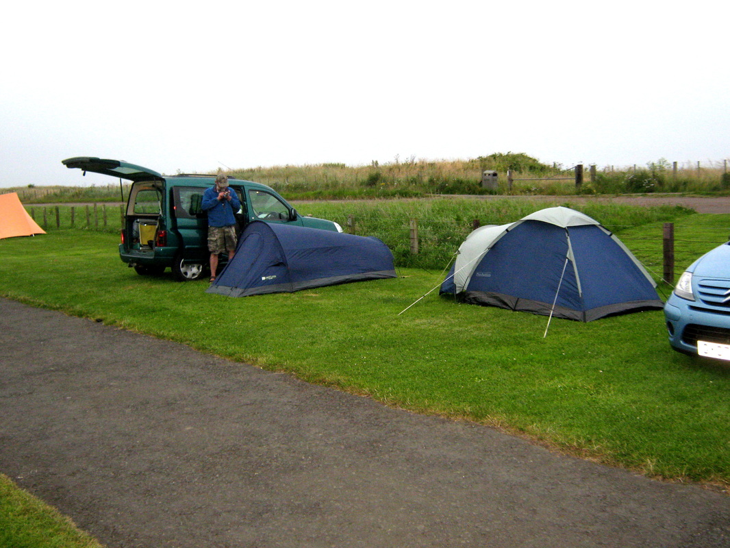
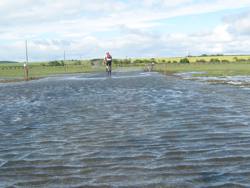
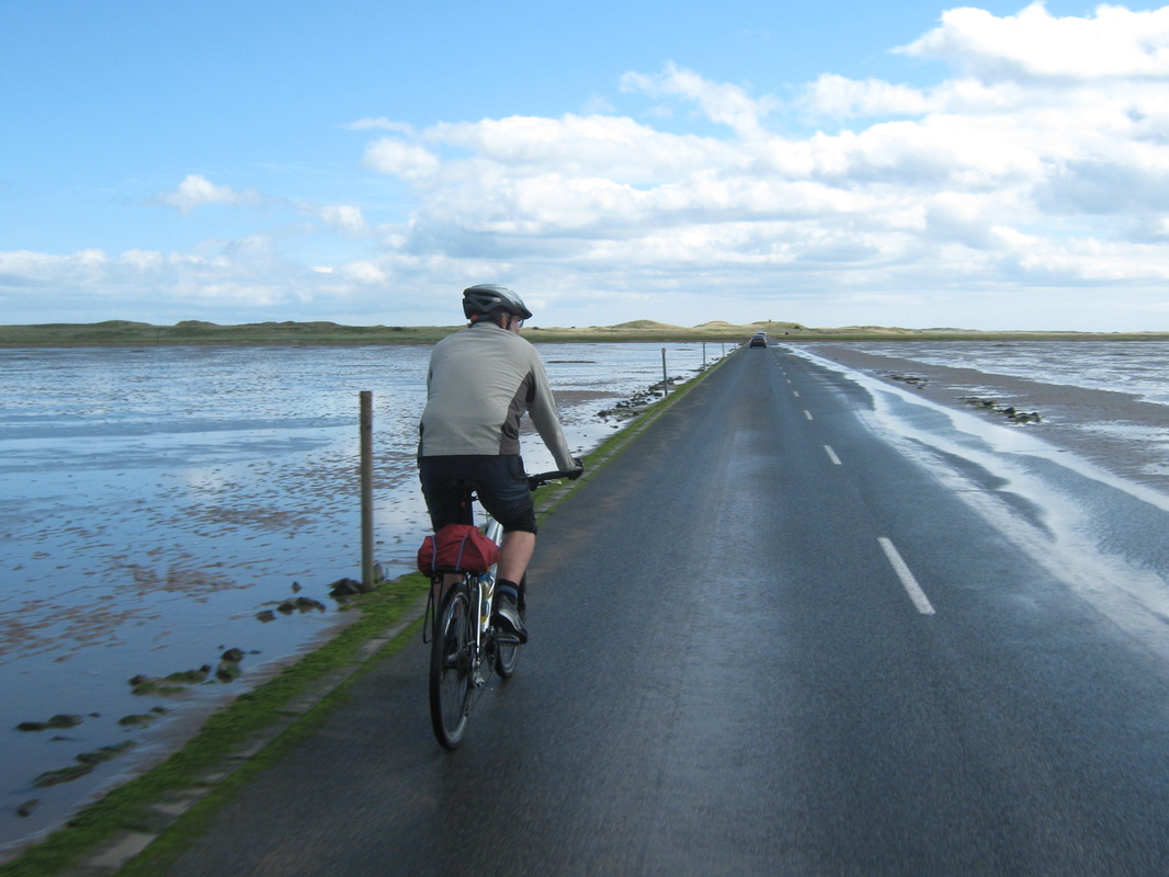
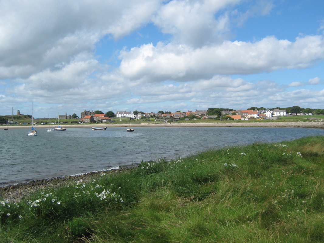
Just for a change John & I decided to go up to Northumberland and have a day's cycling to Holy Island. We drove up via the Tyne Tunnel and stopped at a camp-site at Beadnell where we booked in. We both thought the charge of £15.30 pp/pn night was a bit over the top but as the Warden pointed out, it was the high season. we were directed to a narrow strip of grass only a few yards from the main road where we set up camp. We found the facilities to be adequate but I do not think that we will return any time soon. After pitching our tents we strolled into the village and found the Beadnall Towers Hotel where we sampled the ales on offer, no complaints there but the barman could have been a little more sociable.
Next day, we had a light breakfast and set off bright and early to ride to Holy Island Using partly main roads & partly cycle routes along quiet lanes. After the North Yorkshire Moors where I do most of my riding, the hills were rather tame but at the end of the day we had achieved an total of 1312 ft in altitude which was more than I expected. we arrived at the causeway long before the tide had gone out so we had a little play in the water and settled down for a while before the crossing was open to traffic and allowed us to cross. Once over we did the usual touristy things before having a coffee & sticky cake before returning to Beadnell by the same route. As we reached the camp gates I noticed that we had only covered 48 miles so a couple of circuits around the village and we had completed my first 50 mile ride for over 40 years
Grade Moderate
Weather Mainly sunny with a westerly breeze
Just for a change John & I decided to go up to Northumberland and have a day's cycling to Holy Island. We drove up via the Tyne Tunnel and stopped at a camp-site at Beadnell where we booked in. We both thought the charge of £15.30 pp/pn night was a bit over the top but as the Warden pointed out, it was the high season. we were directed to a narrow strip of grass only a few yards from the main road where we set up camp. We found the facilities to be adequate but I do not think that we will return any time soon. After pitching our tents we strolled into the village and found the Beadnall Towers Hotel where we sampled the ales on offer, no complaints there but the barman could have been a little more sociable.
Next day, we had a light breakfast and set off bright and early to ride to Holy Island Using partly main roads & partly cycle routes along quiet lanes. After the North Yorkshire Moors where I do most of my riding, the hills were rather tame but at the end of the day we had achieved an total of 1312 ft in altitude which was more than I expected. we arrived at the causeway long before the tide had gone out so we had a little play in the water and settled down for a while before the crossing was open to traffic and allowed us to cross. Once over we did the usual touristy things before having a coffee & sticky cake before returning to Beadnell by the same route. As we reached the camp gates I noticed that we had only covered 48 miles so a couple of circuits around the village and we had completed my first 50 mile ride for over 40 years
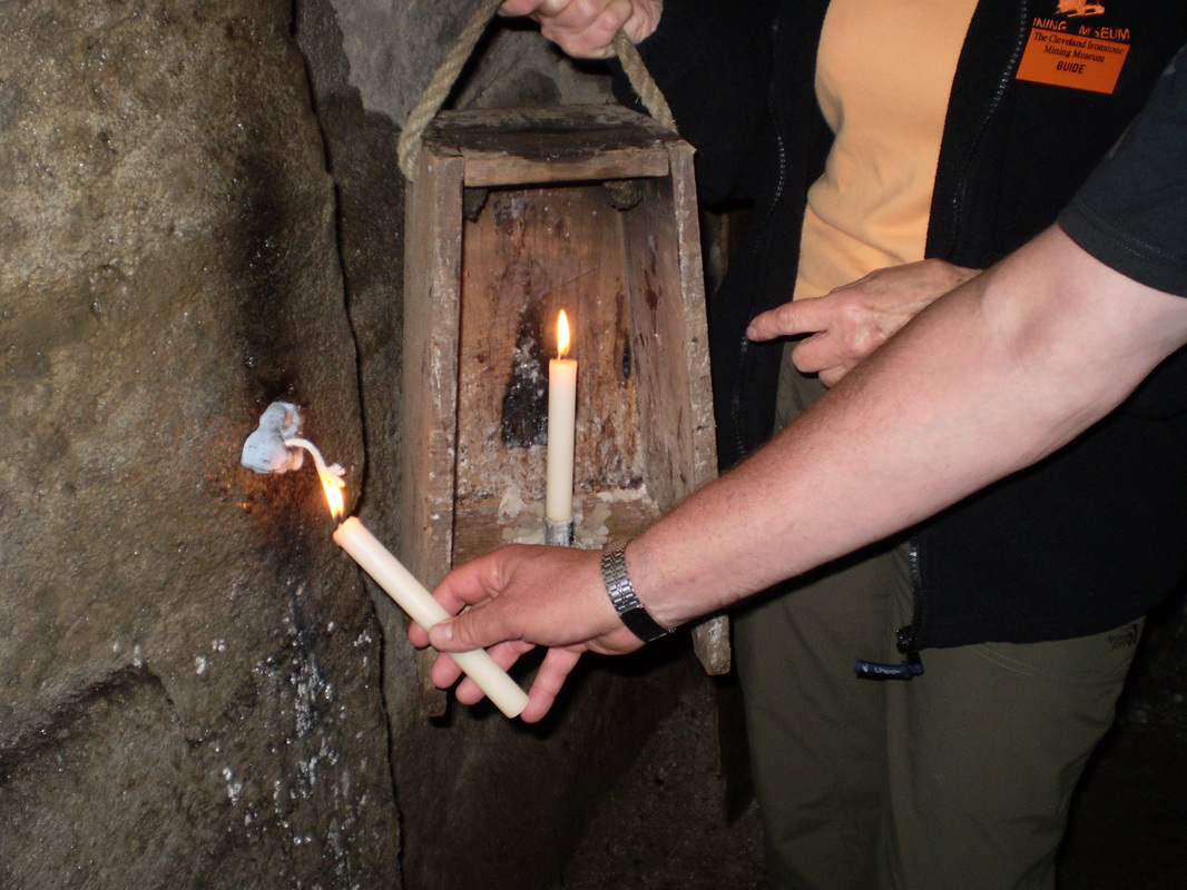
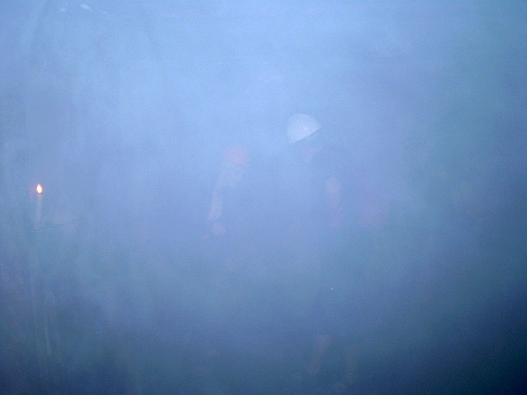
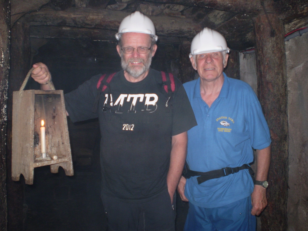
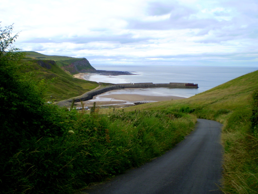
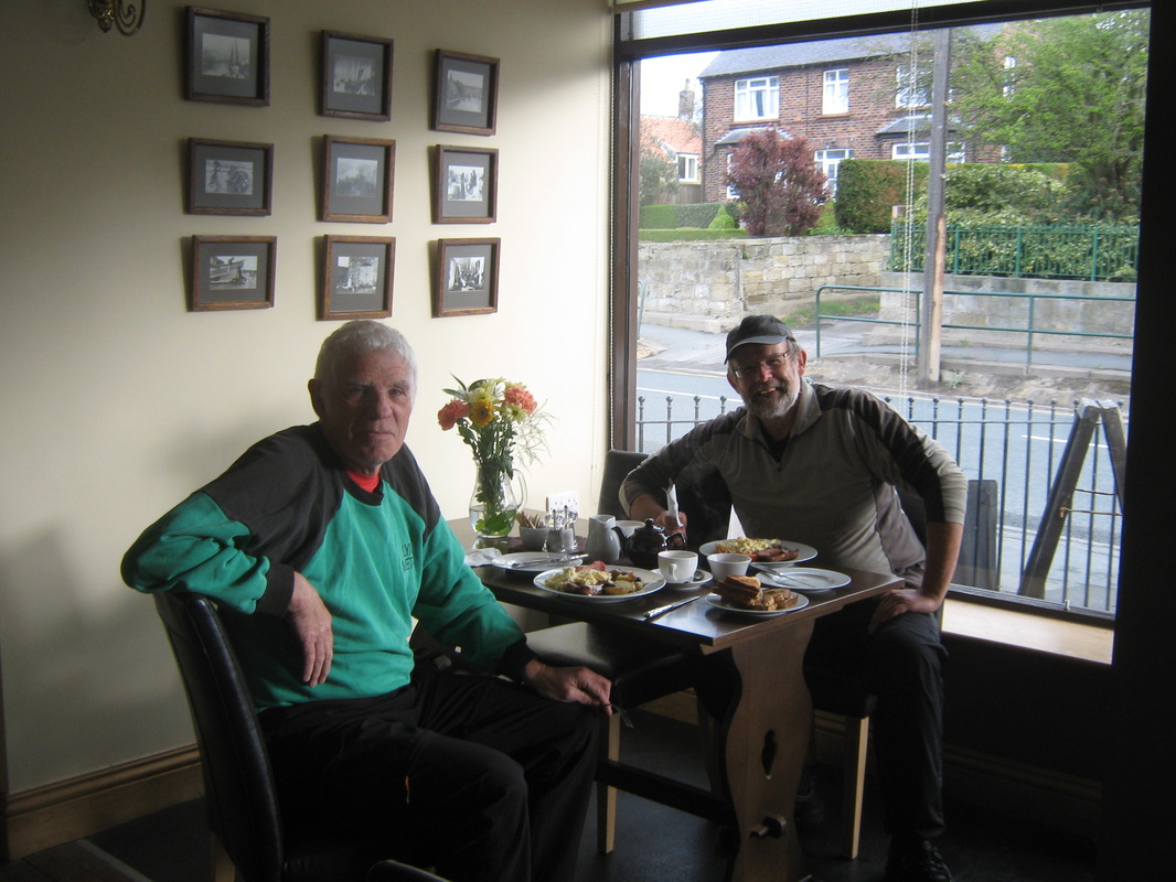
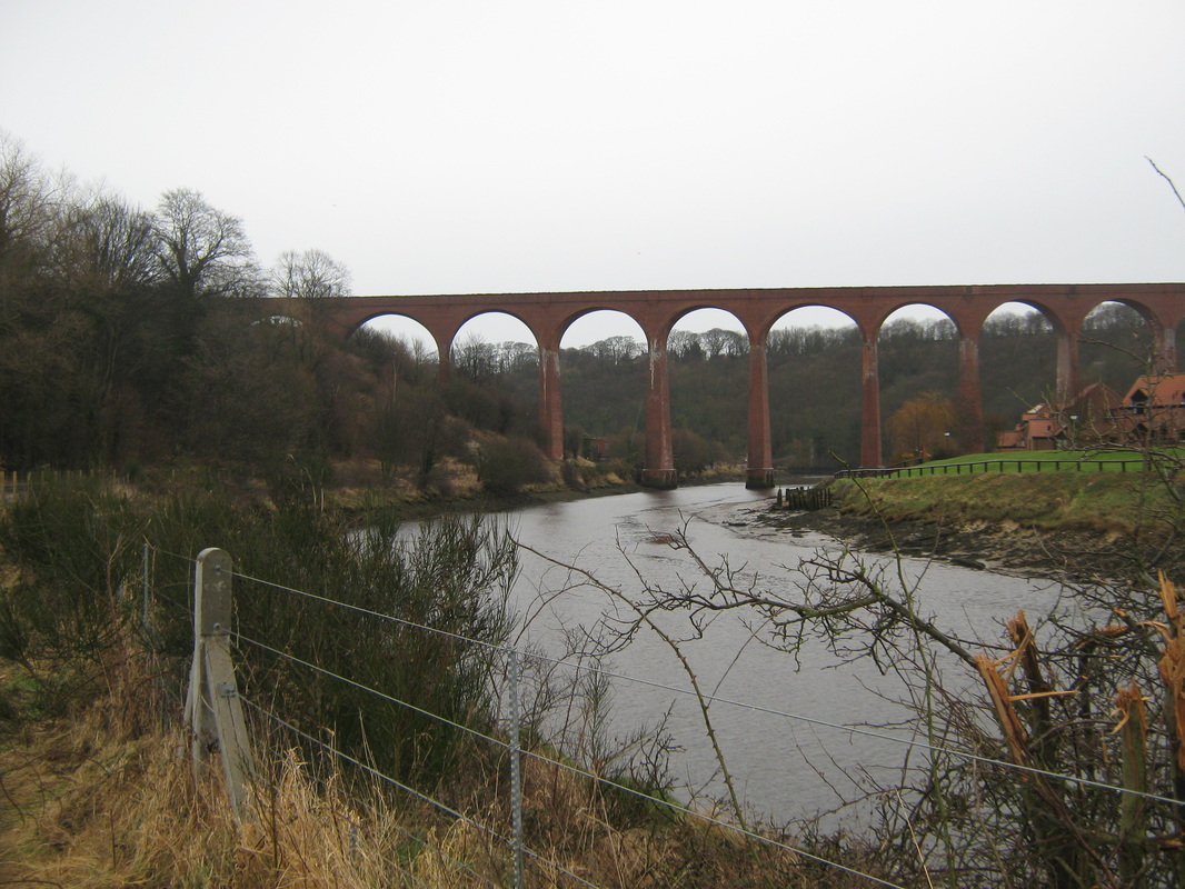
Cleveland Ironstone Mining Museum 24th July
Distance 34.6 miles
Grade Moderate to hard
Weather Warm & humid with North,westerly breeze
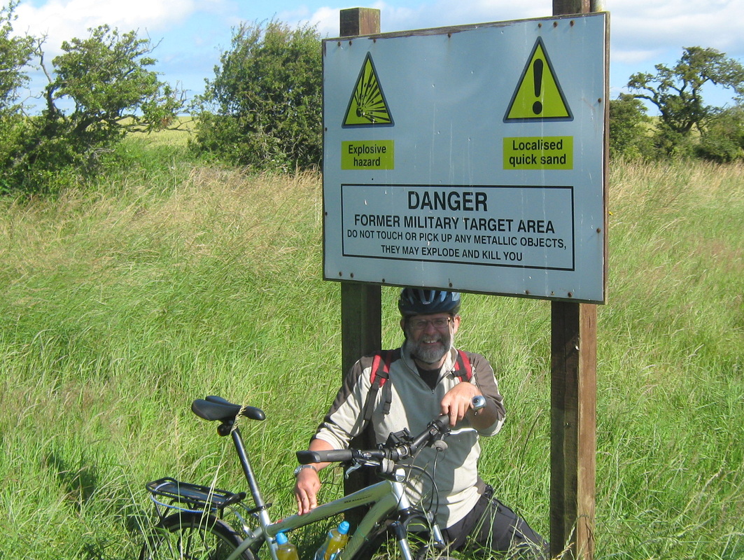
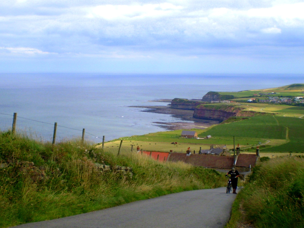
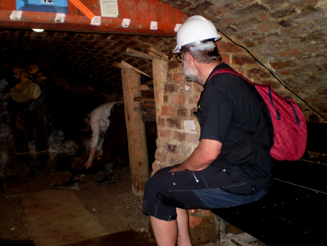
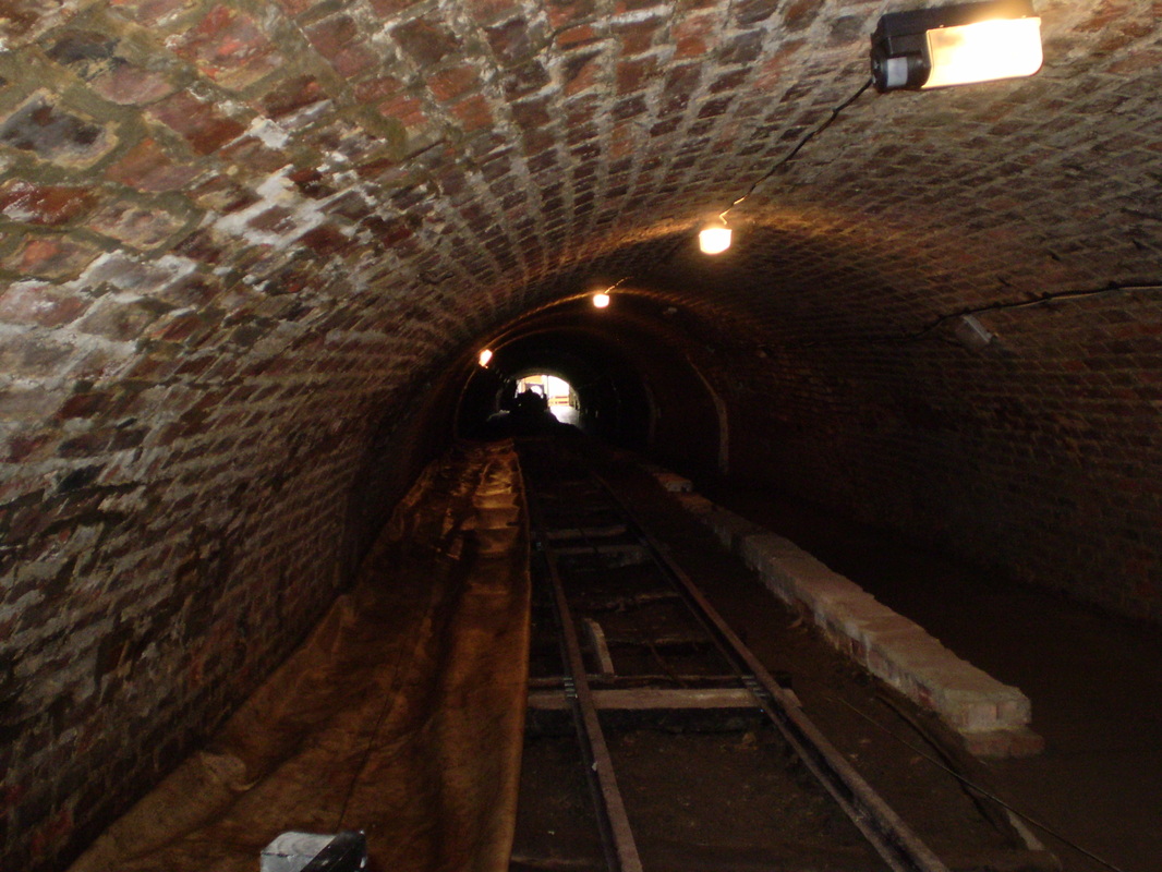
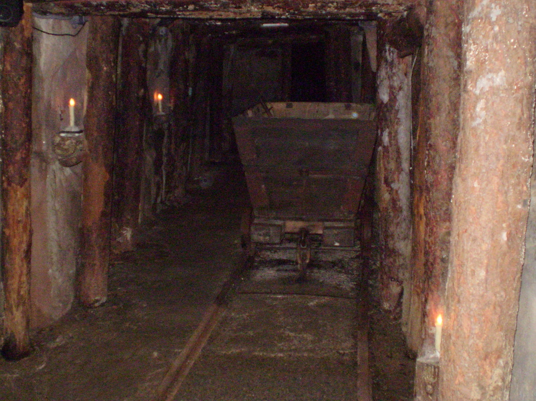
For a little while now John and I have wanted to make a visit to the Ironstone Mining Museum at Skinningrove so this was today's ride. The first part of our route was via Newholme, Dunsley & West Barnby. From there we took the main road to Hinderwell where we stopped for a sandwich and a coffee before making our way to Boulby Bank and there we took the old road over to Skinningrove. This has never been one of my favourite places as it has always appeared to be a scruffy sort of place where visitors were never welcome. However on this occasion everywhere was a lot more tidy than I have seen it in the past although other than a few people on the beach or sat in their front gardens, it was extremely quite.
We found the museum OK and found the staff to be very friendly and helpful. Our visit was well worth while and I personally would recommend a visit to anyone in the area.
We left the museum late in the afternoon and made our way home using the main road and pausing only for a short break in Sandsend.
Grade Moderate to hard
Weather Warm & humid with North,westerly breeze
For a little while now John and I have wanted to make a visit to the Ironstone Mining Museum at Skinningrove so this was today's ride. The first part of our route was via Newholme, Dunsley & West Barnby. From there we took the main road to Hinderwell where we stopped for a sandwich and a coffee before making our way to Boulby Bank and there we took the old road over to Skinningrove. This has never been one of my favourite places as it has always appeared to be a scruffy sort of place where visitors were never welcome. However on this occasion everywhere was a lot more tidy than I have seen it in the past although other than a few people on the beach or sat in their front gardens, it was extremely quite.
We found the museum OK and found the staff to be very friendly and helpful. Our visit was well worth while and I personally would recommend a visit to anyone in the area.
We left the museum late in the afternoon and made our way home using the main road and pausing only for a short break in Sandsend.
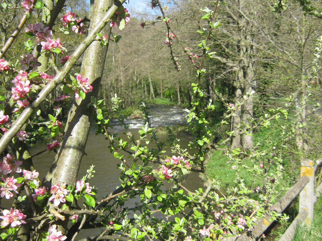
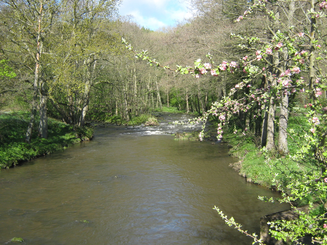
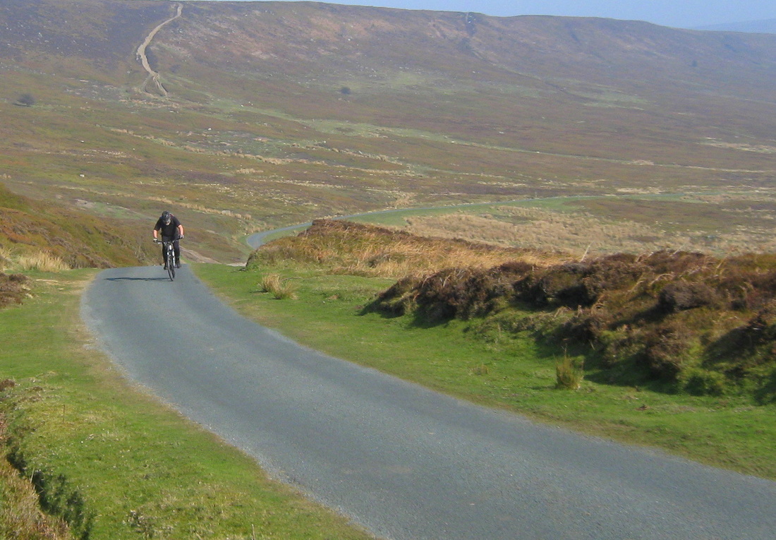
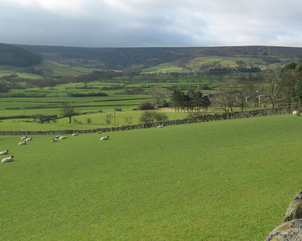
Heartbeat Country 16th May
Distance 26.2 miles
Grade Moderate with a couple of fierce hills
Weather Excellent
I can best describe this day out as a dawdle. As stated above the weather could not have been better for me and at almost every opportunity or for any excuse I would stop, sit awhile, or simply stroll around. I was quite pleased to climb Blue Bank on the A164 without stopping although my legs were like jelly when I reached the top. I have to confess however to walking most of the way up Dog Leg Bank out of Grosmont.
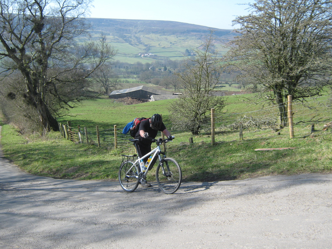
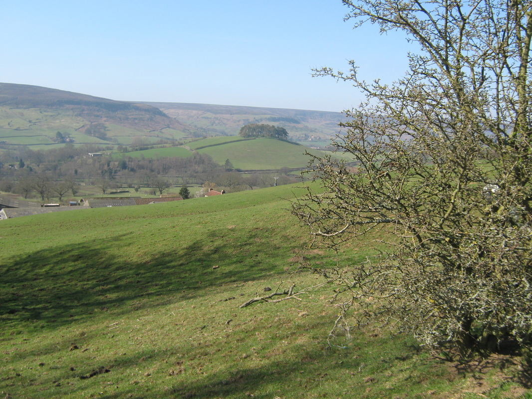
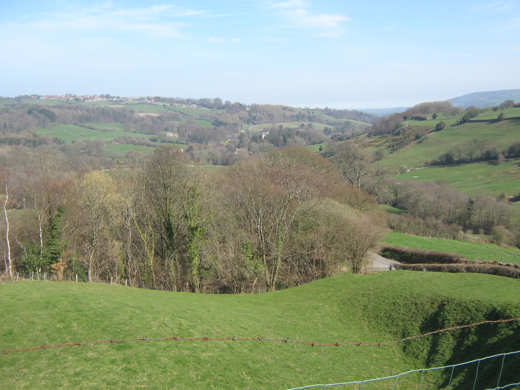
Lealholme 6th May
Distance 24.5 miles
Grade Moderate with Hills
Weather Bright but cool
A ride up the Esk valley. Our route was via Slieghts, Grosmont, Egton & Glaisdale. I did almost the same ride two days later because I was not satisfied with some of the photo,s I took the first time.
Grade Moderate with Hills
Weather Bright but cool
A ride up the Esk valley. Our route was via Slieghts, Grosmont, Egton & Glaisdale. I did almost the same ride two days later because I was not satisfied with some of the photo,s I took the first time.
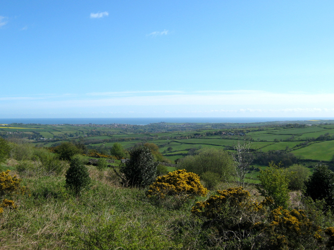
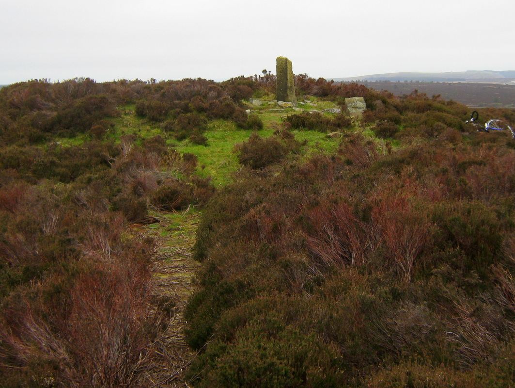
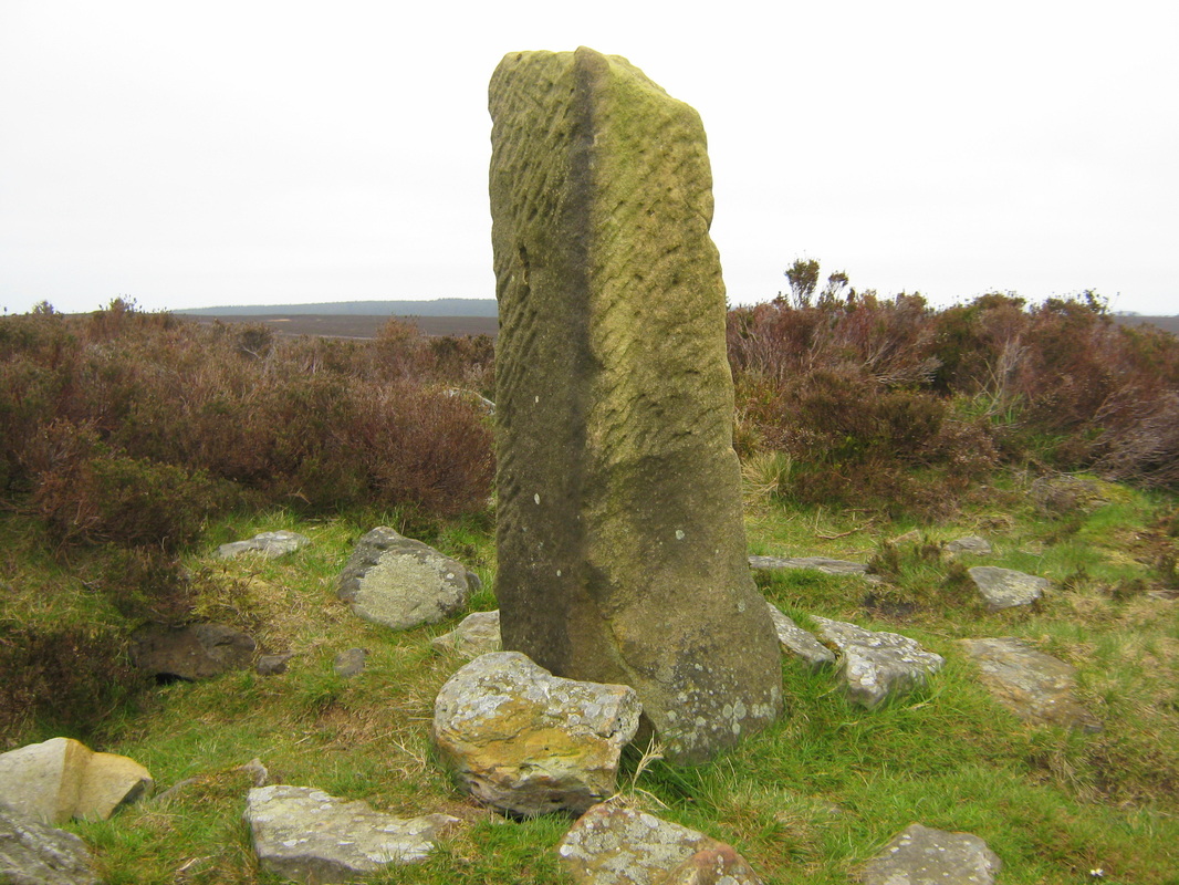
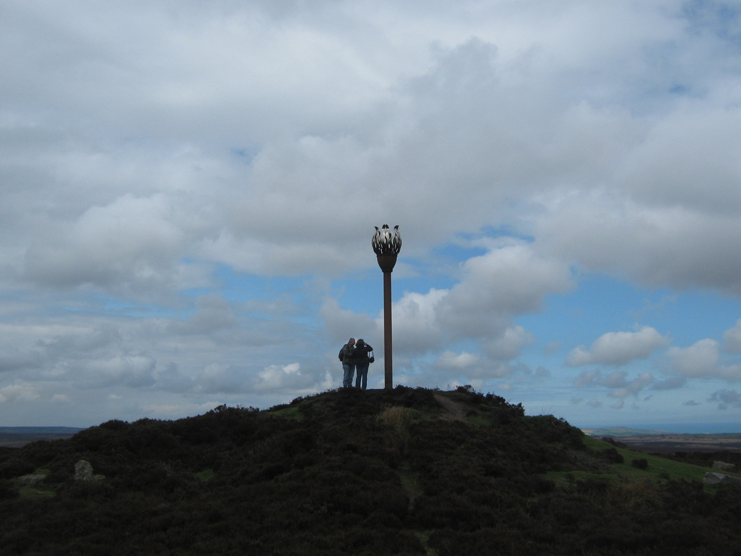
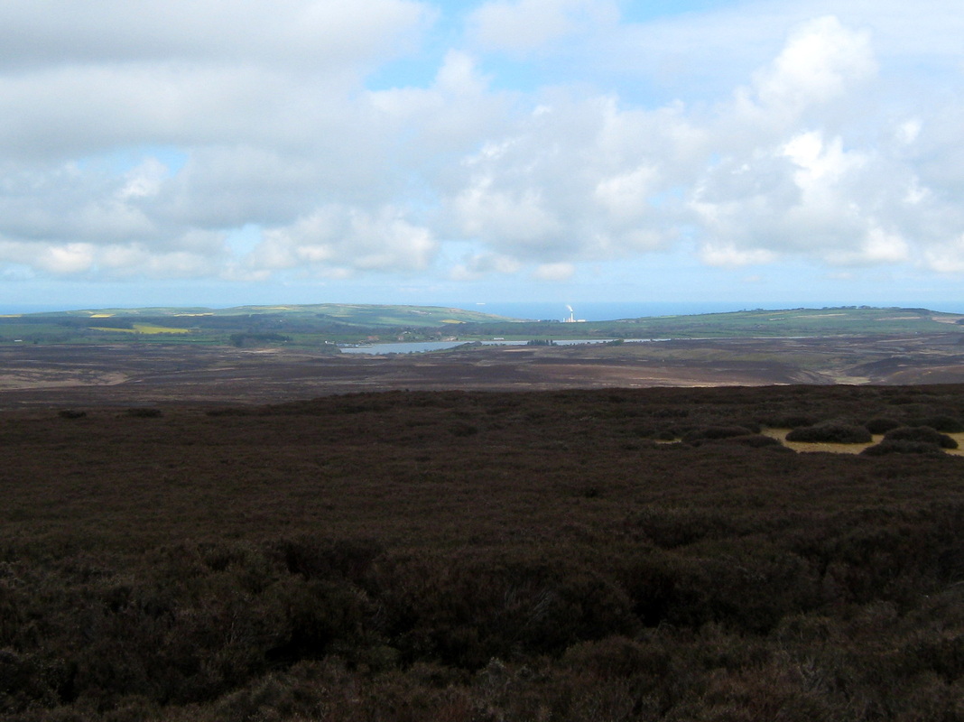
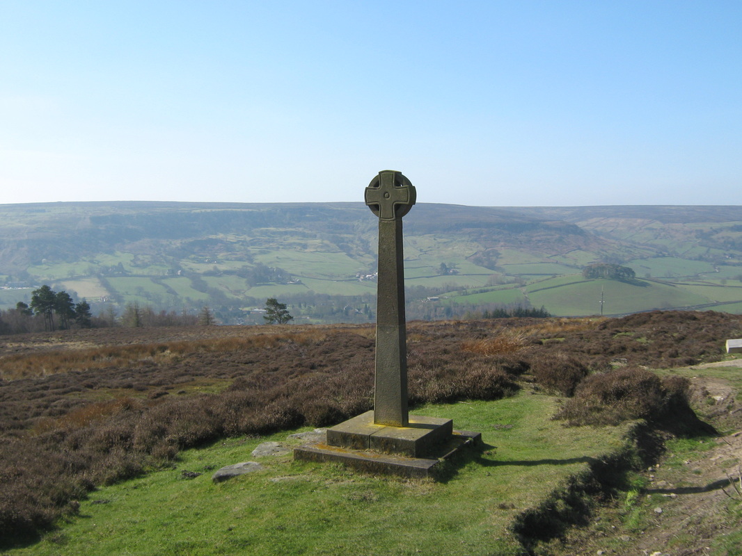
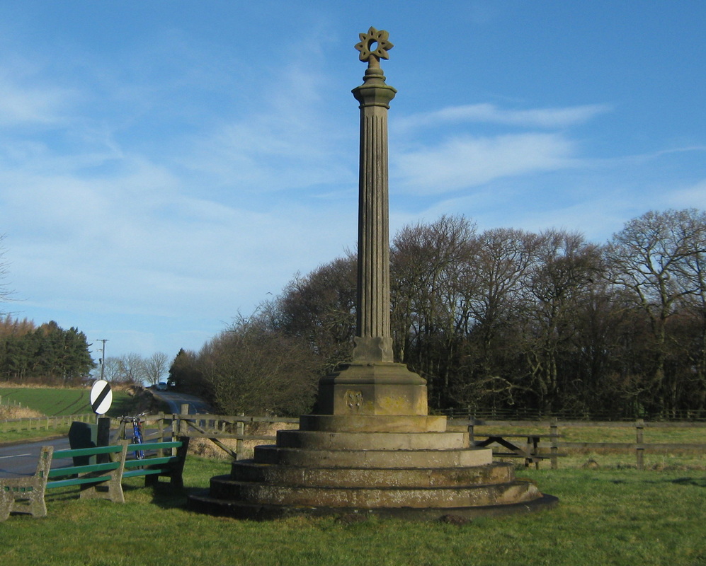
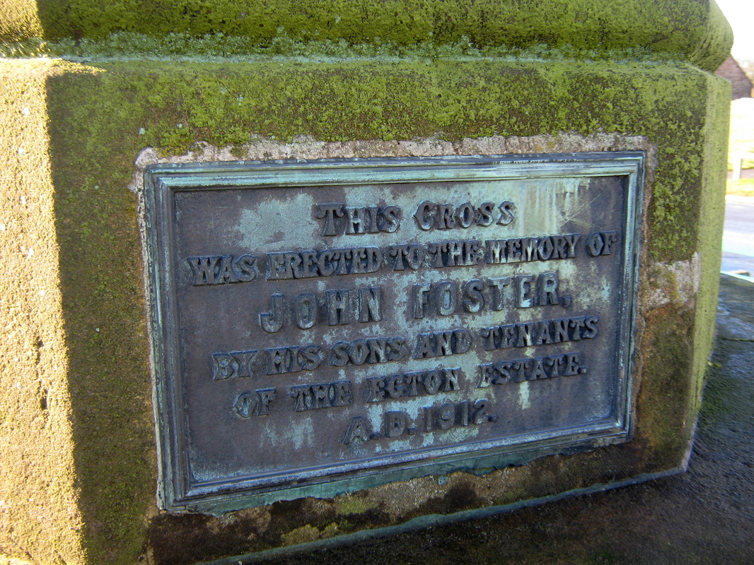
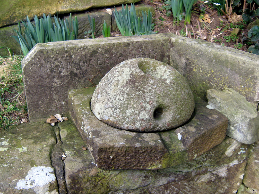
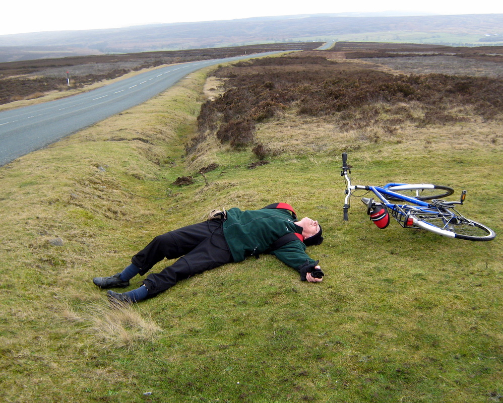
Louven Howe & Lilla Cross. 3rd May
Distance 24 miles
Grade Moderate
The weather was overcast & quite cold, It didn't rain at all but the sky was heavily overcast all day. I last did this ride with John last October but some of the photoes I took on that occasion were not very good at all and I am afraid this time they are not a lot better.
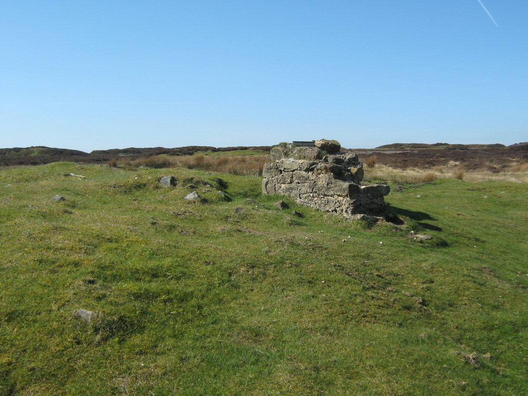
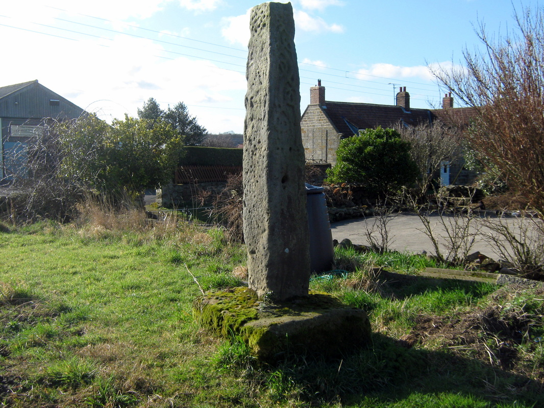
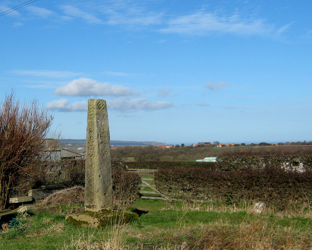
Louven Howe is a Burial mound on Fylingdales Moor and is surmounted by a boundry stone inscribed with a letter 'C', this is thought to be the mark of the Comley Estate. Louven Howe stands on about the highest point for some distance around and this was once where the roads from Whitby, Robin Hoods Bay and Thornton le Dale met. The stone is part of a moorland cross which was erected in about 1121 to commemorate the wedding of Jaccelin de Louvain and Agness de Percy who's family owned this moorland. de Louven later changed his name to preserve his wifes dynisty. In the period 1649 and 1660, the cross, along with about 30 others in the area was broken by puritans because it offended their religious beliefs. (some things never change)
There is a legend about Louven Howe which says that a pot of gold was buried nearby which is protected by a 'Hag Worm' (bog serpent)
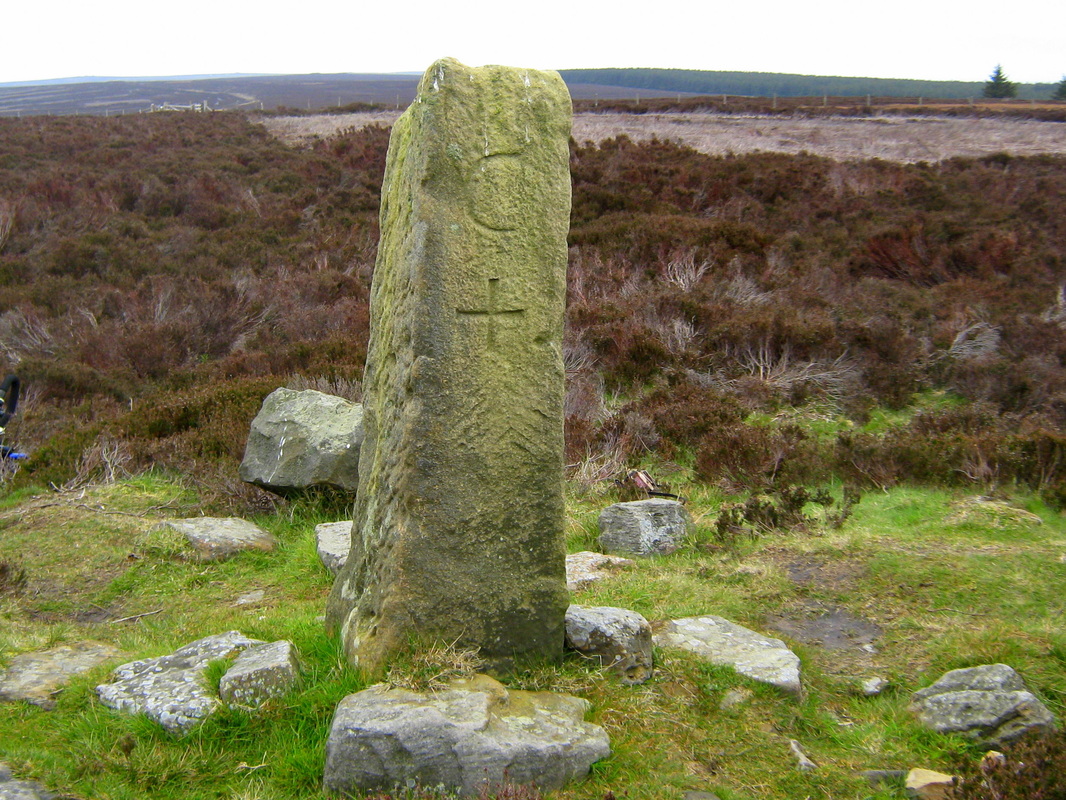
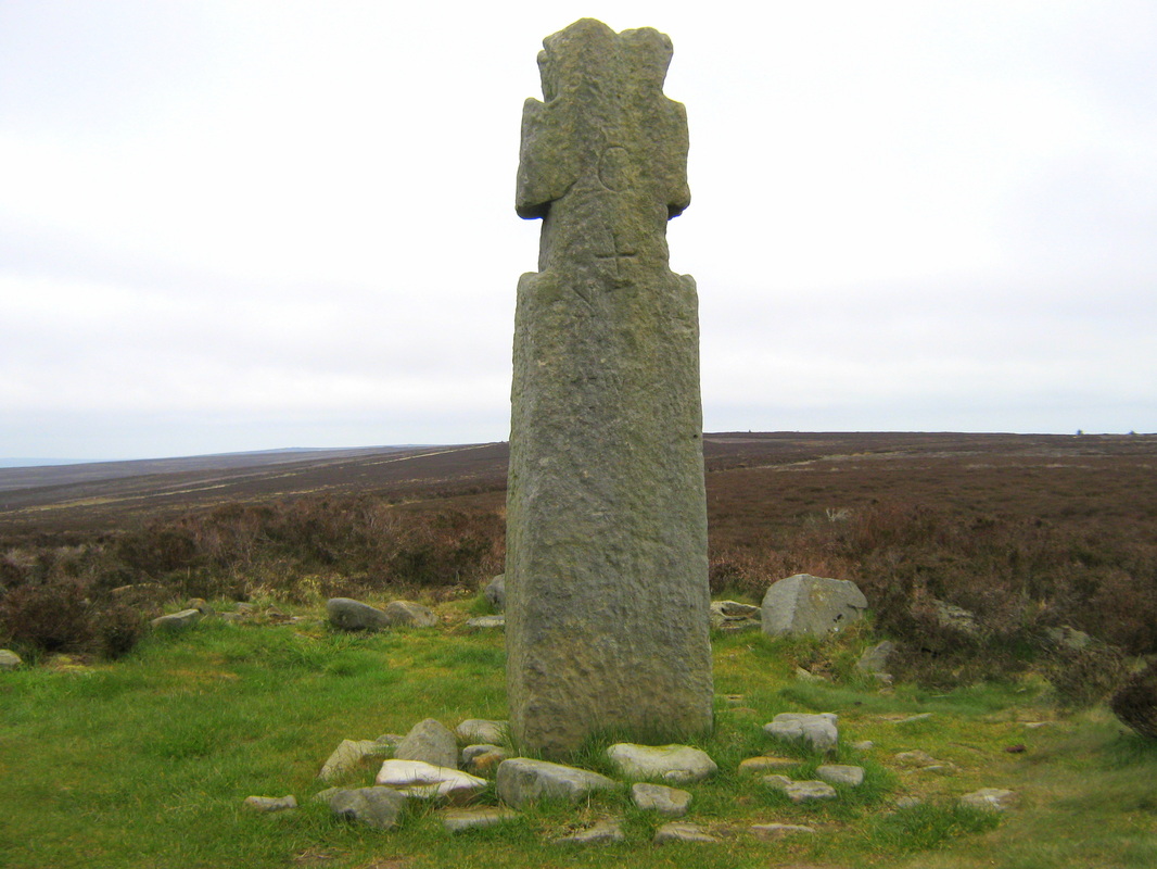
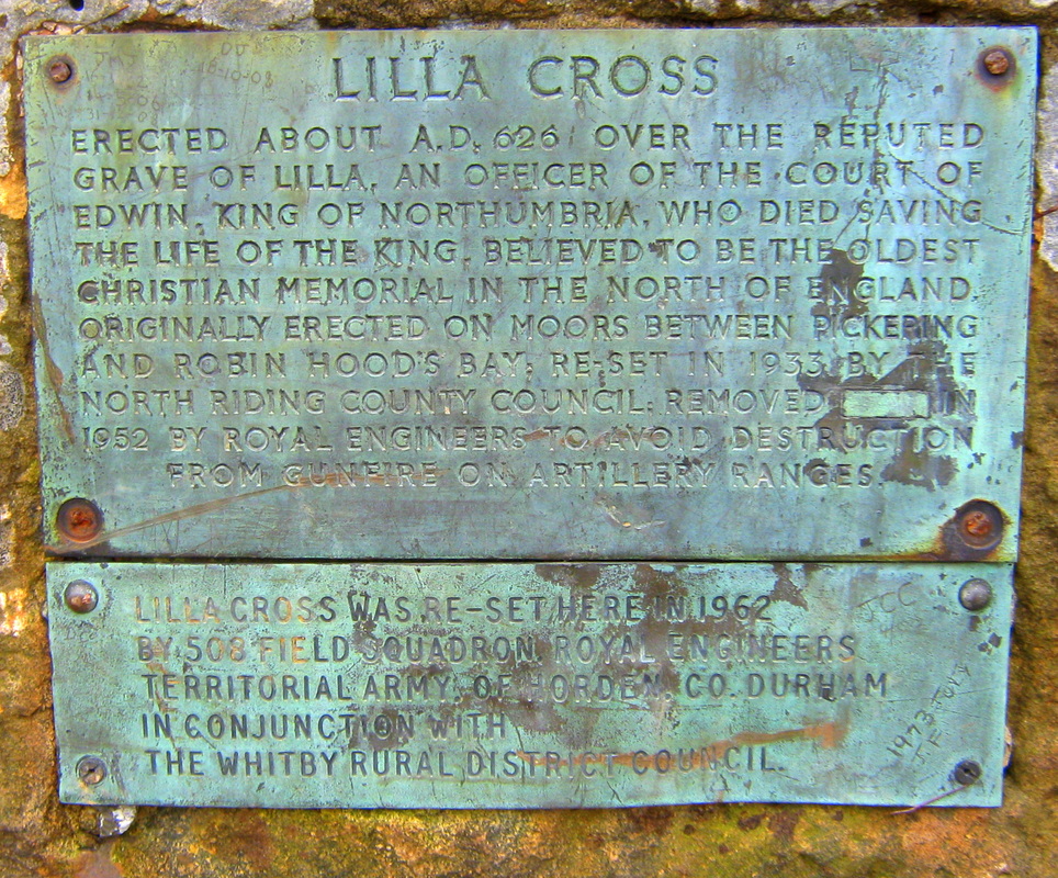
Not far away stands Lilla Cross, thought to be one of the oldest christian monuments in the North of England.
Grade Moderate
The weather was overcast & quite cold, It didn't rain at all but the sky was heavily overcast all day. I last did this ride with John last October but some of the photoes I took on that occasion were not very good at all and I am afraid this time they are not a lot better.
Louven Howe is a Burial mound on Fylingdales Moor and is surmounted by a boundry stone inscribed with a letter 'C', this is thought to be the mark of the Comley Estate. Louven Howe stands on about the highest point for some distance around and this was once where the roads from Whitby, Robin Hoods Bay and Thornton le Dale met. The stone is part of a moorland cross which was erected in about 1121 to commemorate the wedding of Jaccelin de Louvain and Agness de Percy who's family owned this moorland. de Louven later changed his name to preserve his wifes dynisty. In the period 1649 and 1660, the cross, along with about 30 others in the area was broken by puritans because it offended their religious beliefs. (some things never change)
There is a legend about Louven Howe which says that a pot of gold was buried nearby which is protected by a 'Hag Worm' (bog serpent)
Not far away stands Lilla Cross, thought to be one of the oldest christian monuments in the North of England.
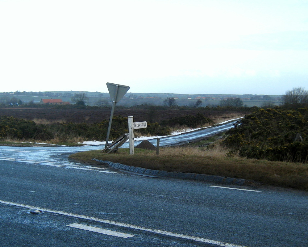
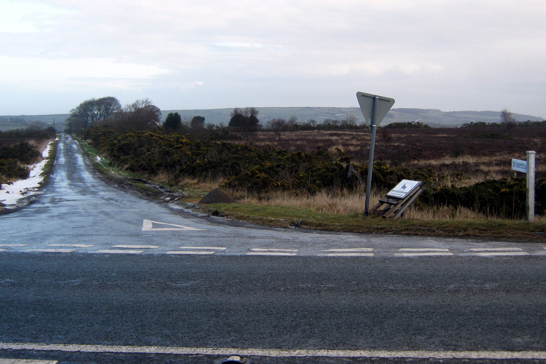
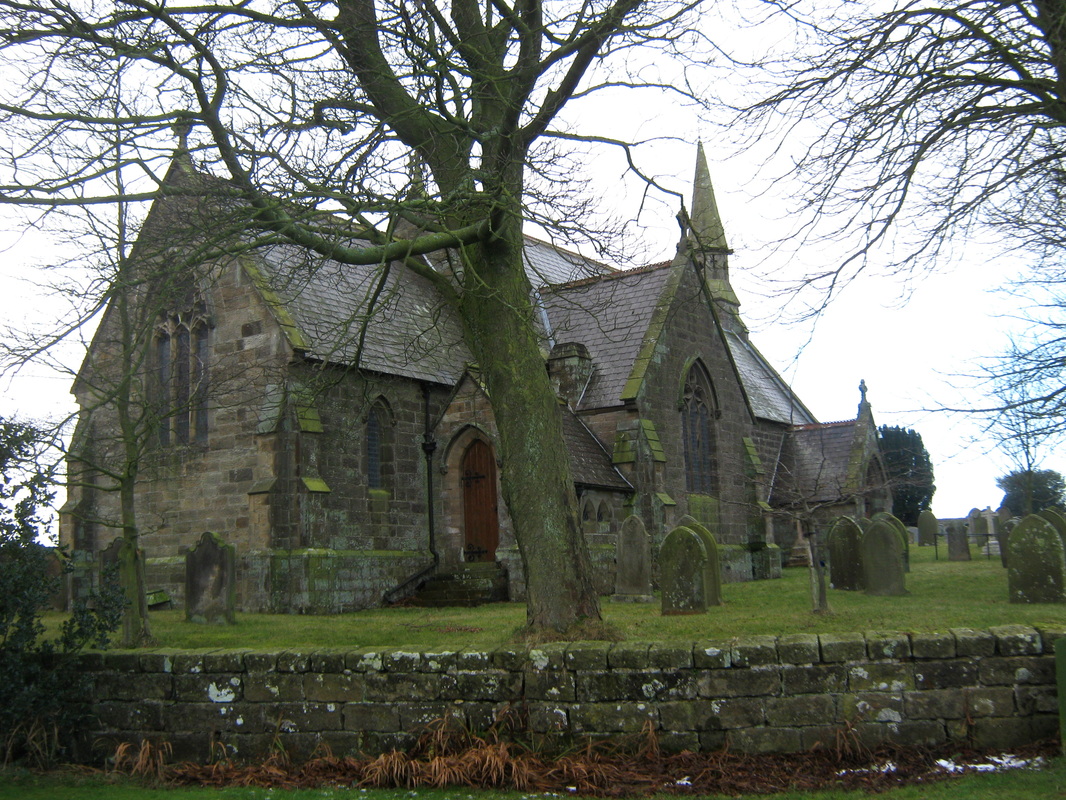
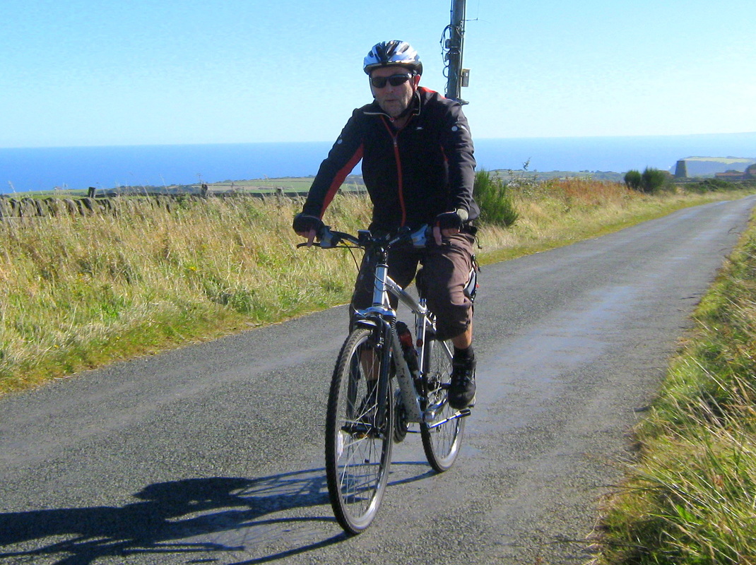
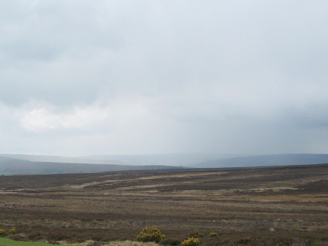
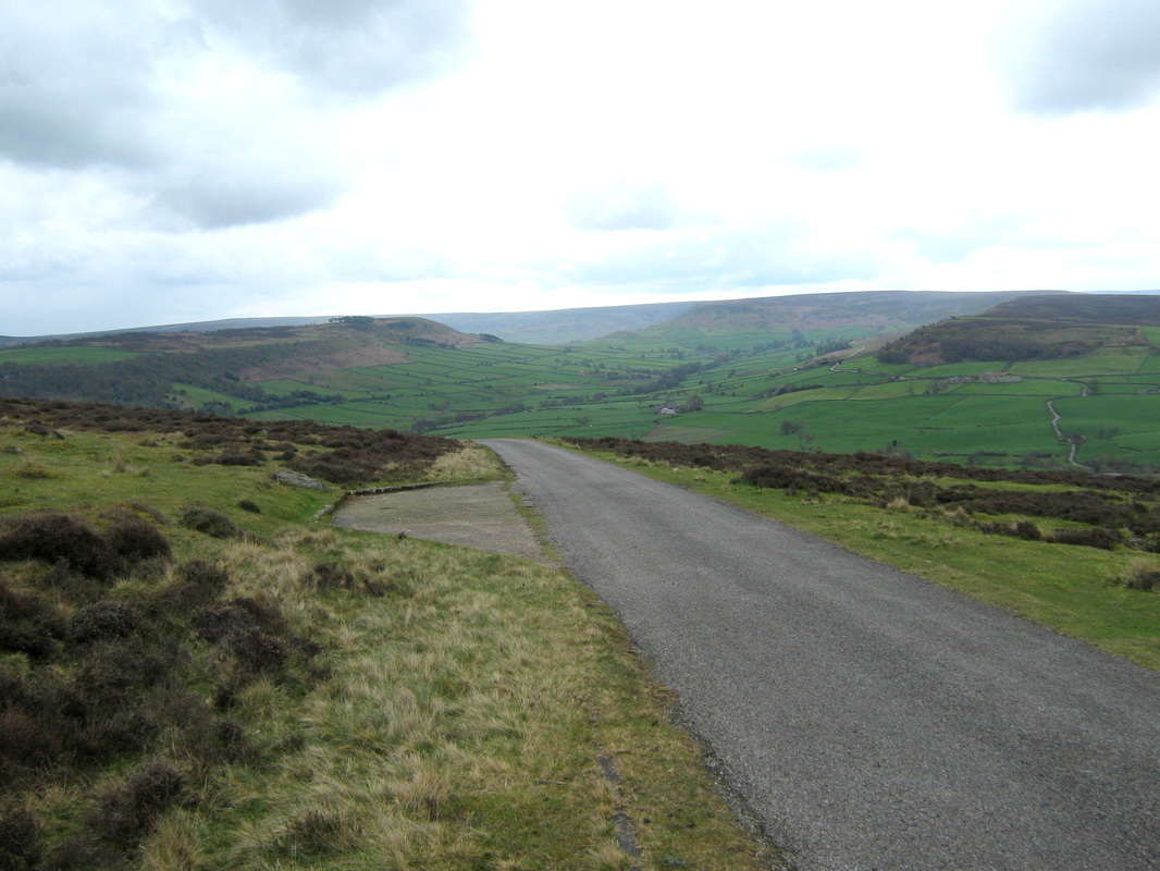
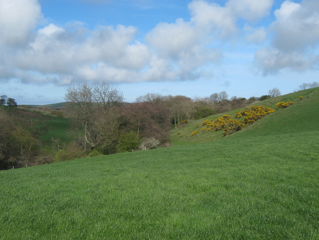
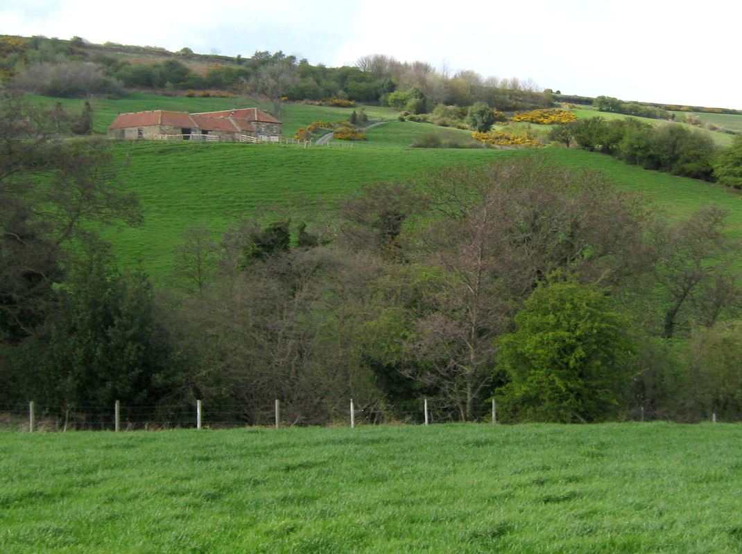
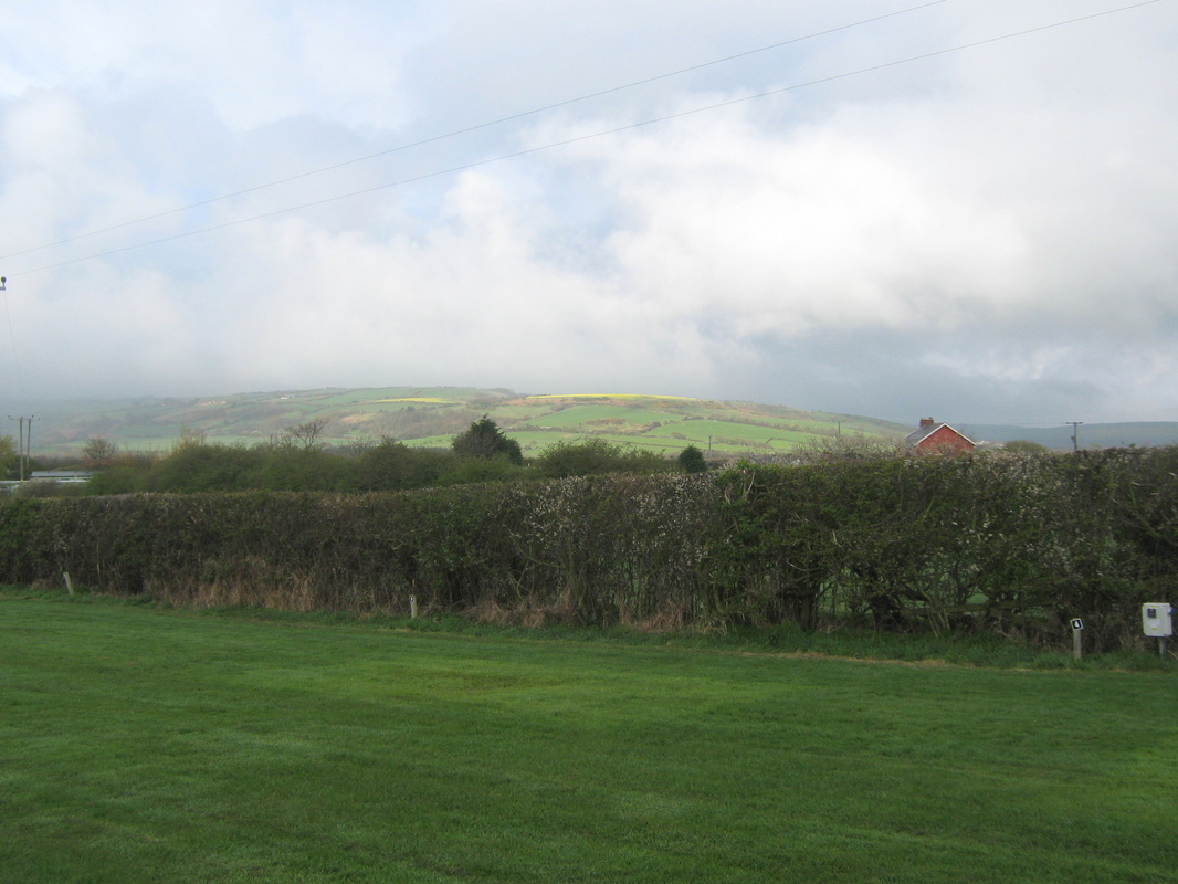
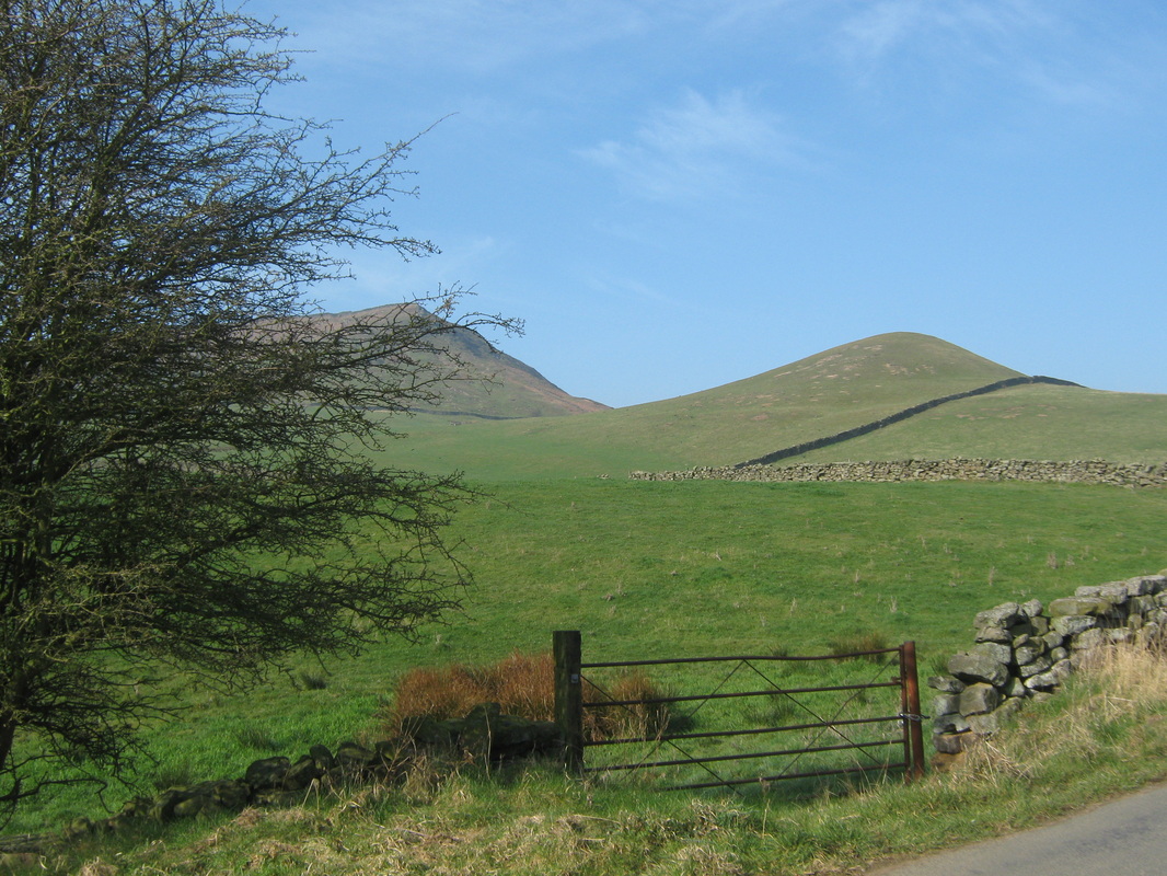
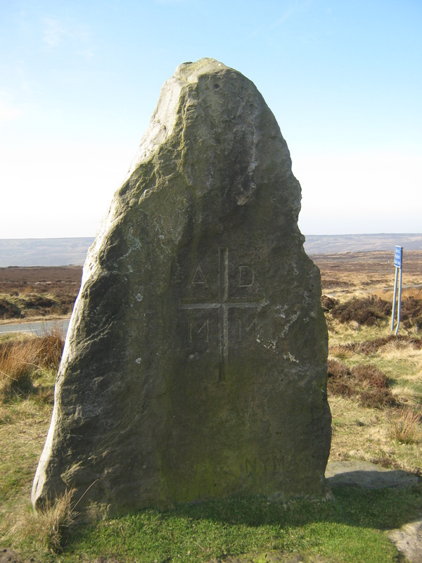
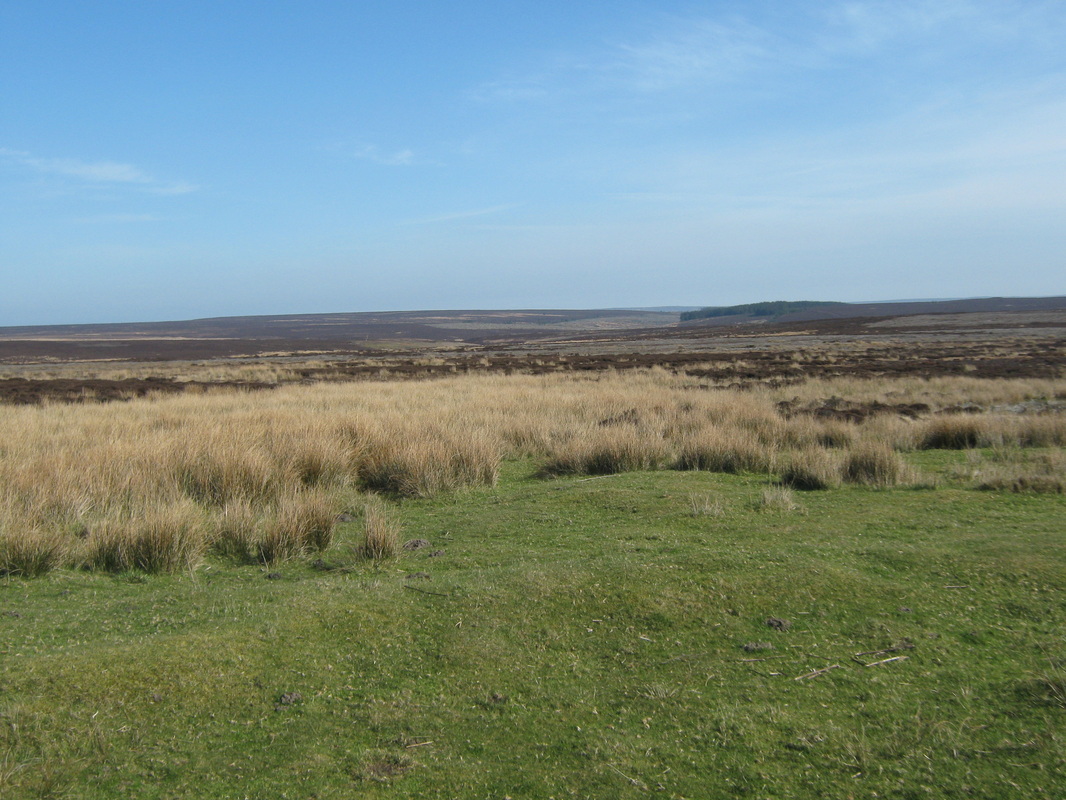
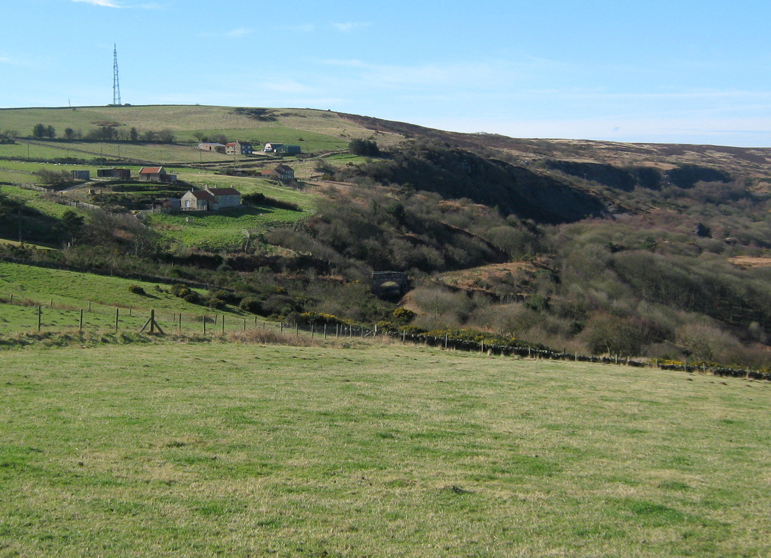
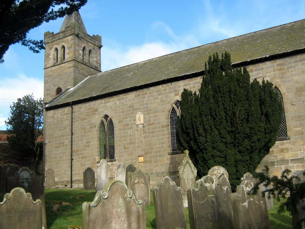
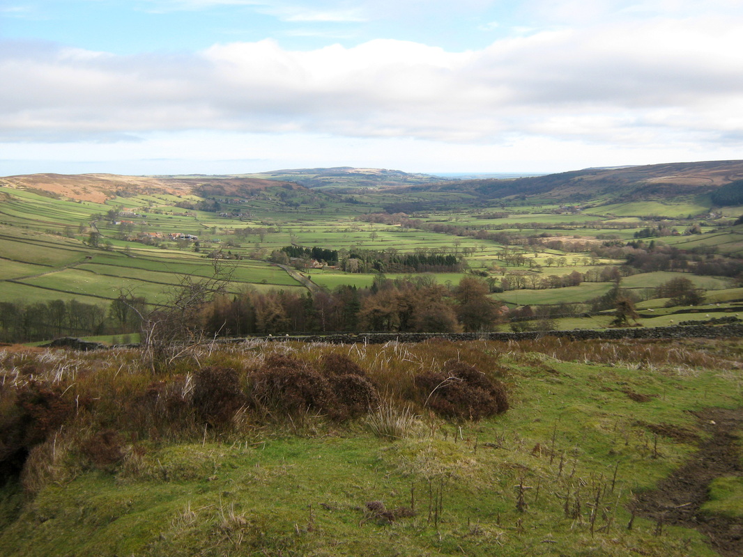
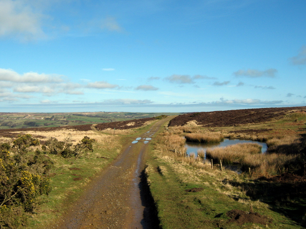
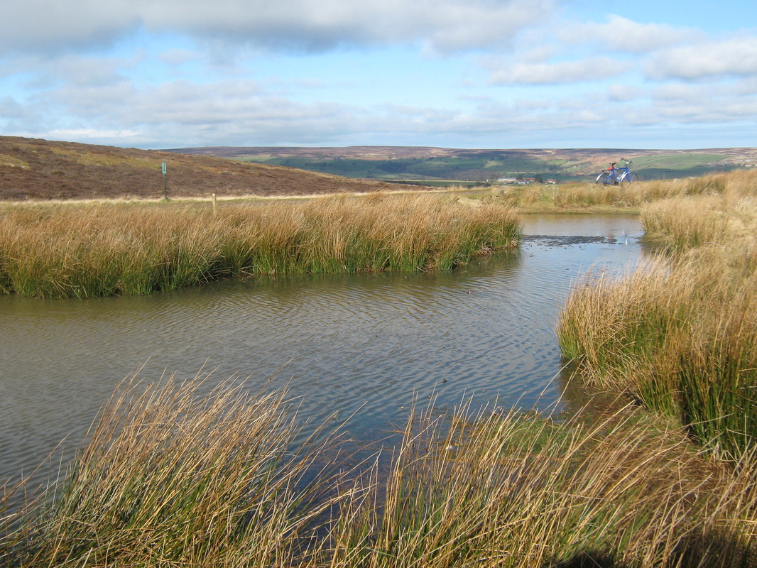
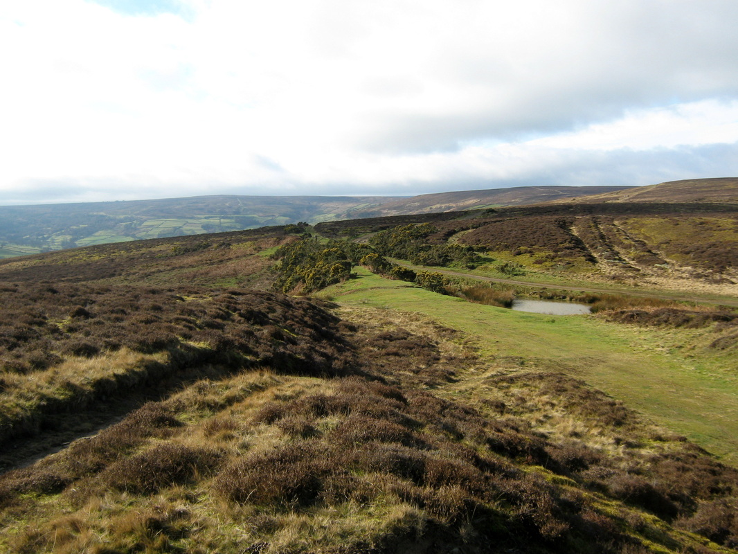
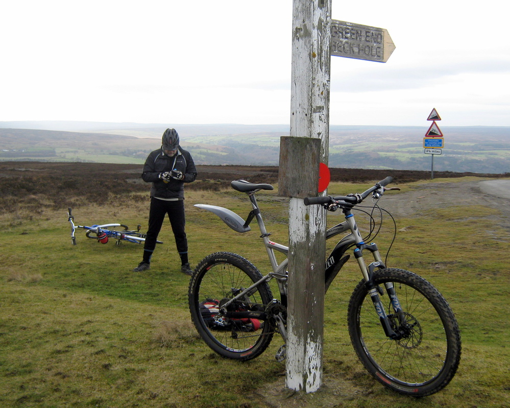
Danby Beacon via Hinderwell 24 April
Distance 42.3 miles
Grade Quite hard work
Terrain Mainly country lanes
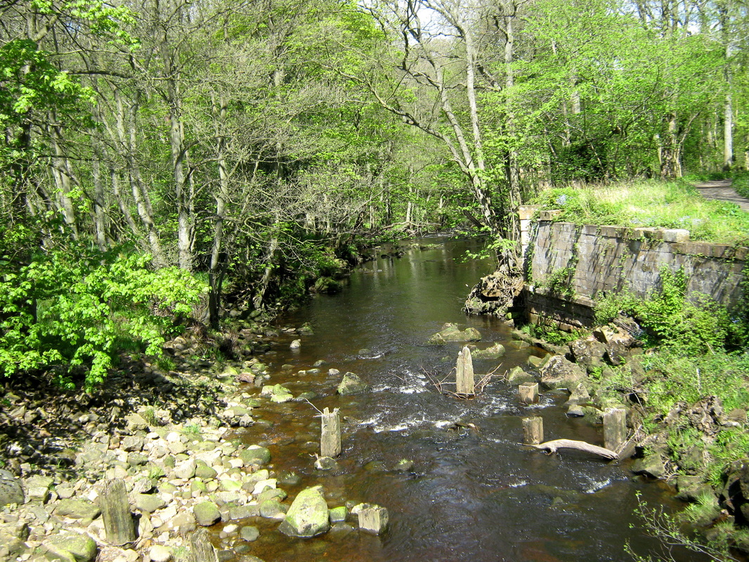
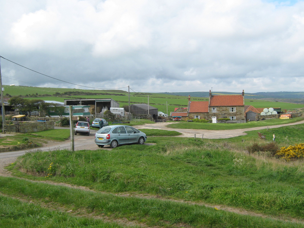
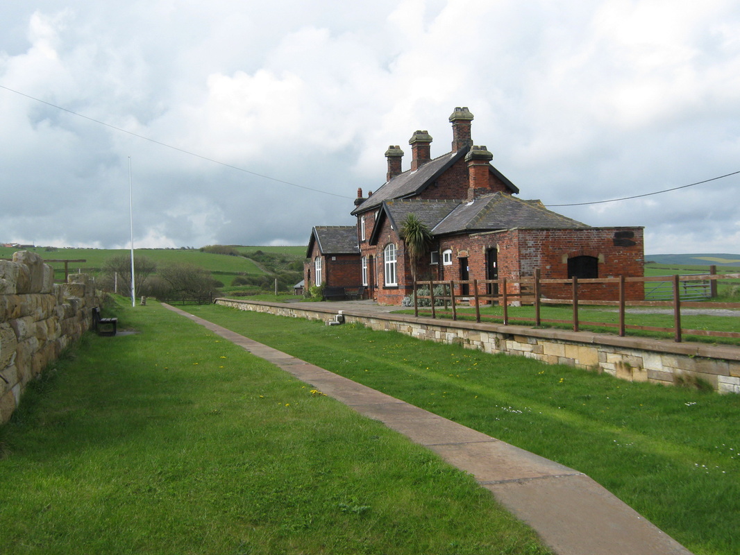
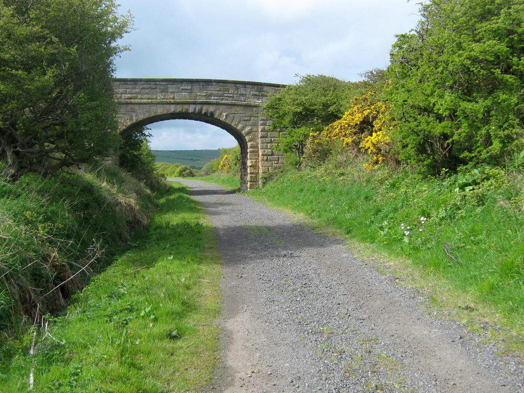
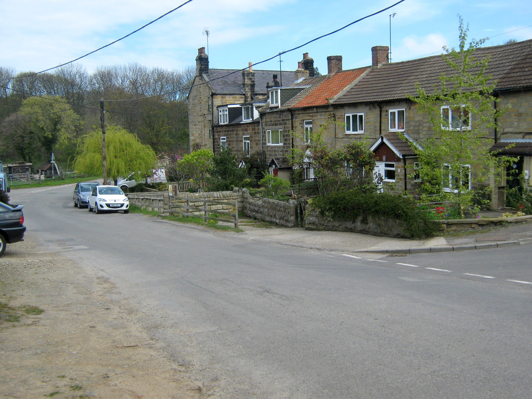
Todays route was from Whitby to Newholme, Dunsley, West Barmby, Kettleness, Ellerby Junction via old railway, Hinderwell, Dalehouse, Danby Beacon and back home via Stonegate, Egton and Aislaby. Weather was overcast, cool, and a light wind which always semed to be against me. because the weather was overcast the pics did not come out as I had hoped but have done my best with them.
Grade Quite hard work
Terrain Mainly country lanes
Todays route was from Whitby to Newholme, Dunsley, West Barmby, Kettleness, Ellerby Junction via old railway, Hinderwell, Dalehouse, Danby Beacon and back home via Stonegate, Egton and Aislaby. Weather was overcast, cool, and a light wind which always semed to be against me. because the weather was overcast the pics did not come out as I had hoped but have done my best with them.
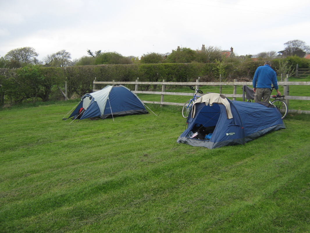
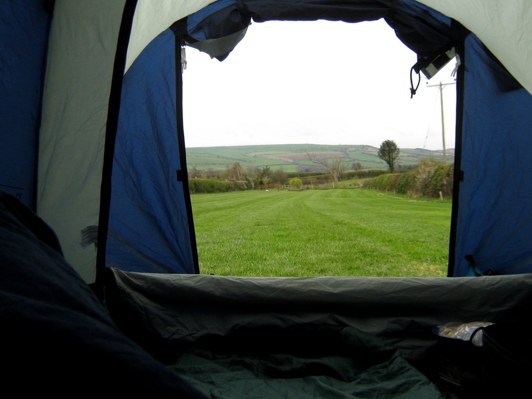
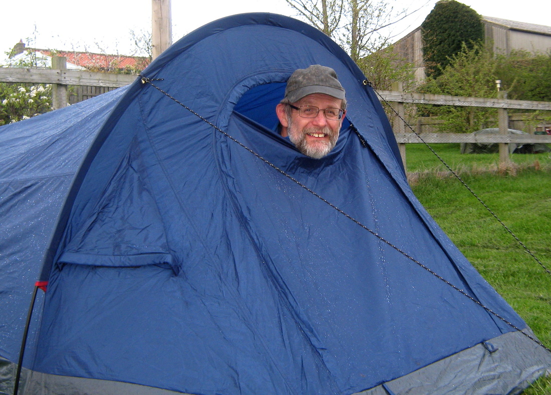
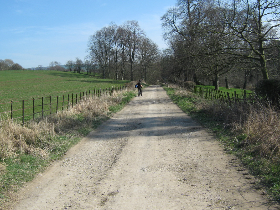
Whitby to Hinderwell via Danby Cross 11 April
(overnight Camping trip)
Distance (2 days,) 34.5
Grade Moderate
Terrain Country lanes & moorland.
The object of this trip was to have a trial run with our camping gear etc. We chose Hinderwell as our destination for no other reason than knowing that there was a camping site with a pub nearby where we could get a meal. After loading our gear we set out and took a route through Egton, Danby Beacon, Borrowby & Hutton Mulgrave. We returned home the following day via Ellerby Crossing & Goldsborough.
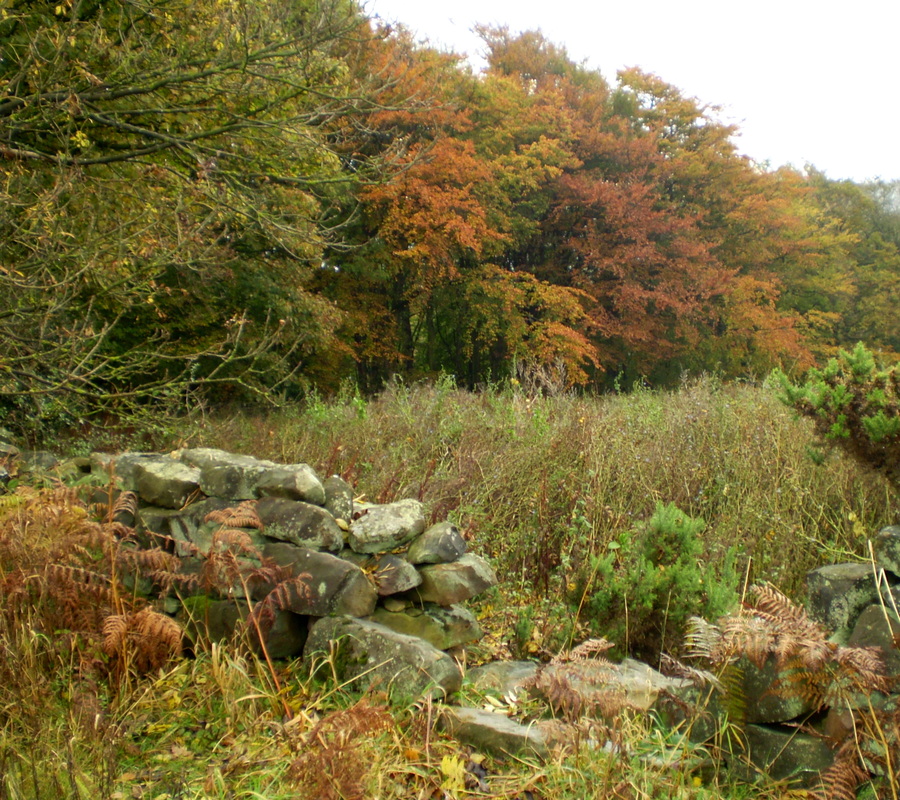
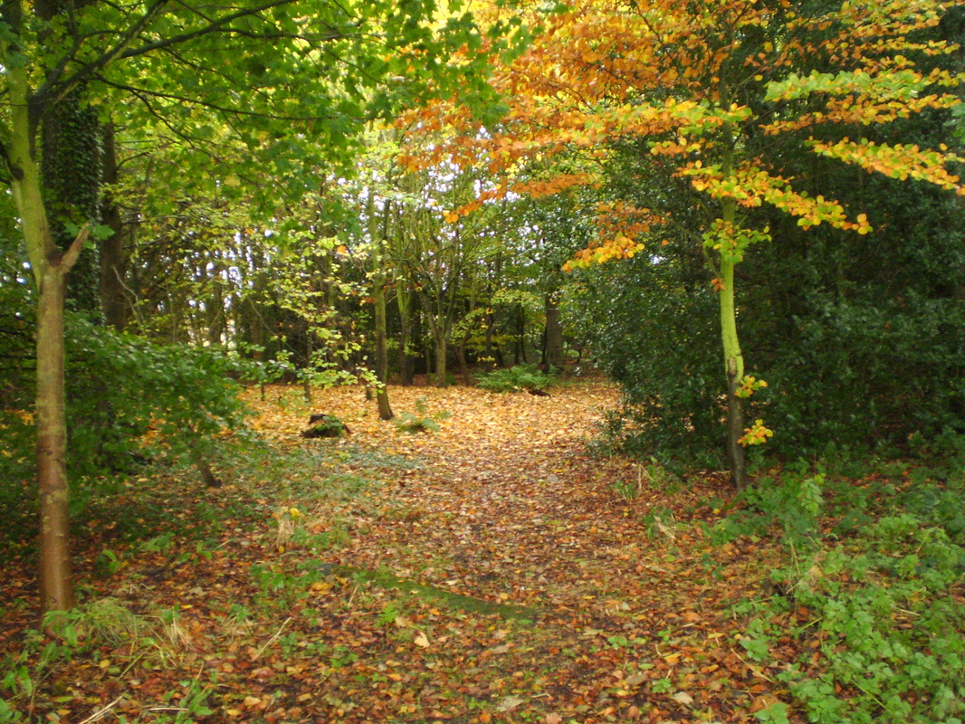
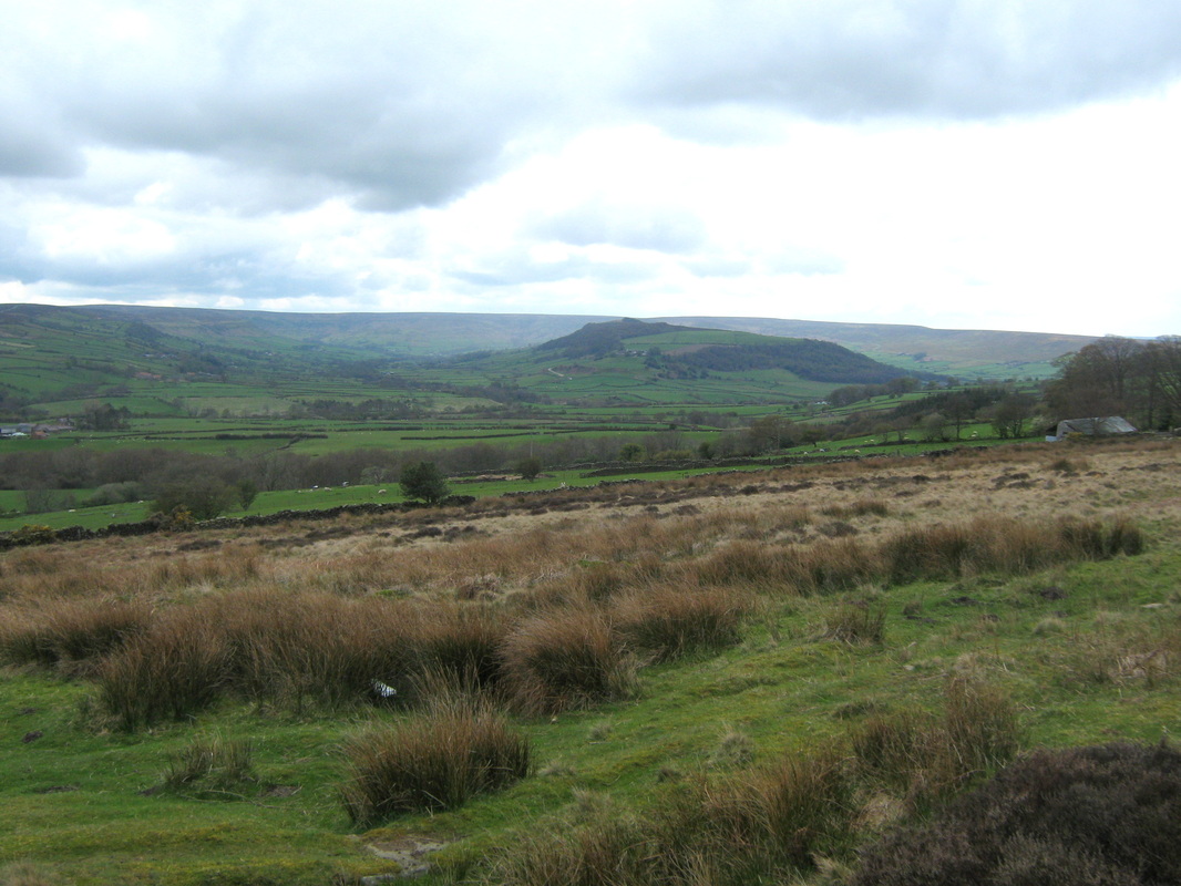
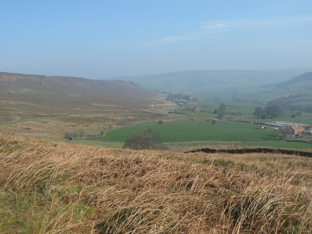
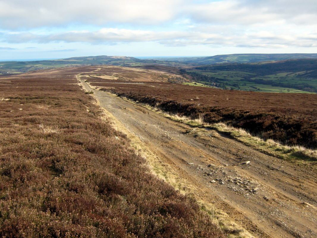
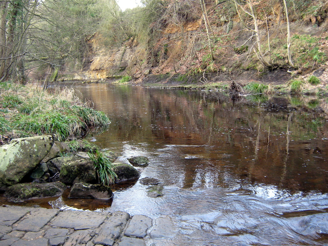
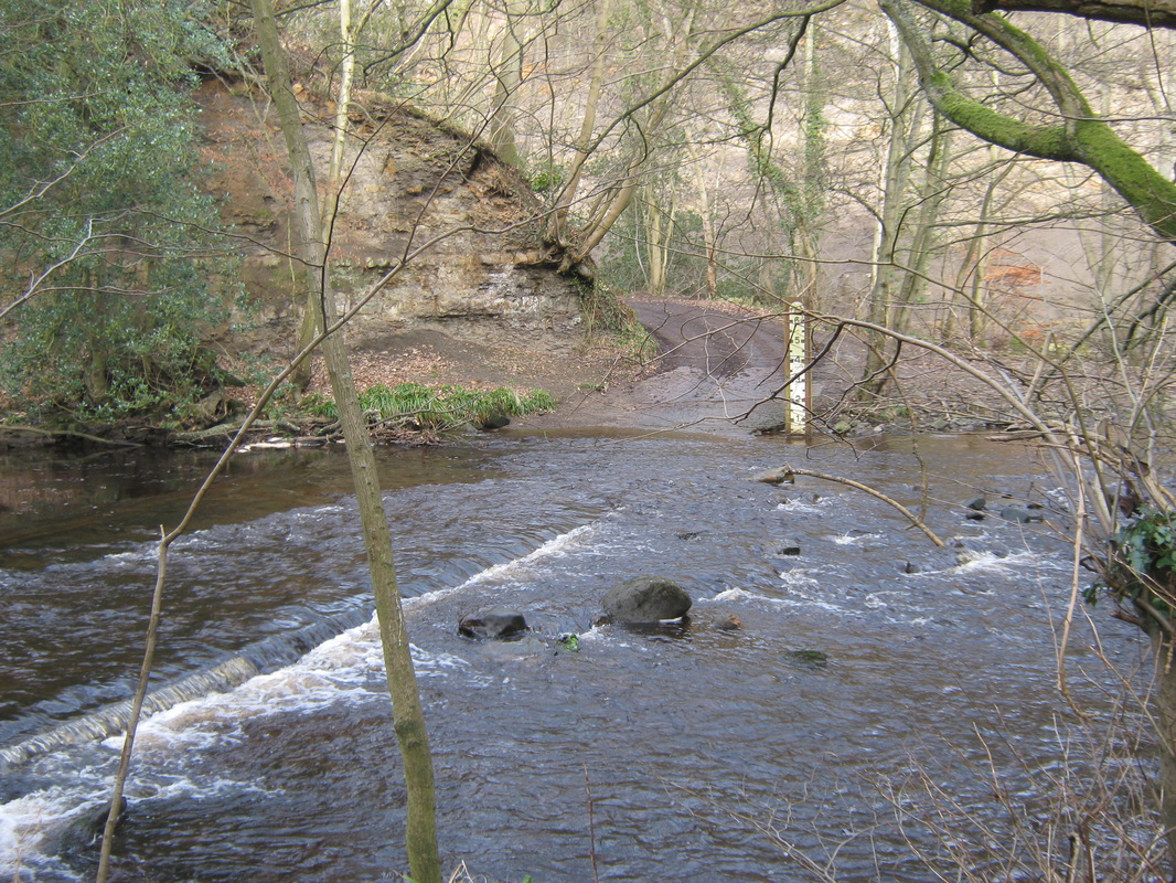
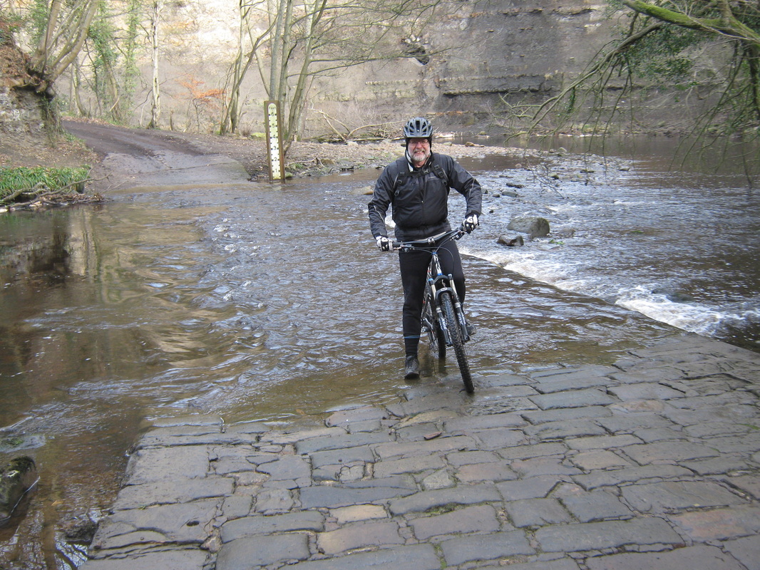
Fryupdale & Rosedale 25 March
Distance 40 miles
Grade Strenuous
Terrian Mainly moorland lanes
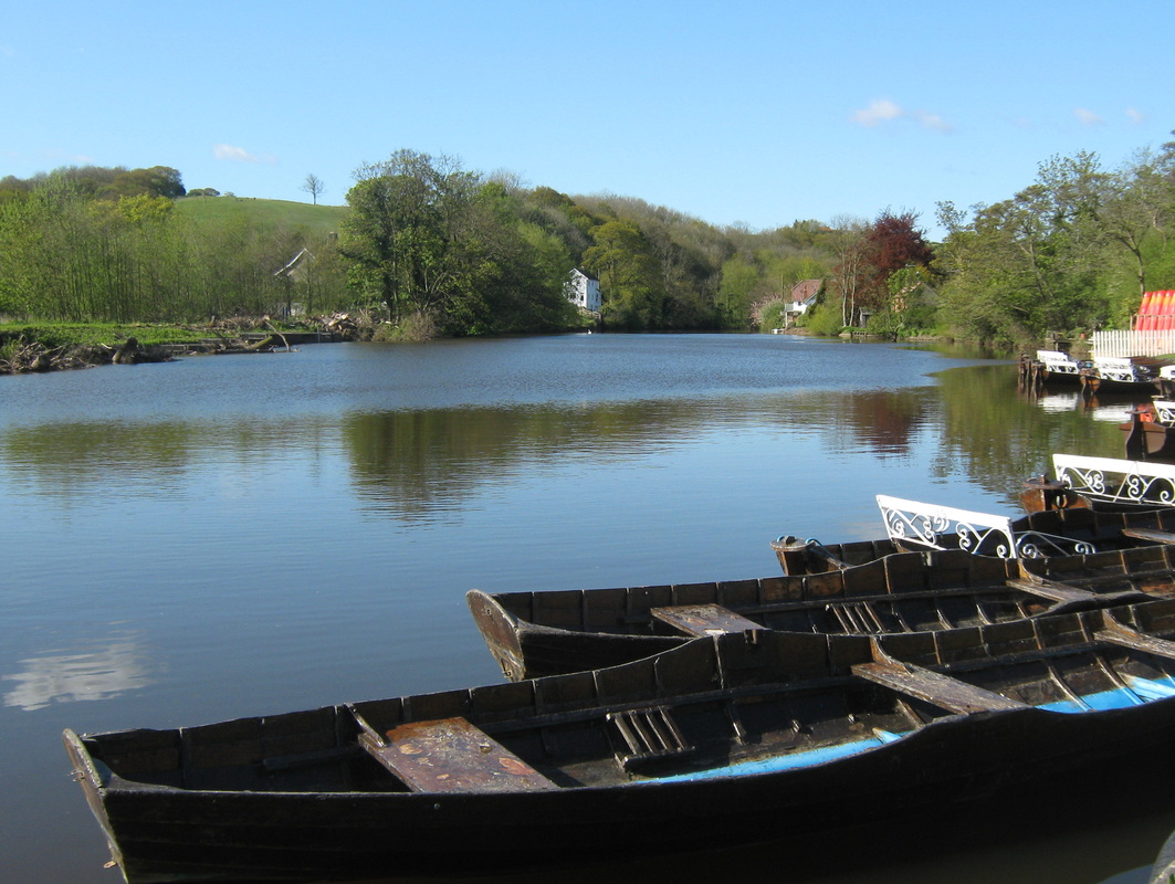
Todays ride was in company with John Leeman. We had both both been looking forward to it for a couple of weeks or so and I do not think that we were disappointed in any way. The weather was absolutly superb, sunny with a light breeze once we were on the tops. Our route took us through Aislaby Side Egton, Fryupdale, over to Rosedale & back home via Egton. A great day out. The only downside was that most of the day there was a very light mist which has affected the quality of my photos. Some of them are not as sharp as I would like.
Grade Strenuous
Terrian Mainly moorland lanes
Todays ride was in company with John Leeman. We had both both been looking forward to it for a couple of weeks or so and I do not think that we were disappointed in any way. The weather was absolutly superb, sunny with a light breeze once we were on the tops. Our route took us through Aislaby Side Egton, Fryupdale, over to Rosedale & back home via Egton. A great day out. The only downside was that most of the day there was a very light mist which has affected the quality of my photos. Some of them are not as sharp as I would like.
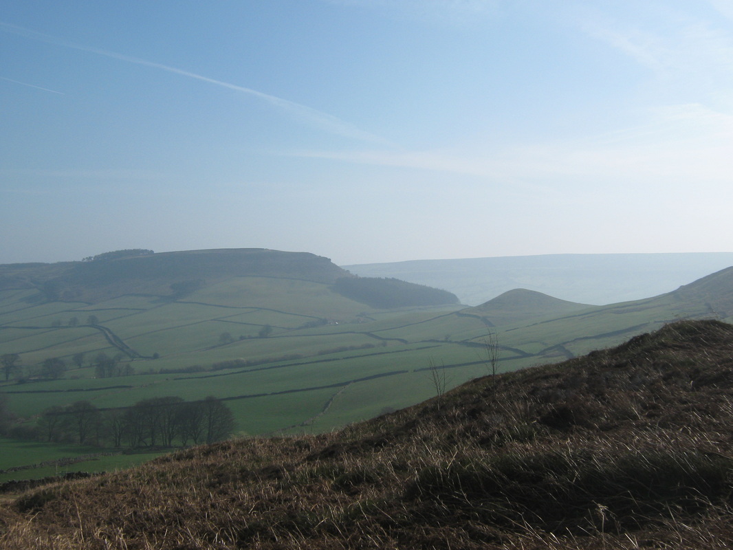
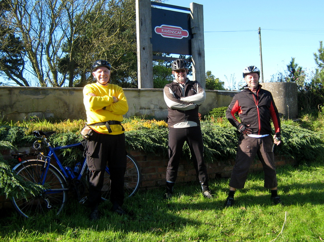
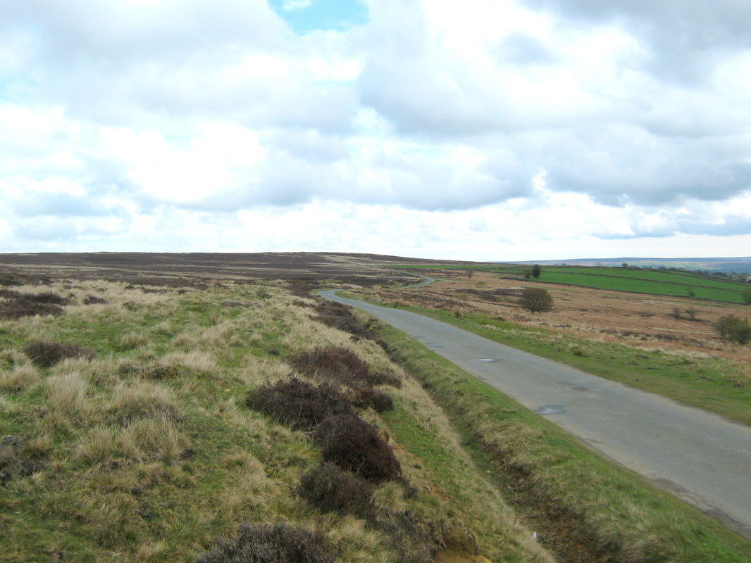
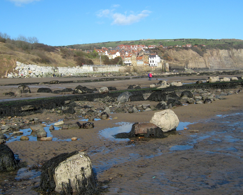
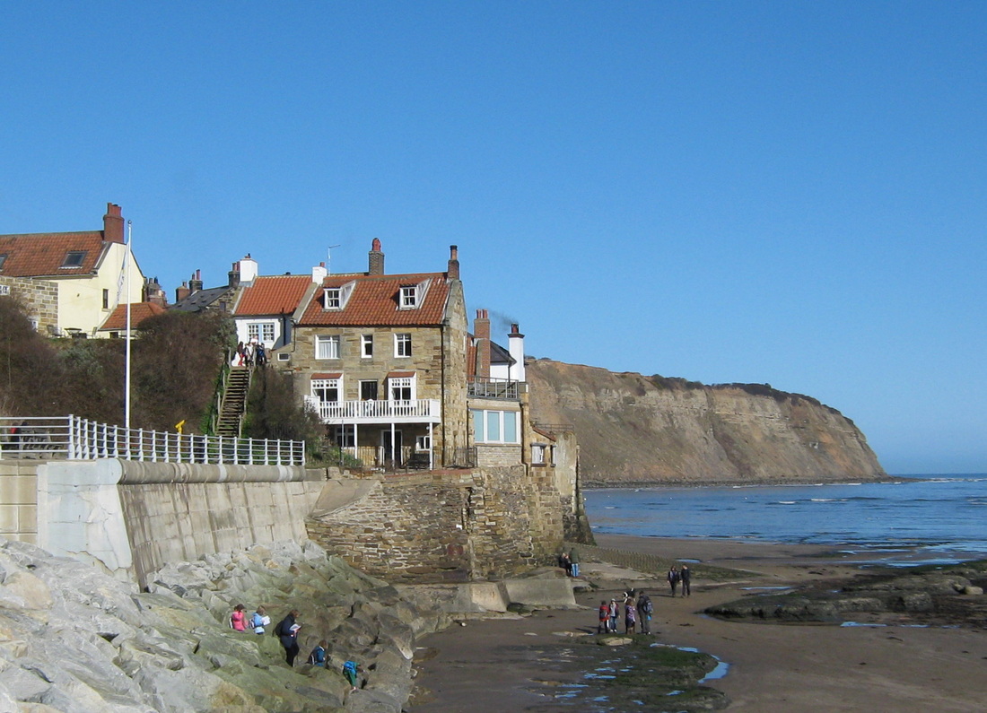
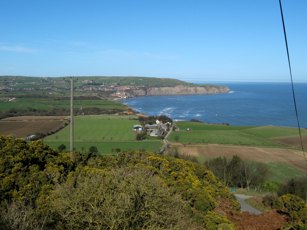
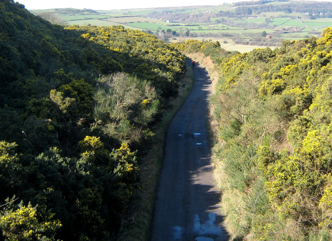
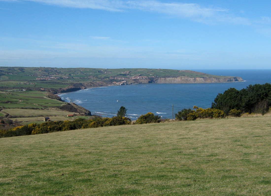
Ravenscar via Robin Hoods Bay 20 Mar
Distance 29.1 miles,
Grade strenuous
Terrain Mixture of roads & tracks with lots of climbs.
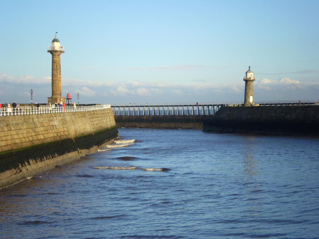
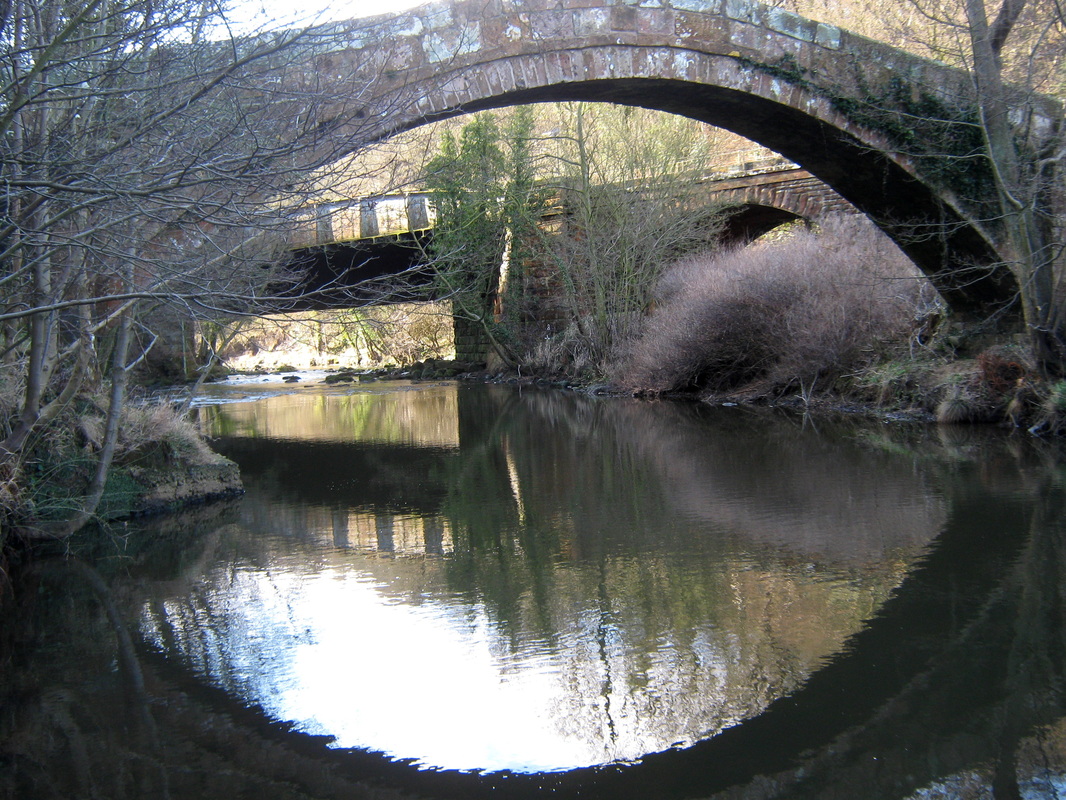
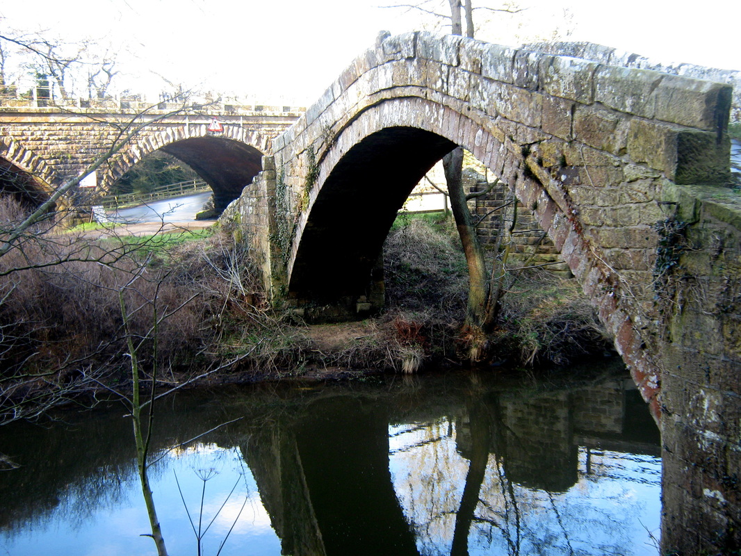
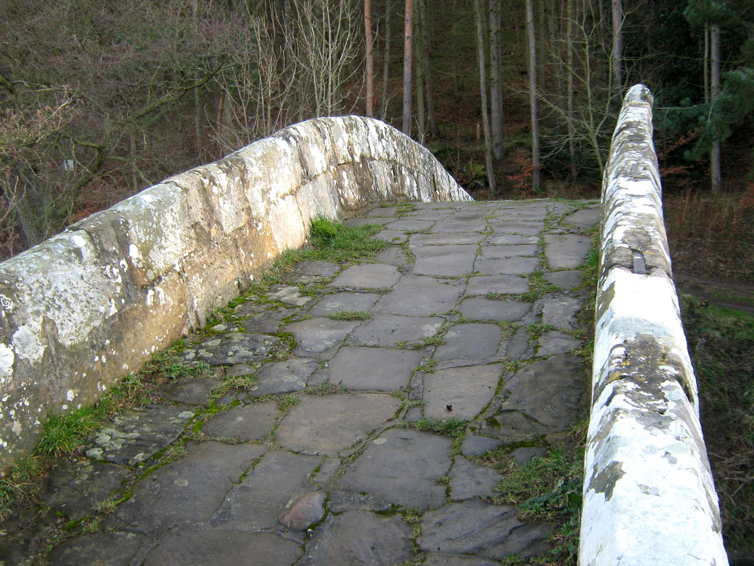
From Whitby I made my way to the old railway which I followed to Hawsker, I then made my way by road to High Normanby. where I took a rough lane from Seaview over to the A171. Turning left & left again on another rough road to the top of Sledgates Bank and the a glorious downhill dash to Robin Hoods Bay wher I stopped for a short break. After a stiff climb up from the village I made my way to Fylingthorpe again where I rejoined the old railway as far as Stoupe Brow. Another stiff climb (on foot this time) & then past the radio mast followed by another descent to Ravenscar where I had lunch. Again I rejoined the railway as far as Fyling Hall where I took the lane to the A171 again. I turned right and after a couple of miles, turned left towards Ruswarp. I then turned right again for Rigg Mill & Stainsacre the back on the main road to Whitby, then it was home via Church St, Pier Rd, up the Kyber Pass to North Promonade then home.
Grade strenuous
Terrain Mixture of roads & tracks with lots of climbs.
From Whitby I made my way to the old railway which I followed to Hawsker, I then made my way by road to High Normanby. where I took a rough lane from Seaview over to the A171. Turning left & left again on another rough road to the top of Sledgates Bank and the a glorious downhill dash to Robin Hoods Bay wher I stopped for a short break. After a stiff climb up from the village I made my way to Fylingthorpe again where I rejoined the old railway as far as Stoupe Brow. Another stiff climb (on foot this time) & then past the radio mast followed by another descent to Ravenscar where I had lunch. Again I rejoined the railway as far as Fyling Hall where I took the lane to the A171 again. I turned right and after a couple of miles, turned left towards Ruswarp. I then turned right again for Rigg Mill & Stainsacre the back on the main road to Whitby, then it was home via Church St, Pier Rd, up the Kyber Pass to North Promonade then home.

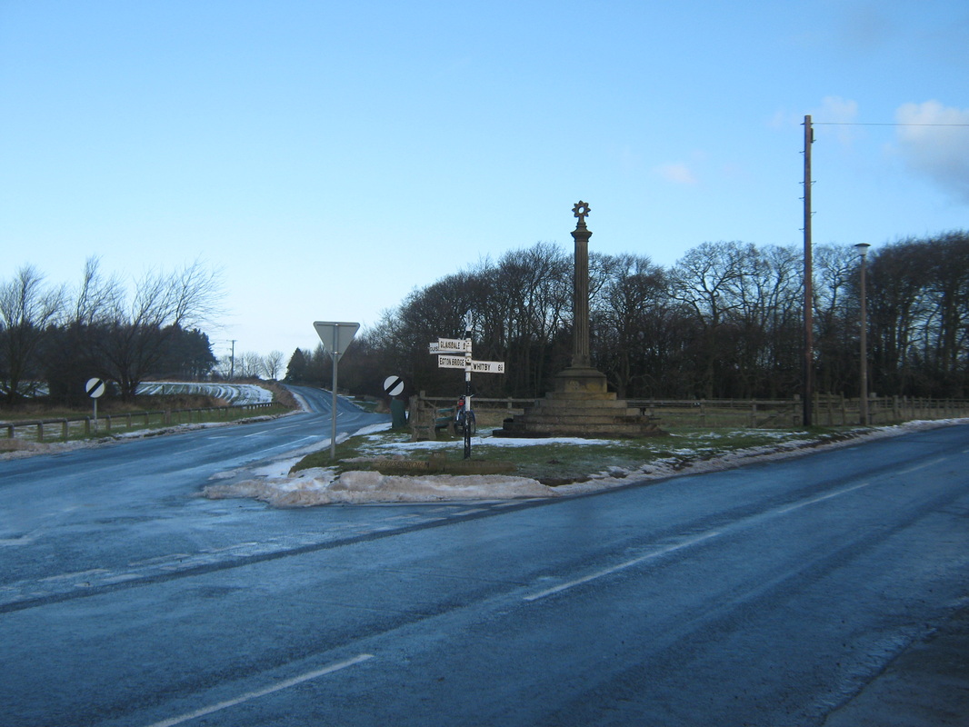
Glaisdale 28 Feb
Distance 26.3
Grade Moderate
Terrain Country Lanes with a mile or so of rough track
The forcast was good so I took the oppertunity to have a longer run, and it was an excellent few hours. The route was out via Aislaby, & Egton, down Limber Hill 7 on to Glaisdale. After riding up the dale I returned along Glaisdale Rigg and back home by the same route.
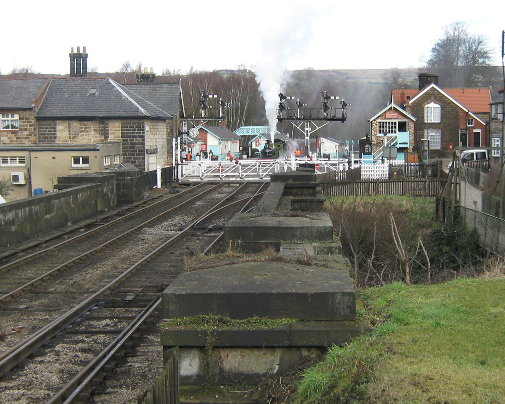
Grosmont & Goathland Feb 16
Distance abt 20.9 miles
Weather Overcast with a breeze from the west.
John and I decided that we should have a longer ride today and set out with no definite plan as to where we were going. The route we followed was along the Aislaby side of the Esk Valley, down to Grosmont & on to Goathland returning home via Sleights
Weather Overcast with a breeze from the west.
John and I decided that we should have a longer ride today and set out with no definite plan as to where we were going. The route we followed was along the Aislaby side of the Esk Valley, down to Grosmont & on to Goathland returning home via Sleights
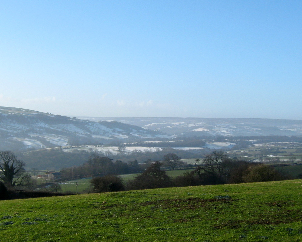
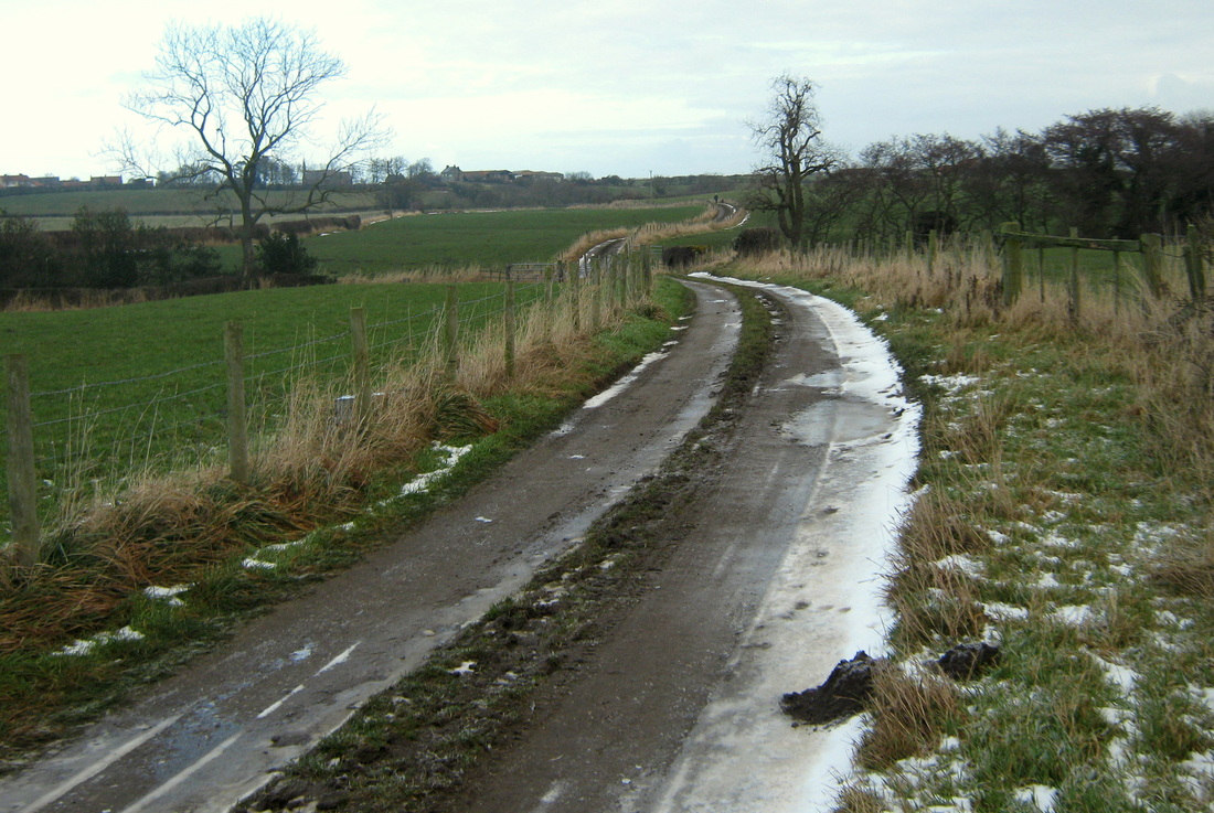
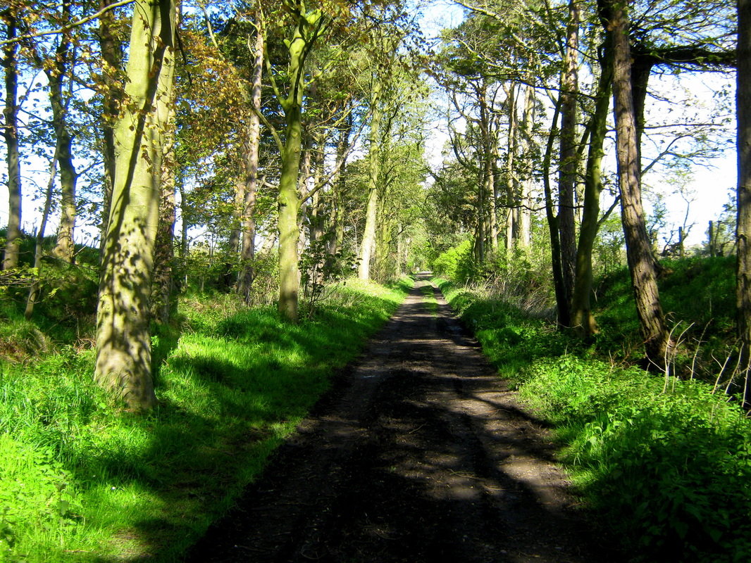
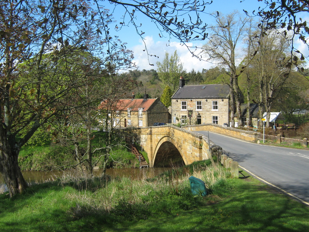
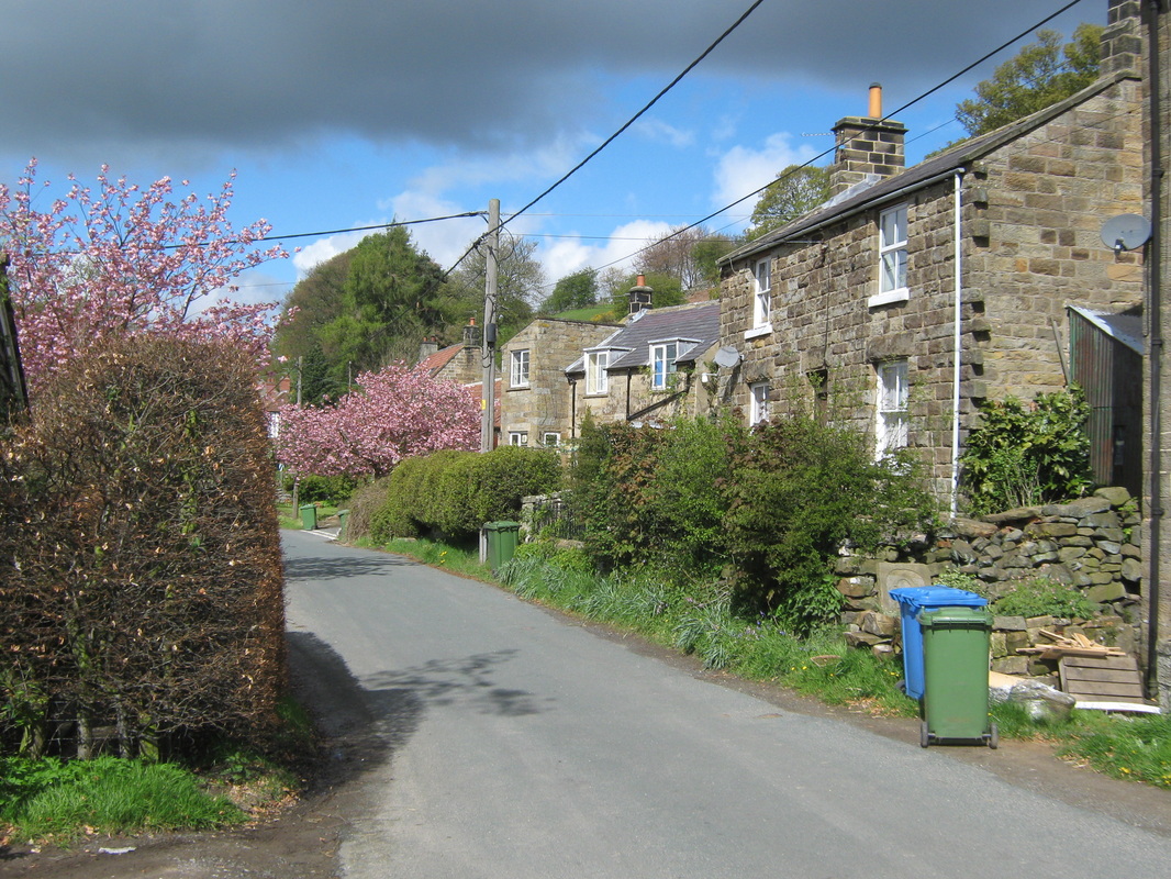
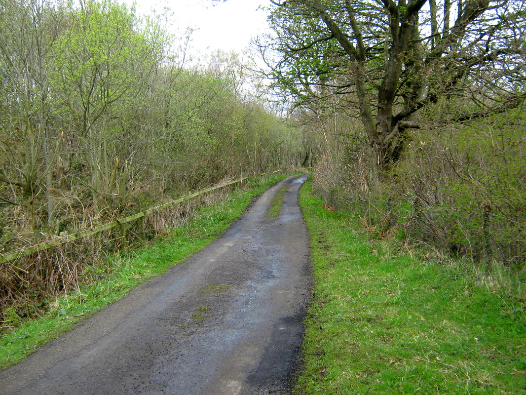
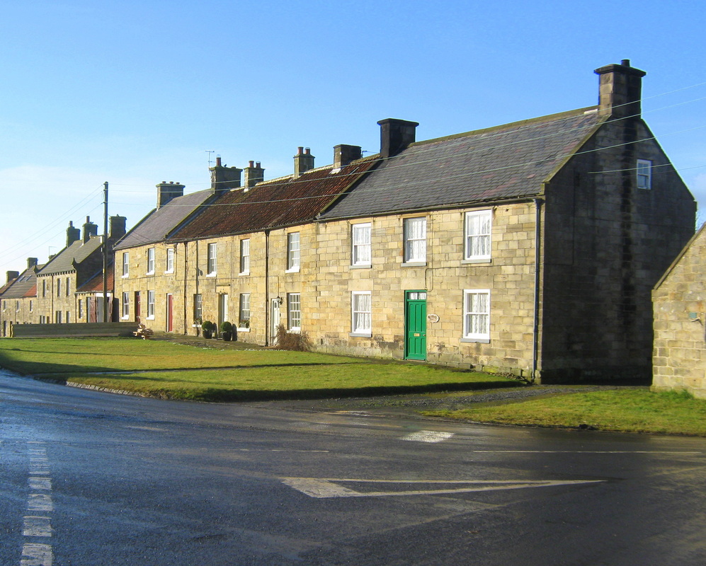
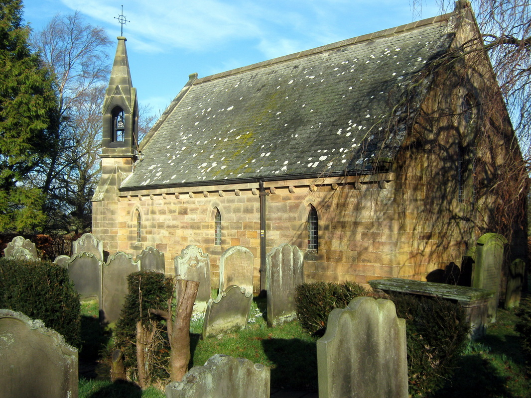
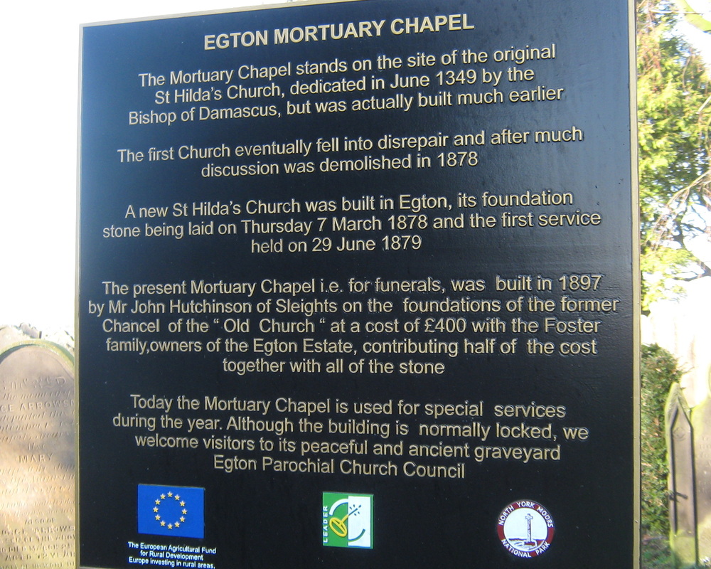
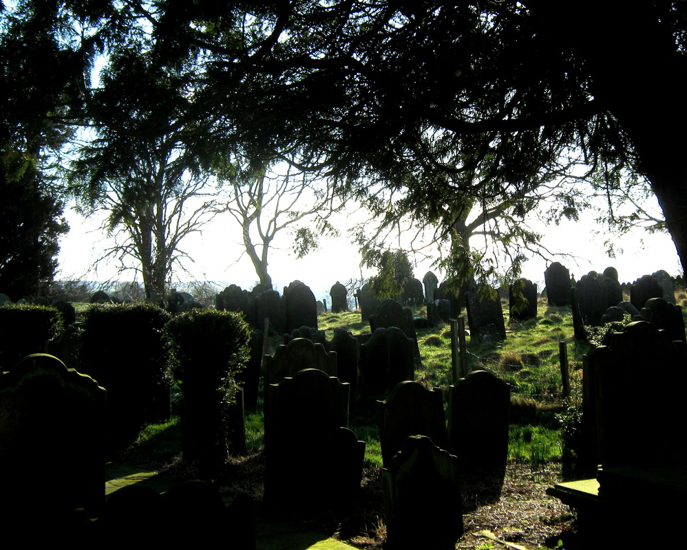
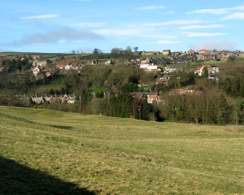
Aislaby, Egton, Ugthorpe & Lythe Feb 7th
Distance abt 17 miles.
The day started quite well weatherwise. Quite cold with the last of a recent snowfall still hanging about, but with clear skies and bright sunshine. This route is one which I do quite often as a training ride and to me is quite challenging because the first half of the ride is a steady uphill pull and it usually takes me about half an hour to get my legs working properly.
The weather began to change as I reached Egton and by the time I got to Ugthorpe (sometimes known locally as Indian City) it was raining steadily.